Storm Journal August 19-24 – The Antarctic Blob Does the Job
Mountainwatch | Reggae Elliss
Finally, a real winter storm delivered widespread snowfalls across the Australian Alps last week with cold, sub-zero temps and strong WNW winds, reaching gale force at times. These storms are often labelled with some sort of marketing-spun title, but this system has been called an “Antarctic Blob”, but some meteorologists, a term that makes Blizzard of Oz sound lame and pedestrian.
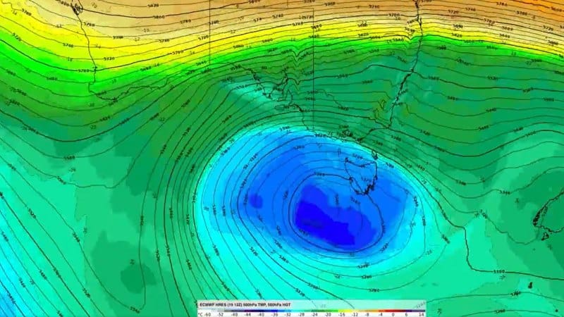
Call it what you will, but as the Grasshopper said in his forecast last Monday, the snow is the result of a “a super-duper low” south of Tasmania sending a series of cold fronts across the south-eastern Australia.
“This super-duper low will chuck powder at the Aussie Alps from Wednesday through to Saturday with blizzard conditions. Most resorts should see a storm total of 50-80cm, but 1m+ could fall about high ground of the Snowies.”
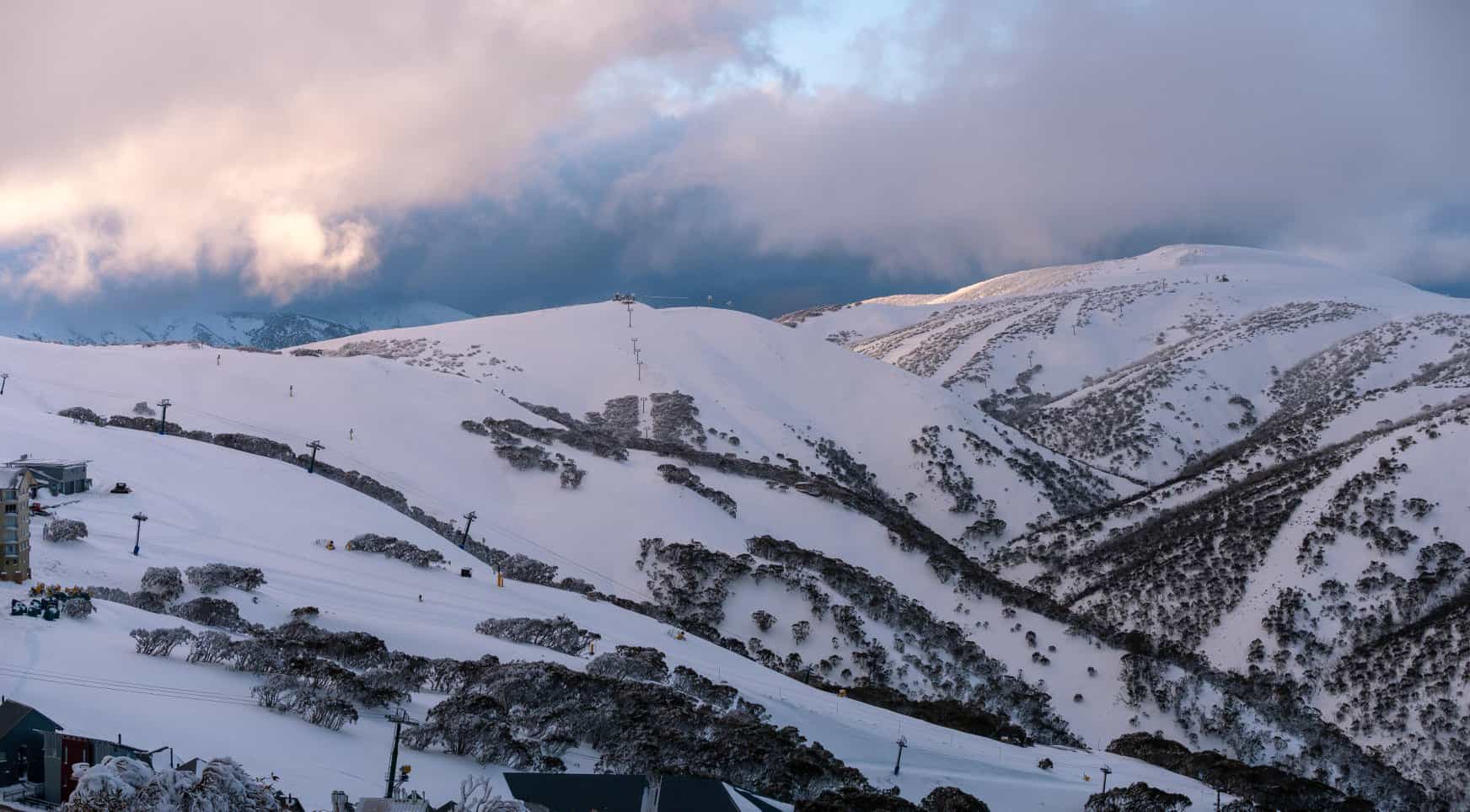
Well, he was right and after an excellent few days in the mountains snow falls finally eased on Sunday leaving 80-96cms above 1800 metres across the Australian resorts. Today, like yesterday is a fair-weather skier’s dream, bluebird, light winds and high-quality packed snow, an overnight low -9 ensuring the snow remains soft and dry.
The snowfalls continued over five days, the snow getting progressively lighter and better each day, starting in NSW last Tuesday night when 10cms fell overnight. The snow showers increased during the day on Wednesday and there was another 15cms across the NSW resorts by Thursday morning.
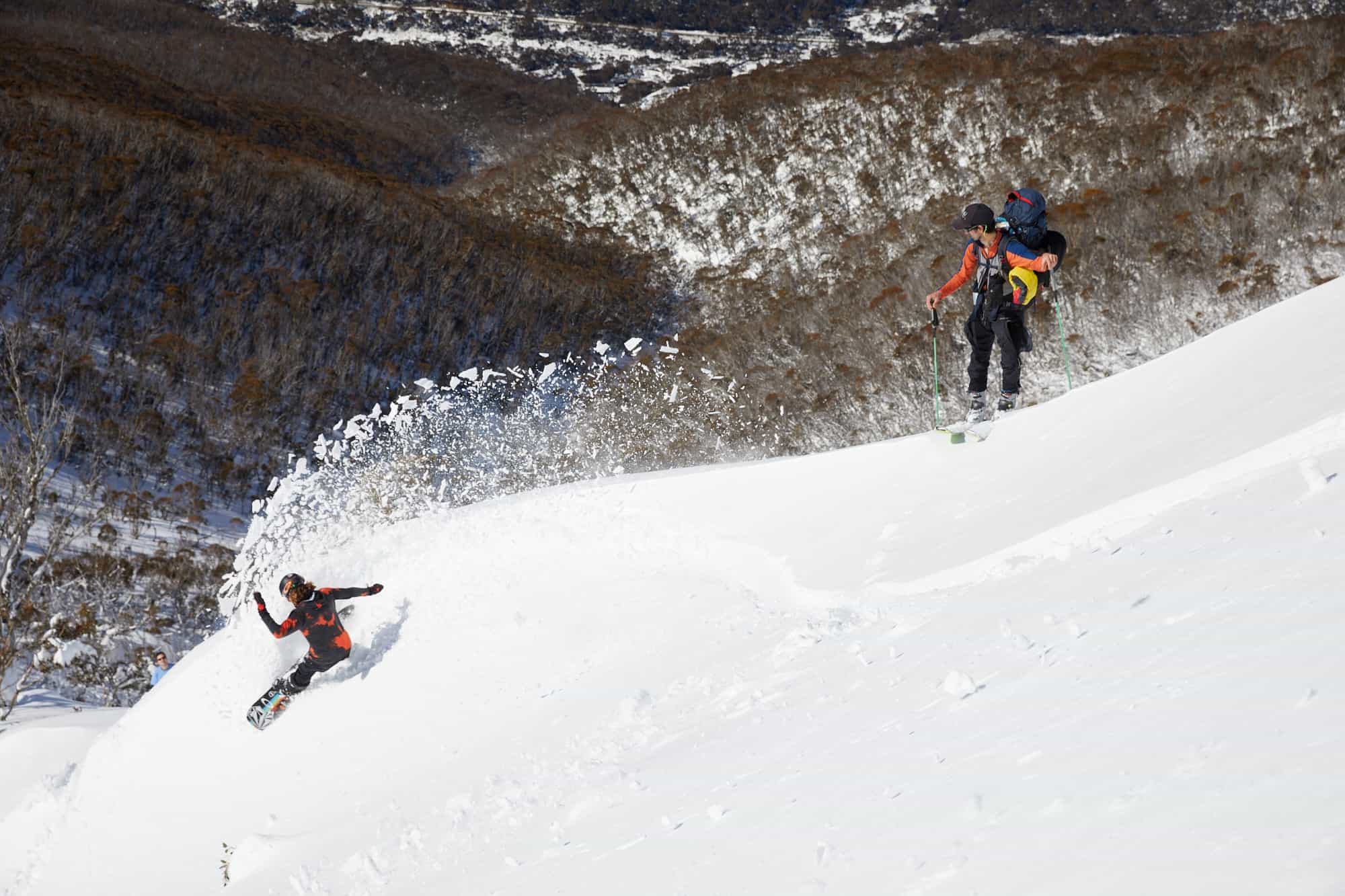
Snowfalls also increased in Victoria on Wednesday night and continued on Thursday, the cover changing from “early season” to mid-winter as 50-70cms fell by Saturday morning. For those living in the resorts it gave new meaning to their exercise regimes with plenty of snow for touring, and turns, where permitted.
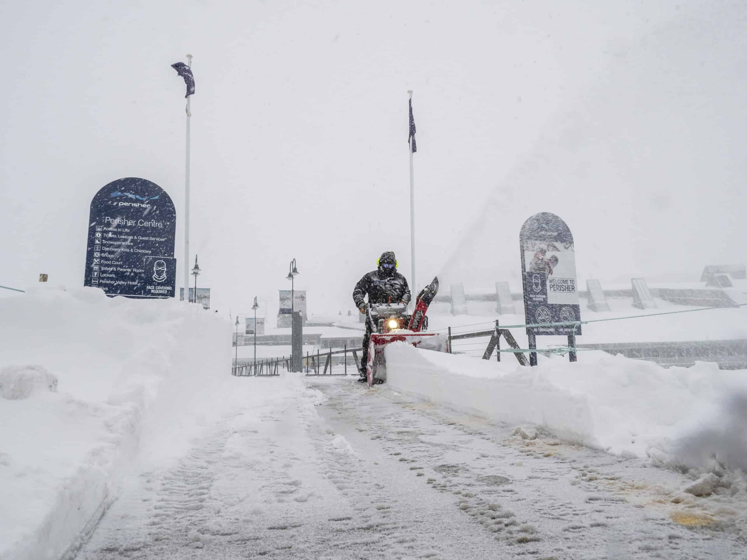
Northwest winds had picked up during the day on Friday in NSW with some lifts on wind and visibility hold, but for the consistent snowfalls and wind-blown snow made for a great day on the hill. The strong winds continued overnight, peaking at 107km/hr at Thredbo’s top station in the early hours by Friday morning as the strongest cold front of the week approach the mountains.
Mountainwatch snow report for Perisher: Friday, August 21 6.30am: Snowy and windy again this morning another 10cms overnight at the base and 20cms up high and snowfalls above are expected to continue throughout the day. It is currently -2 at the base in Perisher and -2.8 at the top of Mount P with northwest winds at 35-55m/hr forecast throughout the day, taking the wind-chill down to -16. Another day for powder turns with a blanket of fresh snow across the resort with fresh turns off piste while the main runs have a layer of fresh snow on a groomed base.
This second, stronger front saw widespread snowfalls across the Australian Alps on Friday with another 20cms and with the temp at -3.3 and the wind-chill at -16 the snow was “light and dry”. Strong winds continued to blow in a lot of snow around the peaks and the snow level dropped during the day as the temps plummeted, setting up an incredible day on Saturday. It was cold and windy with poor visibility at times, but the snow was awesome and up there with any of the best days of the past few winters.
Thredbo snow report Sunday, August 23: Yesterday was the best day of the season, dry powder and one of those days where it kept filling in all day with consistent snowfalls and a lot of wind-blown. We had about 15cms during the day, so the storm total above 1700metres is now sitting at around 85-90cms
Last week the Grasshopper titled his forecast “Season Starter Storm – Better Late Than Never” which is a good illustration of how this season is going. This is also only the third storm journal we’ve published this year, the last one published on July 14 while the only other was pre-season on May 4!
The Snowy Hydro’s depth reading for Spencers Creek was 127cms last Thursday and will most likely pass 1.5 metres this week, not too bad with spring just and the corner. The lifts in the NSW resorts are scheduled to keep spinning until October 4 so Grasshopper’s call of better late than never is appropriate with potentially another six weeks left in the season.
No doubt Victorian skiers and snowboarders in lockdown watched the storm and increasing snow totals with mixed emotions, but the Grasshopper reckons there is good potential for spring turns if the restrictions ease on September 16: “Long-range models show plenty of potential for more snowfall during the following weeks. Maybe the season has just been saving itself until Covid-19 restrictions ease up?!
We can only hope.
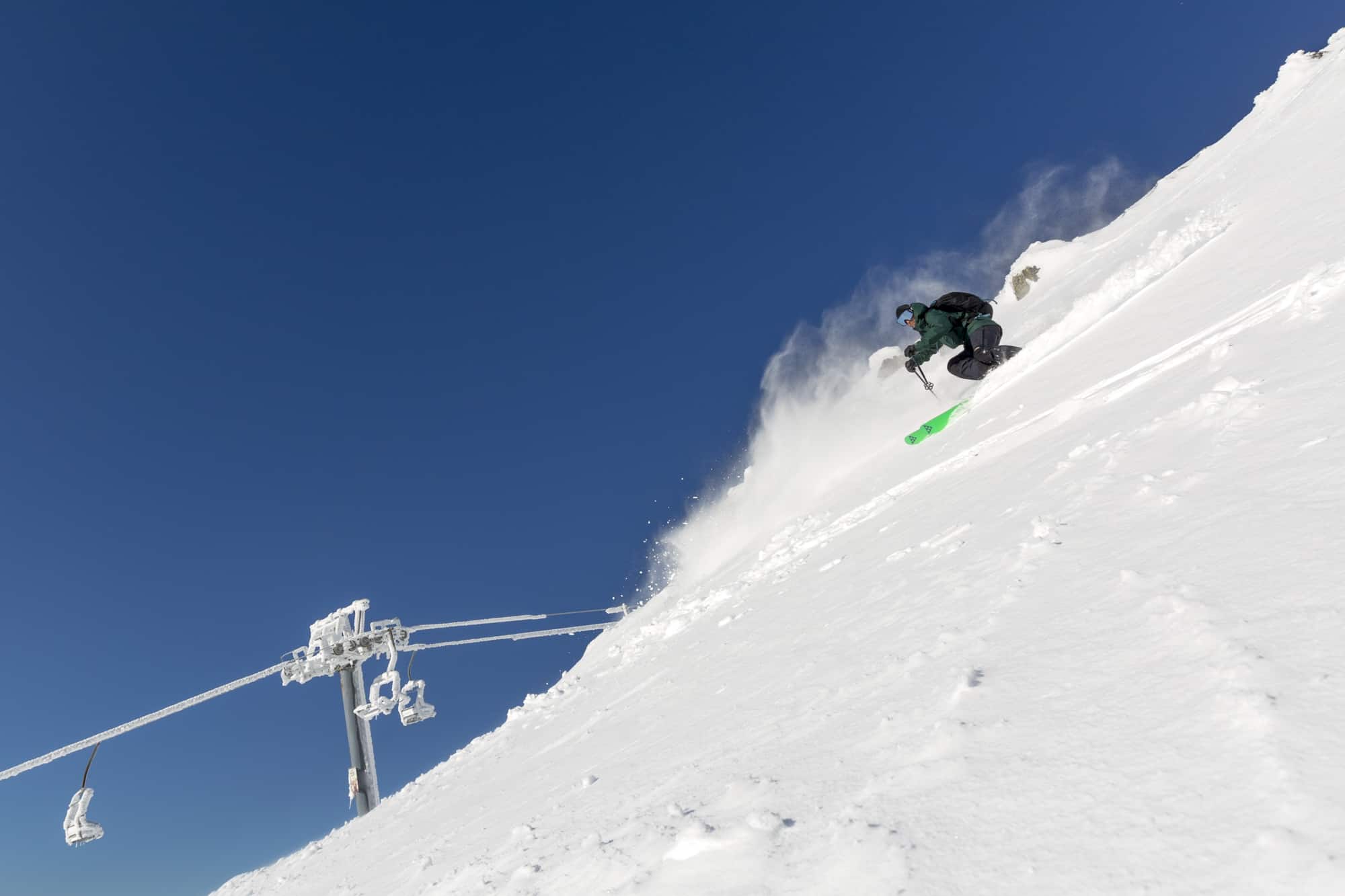
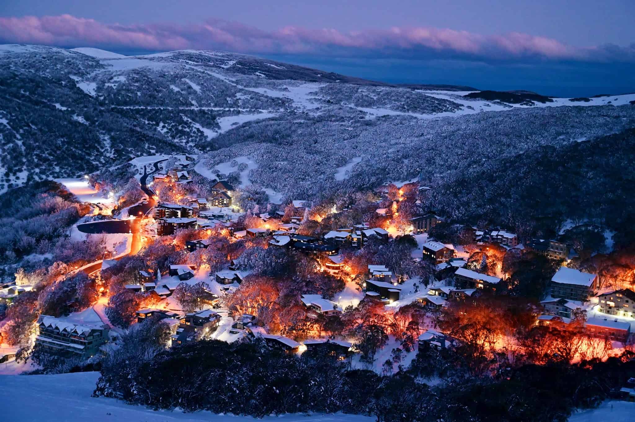
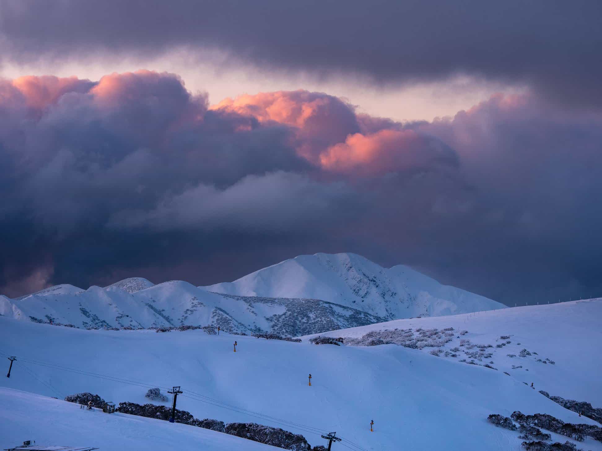
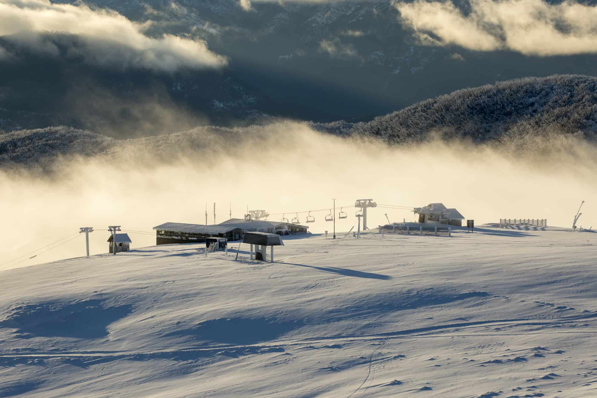
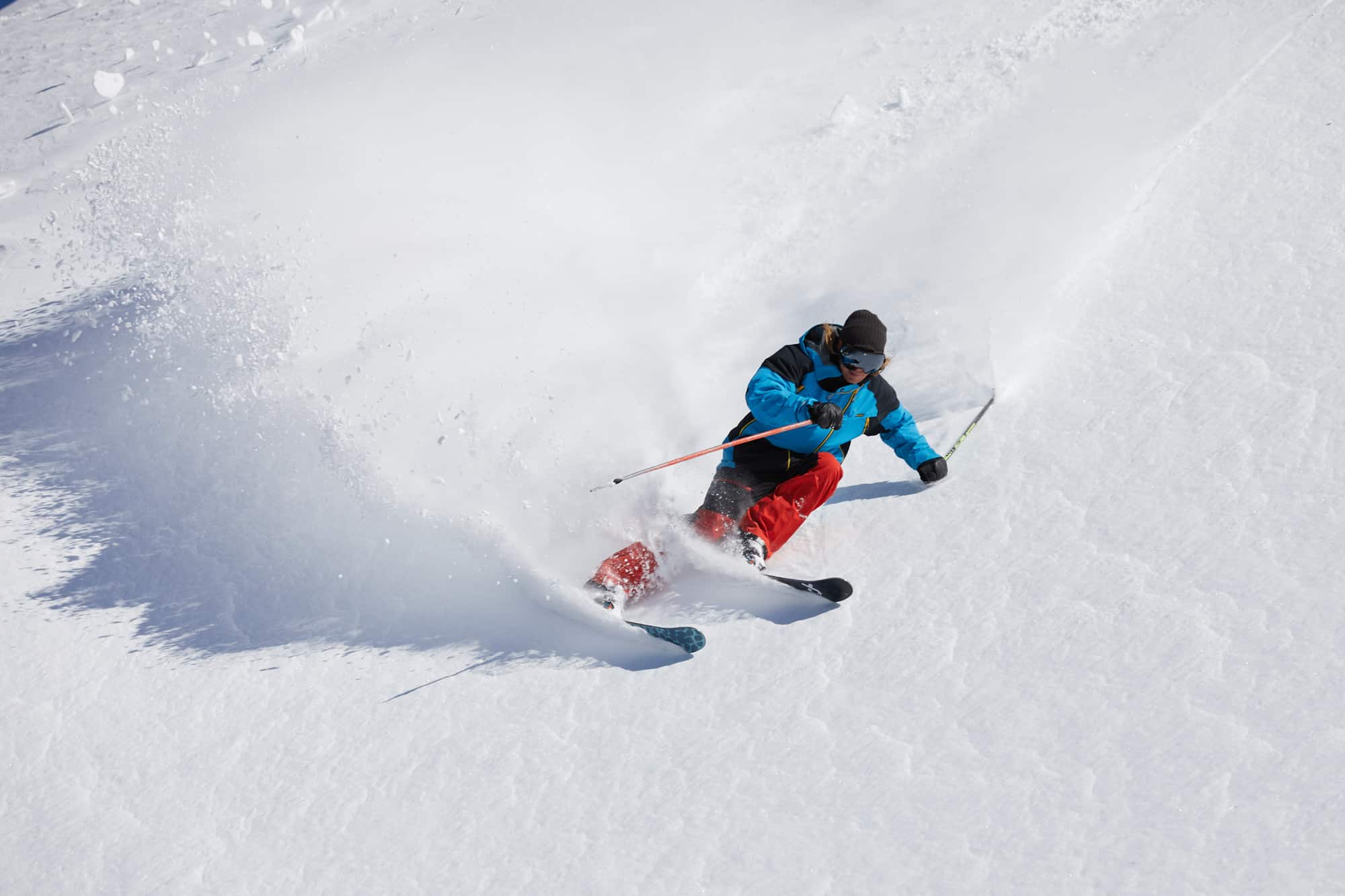
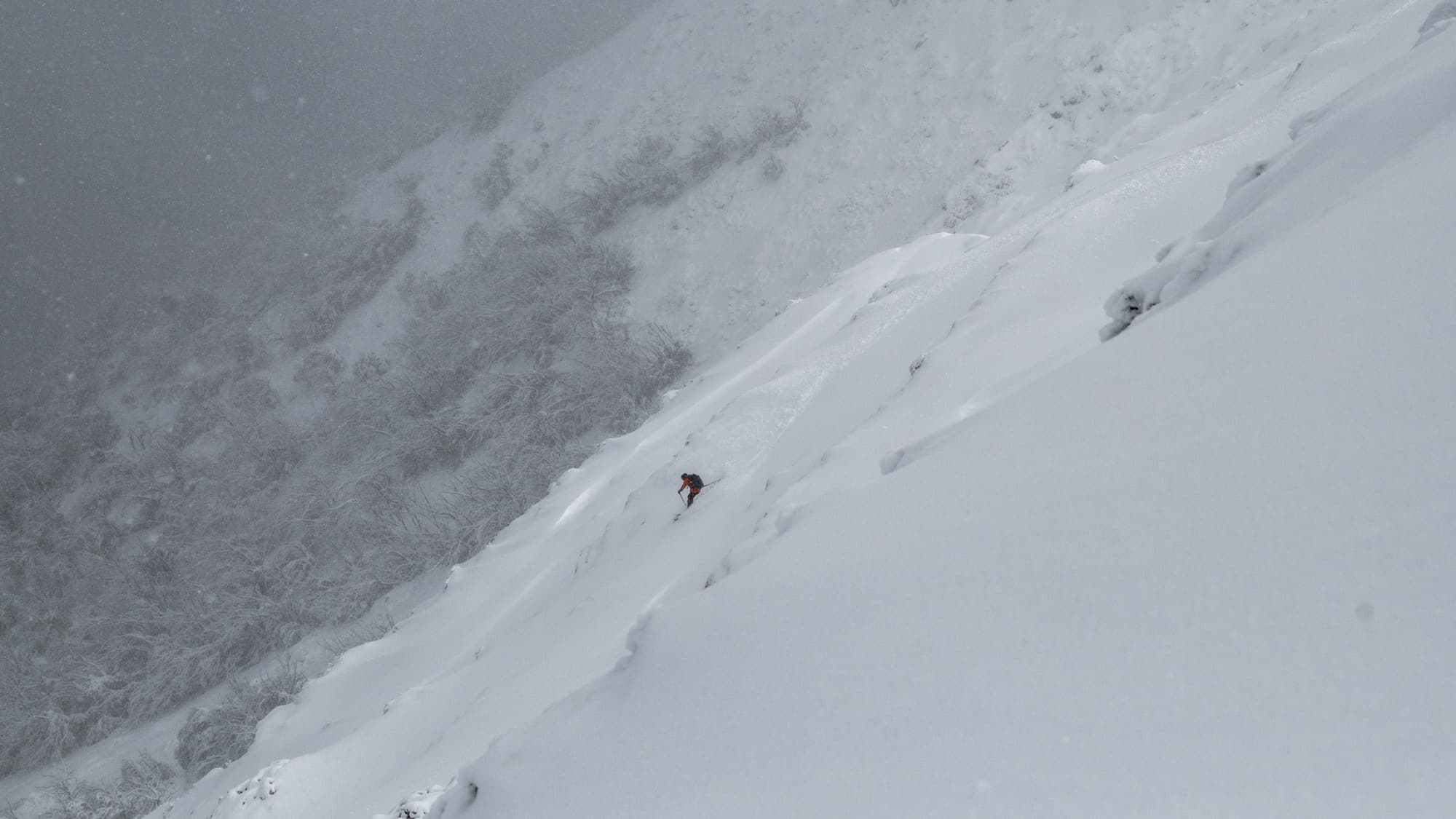
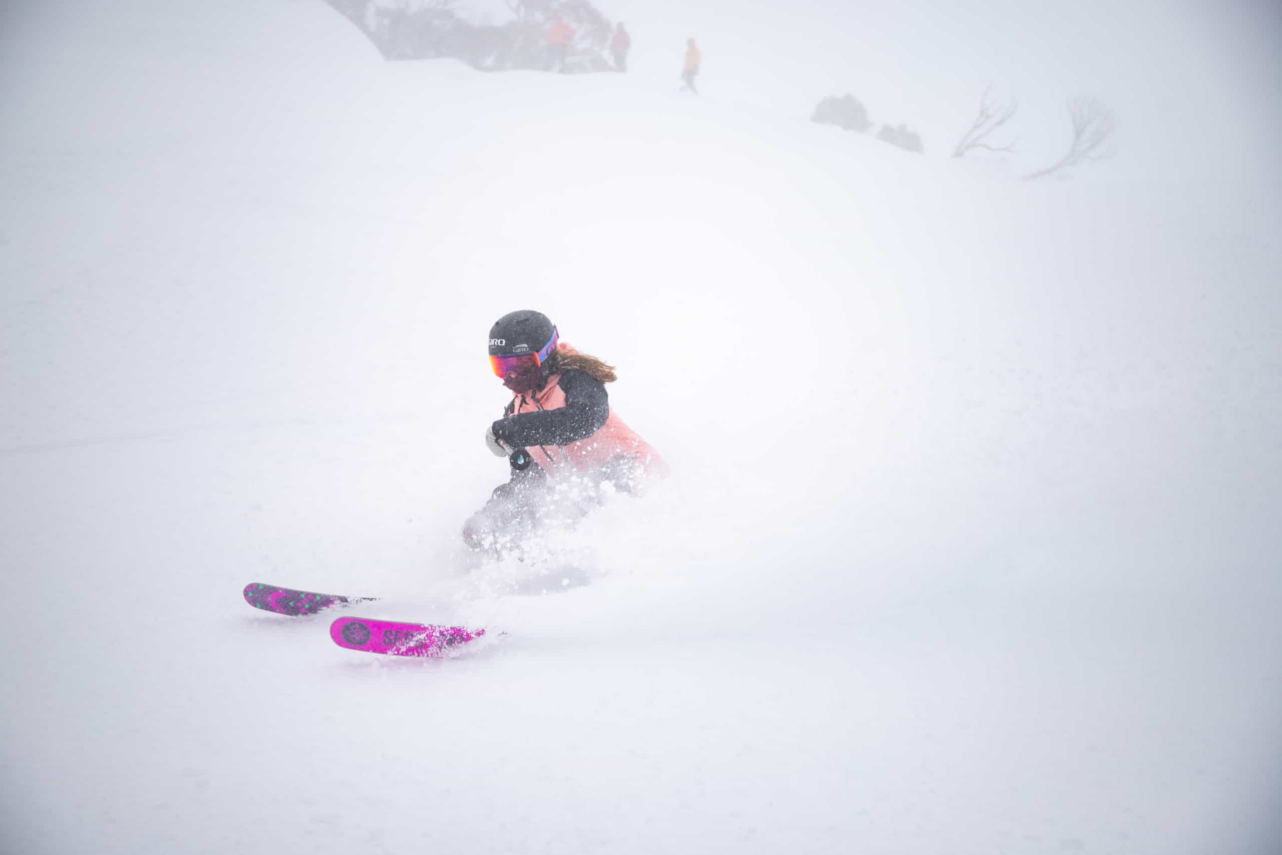
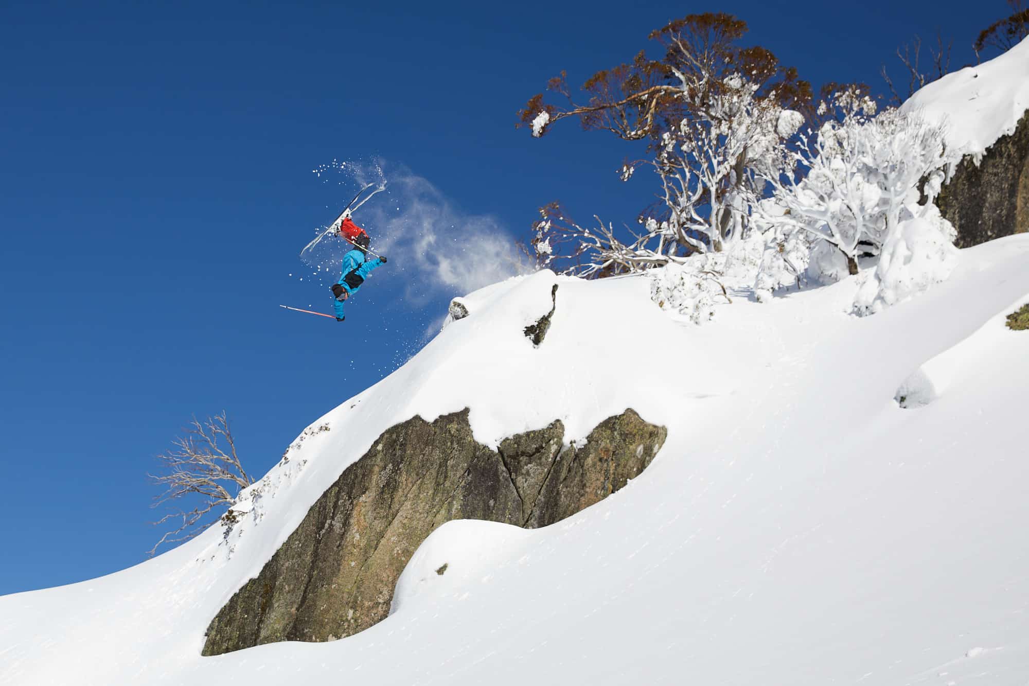
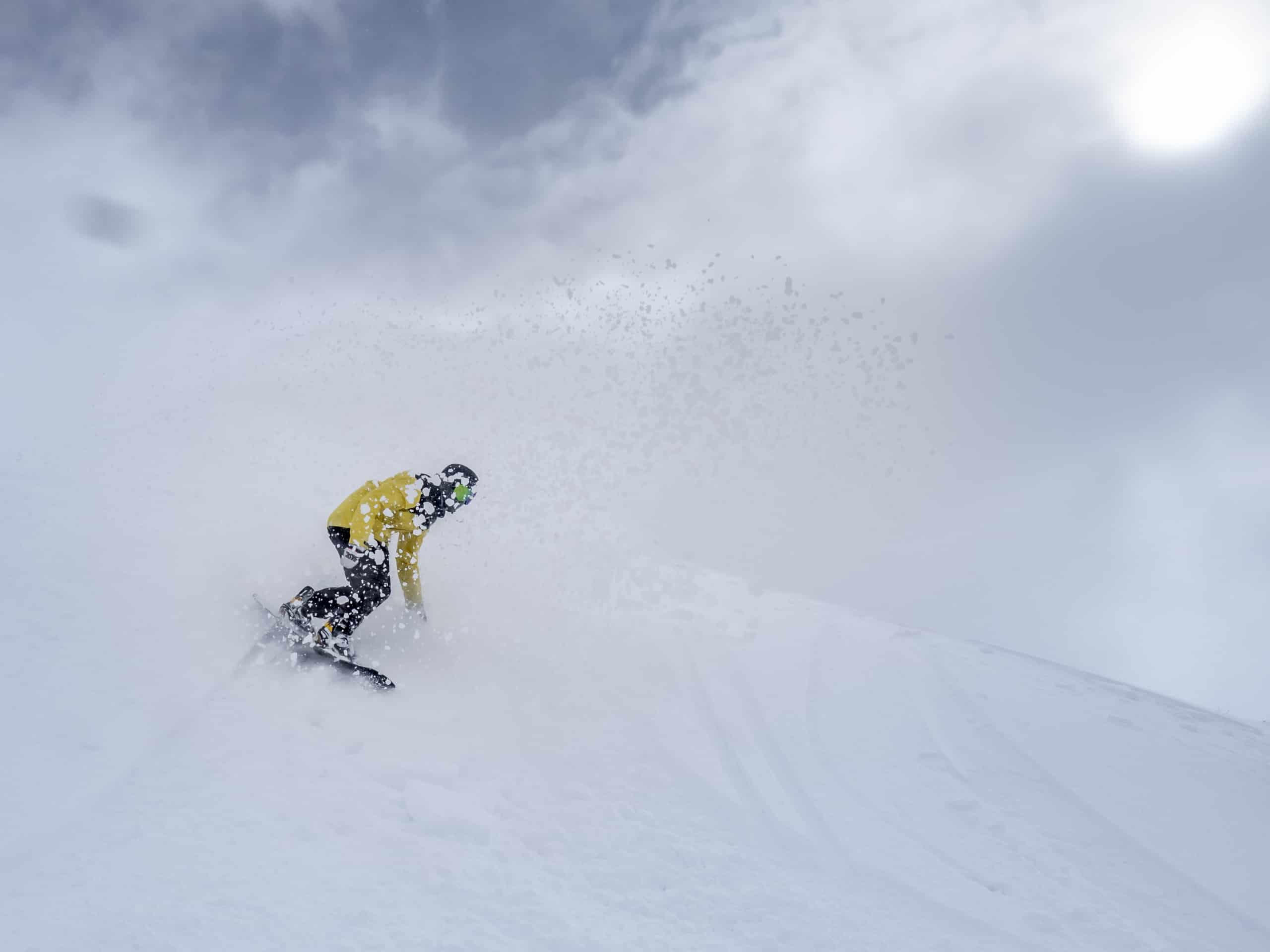
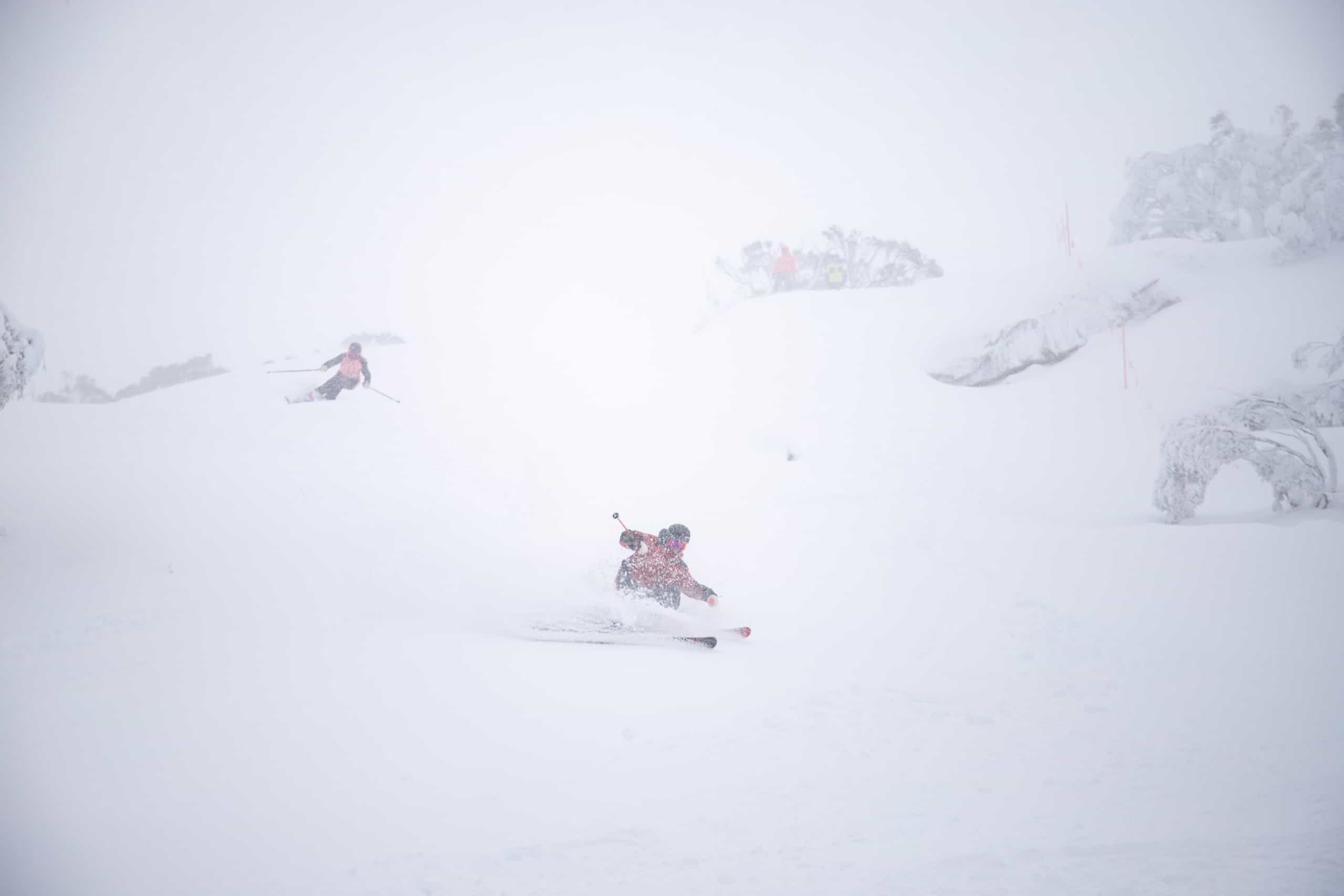
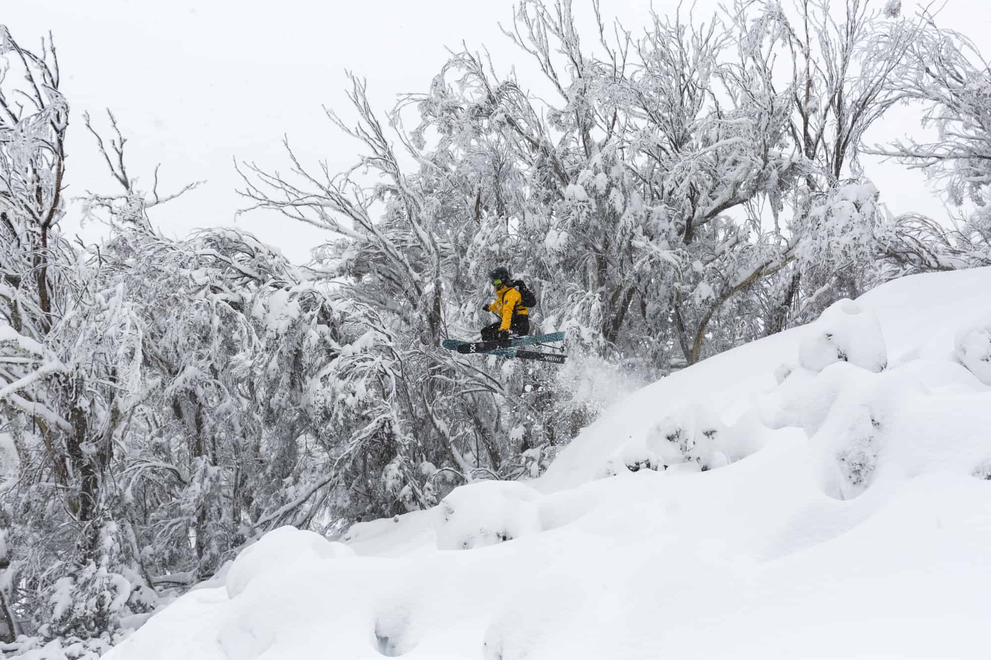
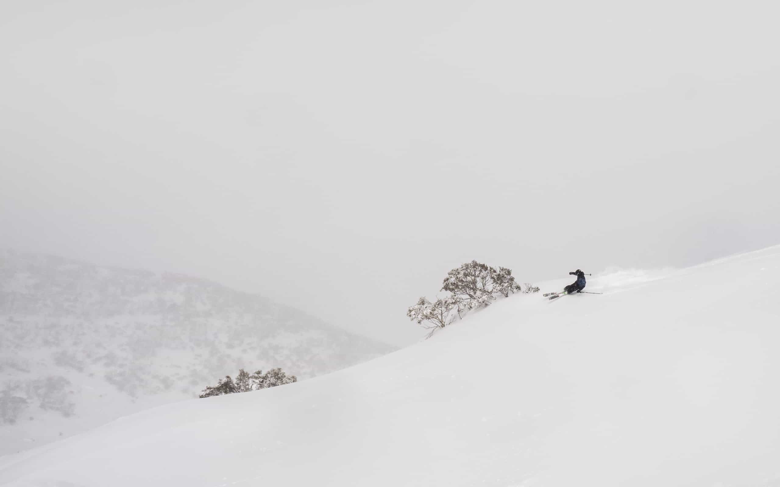
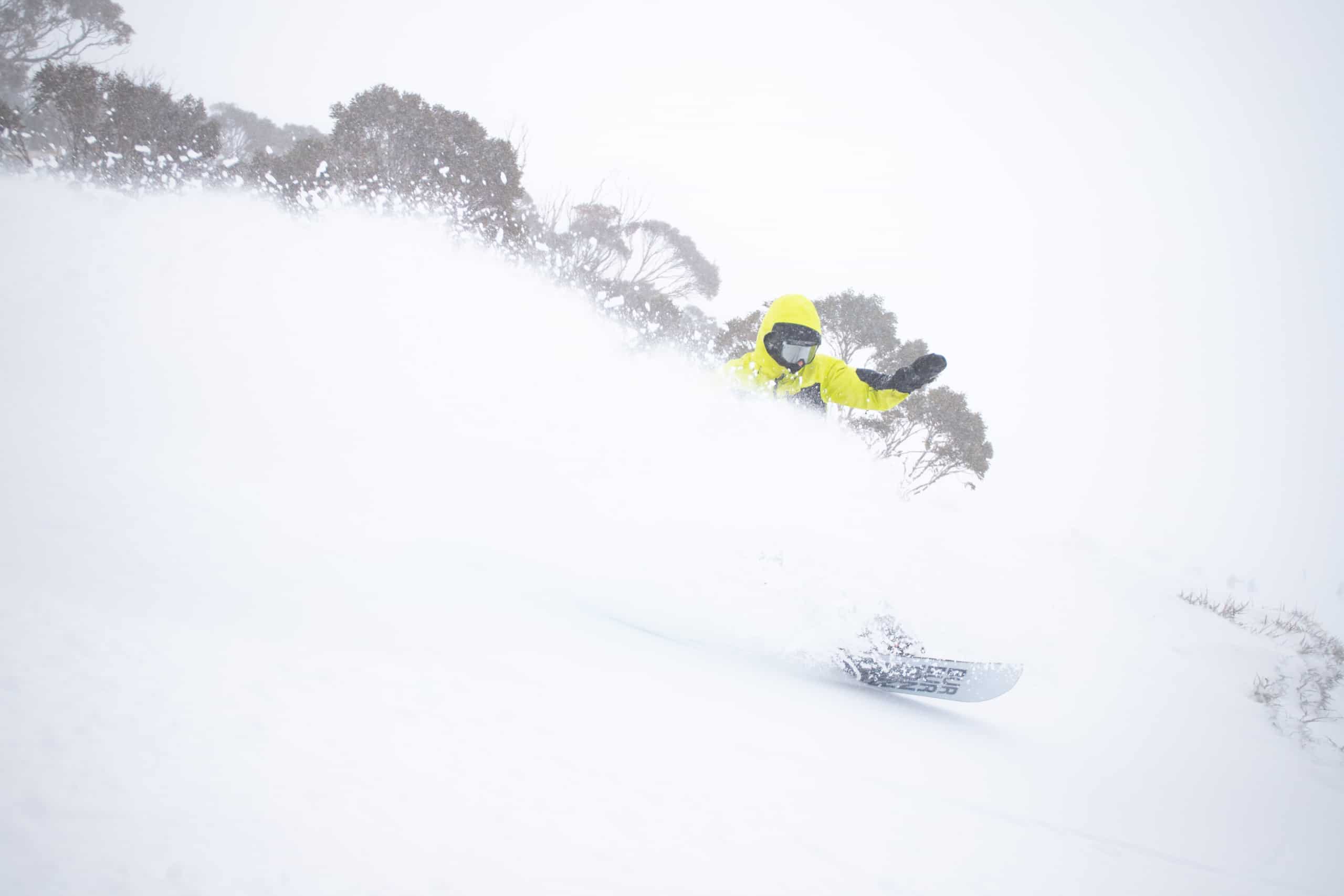
Below are just a few of the images taken around the resorts over the past few days: