Storm Journal, July 17-19 – Powder Days After Weekend Storm Drops 30-40cms
Mountainwatch | Reggae Elliss
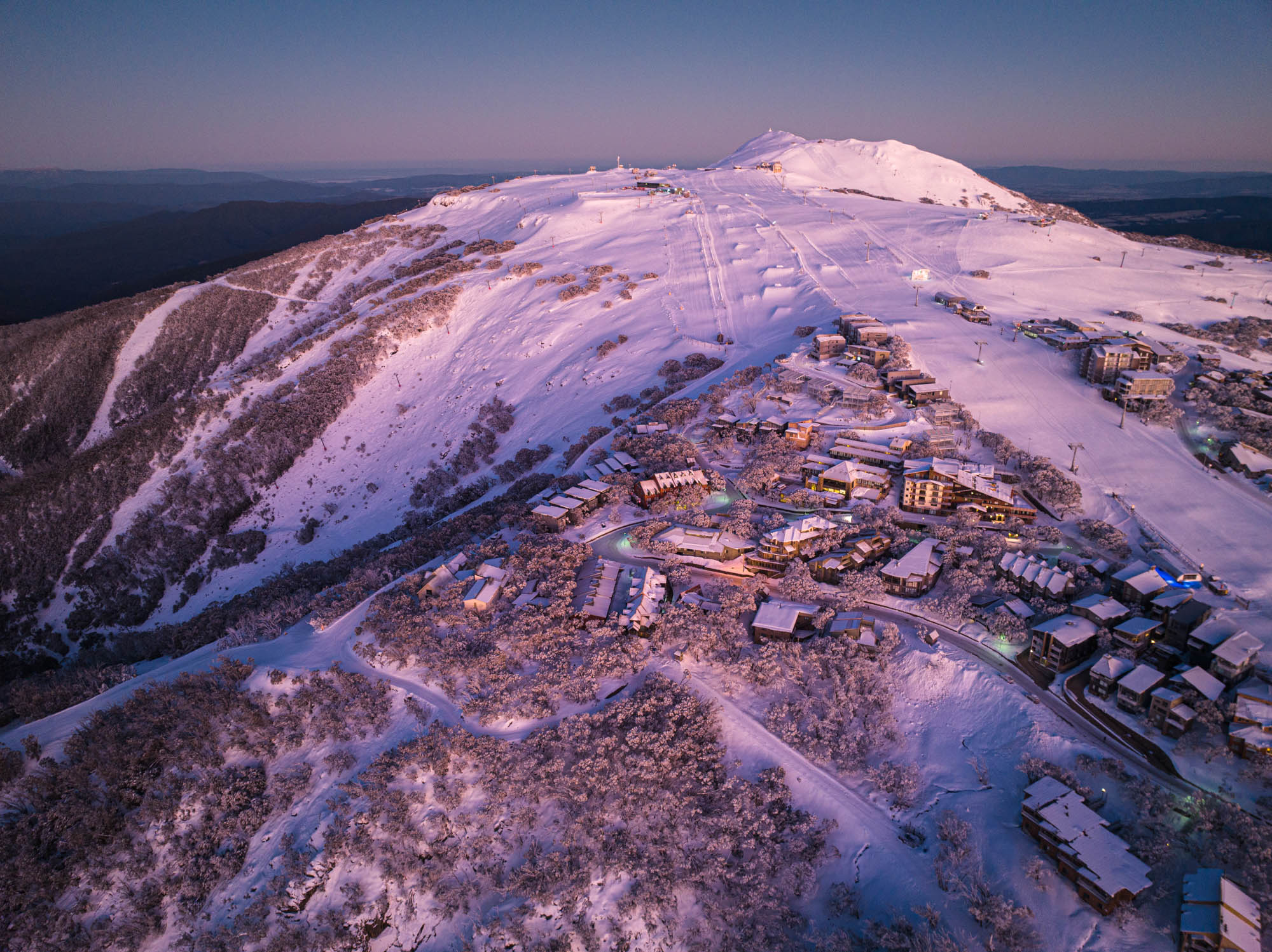
It has been a long wait in between storms, but we finally had a good snowfall on the weekend, the first “real” storm across the mountains since the first week of June although Mt Baw Baw received 30cms from a sneaky system last Tuesday.
The Grasshopper had been talking about a cold front and potential snow for a week or so, but in the lead up to last weekend the various forecast models were all over the place on the approaching cold front’s strength and possible snow totals. However, things started to line up last Thursday, the Grasshopper writing in his weekend forecast that:
“Snow will fall from Saturday night through Sunday before the front passes overhead Sunday night. Snow should fall to low levels, but it may get a little wet and slushy on lower slopes for a time Sunday afternoon as temps creep up for a time. Waking up on Monday we should see about 15-30cm of new snow from this system!”
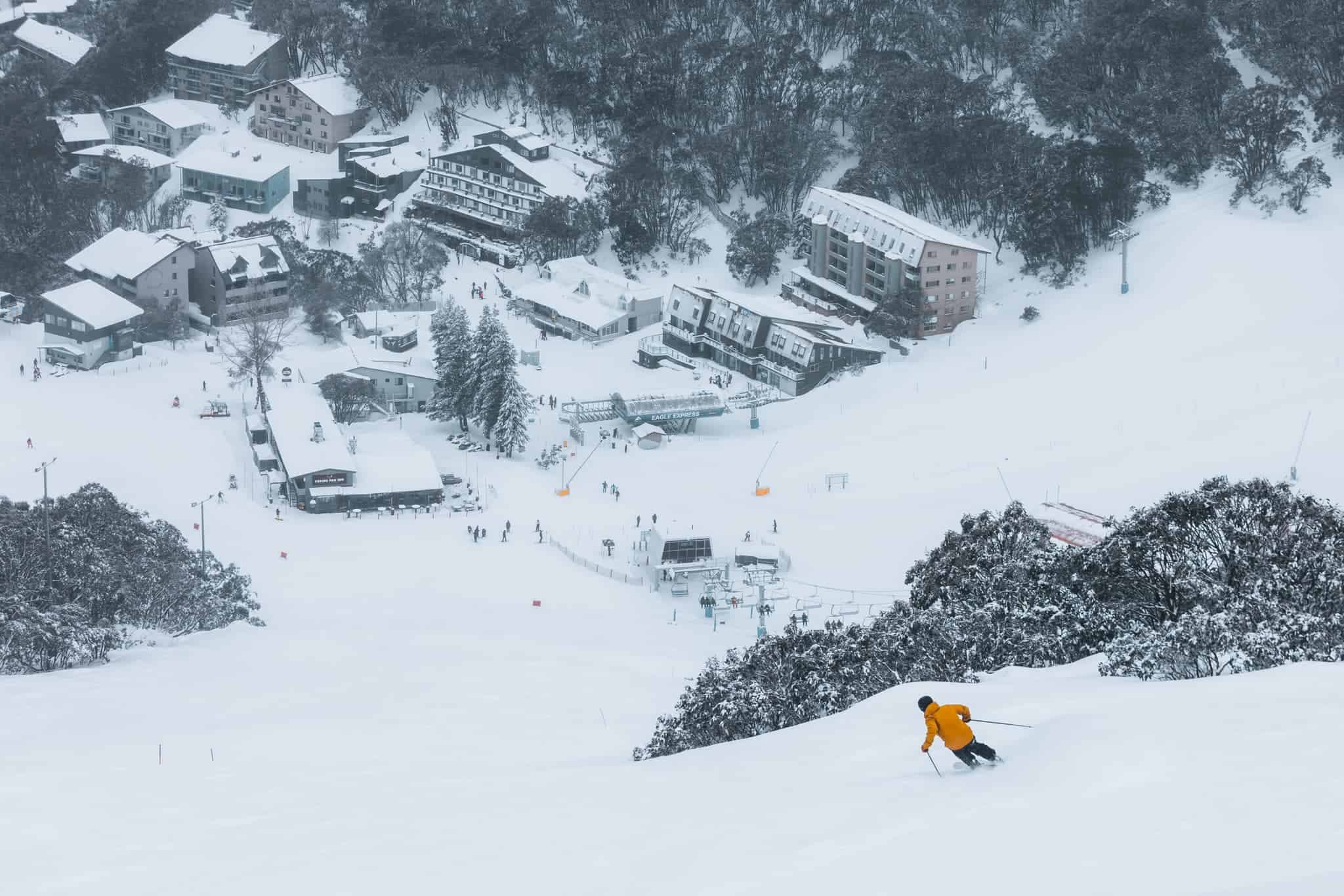
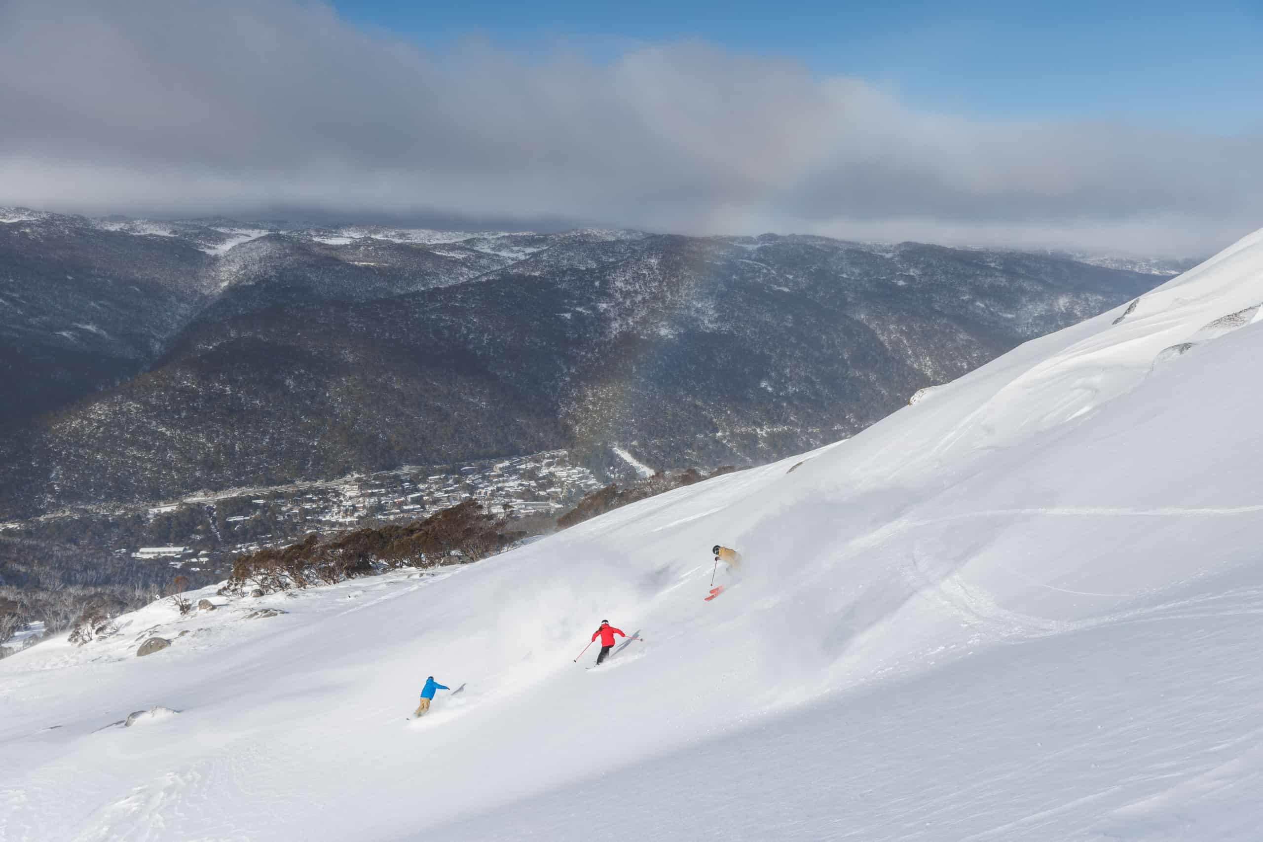
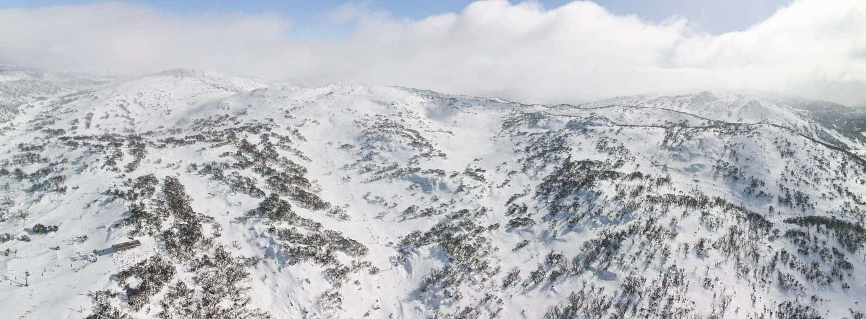
As it turned out the major resorts saw 15-47cms, Buller reporting the lowest total with 14cms of wet snow on Sunday while falls topped the count with 47cms by the time a few lingering snow showers cleared yesterday morning. Hotham, Charlotte Pass, Thredbo and Perisher locked in around 30cms with deeper wind-drifts.
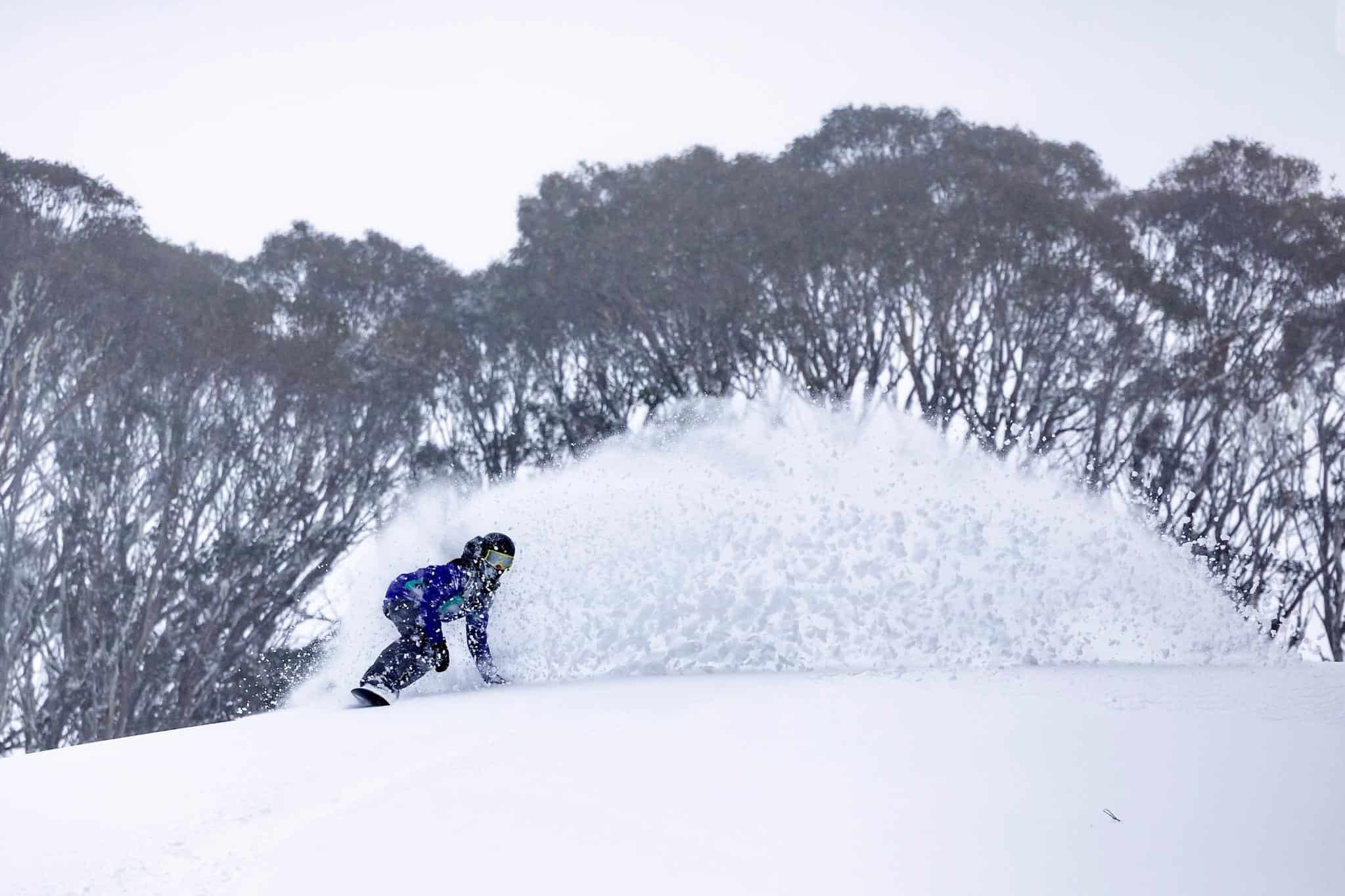
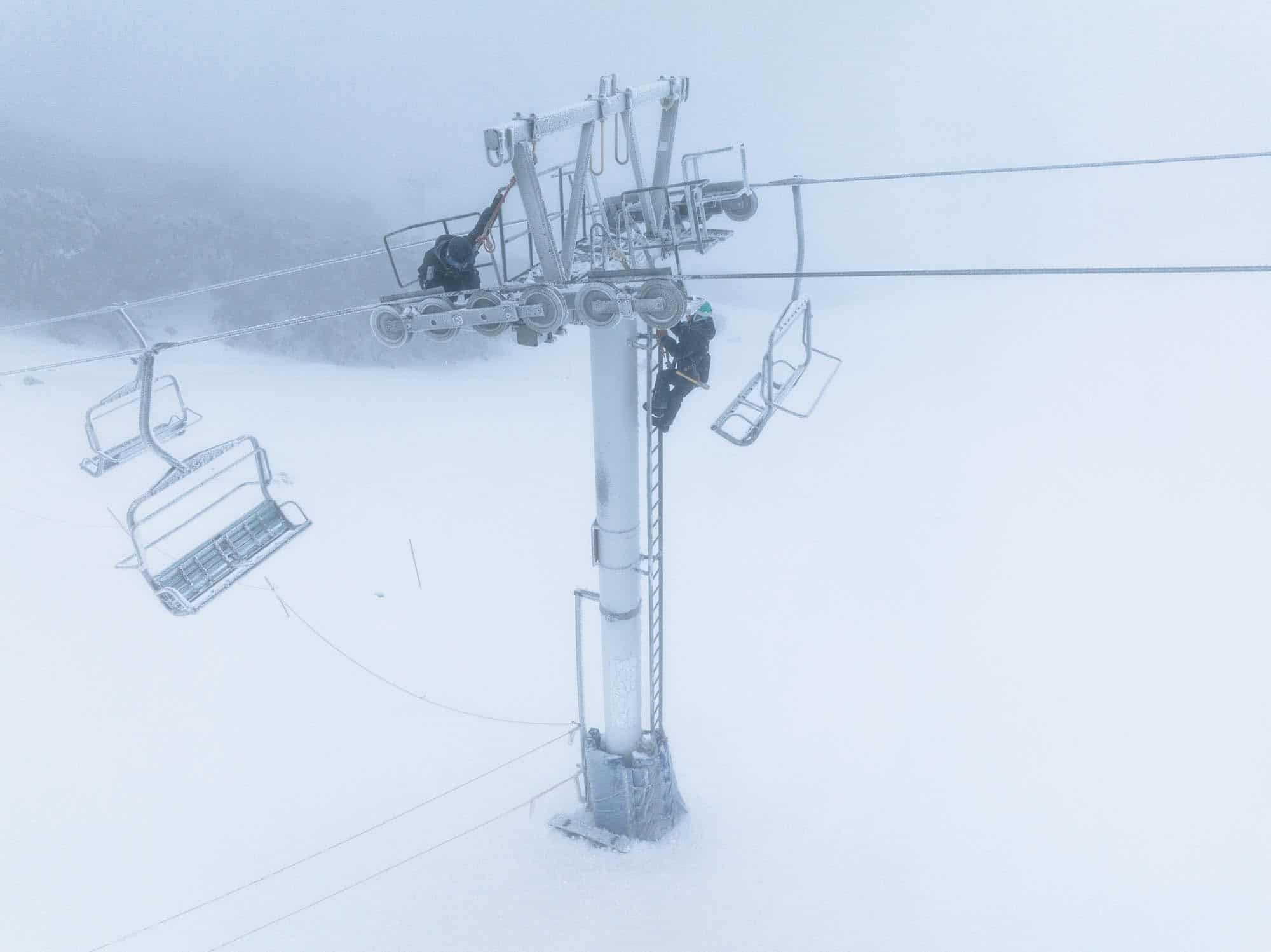
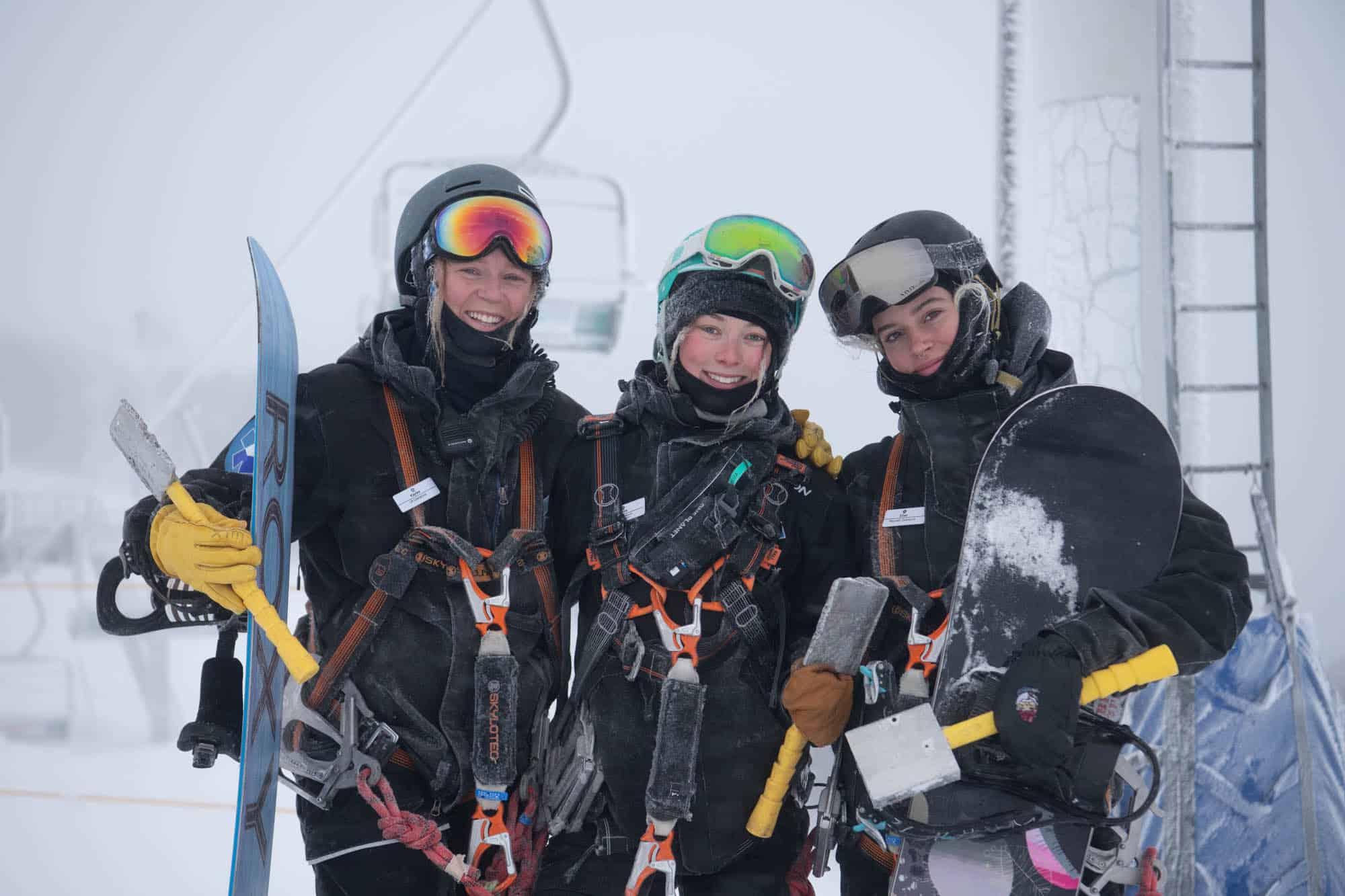
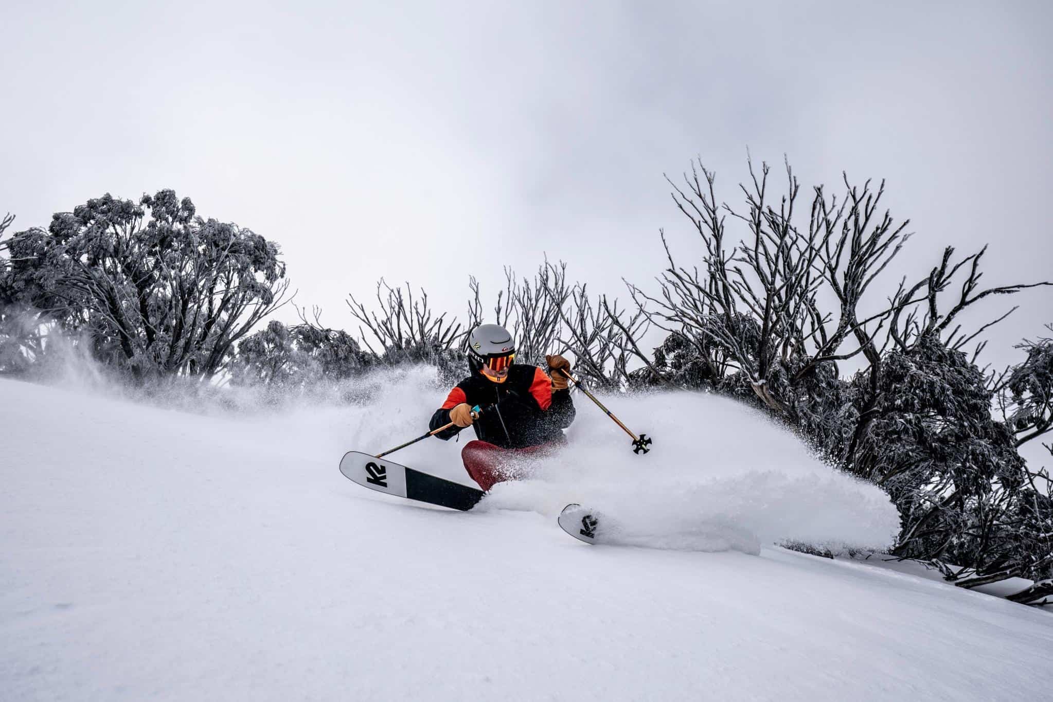
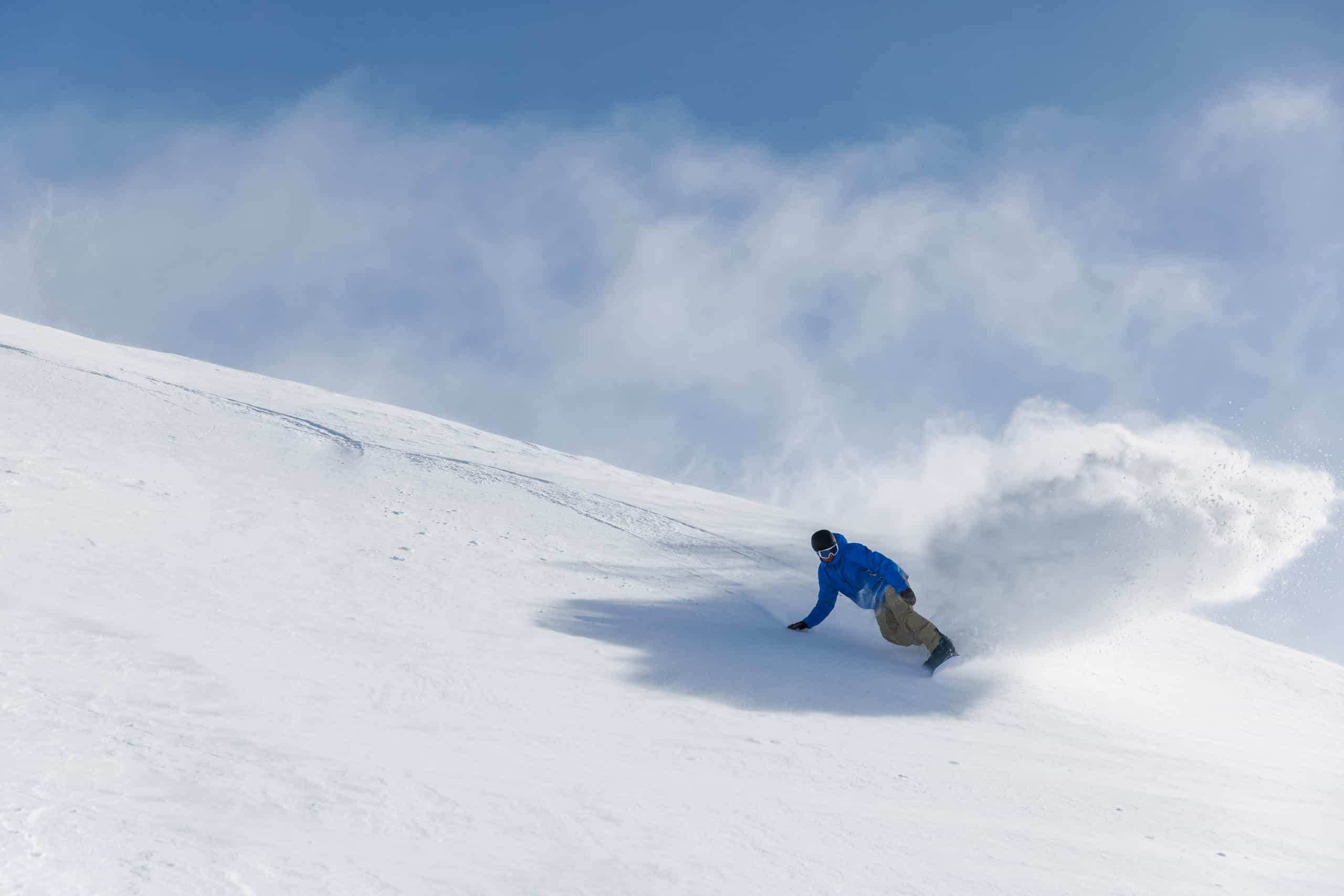
The cold front crossed the mountains as forecast on Saturday night, leaving 5-15cms on Sunday morning and snow continued to fall throughout the day. The wind was strong out of the WNW with blizzard conditions at times on Sunday, but the rewards were there for those who braved the wind and poor visibility with constant refills and fresh tracks for most of the day. Here in Thredbo it was the best day since the Saturday on the opening weekend.
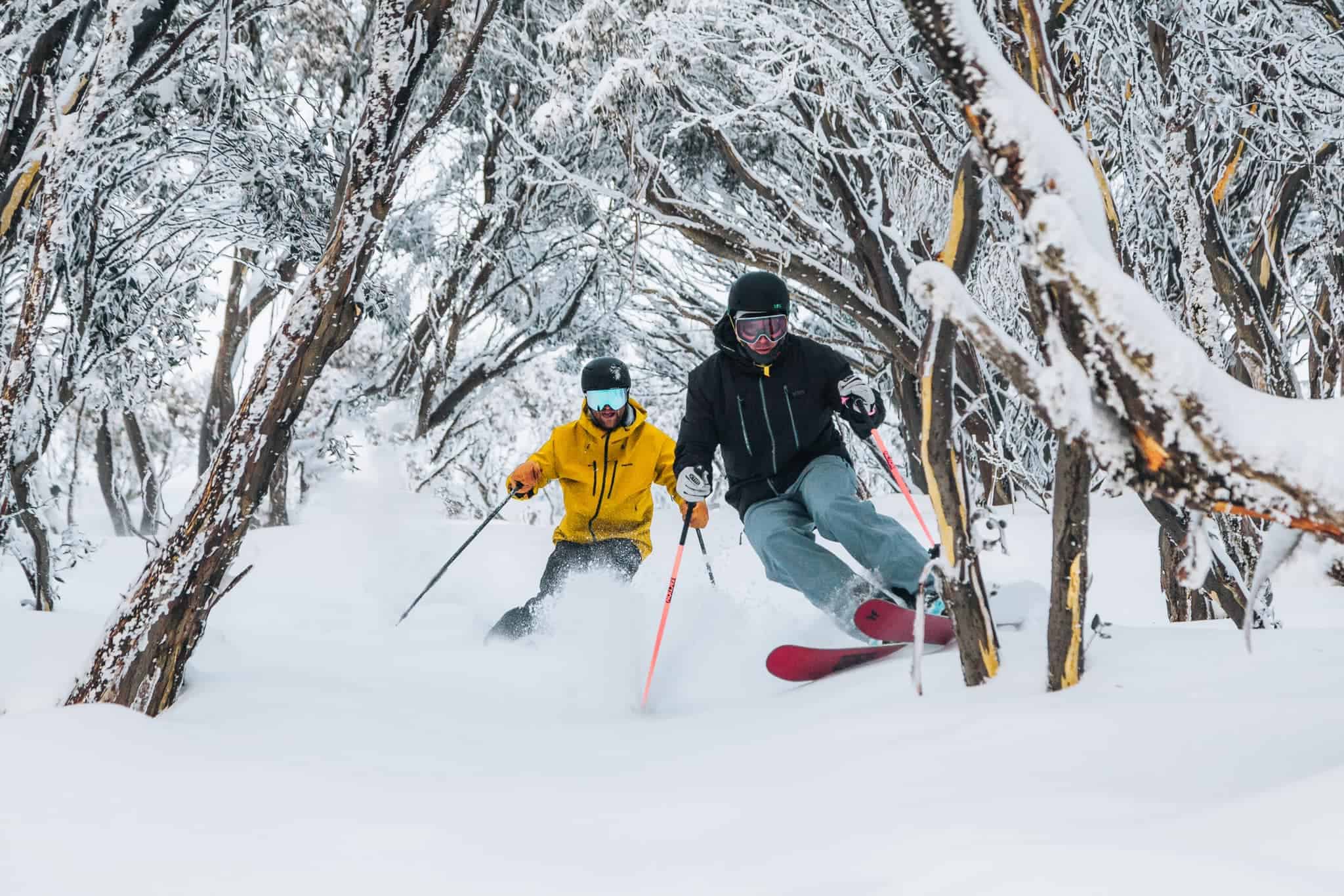
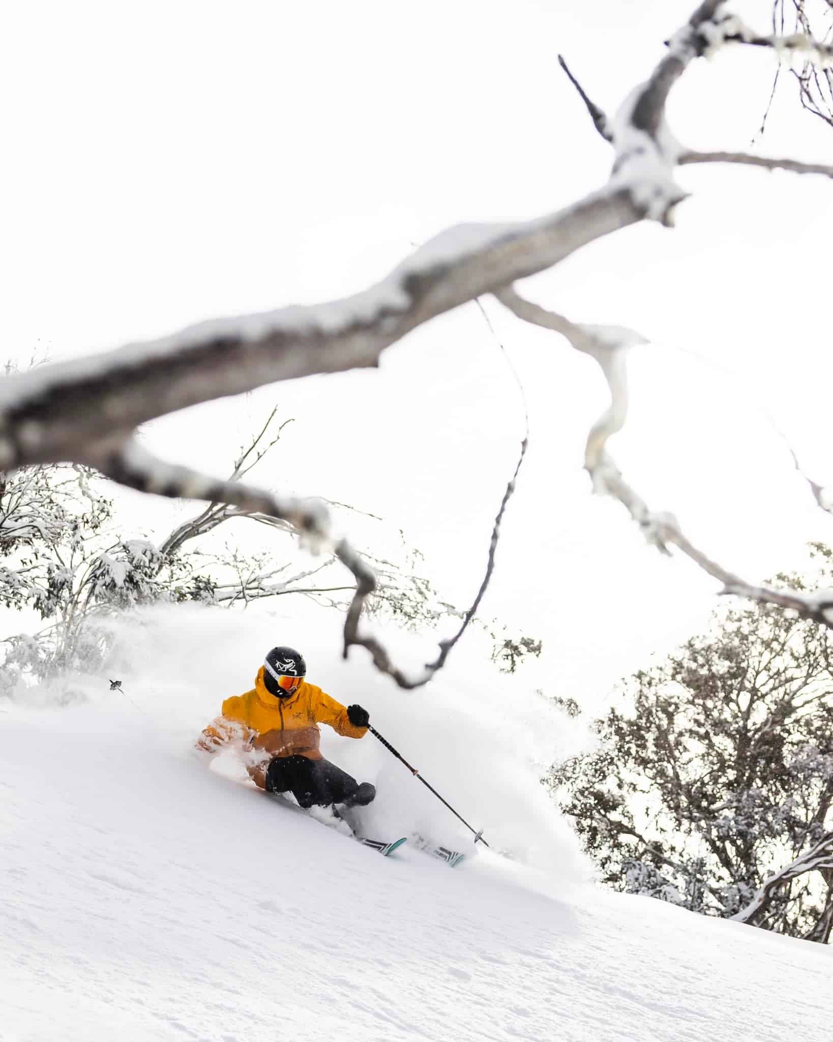
Another 10-20cms fell across the resorts by Monday morning, although Buller missed out, picking up only a dusting overnight. Again, Falls Creek did the best, reporting the 20cms on top of the 21cms it received on Saturday night. While yesterday’s snow wasn’t as deep or light as it was on Sunday and wind-packed it some areas, another day of cold winter snow and great skiing on and off piste.
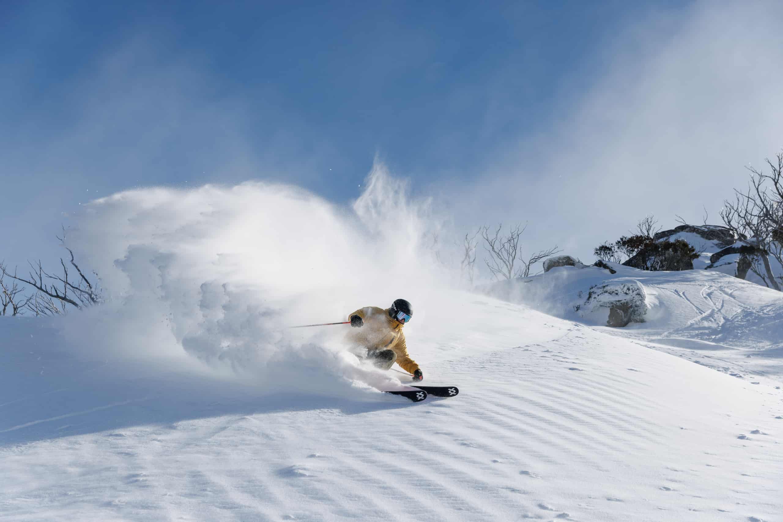
The temps dropped to -7 last night, keeping the snowmakers busy in all resorts, and while we won’t be seeing any more snow this week, the cold temps will keep the snow pack in great shape while we wait for the next storm. To find out when that will be check out the Grasshopper’s forecasts and our daily independent snow reports for the latest conditions.