Australian Weekend Forecast, July 15 – A Ripsnorter Today, Sunday’s Blizzard To Drop 15-30cm!
Mountainwatch | The Grasshopper
Valid Friday 15thJuly to Sunday 17thJuly
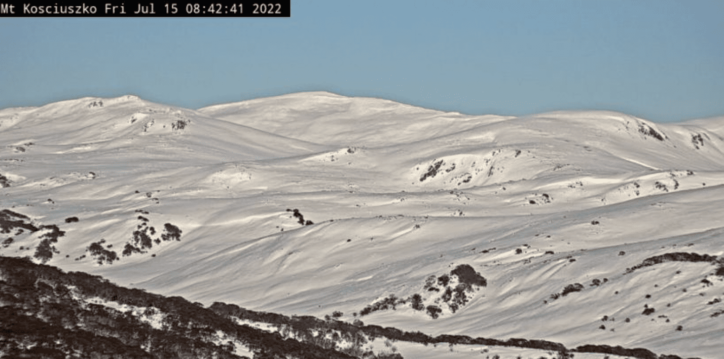
High pressure has served up a ripsnorter of a day today, it’s nice and chilly and the snowguns have had a great night.
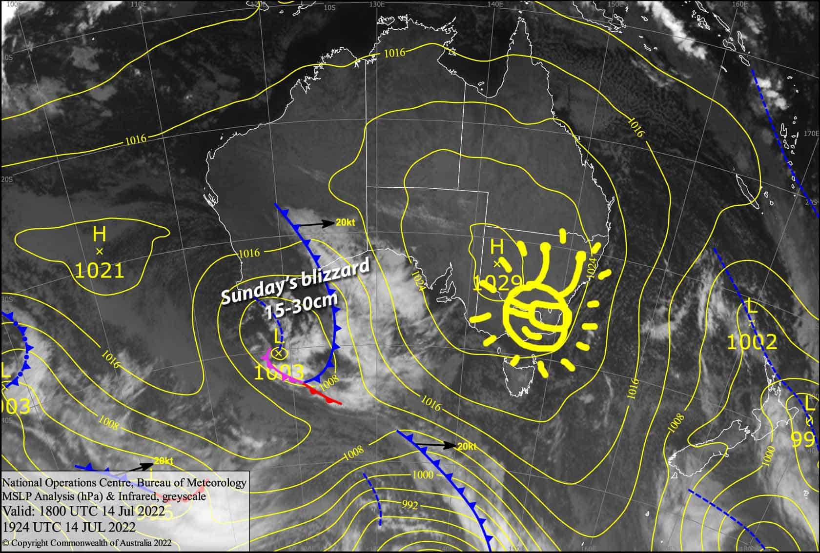
Clouds move in Saturday and NW winds get wild as a cold front approaches from the west. Snow will fall from Saturday night through Sunday before the front passes overhead Sunday night. Snow should fall to low levels, but it may get a little wet and slushy on lower slopes for a time Sunday afternoon as temps creep up for a time. Waking up on Monday we should see about 15-30cm of new snow from this system!
Friday 15th
A ripsnorter of a day, just a bit of cloud building over Victorian resorts later this arvo. Light SW breezes gradually turning to the NW.
Saturday 16th
A fairly cloudy day, but there’ll be some sunshine to be had during breaks in the cloud, especially during the afternoon. Snowfall will get underway at night, falling to around 1300m. NW winds getting wild, rising to 70-90km/h in exposed places.
Sunday 17th
Snow day! It’ll fall fairly consistently through the day, with snow levels down to as low as 1100m during the morning, but rising to 1400-1500m for a time during the afternoon. Snow levels at Baw Baw are likely to be a bit higher. NW winds will be honking again, getting up around 70-90km/h in exposed places, but backs off a touch late in the day. Blizzard conditions and low visibility so be careful!
Extended Forecast
Snow eases to the odd flurry early Monday as winds swing to the south, although it’ll fall more consistently over Baw Baw. Temperatures will plummet as a freezing polar airmass pushes up from the south, making for great snowmaking conditions over the following few days, with a few natural light flurries also possible Tuesday and Wednesday.
Potential snowfalls next weekend now look to be delayed until the final week of July. Early signs look promising!
That’s all from me today folks, get out there and make the most of these great conditions. I’m sending out these forecasts every Monday, Wednesday and Friday.
Grasshopper


