Weekly Japan Forecast, December 21st – Snow Totals Rack-up As Two Fronts Hang Around
Mountainwatch | The Grasshopper
Written Thursday 21st December (Japan Standard Time)
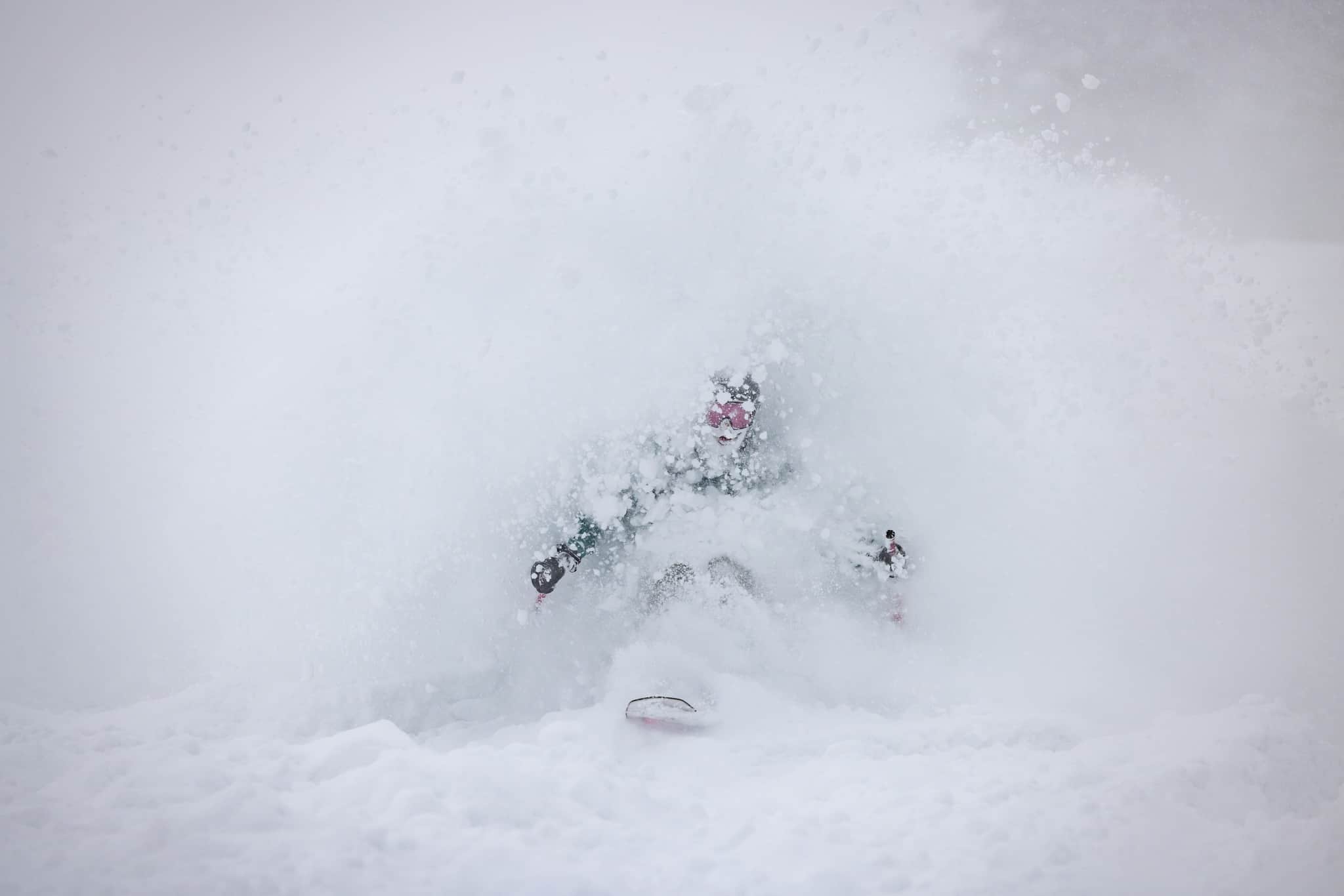
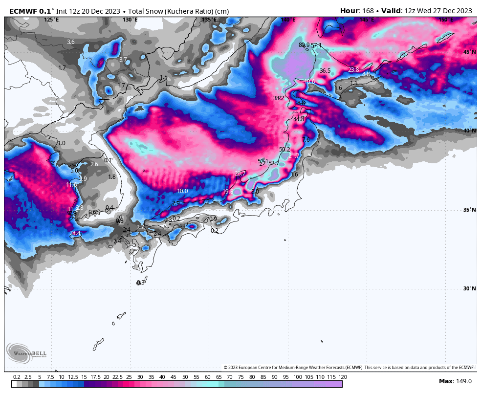
The coming seven-day period could be broken into two (I’ve broken it into three!). The first period, today through to Sunday, will see a pair of slow-moving frontal features bring the bulk of the week’s snowfall. Central Honshu, southern North Honshu and coastal Hokkaido in particular will pick up heavy loads of Japow.
After some Christmas sunshine, the second period will see a couple of quick-moving weather systems bring a couple of healthy top-ups to round out this week’s snowlights reel out to next Wednesday.
Thursday Dec 21st & Friday Dec 22nd
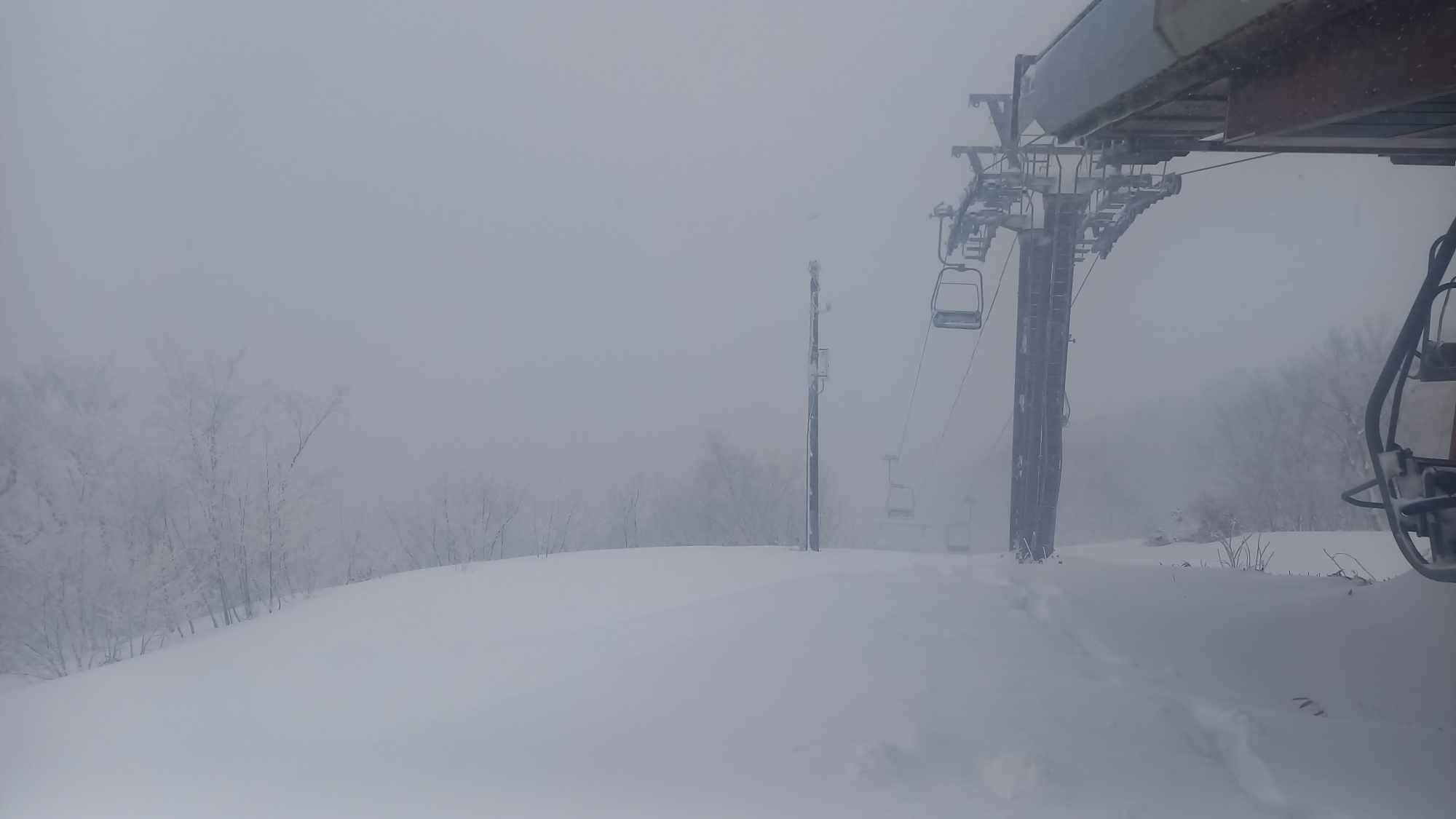
Today and Friday will see light-moderate snowfall across Japan. The heaviest falls will actually lie just offshore in the Sea of Japan, as a pair of frontal features dilly-dally just west of central Honshu and Hokkaido where winds will primarily be from the southwest, rather than directly onshore from the northwest.
Still, consistency will pay off and accumulations will be significant for Central Honshu, southern North Honshu, and coastal Hokkaido. Snowfalls there will fluctuate between light and moderate as the fronts flirt and tease with the coastline. Too far from the action, interior Hokkaido will only see a light dusting at some point Friday.
Saturday Dec 23rd & Sunday Dec 24th
Saturday will bring a burst of snowfall across Japan, as the pair of fronts finally pass over the country. Winds turn northwest allowing snowfall to penetrate further inland. Snowfall should be particularly heavy in the wee hours before daybreak over Central Honshu.
Sunday, snow showers continue to fall here and there over northern Honshu with slightly more consistent falls over Hokkaido. Central Honshu should see some sunshine before snow showers return at night.
Monday Dec 25th to Wednesday Dec 27th
Monday, will bring precious Christmas sunshine to Japan as remaining snow showers clear early in the day, taking the clouds with them. However, snow will return to Honshu late in the day as the next low-pressure system rapidly approaches.
Tuesday and Wednesday will see all areas picking up a nice top-up or two as the low quickly passes over early Tuesday, followed by a second wave of cold NW winds late Tuesday/early Wednesday, which may primarily benefit northern Honshu and Hokkaido.
Extended Outlook
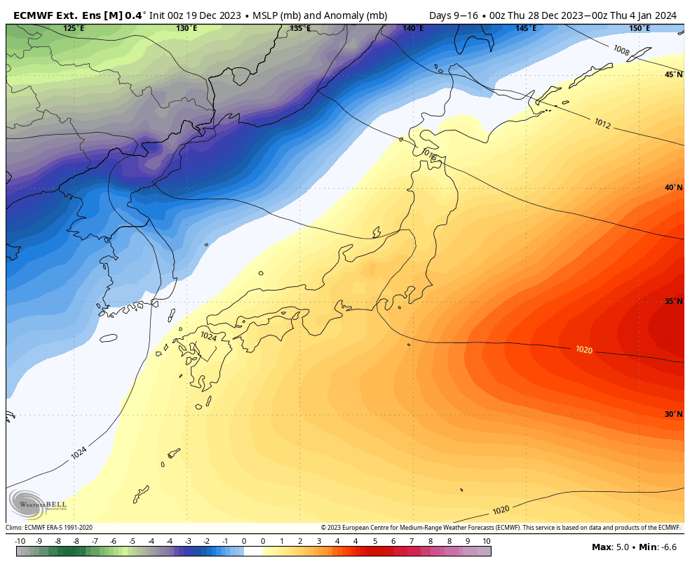
The following week, starting next Thursday 28th, looks to be dominated by an anomalous SW flow, likely culminating in overall mild and drier conditions than average. It may be a week of relatively low snowfall, and there could be brief periods of low-level rainfall too, as fairly weak weather systems affect the country.
That’s all from me today. Have a great week, see you next Thursday.


