Grasshopper’s Weekly Japan Forecast, Thursday Feb 6th – Storm of the Season to Drop Metres of Snow in Central Honshu
Mountainwatch | The Grasshopper
Written Thursday morning, 6th February (Japan Standard Time)
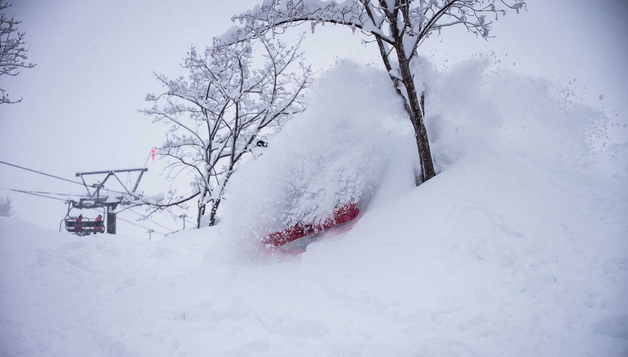
After ending Japanuary with a bang, we’ve started February in a full-on frenzy. Possibly the biggest storm of the season thus far got underway on Tuesday, with reports of well over a metre of powder falling in Central Honshu.
The storm will continue through the weekend, with strong, freezing winds and blizzard conditions, before finally ending on Tuesday, Feb 11th. Central Honshu will continue to be favoured and will rack up around one-to-two metres of high-quality powder (possibly even 3m+ as one model suggest). Resorts in Northern Honshu will also rack up decent numbers but will be about half or a quarter as much in comparison.
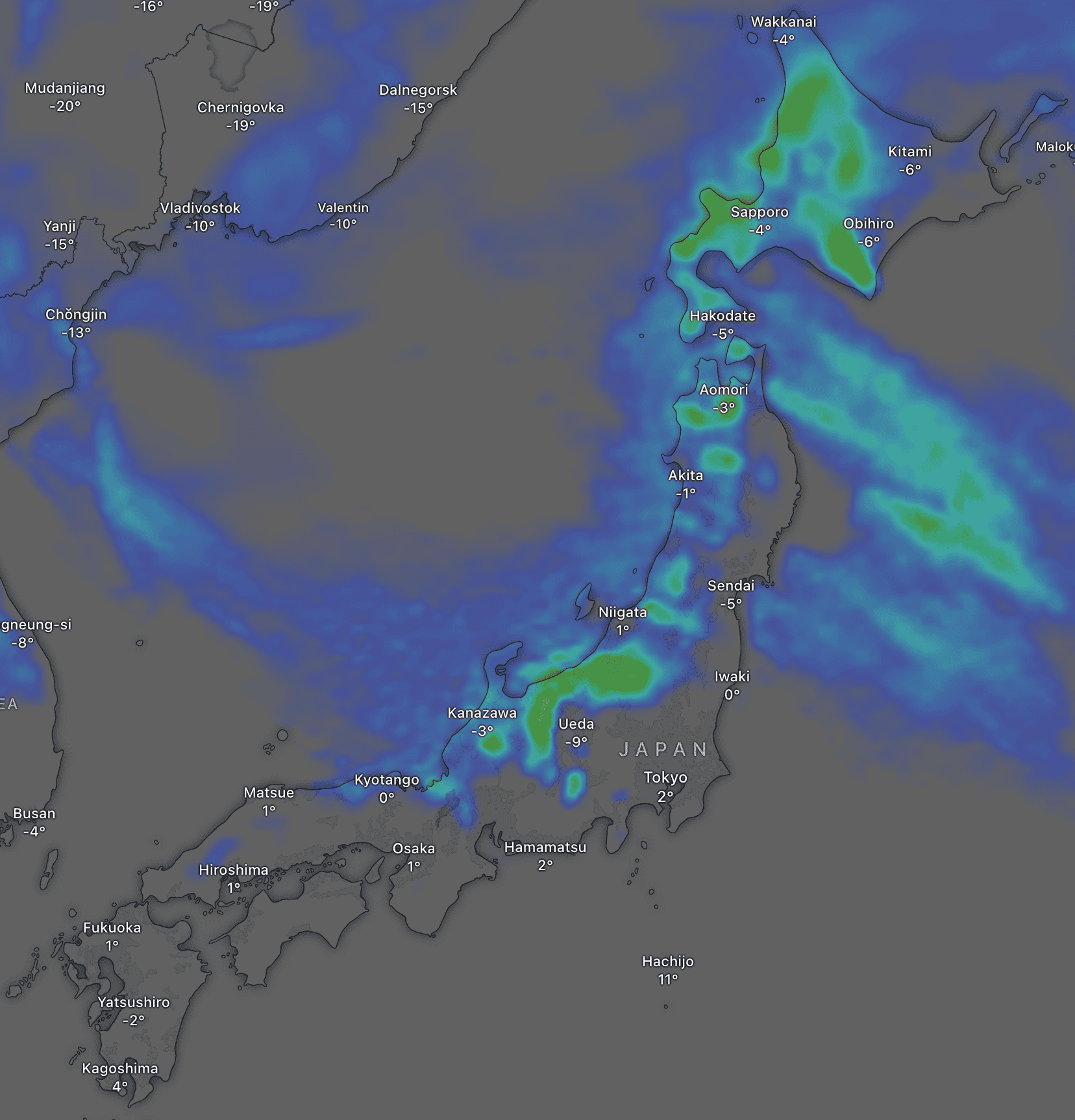
Milder southwesterlies on Wednesday will bring a load of rain and dense, elevated snow before the next cold front hits that night, kicking off the next round of snow.
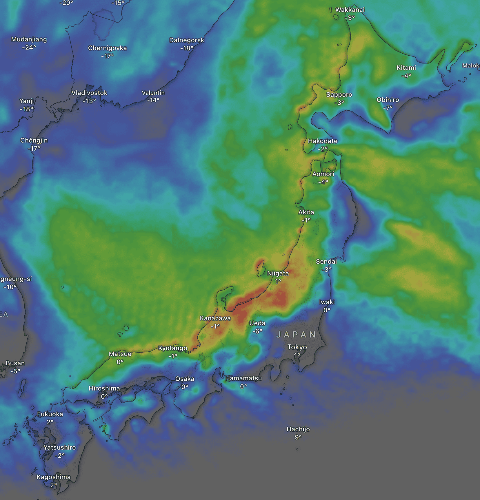
Thursday February 6th to Sunday February 9th
Once again, the forecast starts amidst a full-blown snowstorm, which began Tuesday. And once again, on the radar, I can see broad areas of light-moderate snowfall across the country, with the odd cell of heavy snowfall (10-20+ cm/h).
The storm will continue for several more days and pile an eye-watering amount of snow on Japanese resorts. For these 4 days, Thursday to Sunday, Central Honshu will receive the lion’s share, with accumulations estimated to start around 75cm for the more sheltered areas and well over 2m in the more exposed parts. For Northern Honshu and Hokkaido, accumulation figures are trickier, with the less exposed resorts, such as Furano, likely receiving around 15-30cm while others, such as Niseko and near Sapporo, may receive half a metre or more.
Snowfall rates will fluctuate, favouring some resorts over others at different times, and it’ll even clear for long periods on Hokkaido as westerly winds over the country tilt southwest during Friday before turning northwest for the weekend. There’ll be blizzard conditions, freezing temperatures, and strong winds, particularly on Honshu, so definitely a time to play it safe.
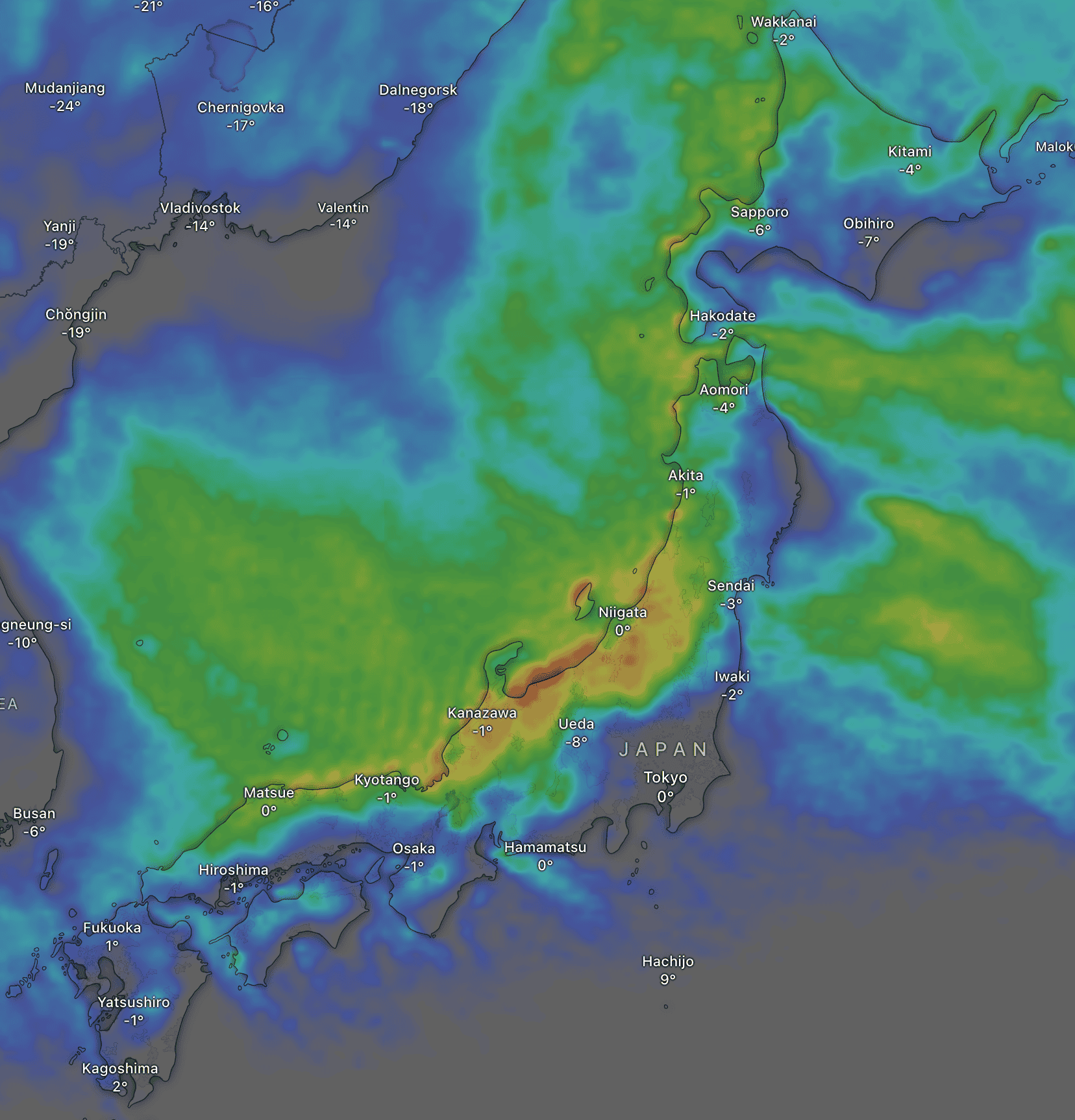
Monday February 10th to Wednesday February 12th
Snow will continue to fall across the country on Monday before eventually clearing on Tuesday as the storm finally comes to an end with higher pressure moving in from the west. During this time, most resorts will receive another light-moderate top-up of powder, although northern parts of central Honshu are earmarked to receive significantly more due to favourable winds.
On Wednesday, mild southwesterlies spread over the country, bringing heavy rain and dense snowfall to elevated levels. Fortunately, a cold front is expected to hit the country Wednesday night and kick off the next round of powder.
That’s all from me today, folks. Have a great week, and I’ll see you here next Thursday for another weekly rundown of Japan’s highlights and snowlights.
Grasshopper


