World Snow Wrap, November 29 – Metres of snow in California, Europe’s Great Early Start Continues, A Wintry Week Ahead In Japan, Snow On The Way For Canada.
Mountainwatch | Reggae Elliss
Most of the action has swung to the US this week with big snowfalls in the Sierras and the Rockies and a lot more to come. The snow doesn’t want to let up in Europe with more on the way this weekend while consistent snow looks likely next week for Hokkaido. There’s also a chance Whistler could see its first real winter storm next week.
USA
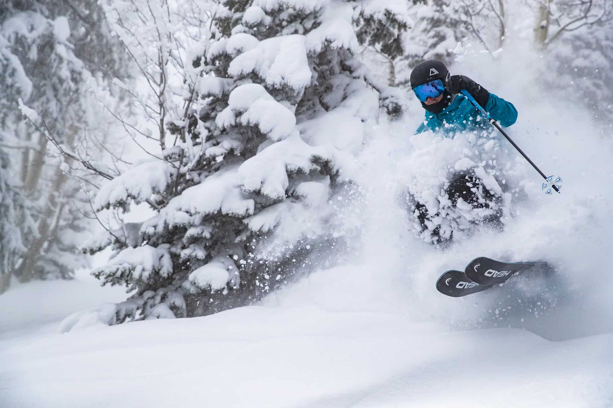
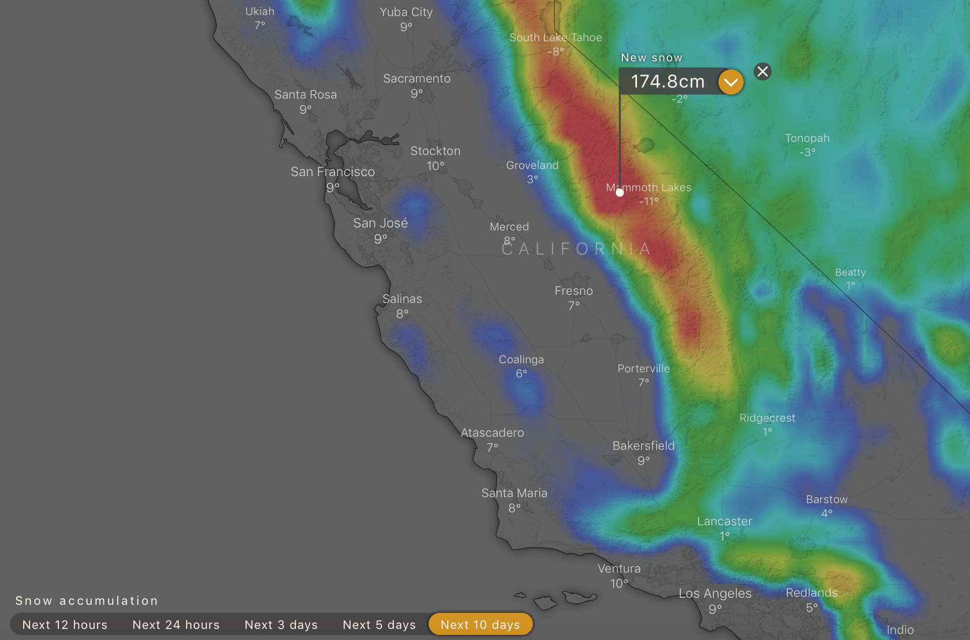
The last two weeks of November have turned on plenty of snow with some great powder turns in the open resorts in Colorado last weekend followed by more snow on Tuesday. The southern Rockies did best with Telluride reporting 25cms and there is more on the way, southern Colorado in line for 30 to 60cms over the next 24 hours. However, the big snow news is California where the Sierra’s are getting hammered, the Tahoe resorts receiving 30 to 90cms and the snow level was low with up to 50cms at lake level. Further south, Mammoth Mountain also saw big totals with 90cms over 48 hours.
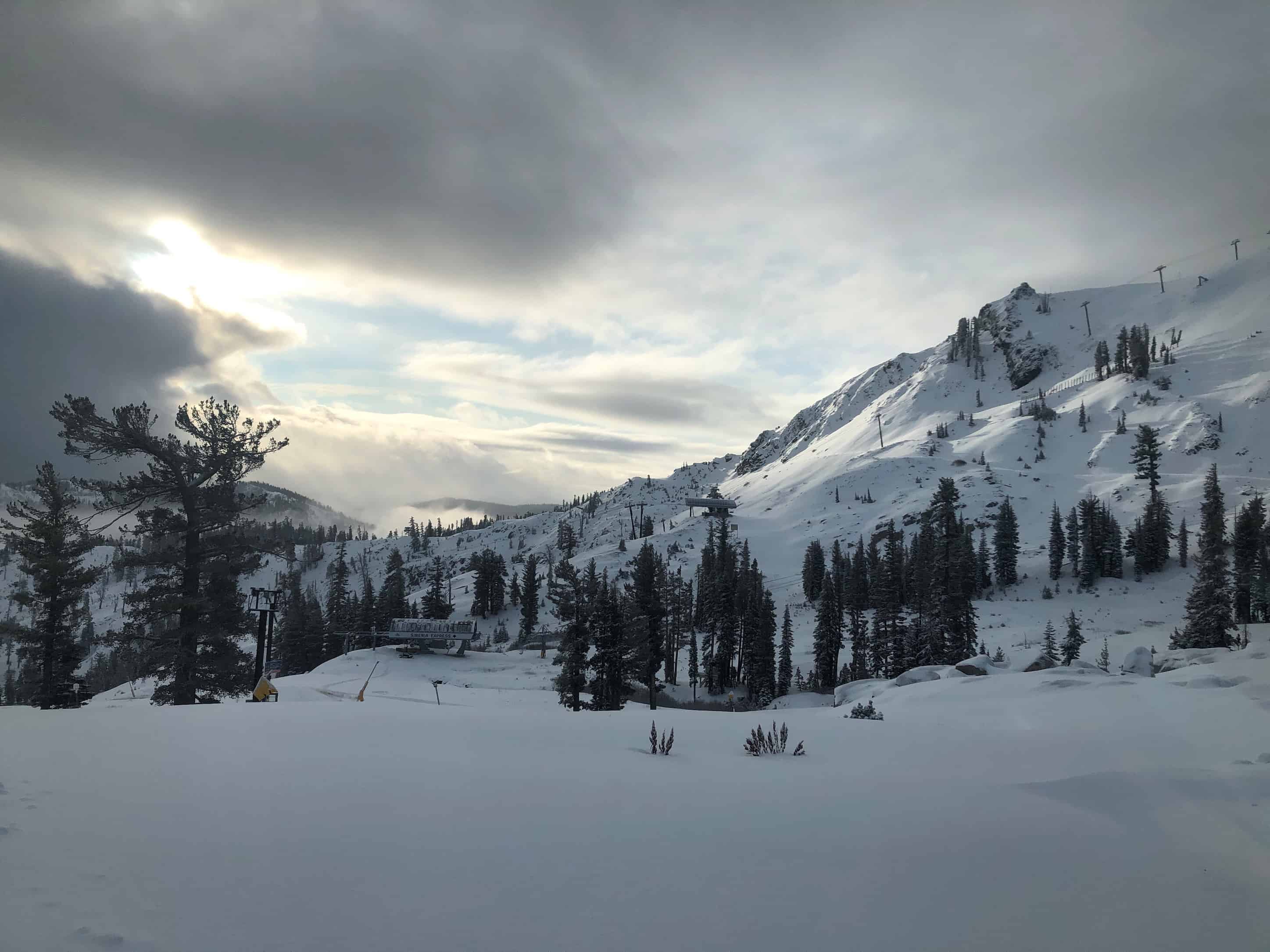
Another storm is due on Sunday for the Sierras with forecast totals of another 90cms on the mountains around Lake Tahoe by Monday, Kirkwood topping the five-day forecast with 1.5 metres possible, while Mammoth could see up another 1.2 metres. This storm will carry warmer air and denser snow, but as there was no snow cover other than snowmaking areas on Tuesday, wet base-building snow is what they need.
Snow also started to fall in Utah yesterday with heavy falls at times as the storm tracked eastward it is looking good for widespread snowfalls over the next few days, with 60 -90cm in the forecast for Park City, Alta and Snowbird. Snow is also on the way for Jackson Hole but lesser amounts, Jackson in line for 35-50cms over the next few days.
CANADA
The cold but dry start continues for much of western Canada with only a few centimetres of snow earlier in the week for Whistler and other British Columbia resorts. Whistler Blackcomb and Big White opened yesterday on limited on-piste terrain and the fine weather pattern looks set to continue for the rest of the week. However, the Mountainwatch models are pointing to a change in weather patterns for BC next week with 30cms forecast for Whistler on December 3-4.
That storm should also drop 10+cms at Big White and other across interior BC resorts while the Banff resorts are in line for 10-15cms mid-week. There is some good news in the North American Season Outlook with the Grasshopper calling for an above average season for Canada.
JAPAN
Another front crossed Hokkaido yesterday and snow is in the forecast for the next week. Furano was reporting 15cm by midday yesterday and the snow kept falling, setting things up for some fun skiing this weekend. Both Furano and Niseko have a few lifts open and the forecast for Niseko is 60cms over the next week which should see more terrain and lifts open by the end of the first week of December.
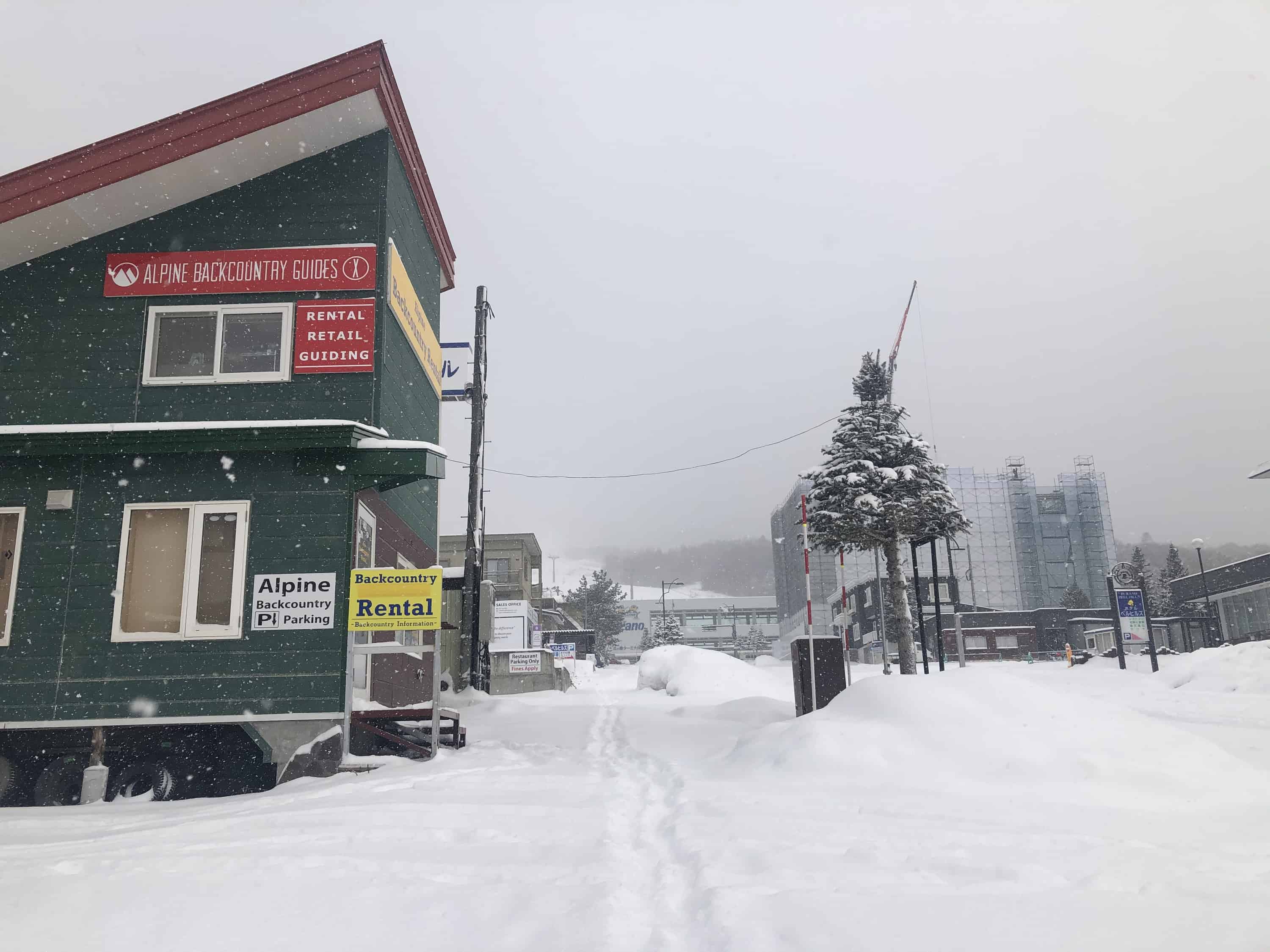
It finally looks like winter in the Honshu resorts, both Myoko and Hakuba receiving a dusting down to base level yesterday, but no lifts are open. Another system is expected to move in early next week and the forecast is 26cms for Hakuba over the next seven days, with heavier snowfalls developing on December 5.
EUROPE
Just when it looked like things were slowing down, this month is wrapping up as one of the snowiest Novembers in parts of the Alps for a few years with more exceptional snowfall totals this past week. The Southern Alps did best, resorts on the French/Italian border reporting up to 1.5 metres earlier this week. Resorts in Austria, Switzerland and France also saw 30-40cms last weekend.
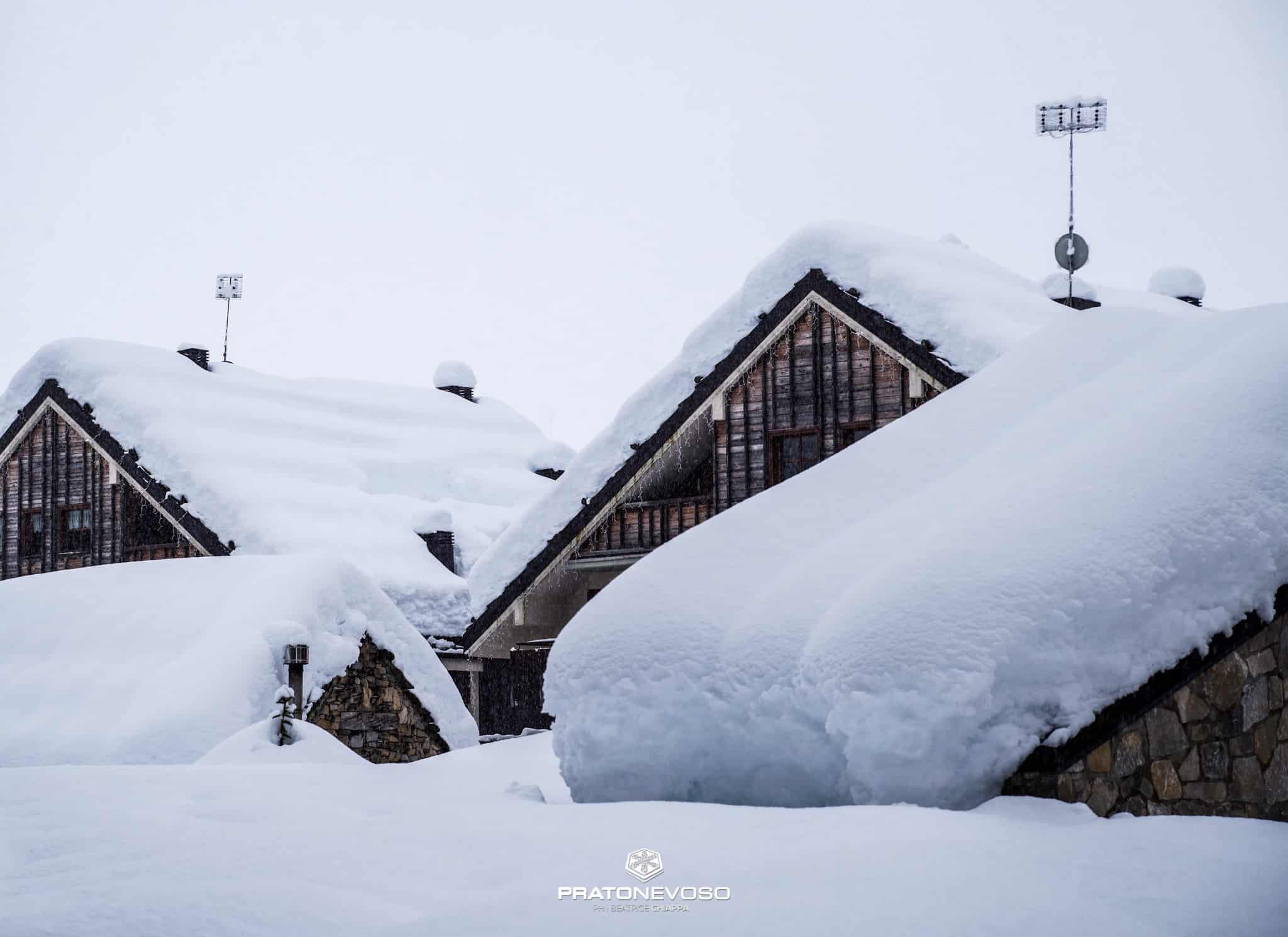
Further south, the Pyrenees received consistent snow which has built bases of up to 150cms and a number of resorts opened last weekend. It looks like November could go out with a bang in Europe, with up to 70cms possible in for the French Alps by the end of the weekend while further east, Switzerland, Austria and the Dolomites are likely to see 20-50cms.
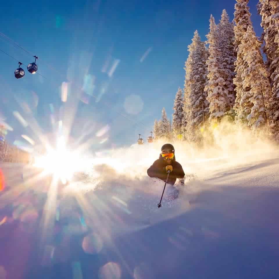
WHERE WE WOULD LIKE TO BE THIS WEEK
Aspen. Great mountain and a great town and there are early season pow turns on offer. There is more snow on the way and it is going to be a great place to be this weekend.