New Zealand Forecast – Powder Keeps Ticking Up as Cold Fronts Keep Rolling In
Published early Friday, 18th September 2026
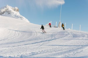
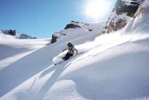
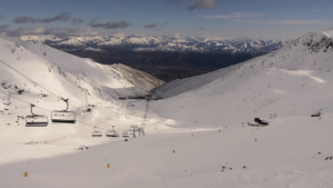
South Island ski fields have scored yet another spring freshen-up, with Wednesday and Thursday’s storm laying down a solid new layer of powder. The storm cleared out of the Southern Lakes early yesterday, revealing 15-20cm of freshies and setting the stage for an epic powder day. Treble Cone came out on top, reporting 7cm at the base up to a juicy 25cm up around the top of the Saddle.
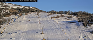
Final storm tallies are still to come from Canterbury, where the flakes kept falling through yesterday, but similar totals are expected. Sadly, it was all a little too late for Porters, which had its final hurrah yesterday after relentless spring nor’westers have chewed away too much of the lower mountain.
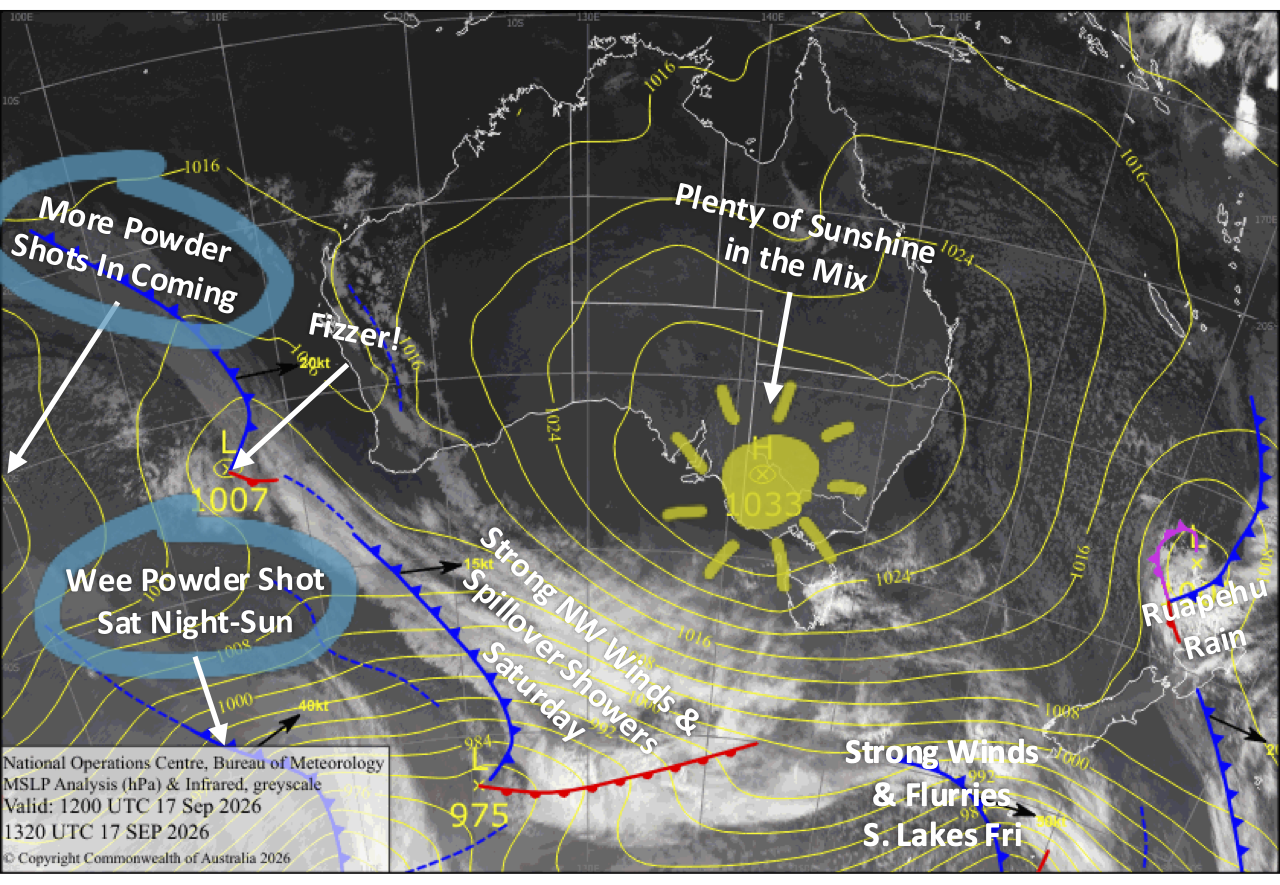
There’s certainly no shortage of action in the days ahead, with spring westerlies continuing to rule the roost and a procession of cold changes keeping the powder tallies ticking up bit by bit. Friday will be the quieter day before gale-force northwesterlies and rain barrel in on Saturday, followed by a sharp southwest change after dark that’ll dish up another wee 2-6cm top-up for the Southern Lakes.
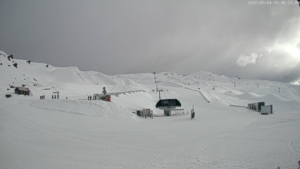
Sunday then shapes up nicely as skies clear across the South Island, while Mt Ruapehu finally gets its turn at the powder trough with a handy 5-15cm. But the breather won’t last long. Northwesterlies crank up and absolutely howl again on Monday before another cold change delivers 2-6cm overnight, with yet another 5-15cm possible across South Island ski fields through Tuesday, and then Mt Ruapehu on Wednesday.
Friday 18th September
Westerly winds will be strong in exposed areas of the Southern Lakes, with mostly cloudy skies and a few snow flurries possible in the south.
Canterbury will be nicer with just a little high cloud and light west-to-northwest breezes.
A fine start for Mt Ruapehu with light winds, but a low-pressure system rolling over the top of the country will bring rain from late morning through the afternoon.
Saturday 19th September
Northwesterlies crank up over the South Island before dawn as a front pushes in from the west, reaching gale force in exposed areas, especially in Canterbury where lift operations will likely be affected. At the same time, rain develops along the Main Divide, with light showers spilling further east to the ski fields, although Mt Hutt will likely stay dry with just high cloud overhead.
Then, after dark, a strong, cold southwest change will rip through, giving the Southern Lakes a wee 2-6cm top-up and just a skiff on those Canterbury ski fields near the Main Divide, while Mt Hutt misses out.
Another nice start for Mt Ruapehu, but it also won’t last as strengthening westerlies bring rain showers from late morning, which will hang around for the rest of the day.
Sunday 20th September
A chilly, blustery start for the South Island as strong southwesterlies gradually ease and swing west. Any lingering snow showers over the Southern Lakes clear early, with the cloud peeling away through the afternoon for a mint end to the day. Canterbury gets the better end of the deal, with plenty of sunshine and just a little cloud drifting through.
Rain on Mt Ruapehu turns to snow before dawn as cold southwesterlies arrive, delivering a fresh 5-15cm top-up before skies clear later in the afternoon.
Monday 21st September
The Southern Lakes pick up a cheeky skiff of snow before dawn as a weak front slips through. The weather then cranks up as northwesterlies strengthen across the South Island, absolutely howling by late afternoon, especially in Canterbury, while spillover rain pushes across the Main Divide, although Mt Hutt will stay dry again.
Yet another short, sharp cold change rips through after dark, delivering a fresh 2-6cm shot of powder to both the Southern Lakes and Canterbury ski fields.
Mt Ruapehu will be nice and clear up high, but brisk southwest winds will bring cloud to the lower slopes.
Tuesday 22nd September
The powder keeps piling up in the Southern Lakes, with snow falling through much of the day as a cold west-to-southwesterly kicks in during the morning.
Canterbury gets a mostly clear start, but northwesterlies crank up once again before a cold change sweeps through in the evening, bringing snow through the night. All up, South Island ski fields could score another handy 5-15cm.
Showers and westerlies build over Mt Ruapehu during the morning before a cold southwest change sweeps through around midday, delivering a wee dusting or small shot of powder. Skies then clear through the afternoon for a much nicer finish to the day.
Extended Forecast
The cold change sweeping over the South Island on Tuesday will reach Mt Ruapehu on Wednesday the 23rd, delivering a similarly handy 5-15cm top-up. The South Island, meanwhile, may see a few lingering snow showers before a ridge of high pressure brings a brief breather on Thursday the 24th.
A run of fairly weak storm systems could then dish up a little more snow for Kiwi ski fields from late next week into early the following week, roughly Friday the 25th through Monday the 28th. Models are still a little iffy on the details, but for now at least, winds aren’t looking too feral, which will be a welcome bonus after the blustery spring we’ve been having.
That’s all from me today, folks. I’m sending out NZ forecasts every Monday, Wednesday and Friday throughout the season. Have a great weekend, and I’ll see you back here on Monday.
Grasshopper