Australian Forecast Monday August 17th – Season Starter Storm – Better Late Than Never!
Mountainwatch | The Grasshopper
Valid Monday 17thAugust – Thursday 20thAugust
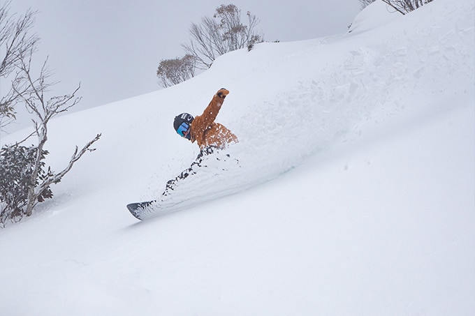
As we say sayonara to this damp ol’ weather system that has been plaguing us the last few days, we look ahead to what could be the biggest and boldest snowstorm of the season. It’s basically the season-starter storm that is long overdue. Better late than never though, right?!
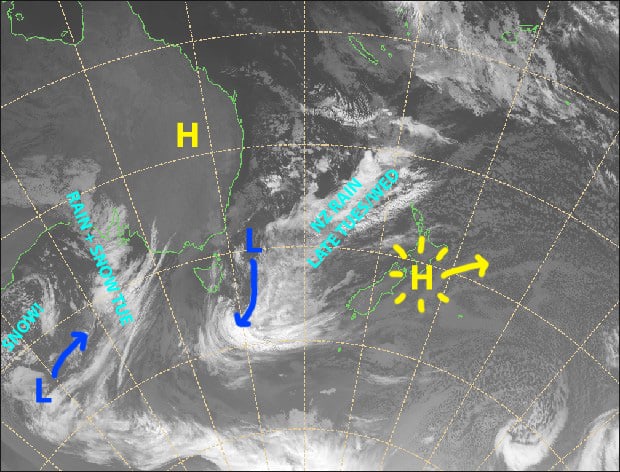
The low approaching from the west will eventually combine forces with that low sitting off the NSW coast over the next couple of days, forming a super-duper low south of Tasmania. This super-duper low will chuck powder at the Aussie Alps from Wednesday through to Saturday with blizzard conditions. Most resorts should see a storm total of 50-80cm, but 1m+ could fall about high ground of the Snowies.
Monday 17th
Patches of clear sky overhead, but mostly a cloudy day with a spot of light drizzle about the place, falling as snow above 1800m. SW winds, clocking around to the W-SW.
Tuesday 18th
Snow will fall throughout the day, but temps will rise after dawn, gradually lifting snowlines to around 1900m with rain falling below that. The snowline will start lowering again at night. NW winds, strong up top.
Wednesday 19th
Oh yeah, snow baby, and lots of it! Expect heavy falls and blizzard conditions. Snowlines mostly sitting between 1200-1400m. Gale W-NW winds, abating for a time.
Thursday 20th
More snow! More exclamation marks! The heaviest falls will be before dawn, leaving snow showers for the rest of the day. Gale westerly winds with blizzard conditions, abating a little.
Extended Outlook
The powder will only get fluffier this Friday and Saturday as the snowstorm continues to batter the Aussie Alps and temperatures get icy cold. There’ll be heavy snowfalls to low levels with blizzard conditions.
High pressure will settle things down on Sunday, providing a couple of amazing powder days to sink your rails into while temperatures remain cold.
Forecasts then differ at this point, with light snowfalls possible between late next Monday the 24thto next Wednesday the 26th. Successive model runs have been weakening this system, so don’t hold your breath.
Yet another couple of snowfalls look likely at the end of the month and start of September. At present they don’t particularly look big, more in the light-moderate range, but we’ll just have to wait and see closer to the time.
That’s all from me, get out there and enjoy.


