Grasshopper’s Weekly North America Forecast, December 26th – A Tonne More Snow & Rain Before a Slowdown Early Next Week
Mountainwatch | The Grasshopper
Written Wednesday afternoon, 25th December (Pacific Standard Time)
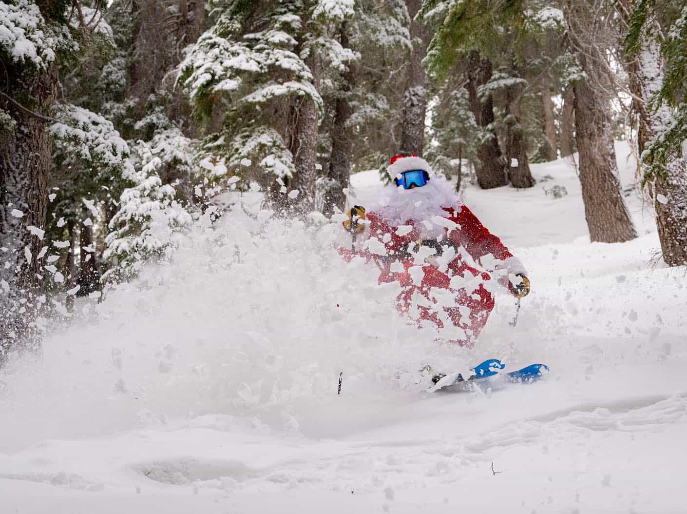
Christmas Day has delivered for many resorts in the US with good snowfalls overnight for California’s Sierra’s while there were lighter falls in the Central Rockies. British Columbia didn’t miss out with good snowfalls for Whistler and the Coast Mountains on Tuesday and Interior resorts also had a nice freshening up. Things are about to ramp up with a very active week ahead that could see some very big snow totals at higher elevations, particularly in Pacific Northwest and British Columbia.

Thursday December 26th to Sunday December 29th
This 4-day period will see no less than four storm fronts from the Pacific roll over northern-central parts of western North America. One storm about every 24 hours will bring surges of heavy snowfall to the Coastal Crest before spreading inland to the Rockies, where light-moderate falls are generally expected. However, Idaho and Wyoming will also see some heavy falls at times.
Big totals are expected, especially in the Canadian Coastal Mountains, Cascades, Idaho and Wyoming. The regular top-ups will also add up to quite significant totals for some resorts in inland BC, Utah, Colorado and the Sierras.
Most of this snow, however, will fall during strong, warm wind flows from the south. Snow levels will start slightly elevated, with rain affecting just the lower slopes at first, but will trend upwards as warmer air arrives, with rain also affecting the mid and upper slopes of many resorts. Colder air will start to arrive in the west on Sunday.

Monday 30th December to Wednesday January 1st
Remaining snowfall from the previous storms will gradually peter out over western North America during Monday and Tuesday as a cooler, drier airmass spreads over the area, and high pressure brings settled conditions.
However, from late Tuesday, temperatures will once again start to rise as the next storm arrives in the northwest. Heavy snowfall in the Coast Mountains and Cascades will likely transition to rain on Wednesday, with light-moderate falls of mixed precip also falling about the northern Rockies.

That’s all from me today, folks. Have a great week, and I’ll see you back here next Thursday for another weekly rundown of North America’s highlights and snowlights.
Grasshopper


