Mountain Safety Collective Backcountry Conditions Report – Friday 7 August 2026
Mountainwatch | Mountain Safety Collective
The past week has seen the mountains return to a state of ‘proper winter’ conditions as a low pressure system lingered in just the right spot to feed consistent top ups of snow to the NSW and Victorian mountains accompanied by very cold temperatures.
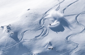
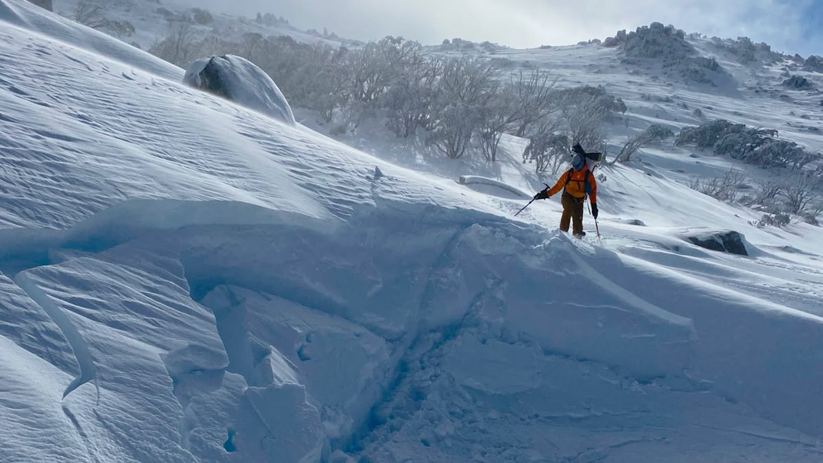
Since Monday 3 August, 30-40cm of cumulative snow has fallen while the freezing level has stayed below 1500m. Moderate winds have loaded this snow onto lee aspects, providing excellent quality skiing and split boarding in the backcountry.
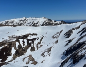
With the wind loading, windslabs have formed and MSC has received several reports of smaller wind slab avalanches. Take particular care on steeper wind loaded slopes and convex rollovers. The wind has kept snow from accumulating on windward slopes and ridgetops, so continue to carry crampons for safe ascents over exposed ice. Snow cover has improved in the sub alpine, but exposed hazards are still plentiful due to the lower snow depths.
Friday will see mostly cloudy conditions and moderate winds continue with the chance of snow flurries through that day, before clearing to a mostly sunny day and lighter winds on Saturday providing for excellent backcountry touring conditions.
If you’re planning a snowcamping mission this weekend, pay very close attention to the storm front that will develop on Saturday night and hit with gusto through Sunday morning. This will bring heavy pre-frontal rain and extreme winds throughout Sunday before temperatures fall enough to start snowing. This is being touted as the ‘storm of the season’ and should see more than 50cm of snow accumulate from Monday to Thursday next week.
Make sure you check Mountain Safety Collective’s free, daily Backcountry Conditions Reports for the most up to date information. MSC’s Membership Drive is still running through August with some fantastic prizes being drawn.