New Zealand Forecast – Clear Your Schedule, A Cracking Powder Day Coming Thursday!
Published early Wednesday, 16th September 2026
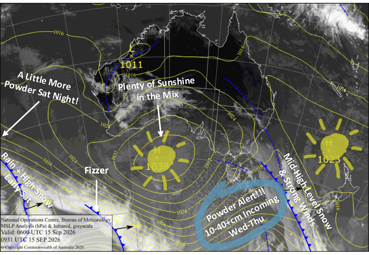
A juicy spring storm is lining up for the South Island, with a slow-moving front and cold southerly delivering widespread snowfall Wednesday into Thursday. Storm totals of 10-30cm are expected, with 40+cm possible at Treble Cone and Temple Basin, setting up a cracking powder day Thursday as skies gradually clear. Clear your schedule, pull some strings and get amongst it!
Things stay lively into the weekend. Friday will be quieter before another front barrels through early Saturday, followed by a cold southwest change after dark that’ll give the Southern Lakes a wee 2-5cm top-up overnight. Sunday then shapes up mint as skies clear across the South Island. Mt Ruapehu finally gets in on the powder action too, with the cold change whipping across the North Island and delivering 5-15cm before skies clear later in the day.
Wednesday 16th September
A slow-moving front moves onto the lower South Island during the wee hours before dawn, spreading rain and mid-to-upper level snow over the Southern Lakes and up the Main Divide. A light but cold southerly then creeps over the Southern Lakes later in the morning/early afternoon, lowering snow to base levels where it’ll continue to fall for the rest of the day and into the night, keeping the slopes topped up with fresh powder.
In Canterbury, showers of rain and high-level snow will spill over from the Main Divide throughout the day, while strong northwesterlies back off during the afternoon as the cold change approaches from the south. The cold southerly pushes up the region after dark, bringing widespread snowfall down to low levels.
Another nice, sun-filled day for Mt Ruapehu as light westerlies turn northwest.
Thursday 17th September
South Island ski fields are in for a cracking powder day, with storm totals of 10-30cm expected once it all clears and 40+cm possible at Treble Cone and Temple Basin. Wax the powder skis because this is one powder day you won’t want to miss!
The snow clears the Southern Lakes early in the morning as southwesterlies develop, revealing clear, sunny skies. The clearing then gradually works its way north through Canterbury, from the Mackenzie area to Mt Hutt during the morning before pushing farther north in the afternoon.
Mt Ruapehu will be increasingly soggy and blustery, with drizzle gradually building into rain as the front from the south closes in and northwest winds strengthen.
Friday 18th September
Westerly winds will be strong in exposed parts of the Southern Lakes, with mostly cloudy skies and a few possible snow flurries.
Canterbury will be much nicer with mostly sunny skies as the westerlies gradually ease.
Rain clears Mt Ruapehu early morning as northwest winds die away, but showers will kick in from late morning as light southerlies develop.
Saturday 19th September
Northwesterlies crank up over the South Island before dawn, reaching gale force in exposed areas, especially in Canterbury where lift operations may be hampered. A front then zips over from the west early in the morning, bringing a spell of rain and high-level snow spilling over the Main Divide.
Skies then clear for a nice, long sunny spell through the afternoon before a strong, cold southwest change rips through after dark, giving the Southern Lakes a wee 2-5cm top-up and Canterbury just a skiff.
Mt Ruapehu will be nice first thing, but the front soon arrives from the south, bringing strong westerlies and rain through the rest of the day.
Sunday 20th September
Lingering light snow showers over the Southern Lakes and cloud in Canterbury clear during the morning as strong southwesterlies gradually ease, leaving clear, sunny skies for a mint afternoon.
Rain on Mt Ruapehu turns to snow before dawn as a cold south-to-southwest change whips across the North Island, delivering a fresh 5-15cm top-up before clearing in the evening.
Extended Forecast
A couple more cold fronts will scoot up the country early next week, bringing shots of powder to Kiwi ski fields from Monday the 21st through Wednesday the 23rd. Totals don’t look huge, but the Southern Lakes and Mt Ruapehu are well placed to cash in, with snow possibly lingering on Ruapehu into Thursday.
A short break should follow before active spring westerlies return later in the week, bringing more shots of shots, strong winds, and sunny spells. Classic four-seasons-in-a-day spring weather.
That’s all from me today, folks. I’m sending out NZ forecasts every Monday, Wednesday and Friday throughout the season. Have a great couple of days, and I’ll see you back here on Friday.
Grasshopper