Storm Journal, April 30-May 3 – Biggest Pre-Winter Snow Totals In Years
Mountainwatch | Reggae Elliss
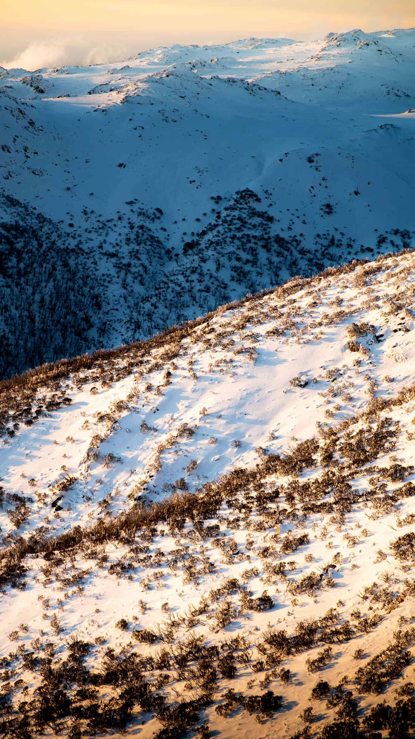
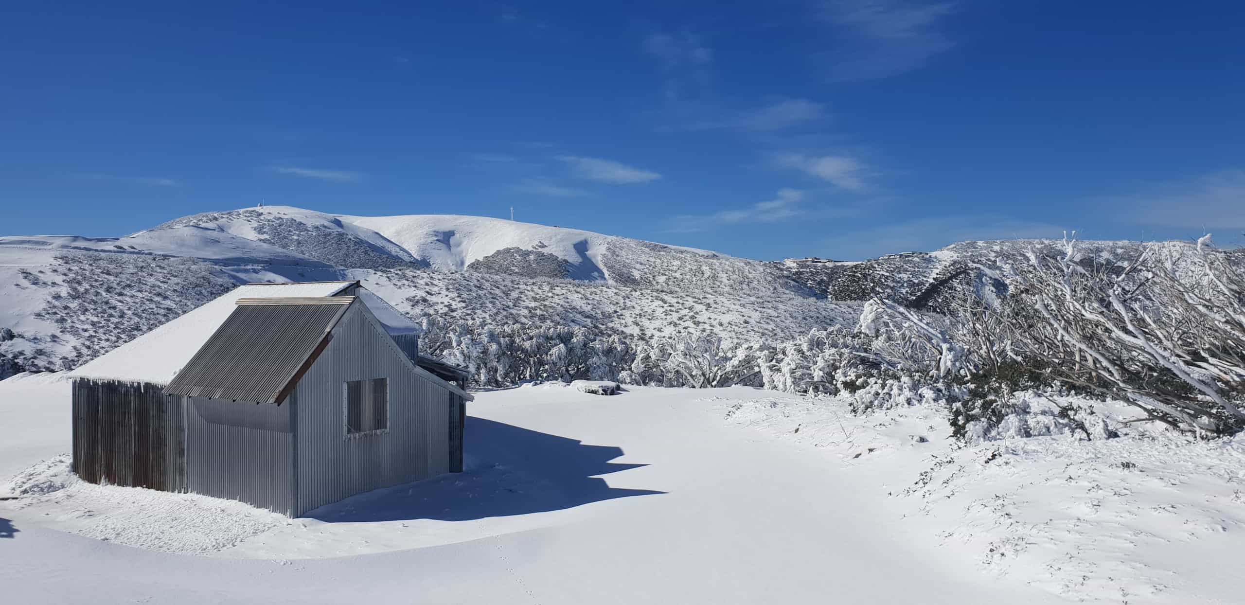
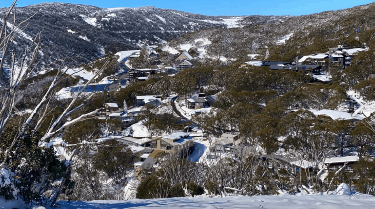
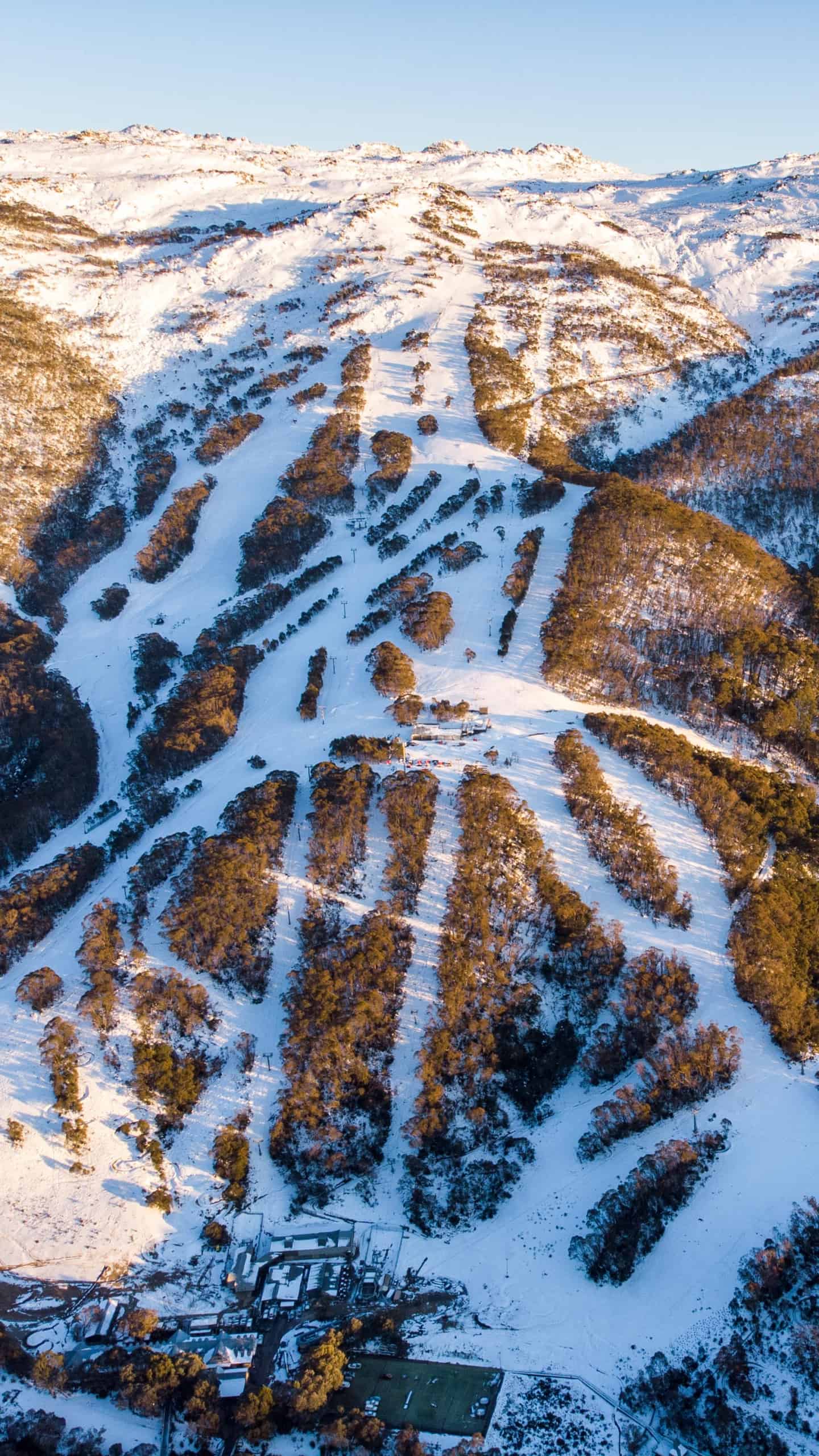
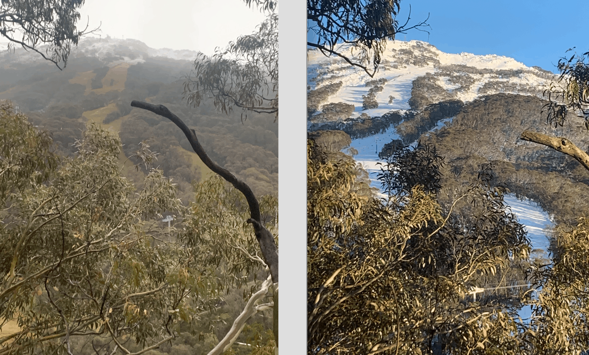
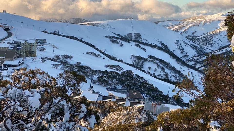
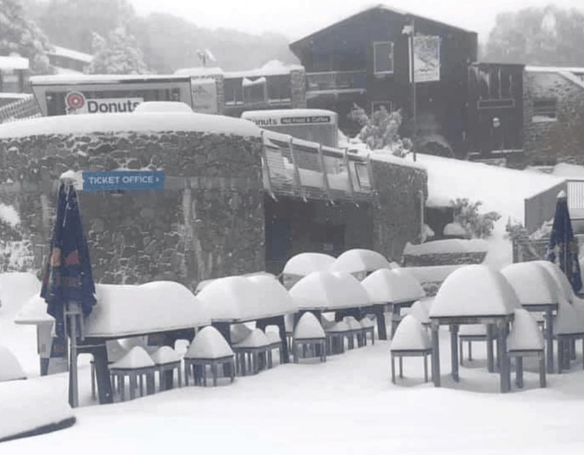
The strongest early season storm in many years cleared the mountains early Sunday morning, leaving the Australian Alps under a deep blanket of what looks like mid-winter snow.
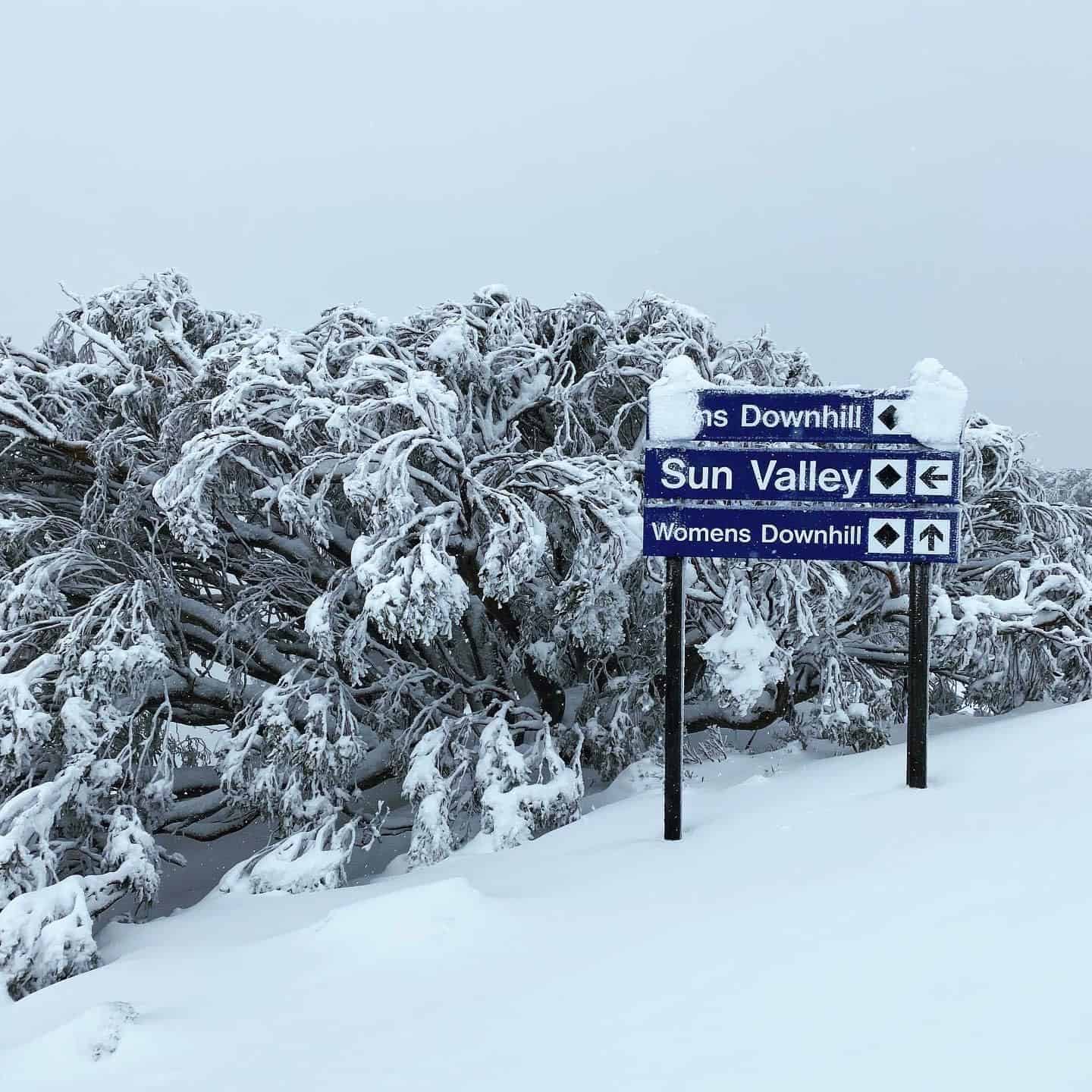
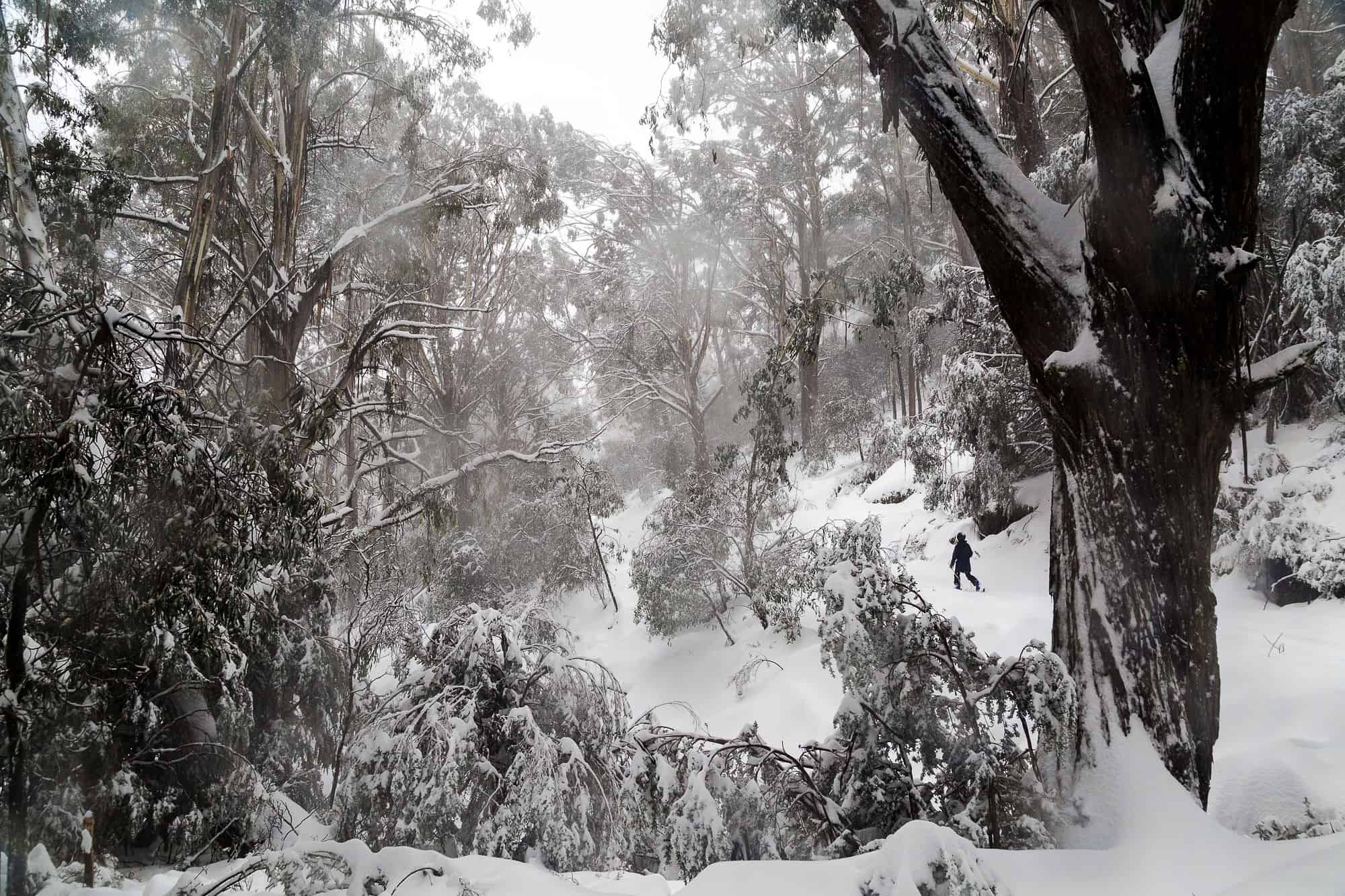
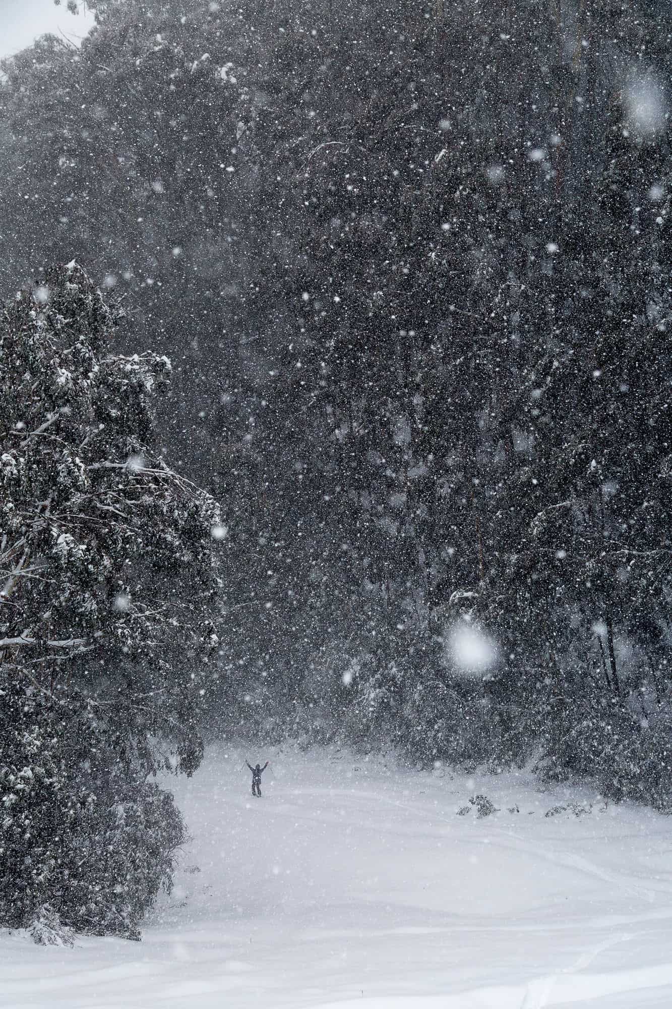
It also brought out a lot of people keen for a few “non-iso” turns and social media was full of lucky locals getting out for a few freshies, building jumps and hitting rails.
The weather system that hit last Thursday was a classic Australian winter storm, with warm pre-frontal gale force northwest winds and rain before the first of three cold fronts marched up from the south. The rain prior to the storm was full-on, the BOM’s all weather station at the top of Thredbo recording 161mm in 36 hours across Wednesday and Thursday with a NNW gale gusting up to 128km/hr on Wednesday. The result was flowing waterfalls on the mountain and the Thredbo River bursting its banks on Wednesday afternoon.
It was a similar story in the Victorian high country, Mt Buller receiving 116mm on Thursday with a soggy Falls Creek registering 96.6mm on Wednesday followed by another 86.2mm on Thursday.
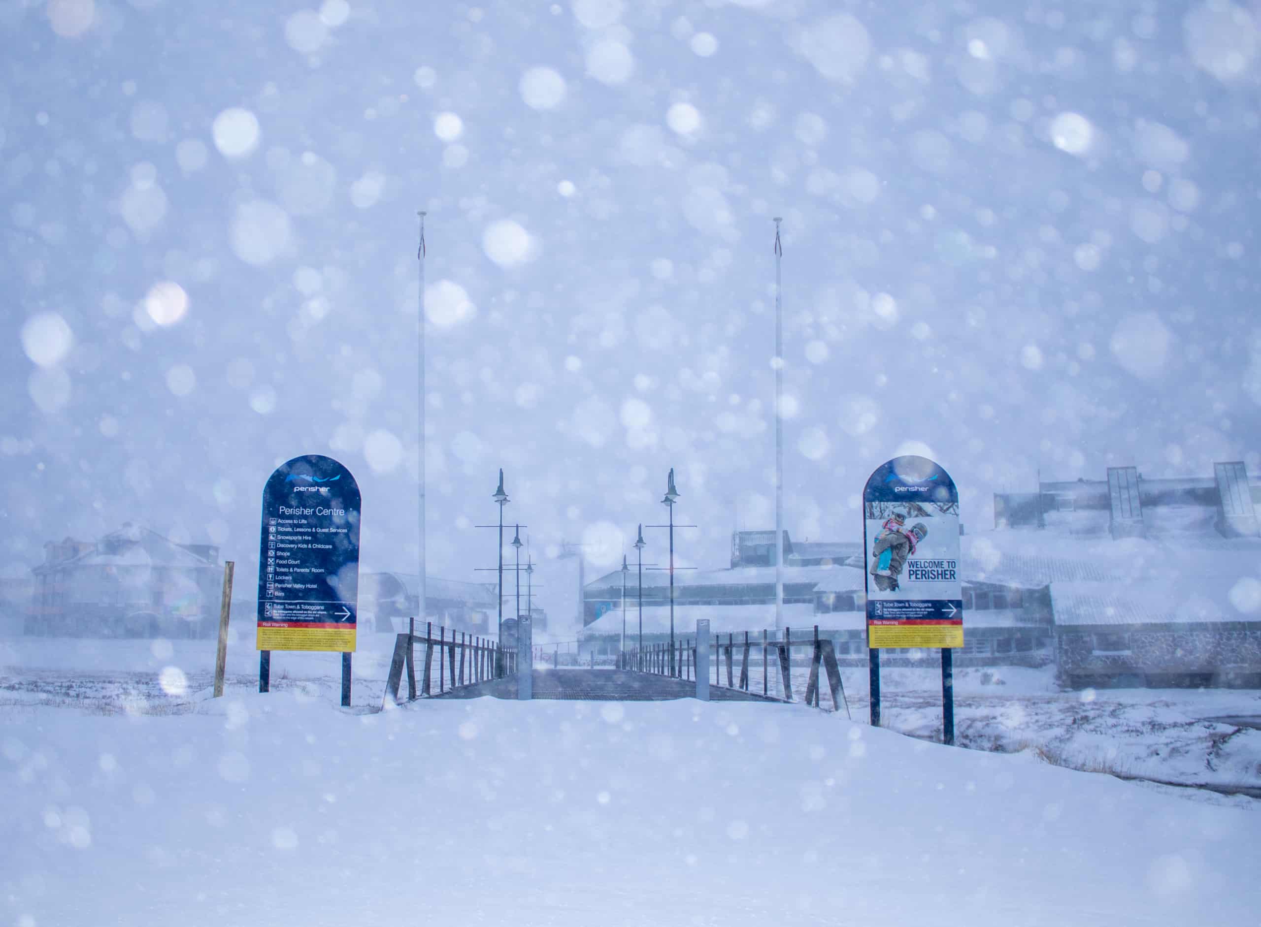
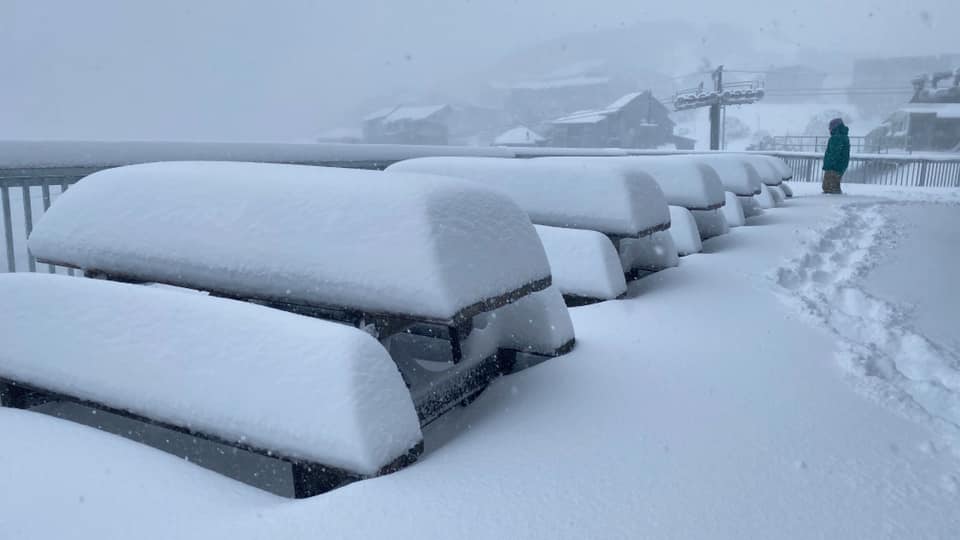
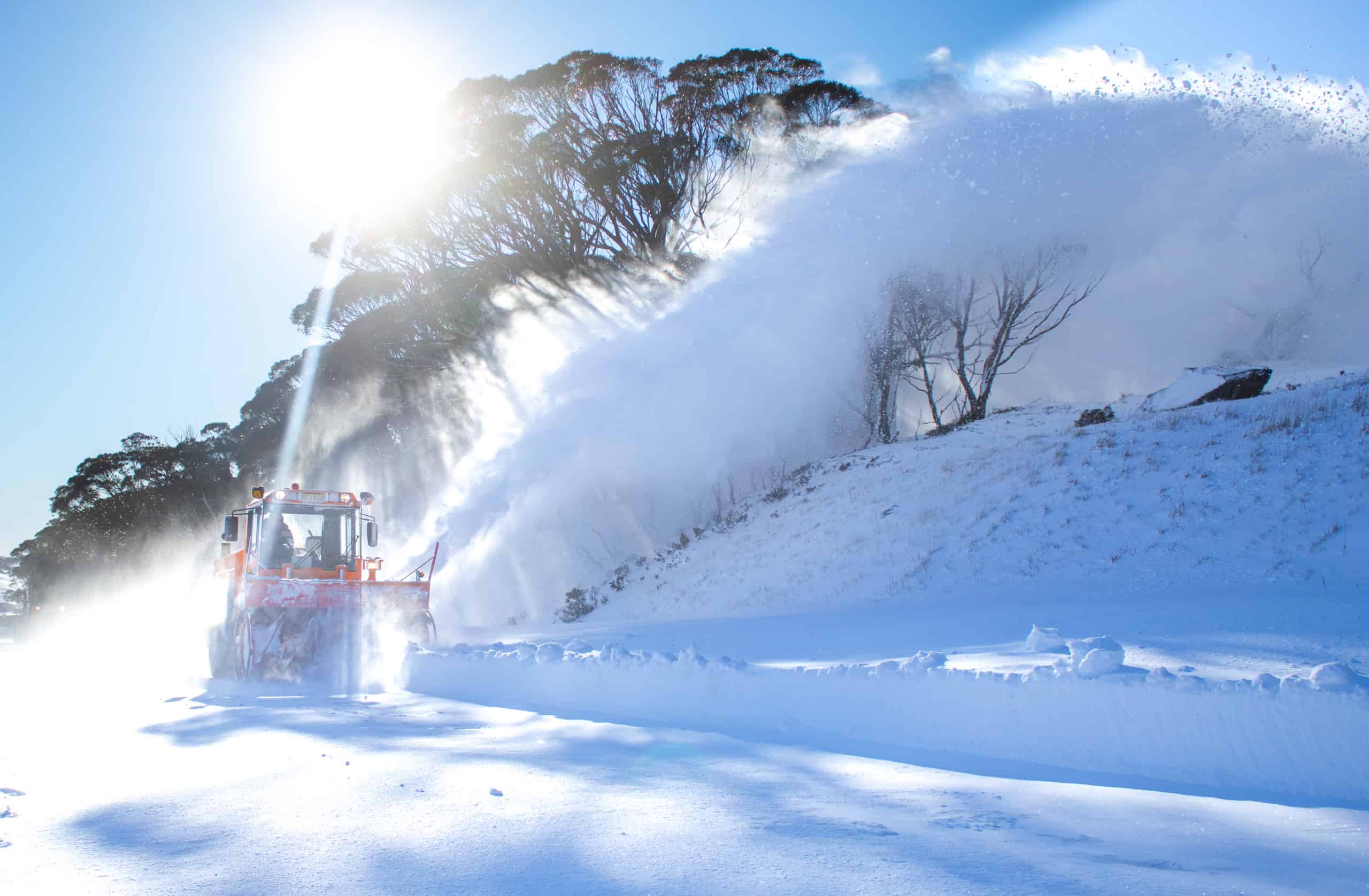
It’s hard to believe people were laying down powder turns the next day, but the temperatures started to drop late Thursday morning, the snow level lowering as the afternoon progressed. I was watching it from home and at dusk the snowlike in Thredbo was mid mountain at around 1600 metres. When I got up the next morning there was 15cms outside my front door and it snowed consistently for most of the day.
Blizzard conditions continued on Friday night and there was 35-60cms across the Australian resorts by Saturday morning with upper elevations seeing 70-80cms of snow and the strong winds also blew in a lot of snow. The wind-chill was down at -23 and the snow quality for those who made the effort to hike for a few turns was very good – more like mid-August than May 2.
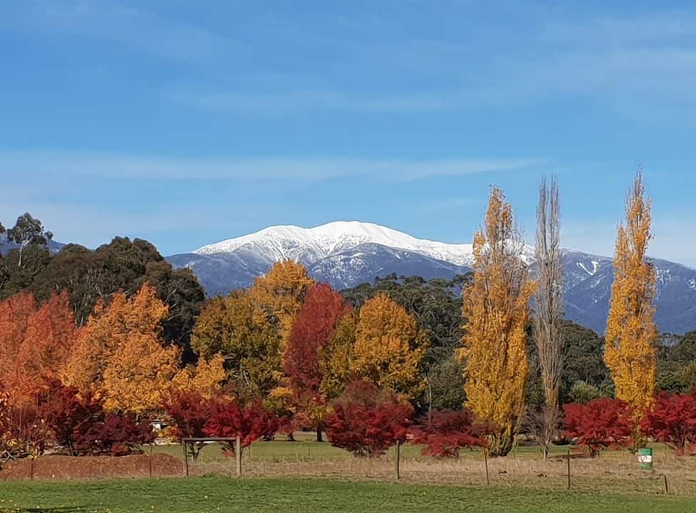
Yesterday was cold and sunny, one of those crisp clear days when the mountains looked amazing and the post storm snow-cover was the best for the start of May in years. While May storms are not unusual, this one was very strong and bitingly cold and there is more snow in the forecast for next weekend.
The next cold front doesn’t look as strong as last week’s, but it could be a sign of things to come, the Grasshopper writing in his first Australian season outlook that the relative climate drivers are pointing to above average snowfalls this season.
Despite the promising forecast and early snowfalls, the uncertainty about this snow season remains, but the ski resorts are hopeful of opening this season and preparations continue. There is reason to be optimistic and as the Covid-19 situation improves we should see a continuing relaxation of the current restrictions, hopefully enough for the governments to give them the resorts the go ahead to open. For that to happen the NSW, Victorian and federal governments need to have the confidence the resorts can maintain suitable spacing, accessible hygiene measures etc. and that people will follow whatever guidelines are put in place.
Of course, the foundation for anything happening this winter is that the current restrictions on travel and gatherings are also lifted or significantly eased and, as the federal government have said, that will depend on how many Australians download the Covid safe app.
We’ll have to wait and see how that pans out, but as far as the snow and weather goes, winter 2020 is off to a good start. Enjoy this gallery of photos shot over the past few days: