Storm Journal, September 24-27 – Cold System Delivers Some Spring Time Pow
Mountainwatch | Reggae Elliss
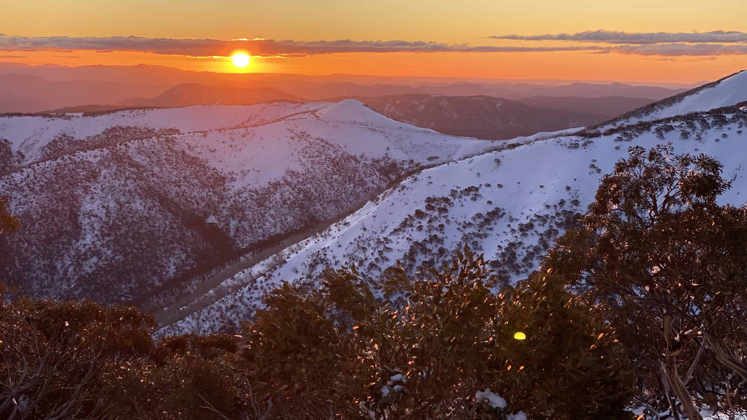
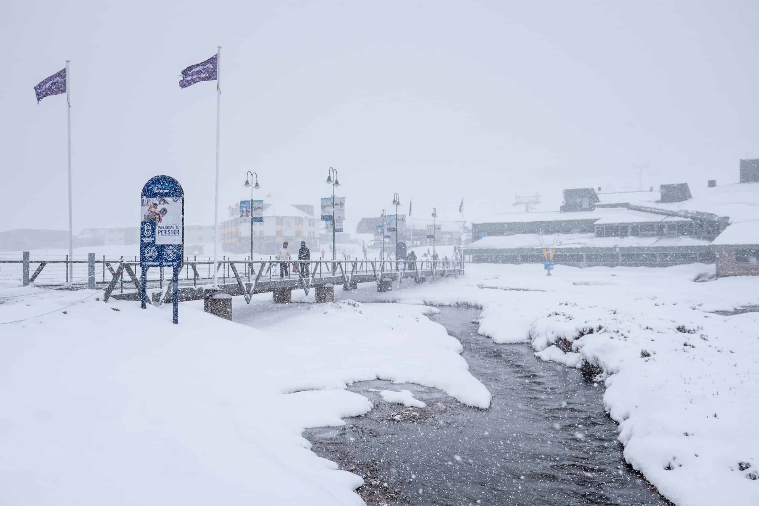
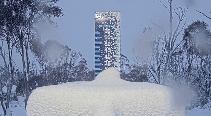
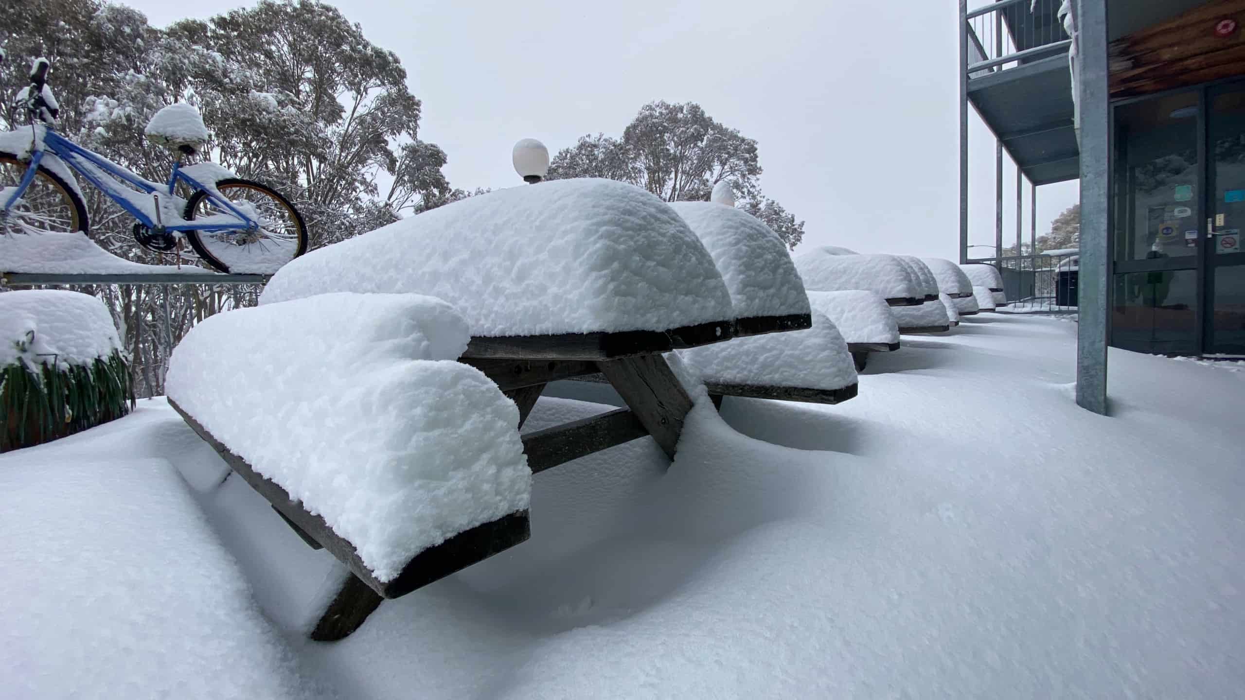
Last week’s storm ended up dropping 40-50cm of snow, the first decent snow to hit the Aussie Alps in a month and only the fourth storm of the season. Still, better late than never and the solid snow totals set up a good week in Perisher, the only ski resort still open, and some fun late season turns in the backcountry.
The storm arrived after a warm early September that saw hairdryer northwest winds and warm overnight temps accelerating the snow melt, the snow depth dropping by half a metre in a week. Unfortunately, the result was that Thredbo and Charlotte Pass had to close on Sunday, September 20 due to the poor snow cover and for those resorts this storm was two weeks too late.
The Grasshopper first mentioned the storm in his extended forecast on September 17 when he said a cold front will deliver some snow in the following week and it “should be a nice late season top up, giving us the first fresh snow in a long time.”
At that stage the possible snow totals weren’t huge, but by the following Monday the storm was developing into a classic mid-winter system, set to drag freezing air out of Antarctica and delivering decent snow totals. In his forecast that day the Grasshopper wrote that the, “Models have lined up nicely for a cold front & low combo to dump a whole lot of snow this Friday and Saturday – early estimates are up around the 30-40cm mark.”
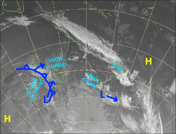
The first cold front arrived on Tuesday night dropping 5cm overnight and then another 10cms by Thursday. The second and stronger front hit on Friday with snowfalls and cold west winds developing during the day, with blizzard conditions at times and a wind-chill down at -15.
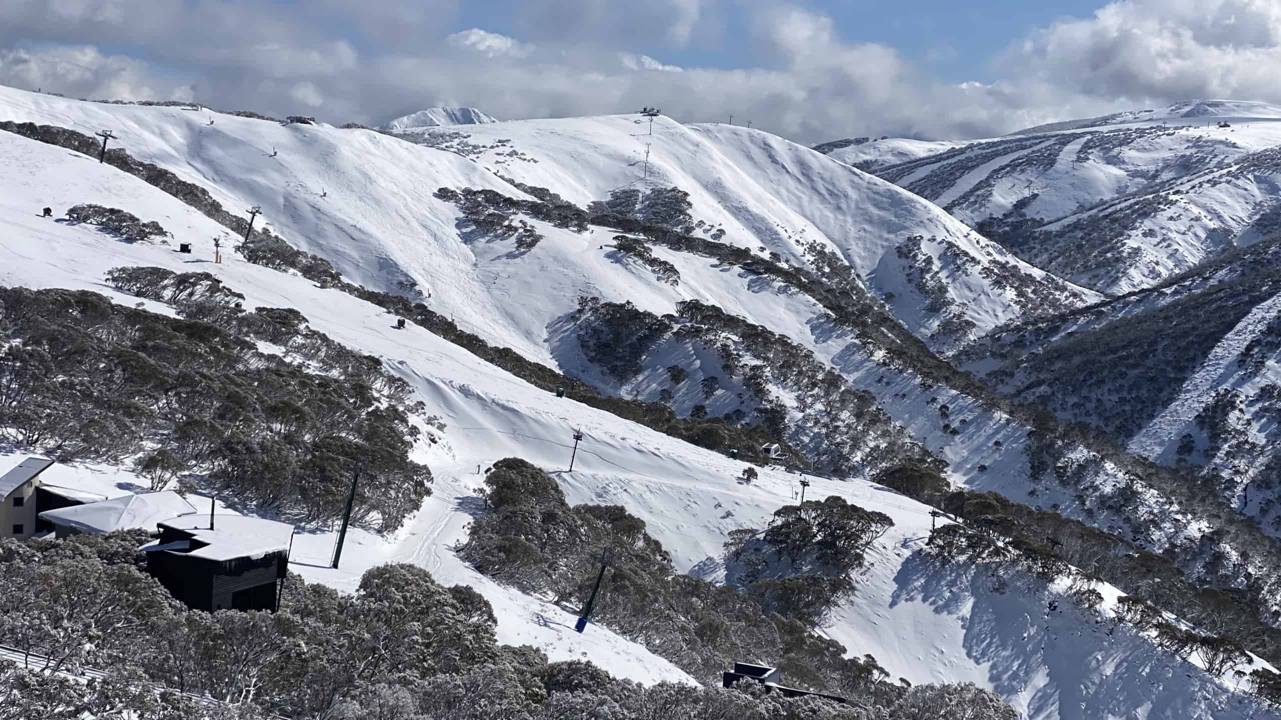
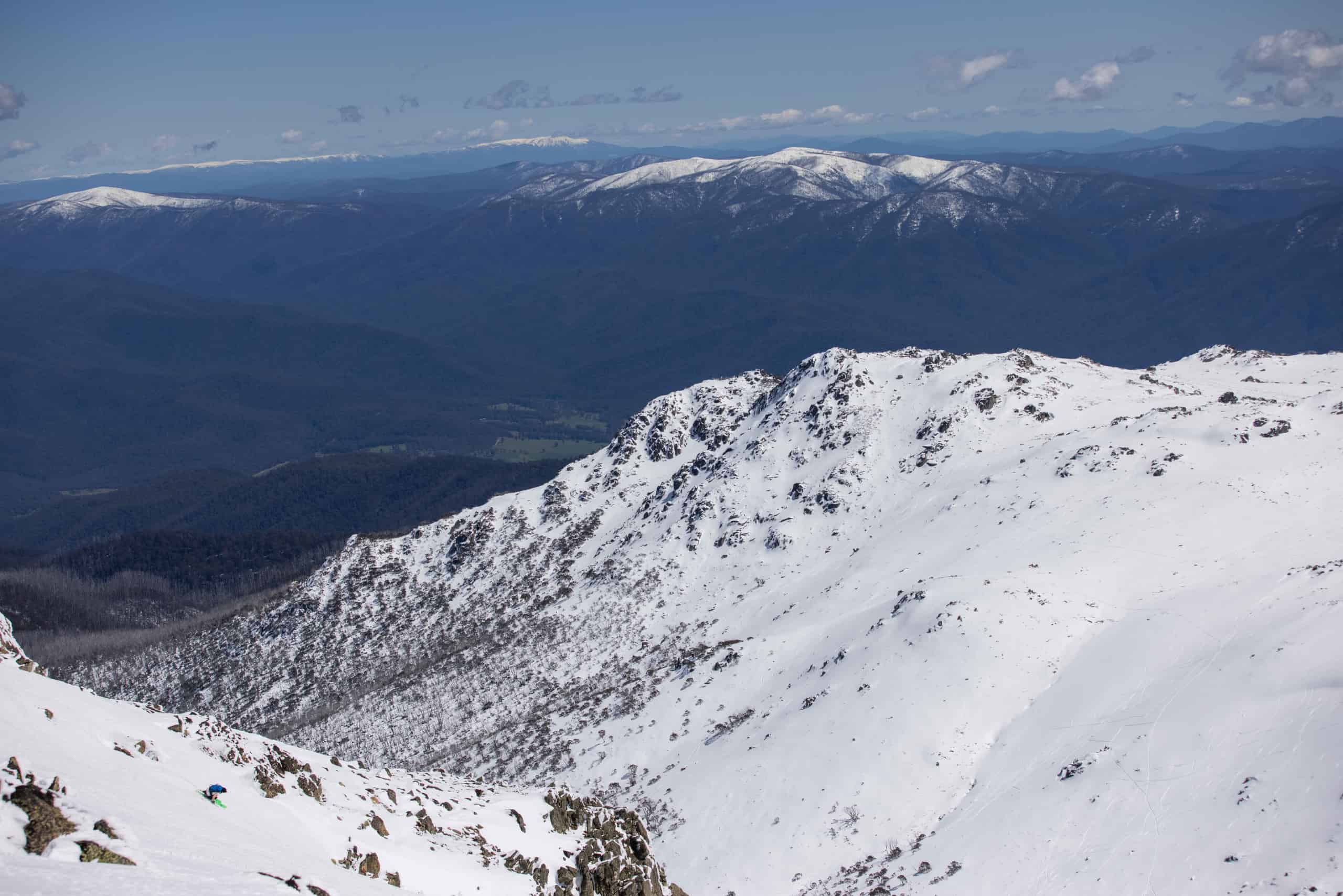
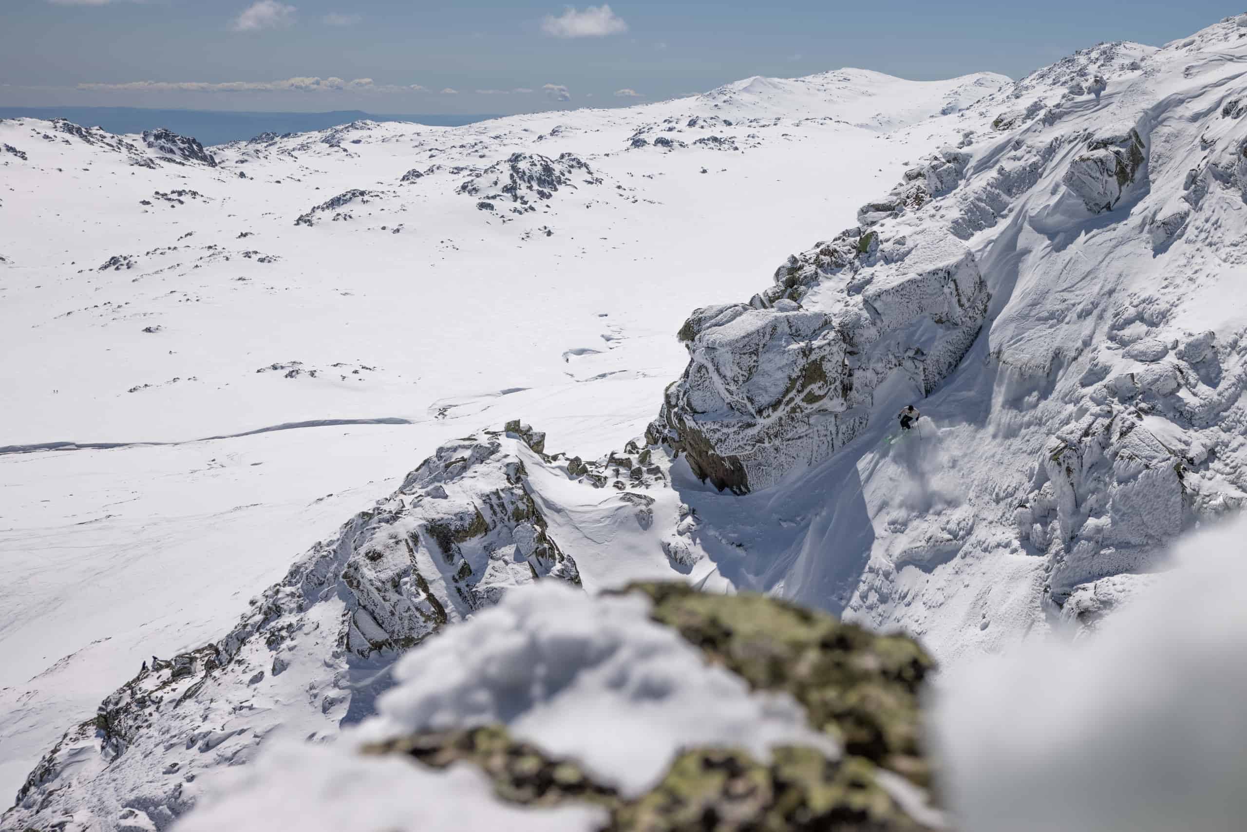
By Saturday morning the Victorian Alps had received another 30cms and there was 25cms of fresh snow across the NSW resorts, setting up a good weekend. Perisher was the only resort open and it turned on a mid-winter powder day with dry fresh snow and plenty of people taking advantage of the late season snow.
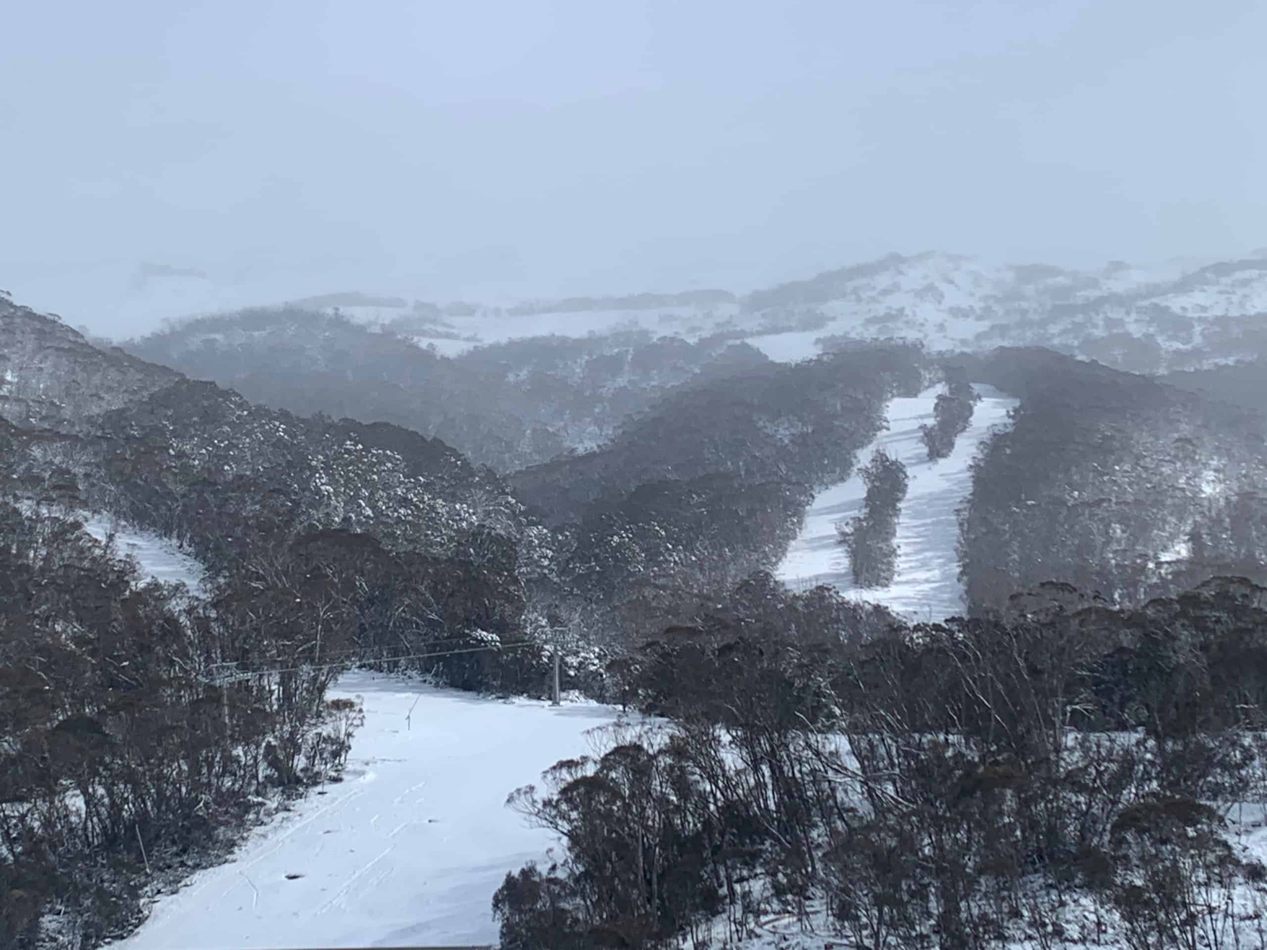
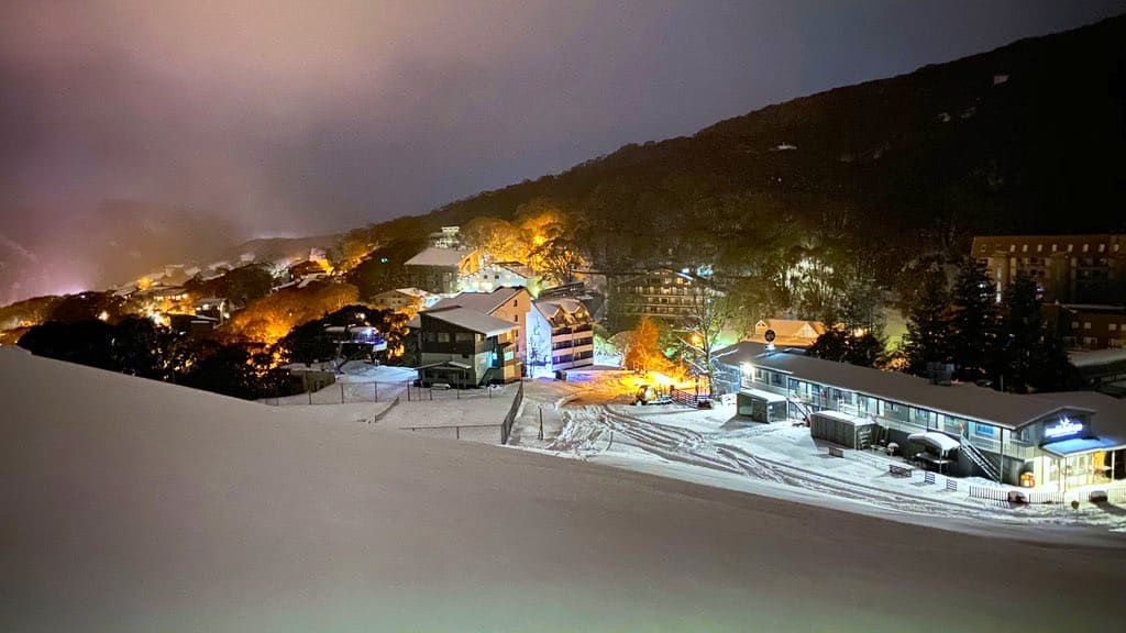
Thredbo may have been closed, but the Kosciuszko chair was and is still open for backcountry access and last weekend a lot of people headed out the back for some fresh turns. By Saturday morning it was also top to bottom in the resort, which proved too tempting for some and by late morning there were quite a few tracks down the Supertrail and High Noon.
In Victoria the storm came at the right time for regional Victorians as restrictions had eased and they were now allowed to travel, and many headed into the mountains for a few backcountry turns. The resorts are open again for visitors and after all the snow there was plenty of opportunity to get up there for snow play, no doubt a welcome outlet after the lockdown. Buller also opened Bourke Street on Monday for regional season pass members to lock in some long overdue turns.
The days following the storm have been sunny with cold nights maintaining the snow, Perisher quite busy with school holidays while the fine weather was perfect for touring. However, the weather changed and it is rainy today and given the forecast and hot weather on the way, it looks like last week’s storm is most likely the last hurrah of a weird 2020 season.