The Grasshopper’s Australian Weekend Forecast,Friday August 28th – Bluebird Weekend Ahead Before Rain Returns Tuesday
Mountainwatch | The Grasshopper
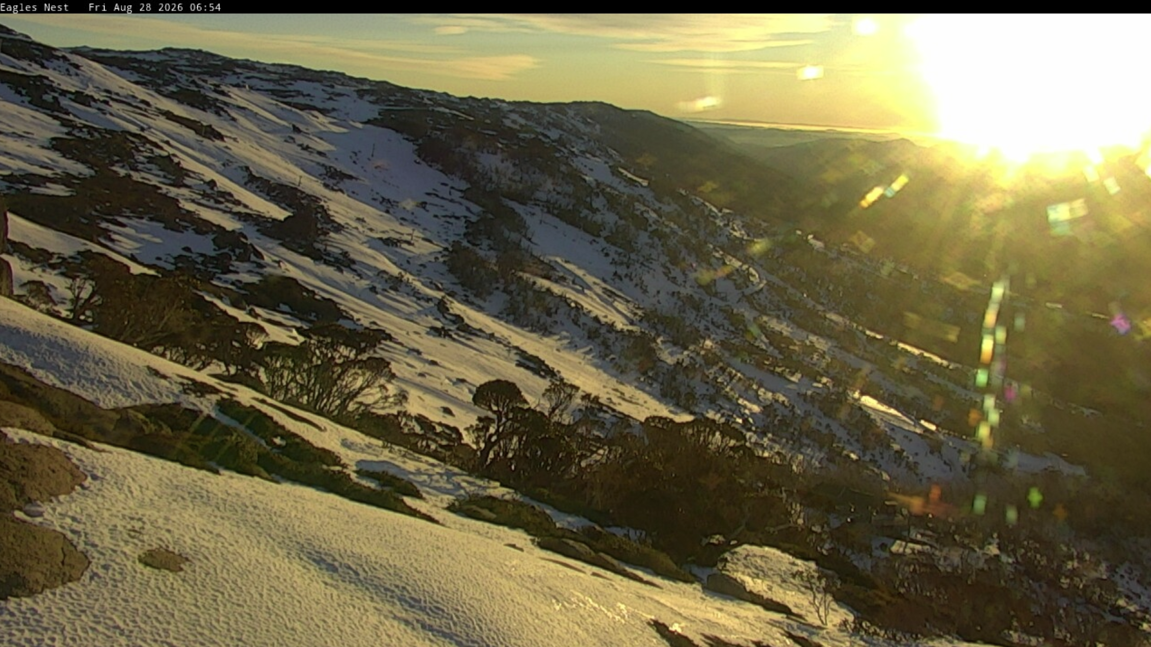
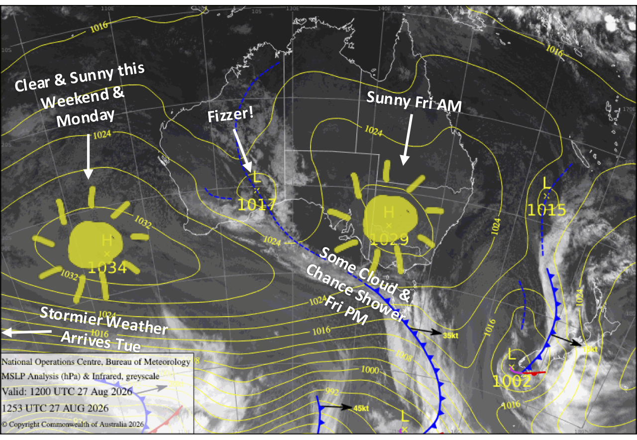
With a significantly diminished snowpack, we continue this run of stunning, fine weather through the weekend into Monday as high pressure lumbers on by. Tuesday’s rain dealt us a cruel blow, but the snow guns also had a great night repairing the damage Wednesday night, and they should get another wee run in these wee hours of Friday and again on Saturday, providing us with enough for some fun turns. Unfortunately, the good run ends Tuesday as a front brings strengthening northwest winds and rain, dealing us another blow.
Friday 28th August
A nice, clear morning, but south-to-southwest winds will push some clouds across Victoria from late morning and New South Wales in the afternoon. Mt Baw Baw will have a few showers and one or two light ones could show up elsewhere in Victoria. Chilly snow-making conditions likely early morning and overnight
Saturday 29th August
A clear, sunny day with a south-to-southwest breeze, but Mt Baw Baw will stay stuck in the clouds. Chilly snow-making conditions likely early morning, but it’ll be marginal overnight
Sunday 30th August
Another bluebird day as south-to-southwest breezes die away.
Monday 31st August
Crystal clear, sunny skies again with a developing northwest breeze.
Tuesday 1st September
A mostly fine start, but showers develop then build into rain through the latter half of the day as a front from the west crosses. Northwest winds strengthen, reaching gale-force in exposed areas. Unfortunately, no snow is expected with this one, and we’ll be dealt another cruel blow to our fragile snowpack.
Extended Forecast
A fairly strong westerly flow will bring showers to the Aussie Alps through to the end of next week as frontal systems scrape southeast Australia. We could see some snow falling about the upper slopes during this time, and there’s a chance colder, more active weather could bring snow to lower levels this weekend into early the following week, sometime between Saturday the 5th and Tuesday the 8th of September. Fingers crossed we get something out of this.
That’s all from me today, folks. I’m firing out these forecasts every Monday, Wednesday and Friday throughout the season, and an extra update on Sundays during peak season. Have a great couple of days, and I’ll see you back here Sunday.
Grasshopper