Weekly Japan Forecast – Less Snow and a Warm Weekend
Written late Wednesday, 11th February (Japan Standard Time)
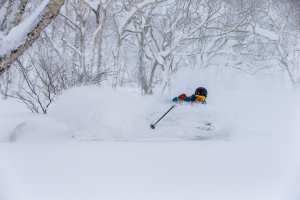
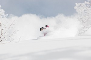
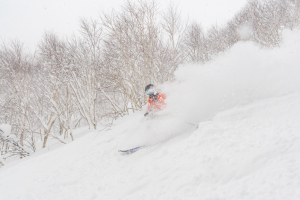
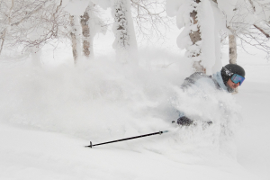
A storm over the weekend delivered a timely boost to Honshu’s snowpack, setting us up well for the week ahead, which is expected to bring relatively low snowfall, as well as warm, sunny skies this coming weekend. Snow fell particularly heavily on Sunday and Sunday night, dumping an impressive 40-50cm of fresh powder within 24 hours at several resorts. The latest storm, which arrived Tuesday night, will bring an extra top-up of denser snow by the time it clears early Thursday.
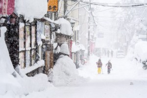
Snowfall on Hokkaido has been light n’ steady, with daily top-ups of 5-10cm since Friday, although a tidy 10-15cm fell for Wednesday morning’s reports. We’ll continue to see these small top-ups most days this week, but temperatures will also be unseasonably warm here on Sunday.
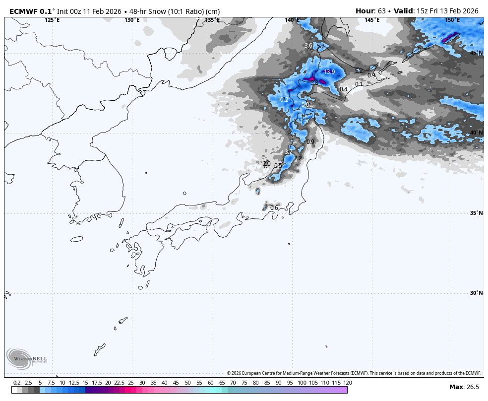
Thursday 12th & Friday 13th February
The storm that rolled down the country Tuesday night, bringing lower-quality snow and marginal snow levels, finally turned cold for Hokkaido Wednesday afternoon, and for Honshu Wednesday night. But as the cold air set in, snowfall backed off significantly to just light snow showers.
By dawn Thursday, snow will have cleared southwestern and central Honshu, and for the remainder of this two-day period, it’ll stay dry and mostly sunny with warming temperatures as the northwest wind flow shifts to the west-to-southwest. The only exception will be a period of snowfall in Niigata Prefecture from Thursday afternoon, as a weak front drifts south into the area before dissipating in the wee hours of Friday.
Resorts further north will do better in terms of snowfall over these two days, especially Hokkaido, where snowfall in one shape or another will hardly leave the radar. Light snow showers will turn more consistent for a time during the latter half of Thursday as a weak cold front passes south over the area. Snow then clears northern Honshu and eases over Hokkaido Thursday night, but another front will bring a more substantial period of snowfall during the latter half of Friday, though temperatures will be milder and the snow denser.
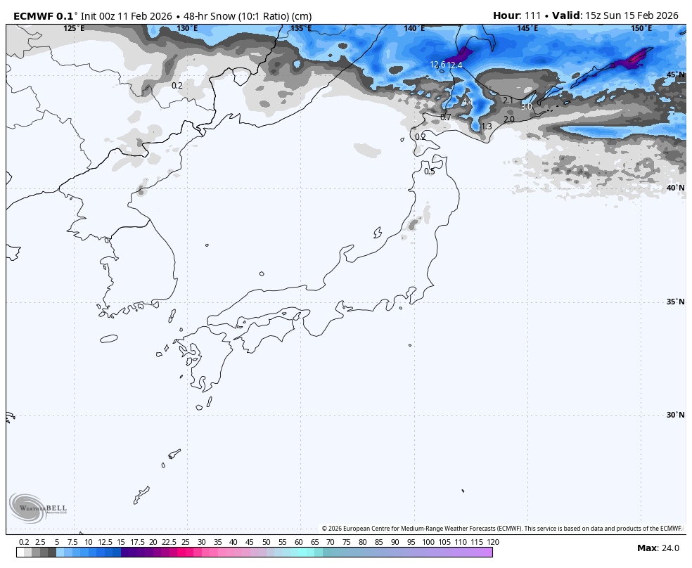
Saturday 14th & Sunday 15th February
Temperatures continue to climb this weekend as southwesterlies build ahead of an approaching low-pressure system that will pass over Hokkaido later on Sunday.
Honshu will have sunny skies throughout the weekend, and remaining light snow showers on Hokkaido will clear Saturday morning. A mix of rain and snow develops over Hokkaido early Sunday as a low approaches, but a cold front will hit Sunday night, bringing light to moderate snowfall down to sea level. The cold front continues south over Honshu overnight Sunday, kicking off the first half-decent snowfall there in 3-4 days.
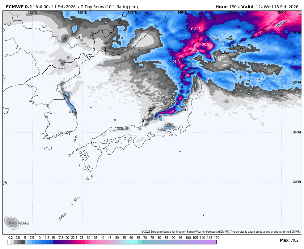
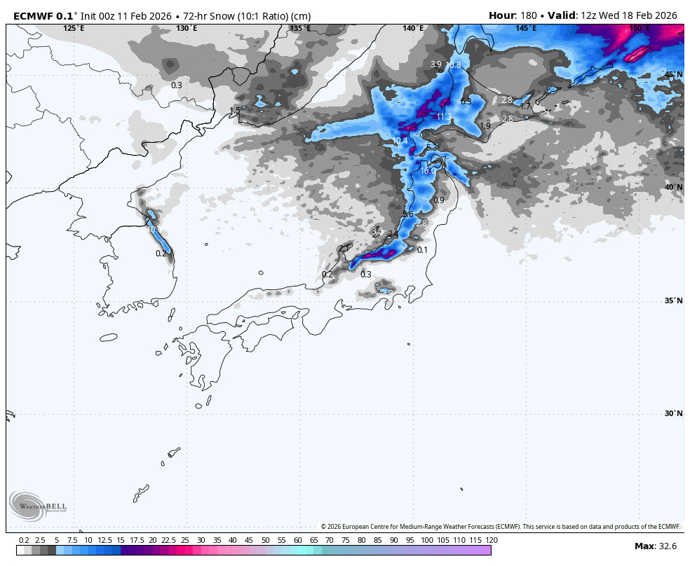
Monday 16th to Wednesday 18th February
The snow that started falling Sunday night will gradually clear up late Monday and early Tuesday, leaving a fresh top-up of about 5-25cm across many resorts throughout the country.
We’ll likely see a break in the action on Tuesday as a ridge of high pressure passes over. A fast-moving storm system is then picked to bring another wee top-up of powder on Wednesday.
That’s all from me today, folks. Have a great week, and I’ll see you here next Thursday for another weekly rundown of Japan’s highlights and snowlights.
Grasshopper