World Snow Wrap, December 21st, 2025 – Powder days in BC, Slow Start in the US, Up and Down in Japan, Meltdown in Europe
Mountainwatch | Reggae Elliss
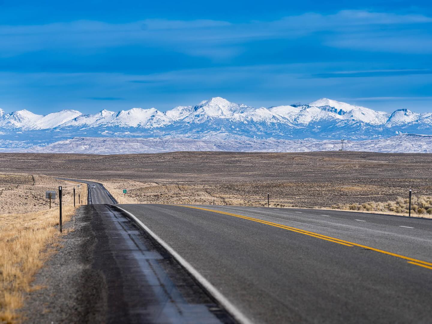
Here we are, the third week of December and time to break out our first World Snow Wrap for the 2025/26 Northern Hemisphere season. It has been a slow start in the US after a very dry and warm November with many resorts yet to open. Canada is a different story with consistent snow over the past month at higher elevations and a heap of snow over the past week while in Europe the Alps have had a bit of meltdown following some big falls at the end of November.
It was also a dry November in Japan which is pretty well standard before the storms started in the first week of December, It has been up and down since them, particularly on Honshu with some mild temps and rain at times. Read on for the details.
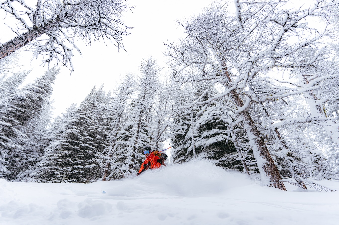
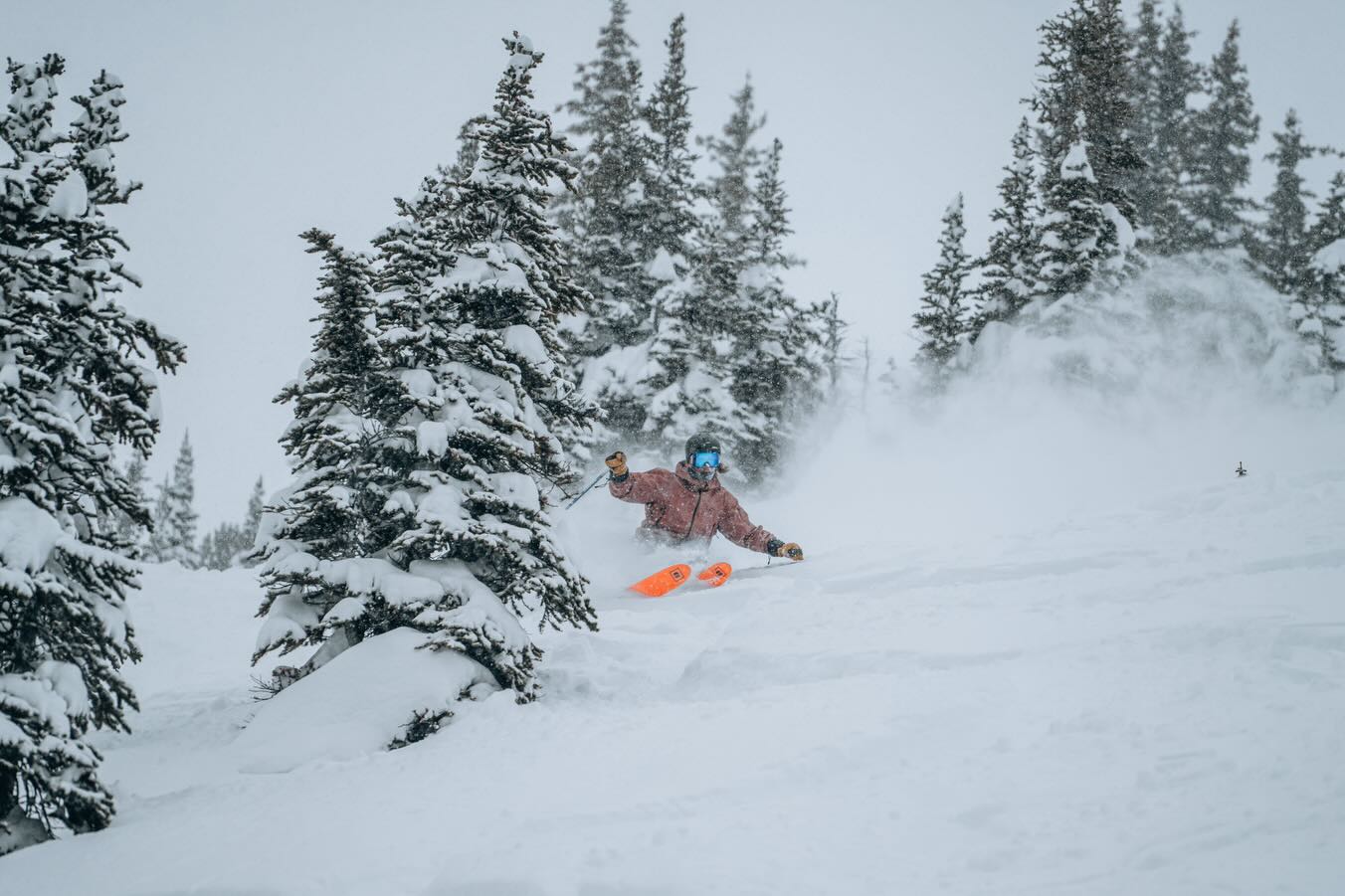
Canada
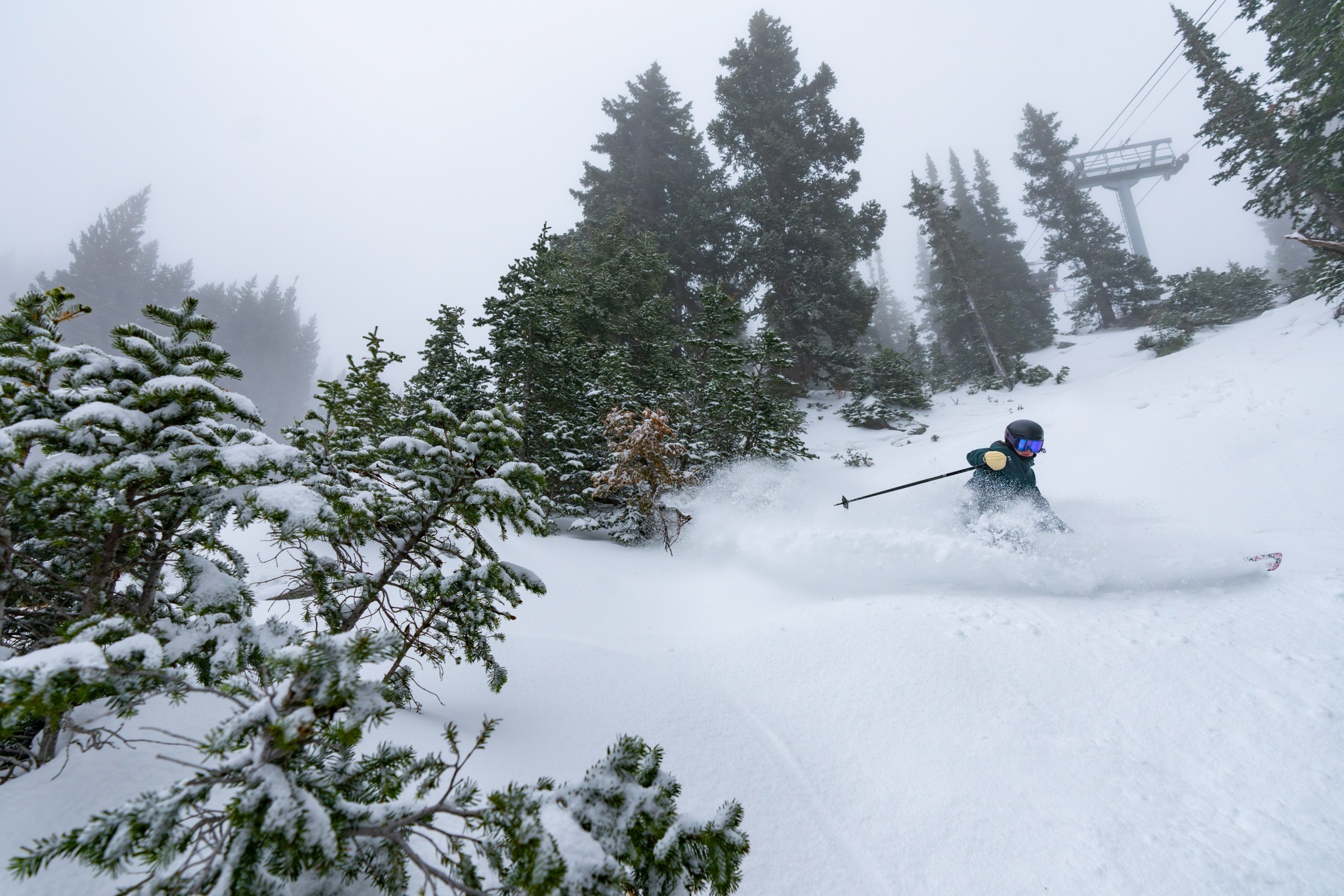
Thought we’d start off with Canada as the best snow in the world over the past week has been in interior BC and Alberta and we are talking multiple days of deep powder. Kicking Horse has only been open for a week and it has snowed every day with 150cms in the past week. Further east, the Banff resorts have also had plenty of snow, Lake Lousie reporting 113cms in the past seven days and it was still snowing today. Revelstoke has seen good totals and while it has been wet at the base there has been plenty of powder turns up high with 92cms on the upper mountain over the past week.

The Coast Mountains have also had consistent snow over the past week, Whistler with a seven-day total of 80cms on the upper mountain and good conditions up high. However, rain and minimal snow at lower elevations have prevented top-to-bottom skiing, and the have been a heap of social media posts showing ridiculously long queues for both uploading and downloading. Fortunately, a colder storm is currently dropping snow to the base where 10-20cms in expected by Tuesday morning while the upper mountain could see a metre. Snowfalls from this storm will be widespread across BC over with 50cms for Revelstoke, 26cms for Kicking Horse while Fernie should see 30+ cms over the next three days.
Japan
After a dry and mild November, Japan’s winter kicked in right on schedule, strong storms dropping good snow totals over the past 2-3 weeks. Resorts across Hokkaido have enjoyed some good base-building system with 75cms falling from December 9th to the 13th. The past week has also snow showers most days with another 25cms since last Sunday. It has been mild, +8 in Niseko on Saturday ,but there’s still an OK early season cover and cold air and snow is due tonight.
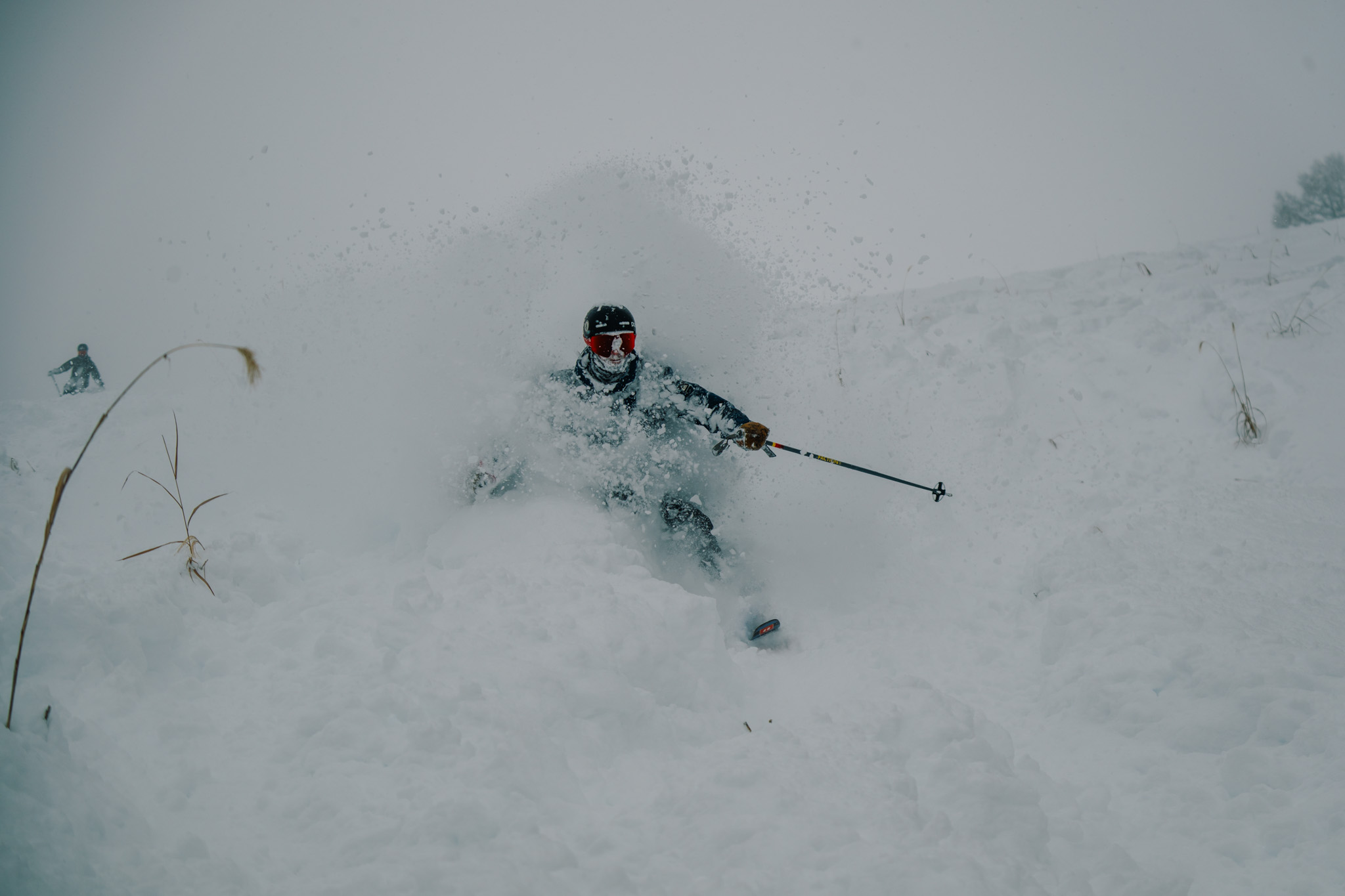
Further south there have been some goods storms, Hakuba receiving 25cms on overnight on the 17/18th but milder temps the fronts have led to rain at times. More lifts are opening in Hakuba, Myoko, Nozawa with a decent cover at higher elevations but after the rain the lower slopes are thin. It’s been a warm weekend, Myoko hitting +15 on Saturday!
Southwest winds maintained milder temps across the weekend with a warm wet front due on Sunday with rain/wet snow on Hokkaido before temps drop, the Grasshopper calling 10-2ocm for Hokkaido in his latest forecast. The cold air will spread south early Monday, resorts on Honshu set to pick up 10-20cm. Another storm mid-week will also start off warm and wet, followed by cold air and snow on Thursday, Myoko in line for 50cms over the next week.
USA
It’s not really an exaggeration to say the early season has been a shocker in the US with resorts in Colorado, Utah and Tahoe in California more green than white with snow levels at record lows as we head into the third week of December. While it has been a dry December, there has also been limited snowmaking due to unseasonably warm temperatures and with limited rideable terrain in the resorts that are open while some resorts are yet to spin any lifts.
However, there is some hope in the forecast with a warm storm out of the North Pacific set to drop wet, high elevation snow in the Pacific Northwest and California’s Sierras across the weekend. The Tahoe resorts could see 75cms down to mid-mountain levels while Mammoth’s higher elevation could see 80cms down to base levels by Monday morning. Totals up to 120cms are expected for resorts like Mt Baker and Crystal in the Pacific NW which will help get things started after heavy rain washed away the little cover there was last week.
That storm will track inland and favouring resorts in Idaho, Wyoming and Montana where it has been snowing, Jackson Hole picking up 10in in the past 24 hours. Another storm is due mid-week, and this one could deliver some huge numbers from December 24th-28th to resorts in the Sierras, latest models calling over a metre for Mammoth and Palisades Tahoe and 71cms for Heavenly. That storm will track east and should delver moderate snowfalls for resorts in Utah while Colorado, which is further south, may pick up some scraps.
Europe
After a couple of big storms in late November/early December, including one that dropped 50cm in 24 hours, leading to a big avalanche in Stubai, Austria, it has been mainly mild and fine across the Alps over the past two weeks. The early storms left a good base at higher elevations but there has been significant snow-melt down low and lower elevation resorts are struggling.
However, the majority of resorts that are open have a decent early season cover on piste at higher elevations and with open resorts in Austria, France and Switzerland having around 50-65% of terrain open. Colder temps and snowy weather should see 20-40cm across the Southern Alps by Monday. It will be a similar story in Italy, where fine and settled weather will give way to snow with 10-15cms forecasted for the Dolomites. piste at higher elevations and with open resorts in Austria, France and Switzerland having around 50-65% of terrain open.
Where we’d like to be this week
Kicking Horse, BC. It has some of the best in-bounds terrain in North America, has a good top-to-bottom cover and there’s another 60cms on the way over the next 10 days. Plus my daughter lives there, so the perfect place for a White Christmas.


