Winter’s Last Hurrah – Snow Alert Australia
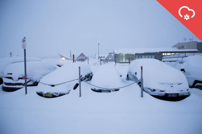
Here’s hoping for at least a few more mornings like this before Spring really arrives Image:: Perisher
SNOW ALERT
FILED: August 27, 12:00pm
CONFIDENCE: High
————————————————————————
According to Reggae’s report, there’s light snow about today as we await the arrival of the next front.
The question now is, how much snow is the next front going to bring? Here’s what The Grasshopper had to say today: “We will have light flurries/snow showers above 1800m and sleety showers on lower slopes this morning. Increasingly heavy snow showers will develop through this afternoon as we start to pull in colder air from the south as the low deepens a bit. Snow will get down to 1500m by this evening. Yesterday I mentioned that it was likely that NSW would do better out of this event, it now looks like VIC will also get some snow as the low is trending further to the west than in yesterday’s forecast. We can expect 10-20 cm of wet snow above 1700m across both NSW and VIC resorts.”
And then there’s more on the way, in the extended outlook he continues: “Monday and Tuesday will be partly cloudy under a weak high as a cold front approaches from the west. This still looks like it will give 10-20 cm of snow on Tuesday night into Wednesday – this ‘normal’ low is more predictable than the sneaky low we have experienced over the past few days. After that, we will have a few snow showers on Thursday and Friday before high pressure builds back in for the following weekend.”
The Breakdown:
10-20cm across Thursday (August 26) to Friday (August 27)
10-20cm across Tuesday (September 1) to Wednesday (September 2)
————————————————————————


