Mountain Safety Collective Backcountry Conditions Report – Friday 19 September 2025
Mountainwatch |Mountain Safety Collective
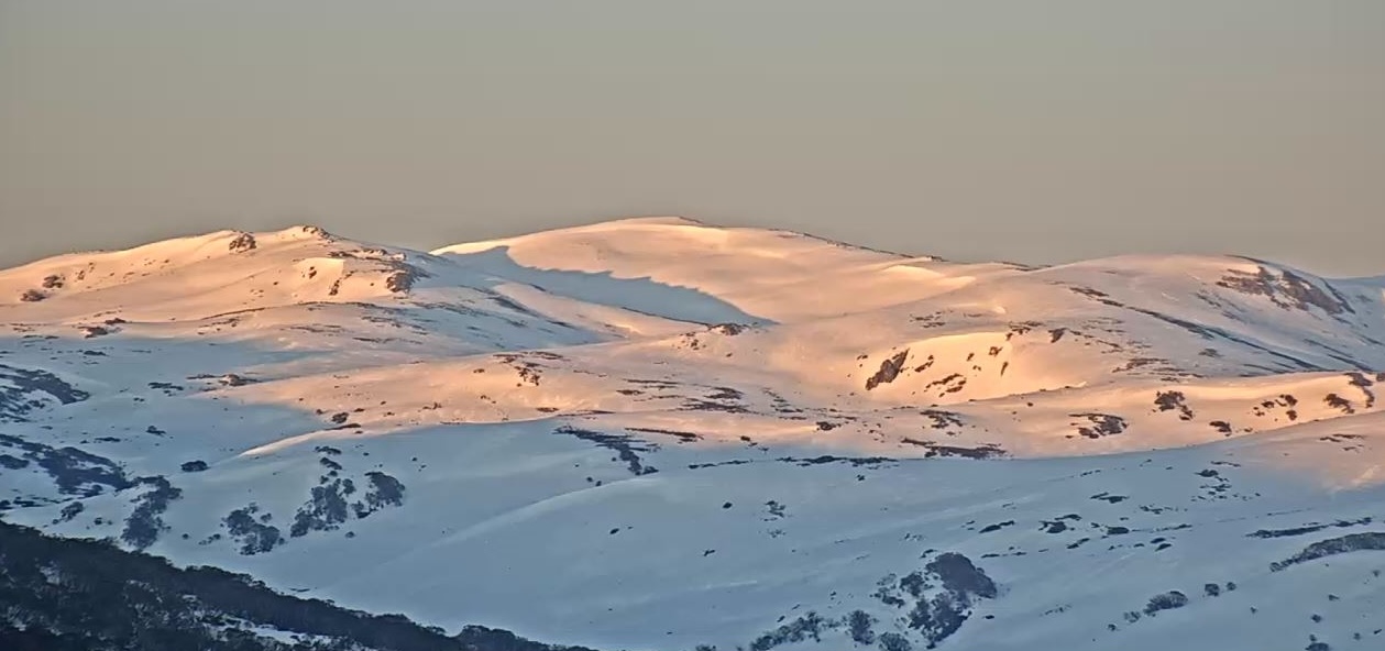
As we roll into the last couple of weeks of the official snow season, spring has been serving up some dynamic weather. The wind started picking up last Sunday under sunny skies and grew in strength on Monday as a new cold front approached. This saw a BOM Severe Weather Warning in place from Monday night and Tuesday as damaging winds and 50-90mm of prefrontal rain impacted the mountains. Temperatures fell just as this rain band passed, leaving the mountains with a few centimetres of snow above 1700m by Wednesday morning.
These types of wet spring storms followed by warm sunny days create a range of hazards to be aware of in the backcountry, including:
- Snow cover will be depleted, particularly at lower trailheads, exposed ridge tops and windward slopes, so be prepared for ‘vegetation navigation’.
- Cornices may collapse, so avoid travelling near their edge or underneath them.
- Loose wet avalanches may be released on steeper slopes. While these move more slowly than dry avalanches, they can still accumulate large amounts of debris.
- The snowpack can become isothermal – i.e. close to zero degree slush that is unsupportive to travel on, particularly without skis on.
- Buried hazards like rocks and logs start re-emerging, creeks flow strongly and snow bridges may have disappeared or may collapse when crossing them.
- Overnight refreezes will create an icy surface early in the day, so carry crampons as a standard addition to your spring touring kit.
Despite Friday morning’s sunny skies, as we move into the weekend a BOM Severe Weather Warning is back from lunchtime with damaging winds and heavy rain forecast through the night. Temperatures may drop just enough for some light snow up high on Saturday morning, but winds will remain strong and visibility limited until at least Monday.
Looking at the long range forecast, we may need to wait until early October before we see a more stable Spring weather pattern return to make the most of the excellent snow cover in the high alpine.
This will be the last weekly backcountry update for the season from Mountain Safety Collective as our reports will default to a Spring Conditions alert from next Monday. Thanks for following along!


