New Zealand Forecast Thursday August 13th – A Dusting for Canterbury, Then Beautiful, Clear Winter Days
Mountainwatch | The Grasshopper
Valid Thursday 13thAugust – Monday 17thAugust
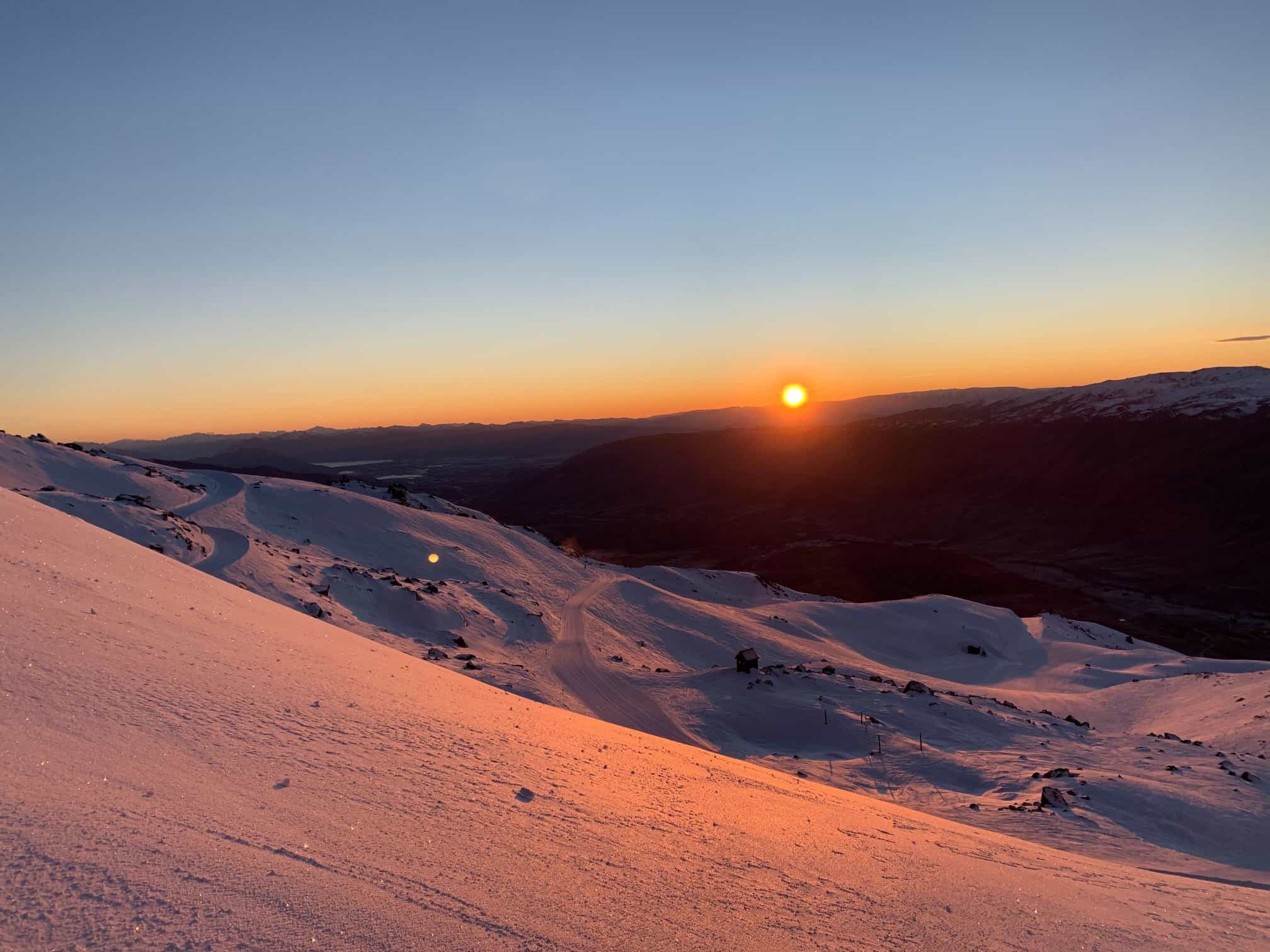
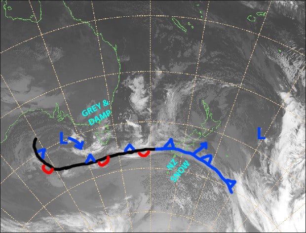
The tip of an icy cold front will brush the country today and give Canterbury a dusting of about 5-10cm later today and tonight, while the Southern Lakes resorts will be lucky to see a snowflake or two this morning.
A ridge of high pressure will clear things up nicely on Friday and keep skies clear for some beautiful winter days through the weekend and into Monday, with a tonne of snowmaking to be done.
Note: The detailed forecast below is for ski fields in Canterbury and the Southern Lakes.
Thursday 13th
Cloud about the Southern Lakes with a bit of blue sky thrown in, as well as a possible light snow flurry this morning. A clear start in Canterbury will make way for light snow this afternoon. Cold, light southerly breezes.
Friday 14th
Morning cloud clearing to a fine day. Light snow in Canterbury will clear before dawn. A cold, but light W-SW breeze.
Saturday 15th
A gloriously sunny day with a light W-SW breeze.
Sunday 16th
Wrap on some sunnies for another beautiful calm, clear winter’s day.
Monday 17th
Mostly sunny again. Calm to start, then a northerly breeze may kick in.
Extended Outlook
The next system from the west should start affecting the country from next Tuesday 18th, with strong N-NW winds and a mix of rain and snow before colder air hits next Friday 21stor Saturday 22nd. Potentially decent snowfalls are on the cards within a three or four day period, although details are foggy at this point.
A snowfall event at the end of the month, and another at the start of September also look likely.
That’s all from me today, guys.


