World Snow Wrap Feb 23rd, 2024 – An Early Spring in Japan and Europe, Mainly Dry in Canada But Plenty of Powder in the US
Mountainwatch | Reggae Elliss
The snow focus of the past two weeks has been the US where the Cascades, Rockies and Sierra ranges have seen regular storms. The has been a few light falls in Canada, mostly dry in Europe while in Japan it has been warm with a few intermittent storms but not the regular February powder we’ve come to expect.
USA
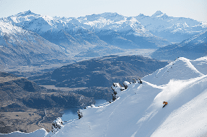
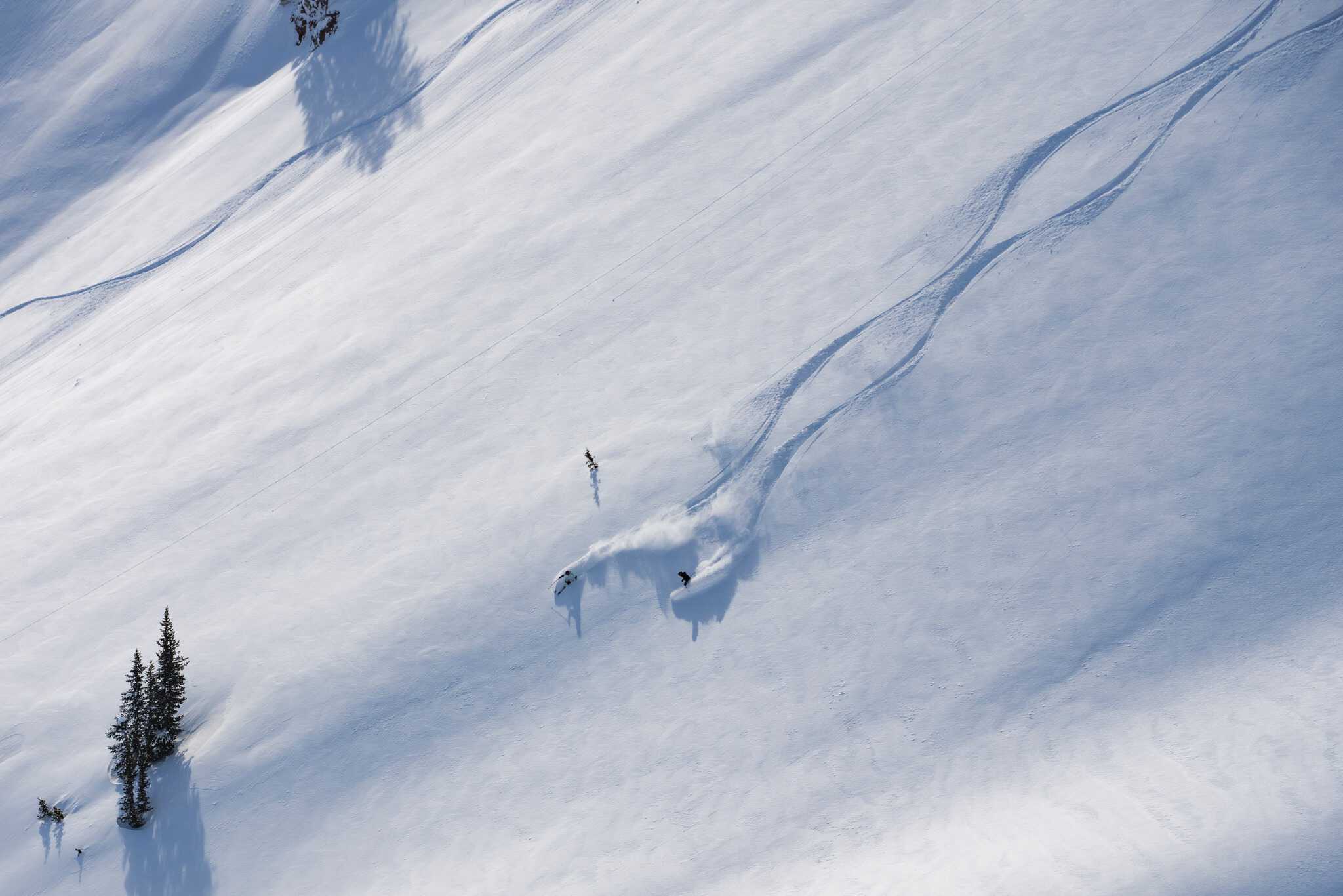
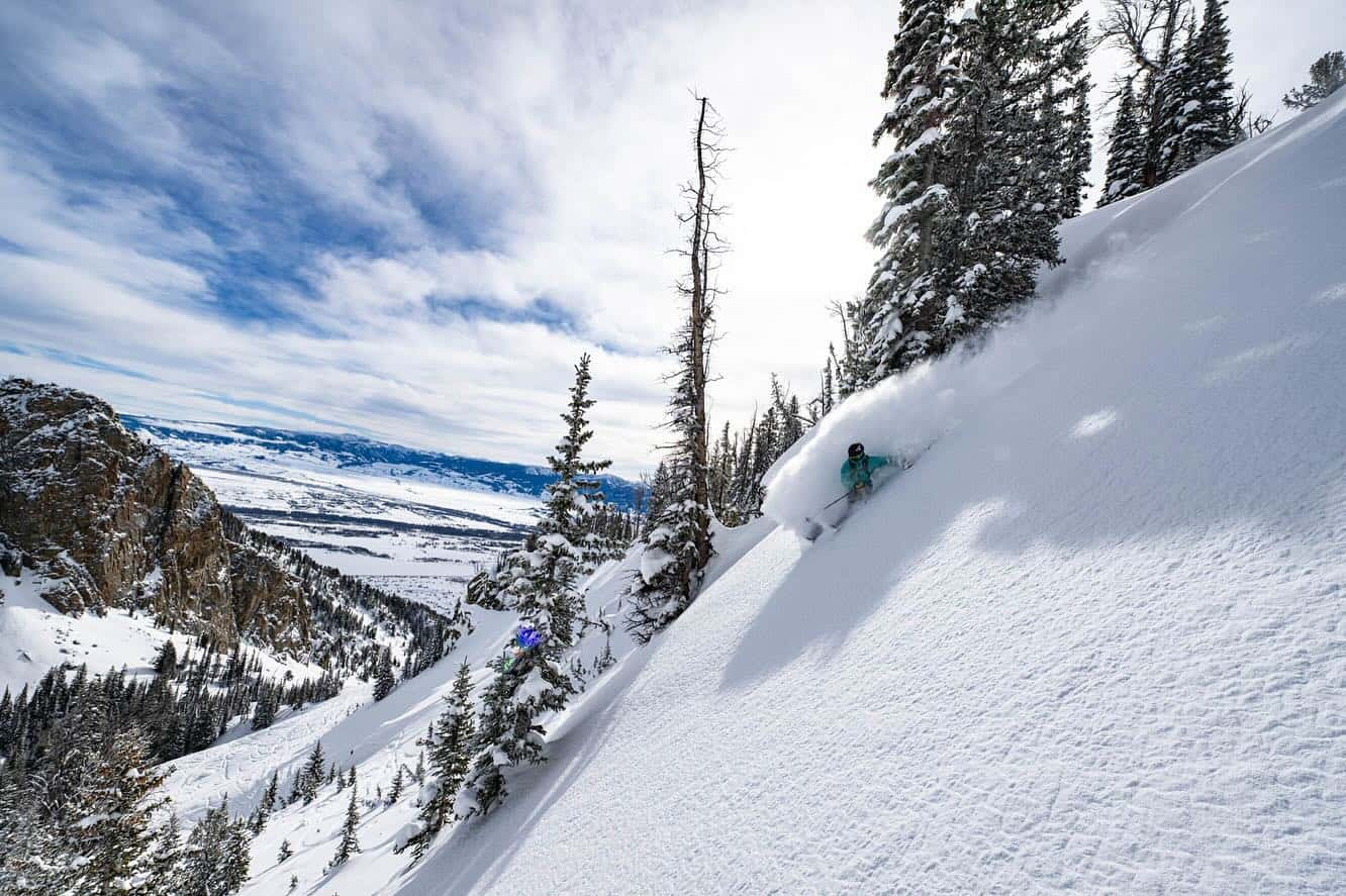
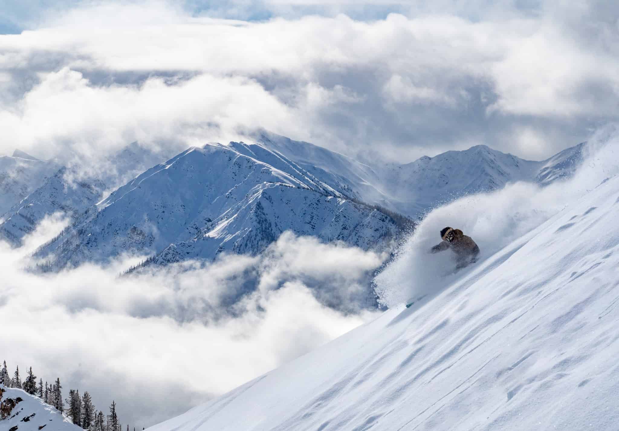
The past few weeks have been very good for many of the ski areas in the western US with consistent storms pushing season snow totals up to average after the slow start to the season. The past week continued that trend, California’s Sierra Range, the Rockies and Cascade all benefitting from solid storms which turned on some deep powder days – again. The snow totals are impressive, Mammoth Mountain receiving 127cms in the past 10 days, taking its February total to 337cms. There have been some great pow days in Utah, where Snowbird has received 147cms in the past 10 days while in Jackson Hole copped a healthy 125cms between Feb 13-17 followed by another 25cms earlier this week.
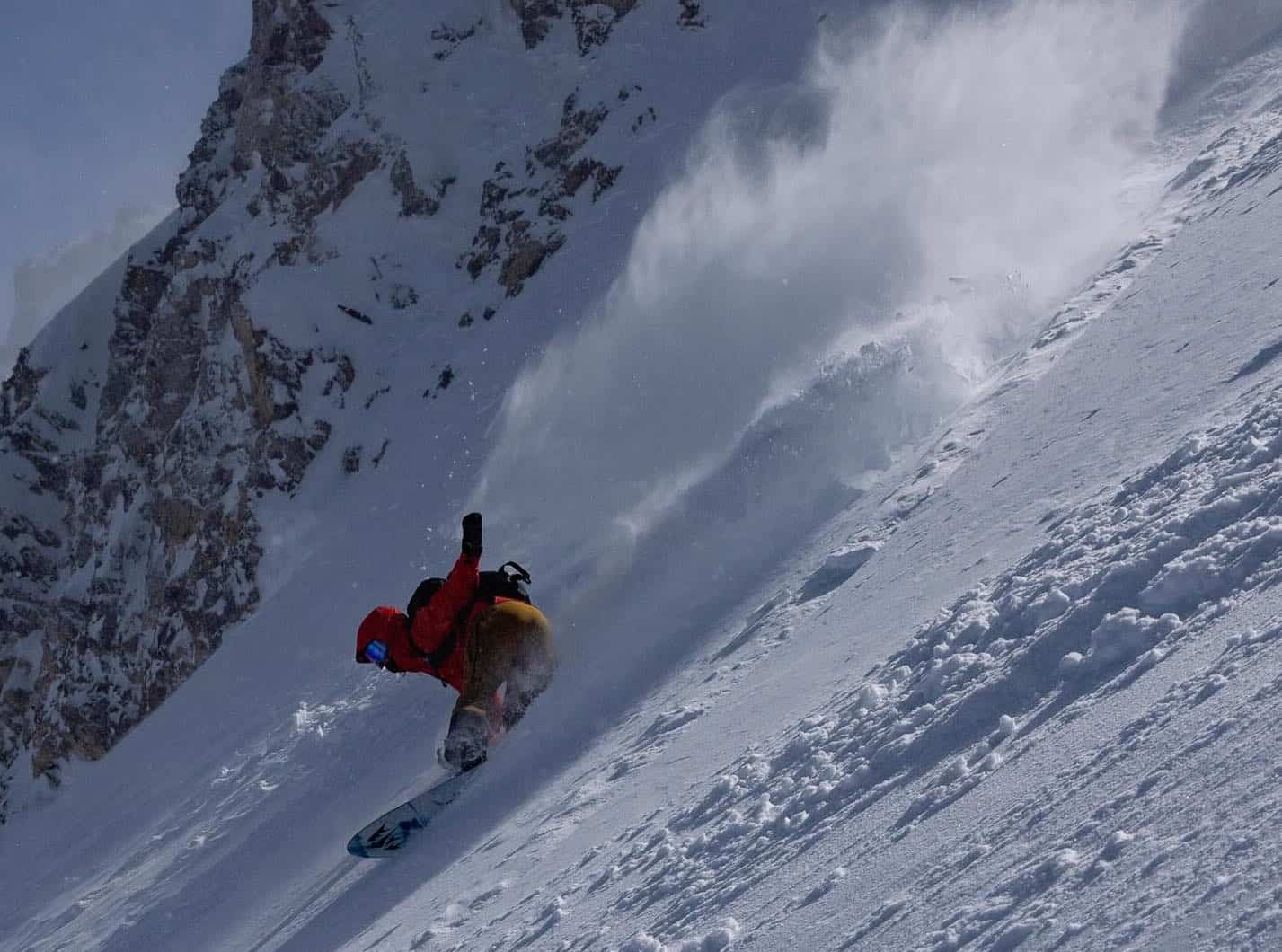
Given those totals it is fair to say the best powder skiing this month has been in the US and that trend is set to continue with another storm to move in from the north on Monday. It is looking like another good system, the Grasshopper writing in today’s North American forecast that we’ll see “moderate-heavy falls spreading into the central and southern Rockies, and lighter snowfall spreading through the Sierras.” At this stage the forecast snow totals are 50cms for the Utah resorts, 40cms for Aspen and 35cms for Mammoth.
Japan
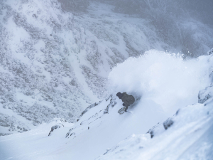
As pre-season outlooks indicated, El Nino has had an impact on Japan’s winter weather with below average snowfalls and above average temps for much of the past month. However there has also been a few snowfalls over the past two weeks, mostly in the 5-10cms range for Niseko while in Honshu, Hakuba had a couple of small 5cms top-ups since the last decent fall on Feb 11-12 when it received 25cms. It has been a slightly better story in Myoko which saw 25cms on Feb 11-12 followed 13cms on Feb 16 and another 15cm the past two nights.
The missing ingredient this month has been consistently cold weather with each storm followed by a run of warm weather. Last week is a good example, temps climbing to +10 in Niseko last Thursday while Honshu resorts recorded similar warm temps. There was also some rain in Hokkaido on Tuesday night while there was two days of rain in Honshu on Tuesday and Wednesday. Thankfully that all changed yesterday with colder temps and snow, some resorts in Niseko reporting 30cms at higher elevations in the past 24 hours while Furano is cold at -10 this morning but only received 6cm.
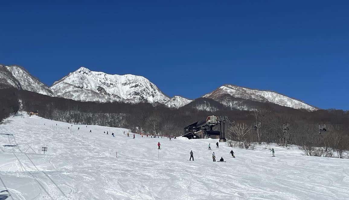
More snow should fall across Niseko and other resorts western Hokkaido into the weekend before clearing on Sunday, but temps next week will remain cold. Snow showers are clearing in Honshu today, but snow is forecast again from Sunday, with sub-zero temps and another 25-50cms expected over three days. The upper totals favour Myoko and Nozawa Onsen while Hakuba is looking good for 30+cms. Check the Grasshopper’s latest forecast for the details.
Canada
No doubt our friends in Canada have been watching the regular storms south of the border with a touch of envy as the below average season has continued in British Columbia and Alberta. It hasn’t been totally dry, as there have been a few small snowfalls, but Whistler Blackcomb’s monthly total is currently just 40cms, 10cms of that falling in the past two days.
Interior BC resorts have fared slightly better, Revelstoke with a February total of 60cms while Kicking Horse has a February total if just 30cms but did see a mid-week taste of fresh snow on Wednesday after 9cm overnight. It has even been dryer for the Alberta resorts, Lake Louise with a measly February total of 20cms while Mt Norquay has had 28cms.
However, there is finally cause for optimism with the next storm set to deliver for Canadian resorts with snow forecast over the weekend backed up by a stronger mid-week. This one is looking good, the Grasshopper writing in today’s forecast that “snowfalls still reaching up into the moderate-heavy intensities.”
British Columbia resorts should do well, the current models calling 70cms for Whistler Blackcomb, 41cms for Revelstoke while Kicking Horse should see 20-25cms by Wednesday with potential for a further 25cms by next weekend. Alberta resorts will also see such much-welcome snow and with 20cms forecast for Lake Louise and the Banff resorts across the weekend ahead of the mid-week storm which could drop another 25cms.
Hopefully this is the start of more frequent storms and a snowy March, which the Grasshopper mentions in his latest North American season outlook as real possibility as the current El Nino fades
Europe
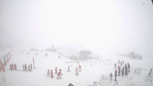
It has been mostly dry and mild in the Alps for most of February although some regions received light snowfalls last weekend. The milder temps have led to snow melt at lower resorts but most areas above 1800m still have a good base. While there are worst things to do than cruise the lengthy groomed runs Europe is known for and the weather has been perfect for lapping the terrain parks the lack of powder days is frustrating after the great start to the winter back in December.
The good news a change is happening with two storms set to drop good snow totals over the next week, the first of which is now underway. Widespread snow is forecast for both the Alps and the Pyrenees over the weekend ahead of second storm which will hit the Alps on Monday.
The expected totals from the first storm are solid, Val d’Isère is line for 25-30cms, Verbier 35-40cms, St Anton 40cms while in Italy, Cortina D’Ampezzo could see 70cms. Temperatures will also be much colder with a run of max temps below zero for many regions over then next week. Longer range models are also indicating the snowier weather may continue until next weekend.
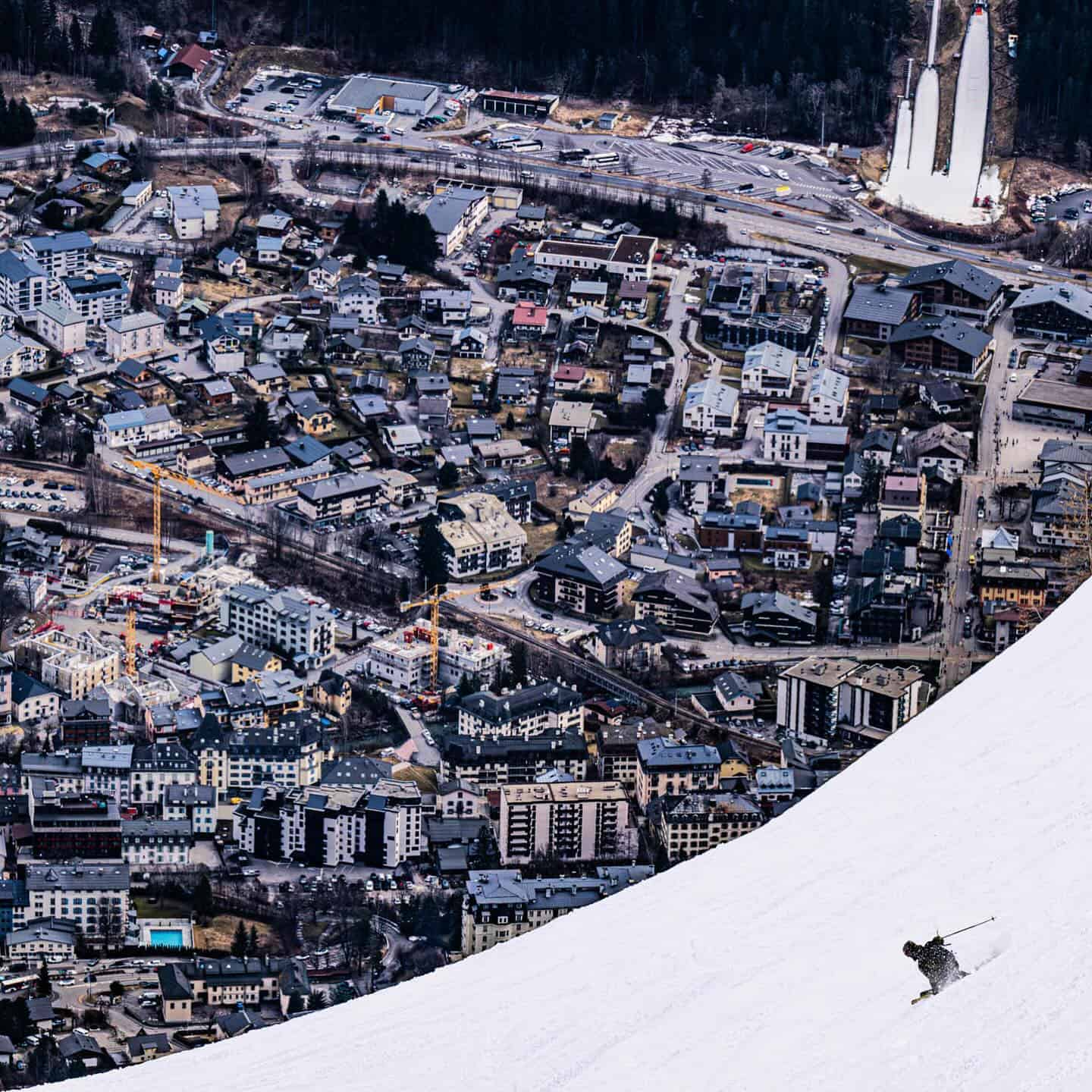
Where We Would Like to Be Next Week
That’s a hard one as snow is forecast for everywhere next week, but as we have to choose, let’s say the French Alps, maybe Chamonix as it is one of the world’s legendary resorts/towns. The terrain is spectacular, the food is great, the après is fun and there’s potential for over 50-60cms in the next five days.