World Snow Wrap, January 11 – Snowfalls continue in Europe, Canada, the US and, of course, Japan
Mountainwatch | Reggae Elliss
It has been snowing British Columbia, the western states of the US, Japan and Austria. More to come and much-needed snowfalls on the way for France.
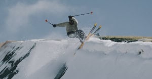
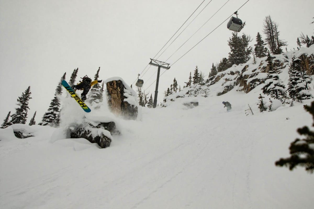
USA
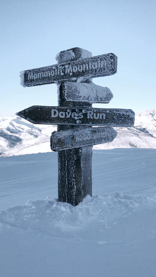
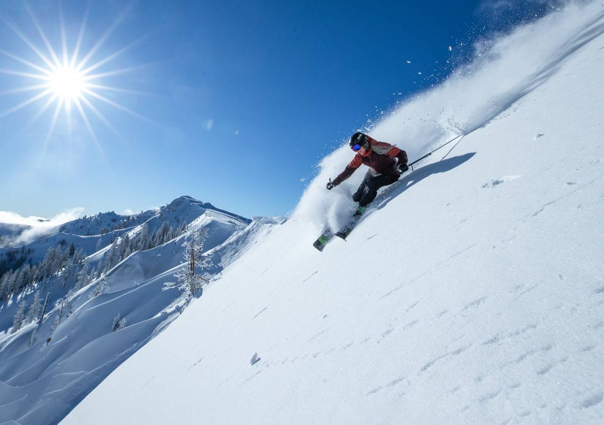
It has been a pretty good couple of weeks in the US western states with regular snowfalls in resorts in the Pacific north-west, Utah, Wyoming and Colorado. Last weekend saw some big snowfalls in the Californian Sierras with the Tahoe resorts and Mammoth receiving huge totals, Squaw Valley receiving a massive 122cms on the upper mountain in two days last Saturday and Sunday, although the upper lifts were on wind-hold at times. Mammoth also got the goods with a solid 167cms at the Summit in a week, taking the Summits season total to 4.8 metres.
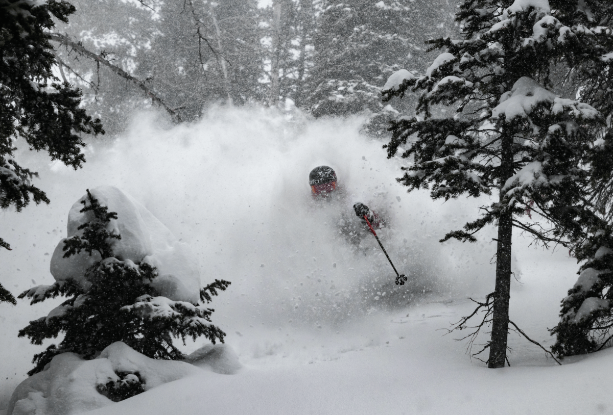
There were also good falls in Jackson Hole which received 64cms from Jan 5-7 and by all reports the snow was classic Jackson “Cowboy Powder”. Utah hasn’t missed out, Brighton and Snowbasin picking up 25-30cms overnight on January 6.
In Colorado, most resorts picked up decent snow totals last weekend and after a break over the past two to three days it looks like more snow for Colorado leading into the weekend. Another storm is due to hit the Sierras next week, although this one may be warmer, with 60-90cms feet on the upper mountains but there will be rain/sleet at times on the lowest slopes.
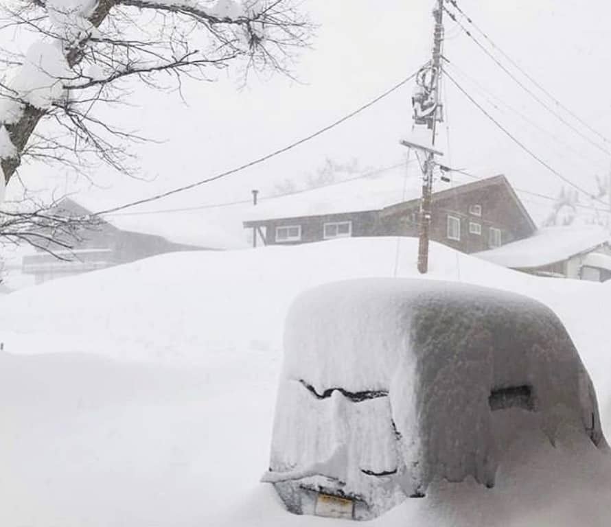
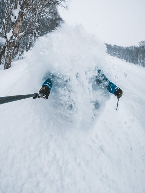
JAPAN
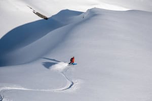
Well, Japan has been a great place to be for the past two weeks with all resorts receiving ridiculously good snowfalls. Myoko has really been living up to its reputation as one of the snowiest places in Japan, regularly receiving 20cms more than either Hakuba or Niseko. Our Myoko snow reporter, Joey Stanco is not one for hyperbole, but his report on Wednesday January 9, was indicative of what’s been going on:
“Ladies and gents mother nature has blessed us with her presence – in the town of Akakura/ Myoko 85cms of snow has fallen overnight! Today will be all time! Make sure you have your powder board/ ski, low light goggles, your Go Pro and your snorkel. “
Not that Hakuba or Niseko were missing out, with Niseko receiving 110cms in the past week while Hakuba wasn’t far behind. While everyone loves fresh powder a lot of people were happy to see the sun yesterday, particularly in Niseko where it hadn’t been spotted for three weeks. The Grasshopper is calling for the chance of sunshine again this weekend before the next storm moves in, with snow forecast next Tuesday and Wednesday.
CANADA
It has been a good month in Whistler and it is still happening with another 125cms in the past week, taking the season total to 681cms and the average base sits at 280cms. Snowfalls are set to continue with another 26cms over the few days ahead of sunshine early next week. Resorts further inland haven’t been getting the totals we’ve seen in Whistler and the Coast Mountains, but the interior BC resorts are doing okay, Revelstoke having good conditions now after 72cms in the past week while Kicking Horse received 69cms and its base now sits at 176cms.
After inconsistent snowfalls this season, the past week saw good snowfalls in the Banff resorts with Lake Louise getting 102cms in eight days. Not much snow in the forecast for the next week, but it will be typically cold with day time max temps down to -14 mid-week and minimums down to -20.
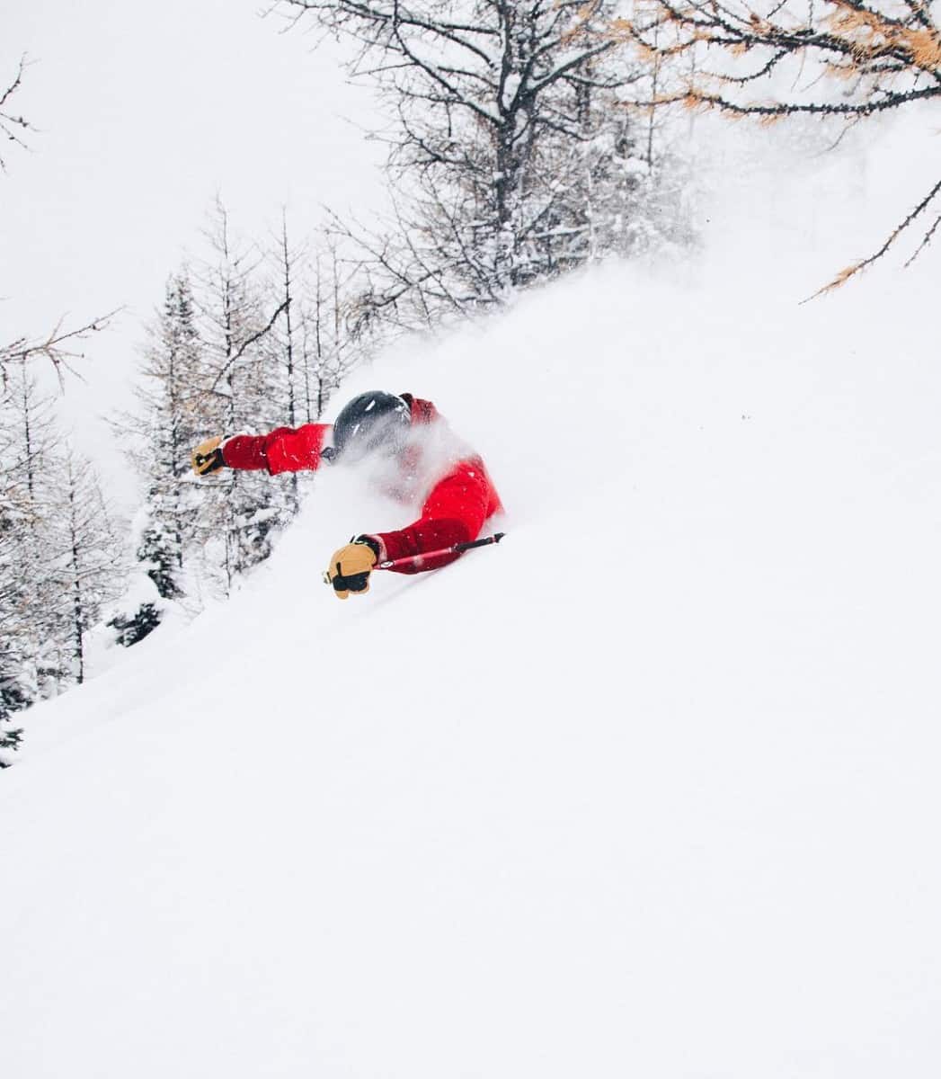
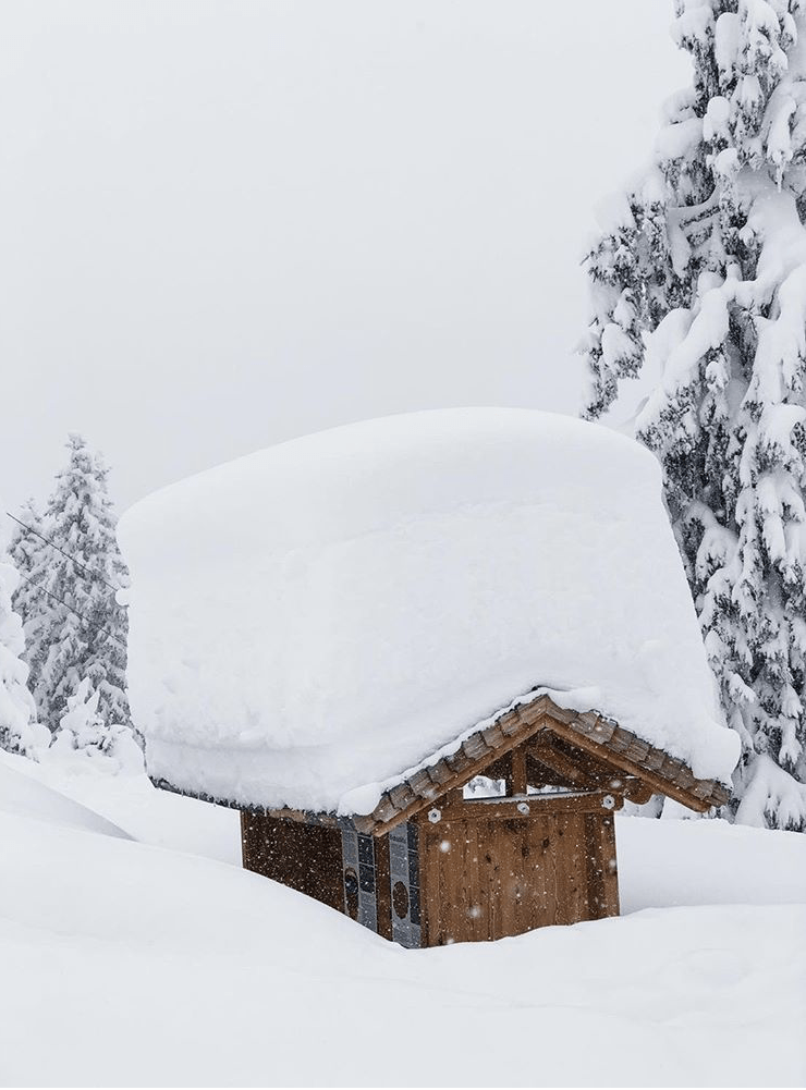
EUROPE
As we reported in our Austrian snow story on Wed, the snow has been pretty relentless in Austria over the past three weeks, particularly in the north where the snowfalls have been huge with extreme winter conditions at times. While there have been some spectacular powder days in some resorts the avalanche danger is very high or extreme. Tragically there have been a number of fatal avalanches and the avalanche danger has been raised to level 5 in the regions of Salzburgerland, Oberosterreich (Upper Austria) and Steiermark.
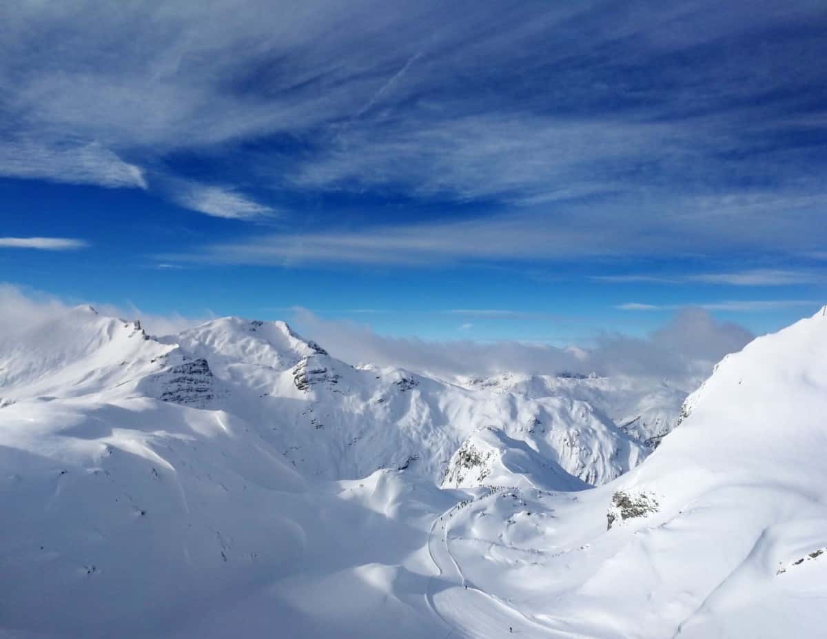
While Austria and resorts in the east of Switzerland have had plenty of snow, there has been an east/west divide with the Western Alps, Italy and the Pyrenees missing out with little snow in the past two weeks. It has been all about carving on the groomers in France, but there was finally some snow yesterday. The forecast is for more snow in Austria and the northern alps this weekend, but the good news is there should also be another decent fall for the French resorts, including Chamonix which could see 30-40cms.
WHERE WE WOULD LIKE TO BE THIS WEEK
Anywhere. Writing about all this snow is starting to send us stir crazy. Might be time to jump on a plane.