Storm Journal, July 19th-21st – Snowy, Windy and Much More Terrain Open
Mountainwatch | Reggae Elliss
There were a lot of happy people in the Australian resorts on the weekend, the storm that came through late Friday dropping an average of 50cms across the major resorts and we just had the two best days of the season.
There was a lot of anticipation about this storm, especially following last Monday night’s storm which dropped 25cms across the Victorian resorts, including a healthy 30cms at Mt Baw Baw. In NSW freezing levels were a little higher with 25cms above 1700m for Thredbo, Perisher and Charlottes Pass however Selwyn, located further north, was in the direct line of fire, reporting 30cms on Tuesday morning.
The Grasshopper first called the second storm in his forecast on Friday, July 12th and on Sunday July 14h, the models were calling 7-day totals of 50-70cms from the two storms. On Monday the Grasshopper was more conservative than the models, forecasting totals of around 45cms for the two storms, including 25cms for the first storm on its way that night. By Wednesday things were looking stronger for the second storm models, calling 50+cms and the Grasshopper writing that “a strong, cold front from the west will pass over us from late Friday through Saturday, bringing a rather heavy dump of powder.”
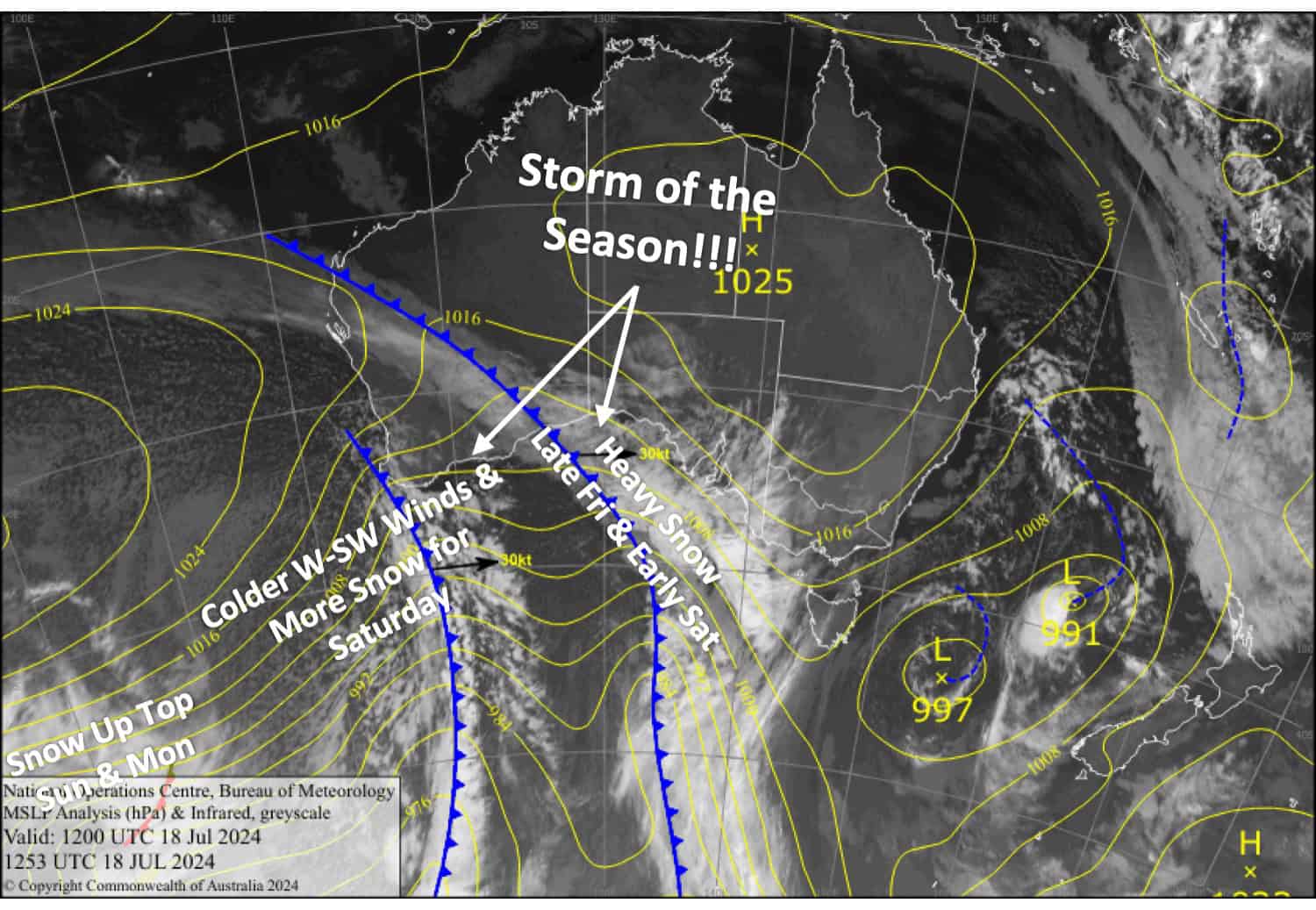
After a day of super strong winds reaching 126km/hr at Thredbo’s top station, the front finally hit on Friday night. Snowfalls intensified after midnight and on Saturday morning Perisher, Thredbo, Charlotte Pass and Hotham were reporting 25cms while Falls Creek received 33cms and Mt Buller 22cms and it was snowing hard.
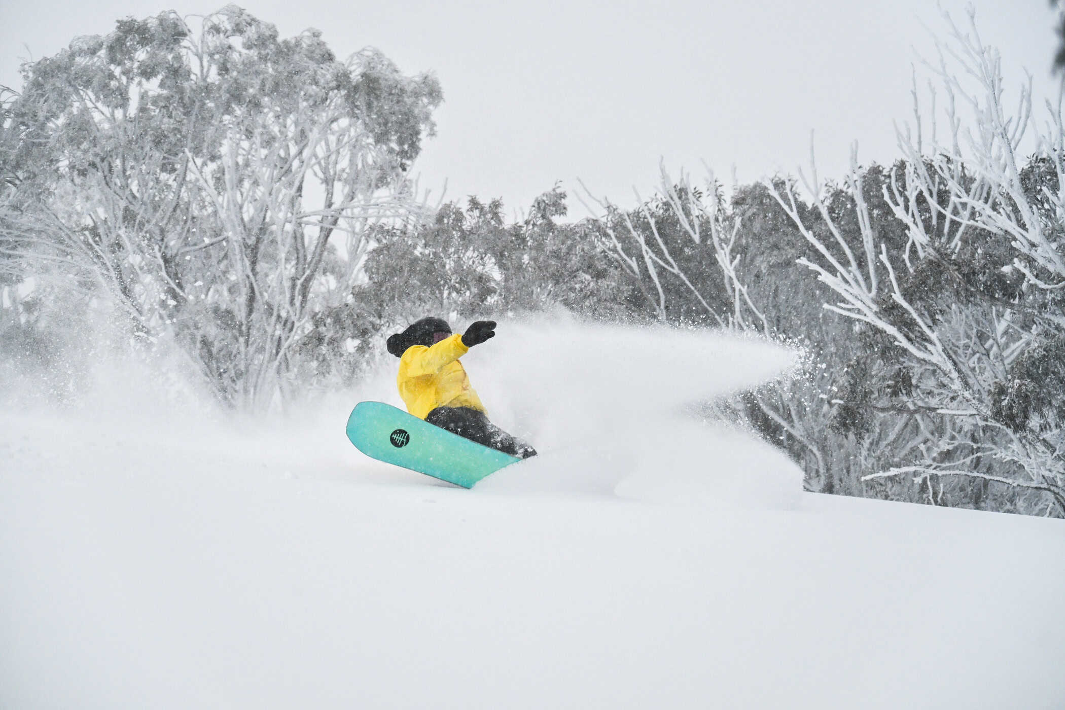
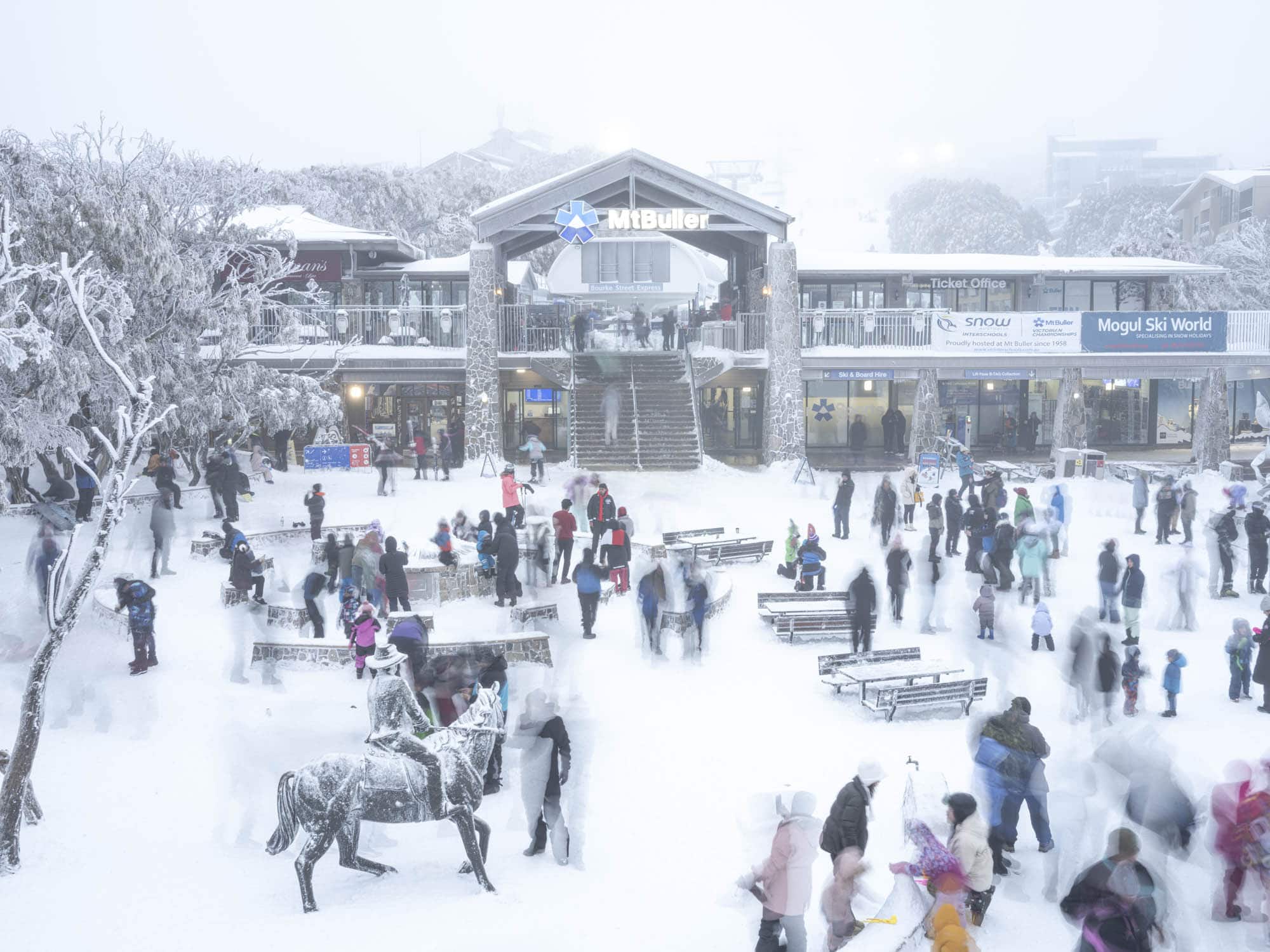
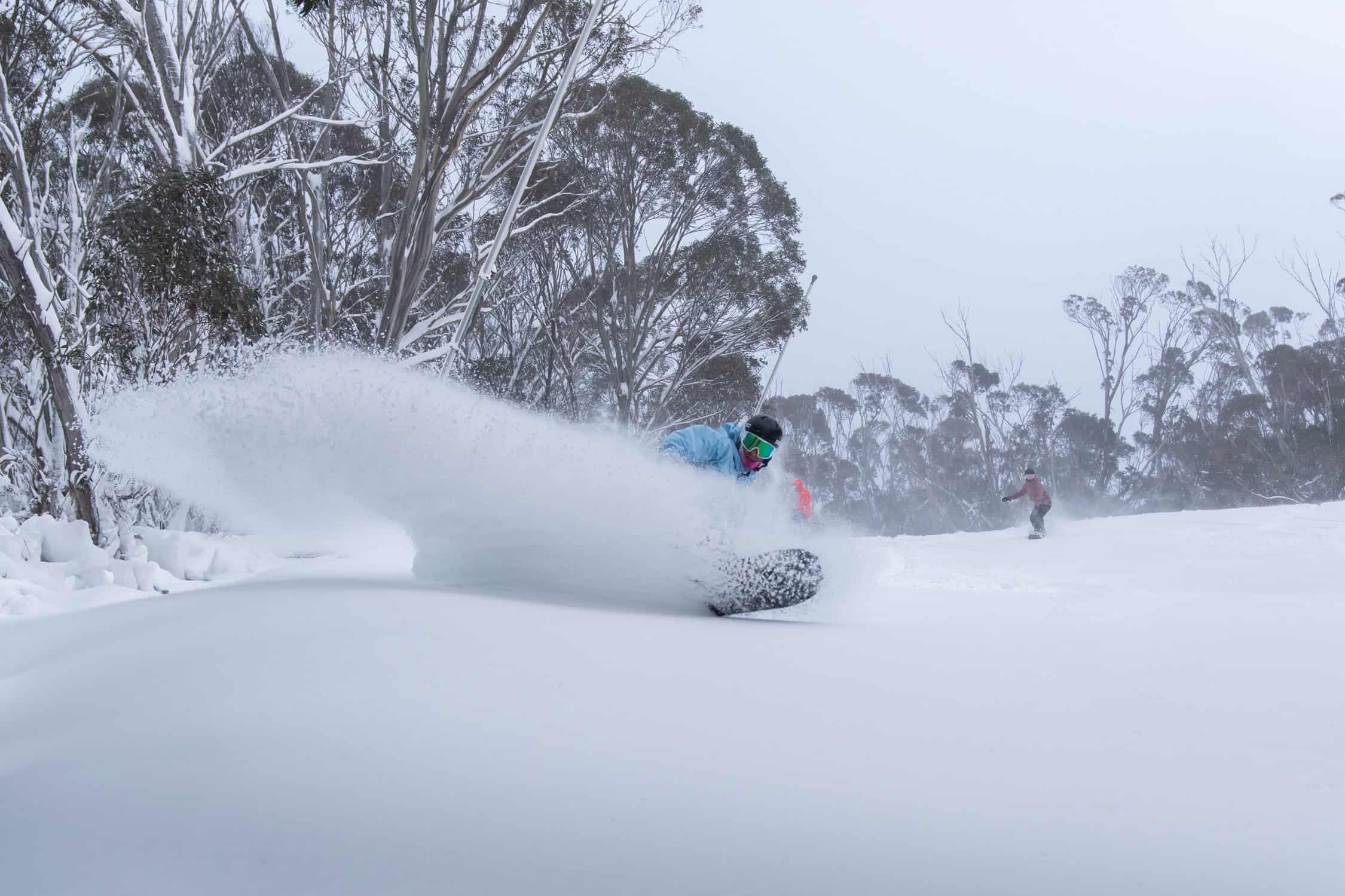
Snowfalls continued throughout the day and those who braved the stormy conditions were rewarded with constant refills and fresh powder turns all day. However, the strong winds accompanying the storm impacted lift operations with some chairlifts on wind-hold in most resorts. Low level snow also caused a bit of chaos on the road, particularly in the NSW resorts and school holiday crowds and hundreds of sightseers lead to road closures and “house full” signs at Perisher and Thredbo.
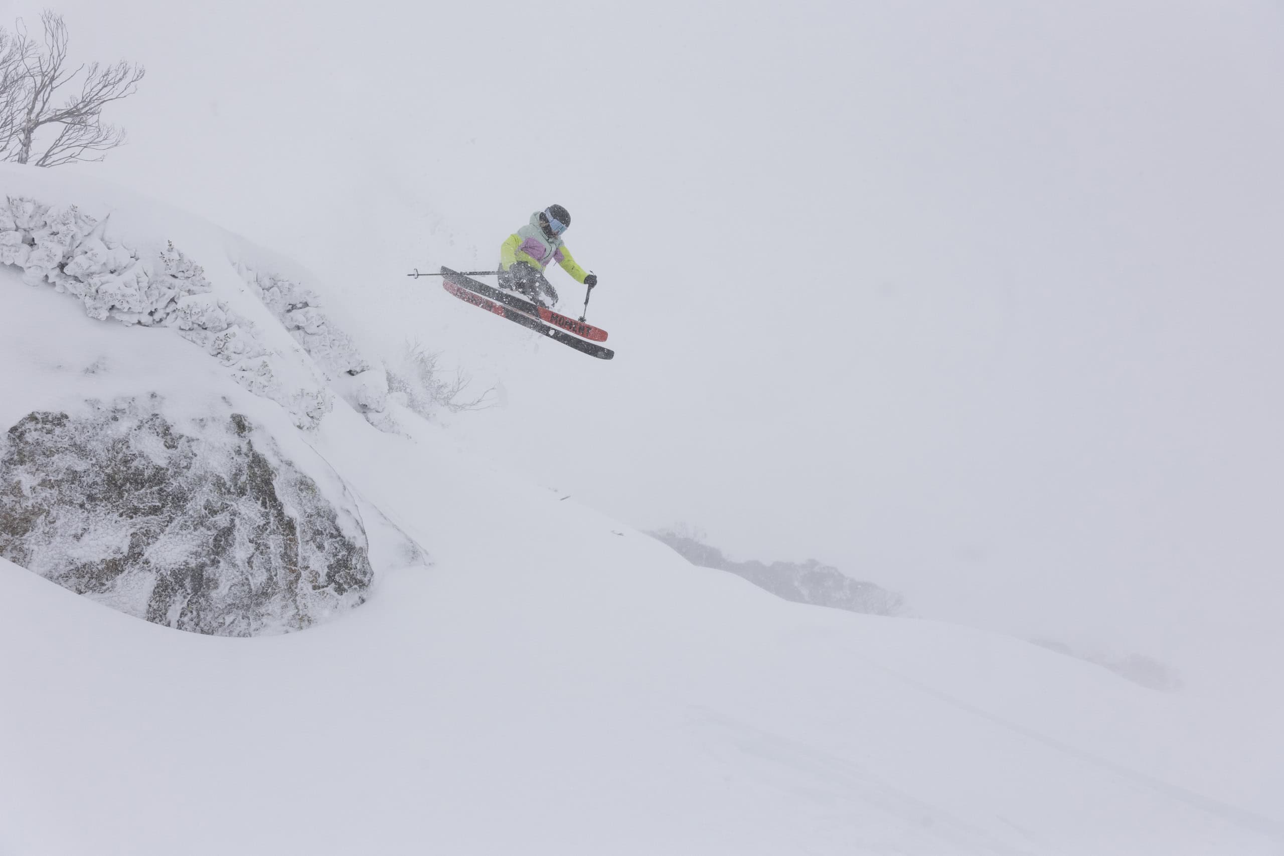
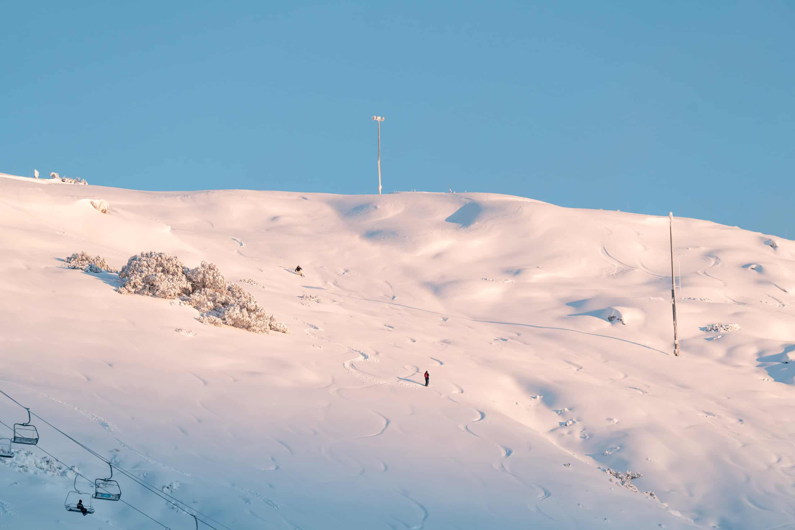
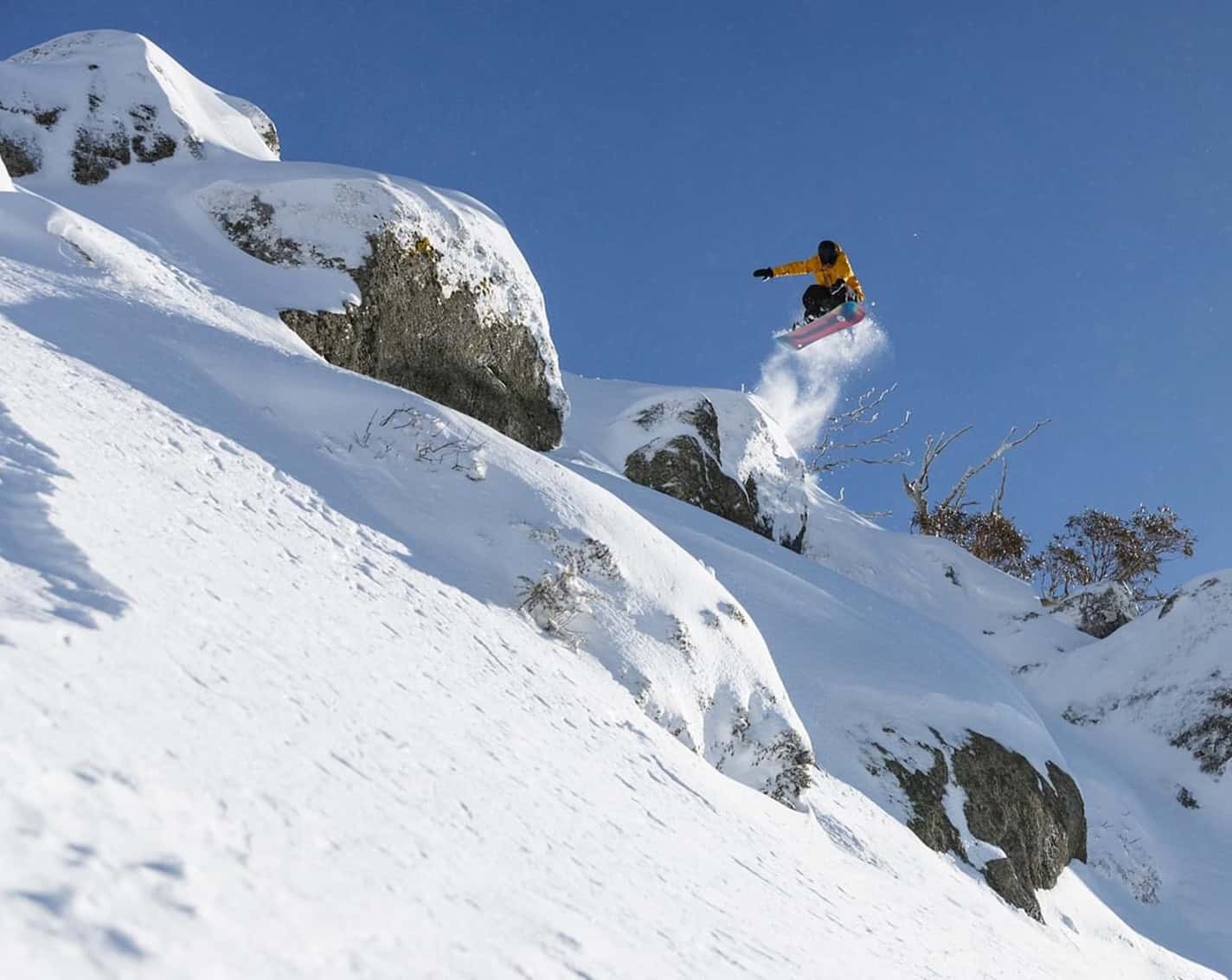
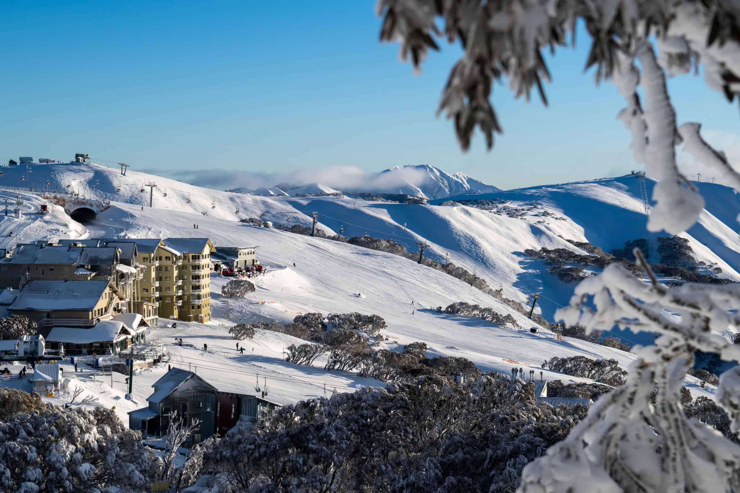
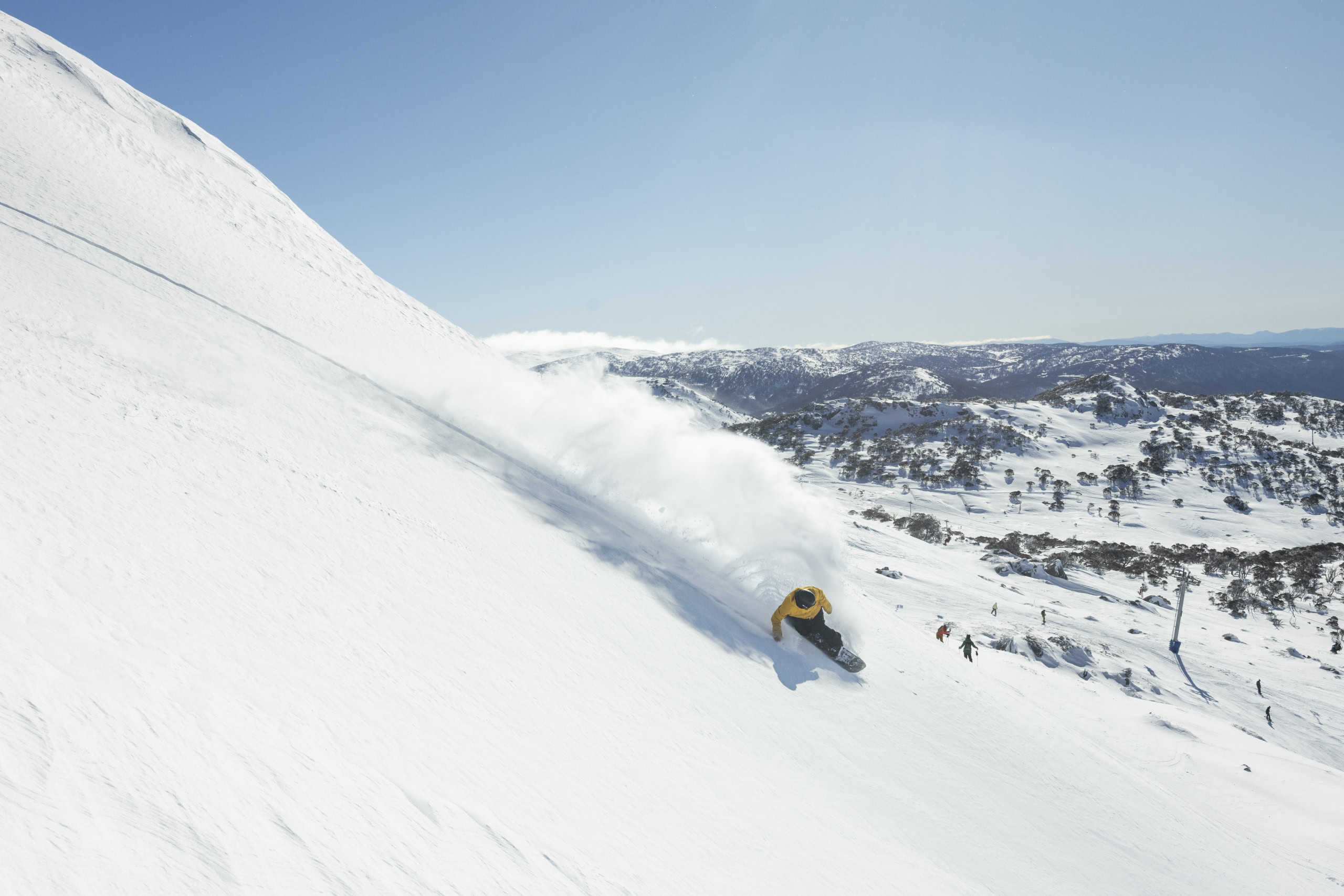
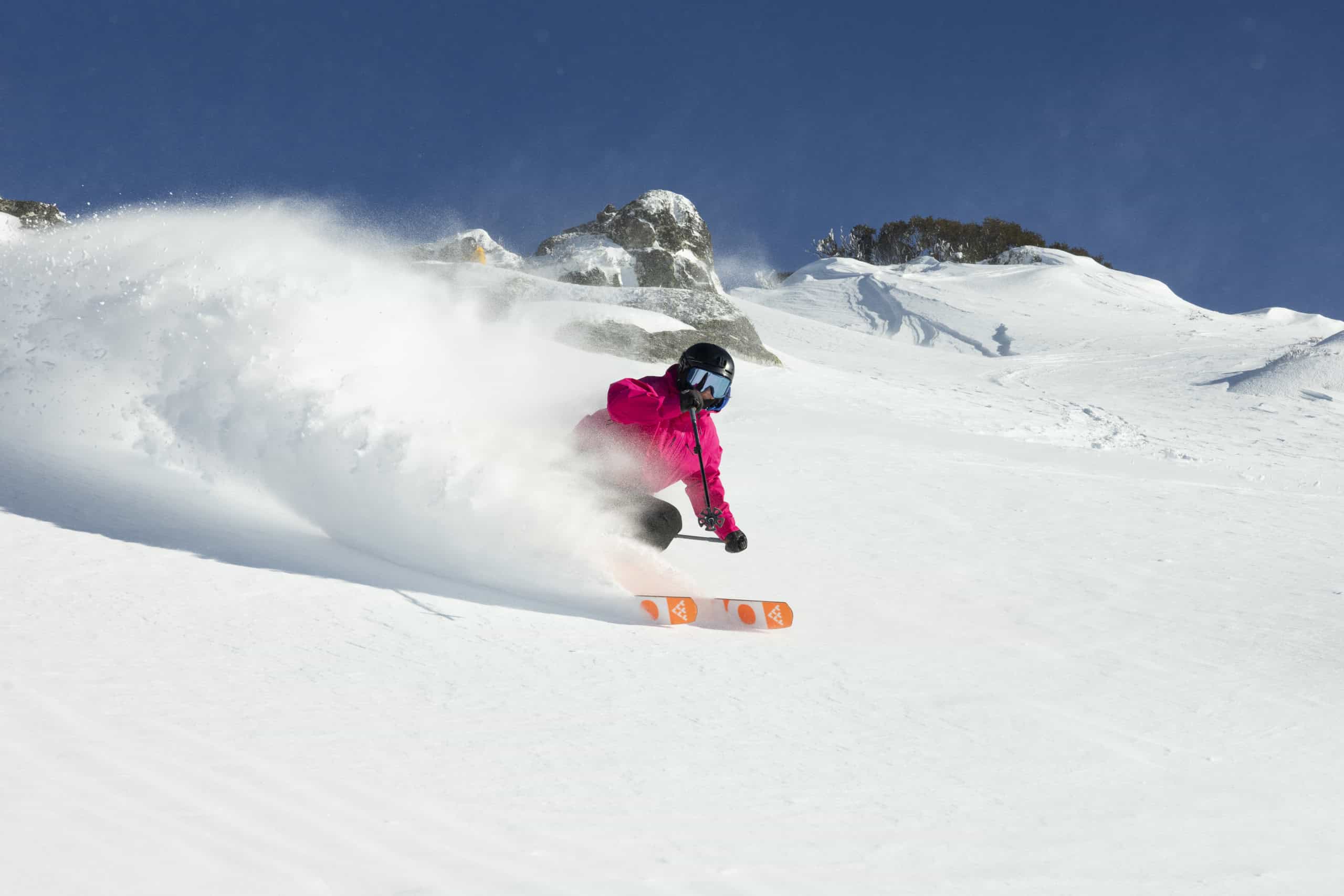
The snow eased on Saturday night and the weather had cleared by the time lifts opened yesterday, turning on a rare bluebird powder day. Once again, the 24-hour snow totals were solid – Perisher and Charlotte Pass reporting 25cms, Thredbo 33cms (at 1700m), Falls Creek 20cms, Buller 22cms and Hotham 16cms.
It was one of those days that gets the heart pumping and the stoke flowing, Layla Lee describing it in our in her Falls Creek snow report as “the kind of day dreams are made of. We had another 20cm of snow through yesterday and last might and we’ve woken up to a perfect blue bird.”
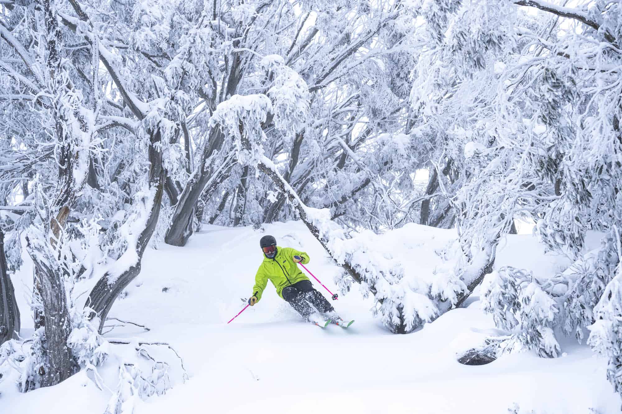
However, the wind was still pretty strong and again there was initial wind-hold, but some of those chairs did open later as winds eased a little and by late morning most of the open terrain was accessible. Although the snow was lighter on Saturday during the storm Sunday was a very good day, a mix of fresh snow and wind-blown powder creating some great conditions.
The seven-day snow totals in the resorts from the past week are 45-79cms, Falls Creek and Hotham at the top of the range. More lifts and terrain open in all resorts with close 80% of terrain open, a big turnaround from last week. After some rain last night we’ll see partly cloudy weather tomorrow with strengthening winds on Wednesday. The next round of snow may be later in the week, the Grasshopper’s forecast today calling a mix of rain and high-level snow on Thursday with the chance of a colder front and snow on the weekend.
Check his forecasts to stay up to date with that one and get an accurate rundown of daily snow conditions through our independent on the ground snow reporters.
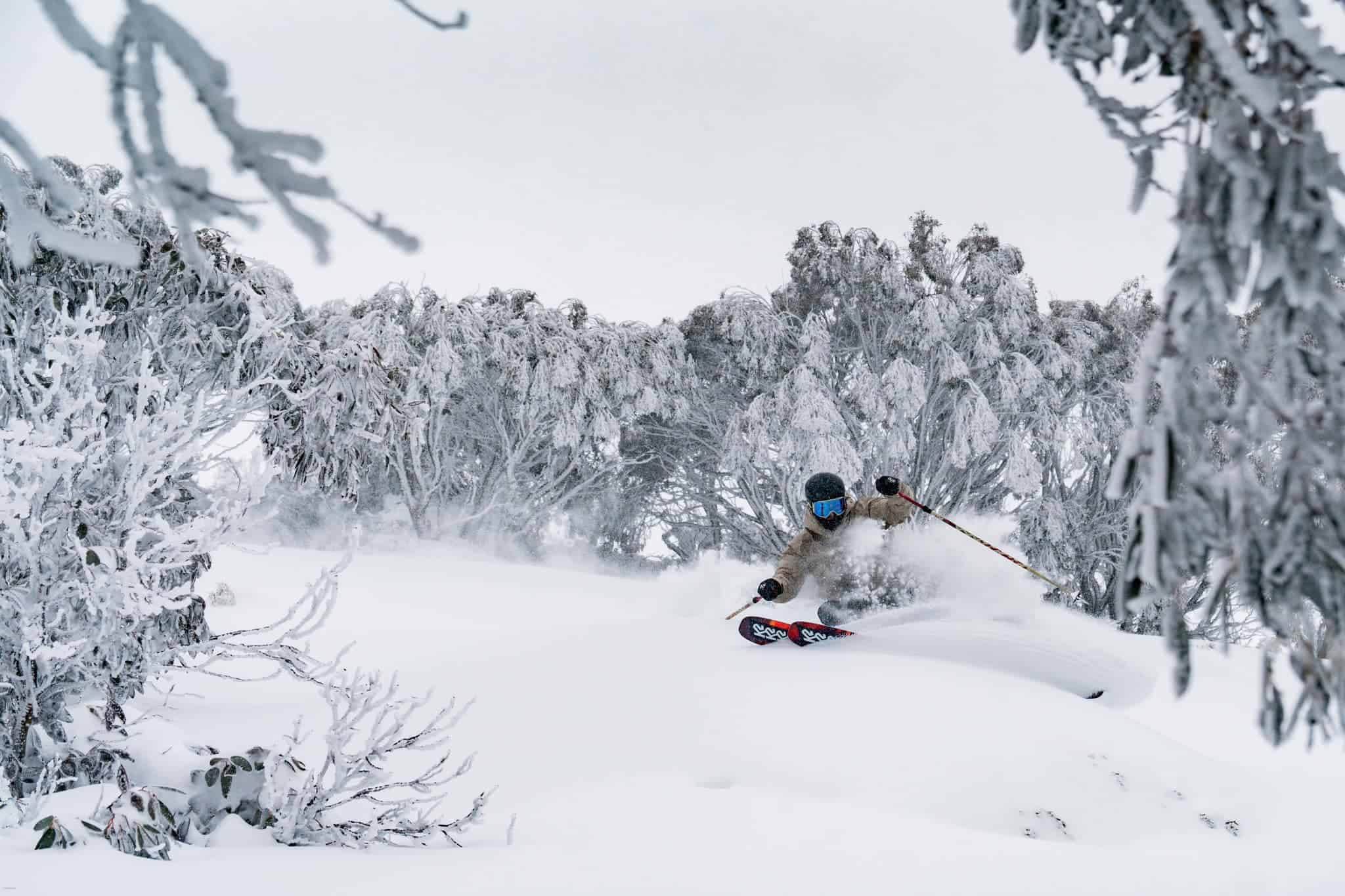
In the meantime, here’s some photos from the weekend to get you psyched for the next storm.