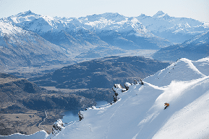
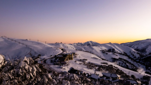
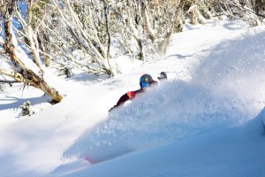
Australian Forecast – Pair of Fronts to Deliver Boot-to-Knee Deep Powder
Published early Monday, 7th July 2025
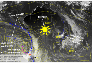
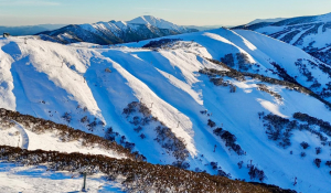
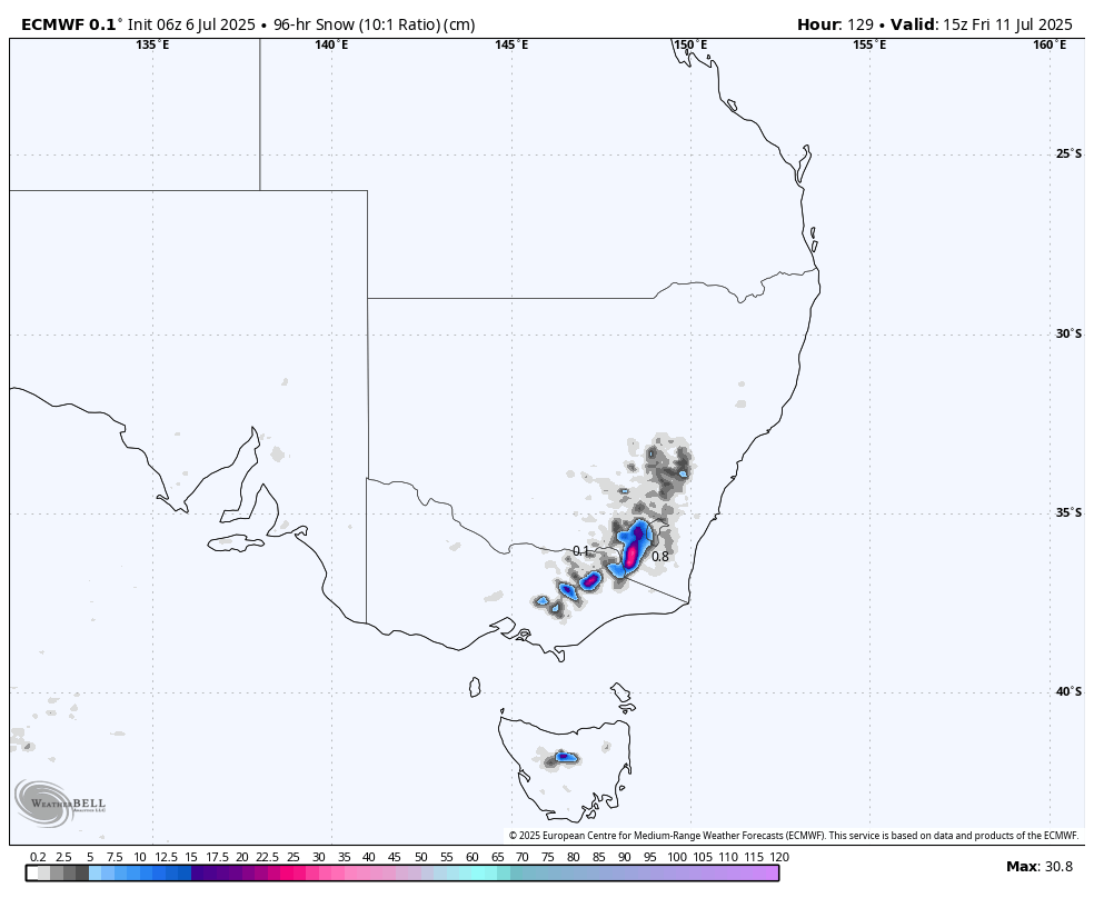
We’ve got nice weather lined up for today as we keep our eyes fixed on the long-awaited snowstorm approaching from the west. The storm will see snow falling from Tuesday into Friday, dumping between 25-40cm in the Aussie Alps, with up to 50+ cms possible at high elevations. Strong northwest winds will also see additional snow stripped from the windward side and deposited into pockets of the upper slopes. The storm will involve two fronts, and most of the snowfall will come as they pass over late Tuesday and Thursday, with the latter being the stronger of the two.
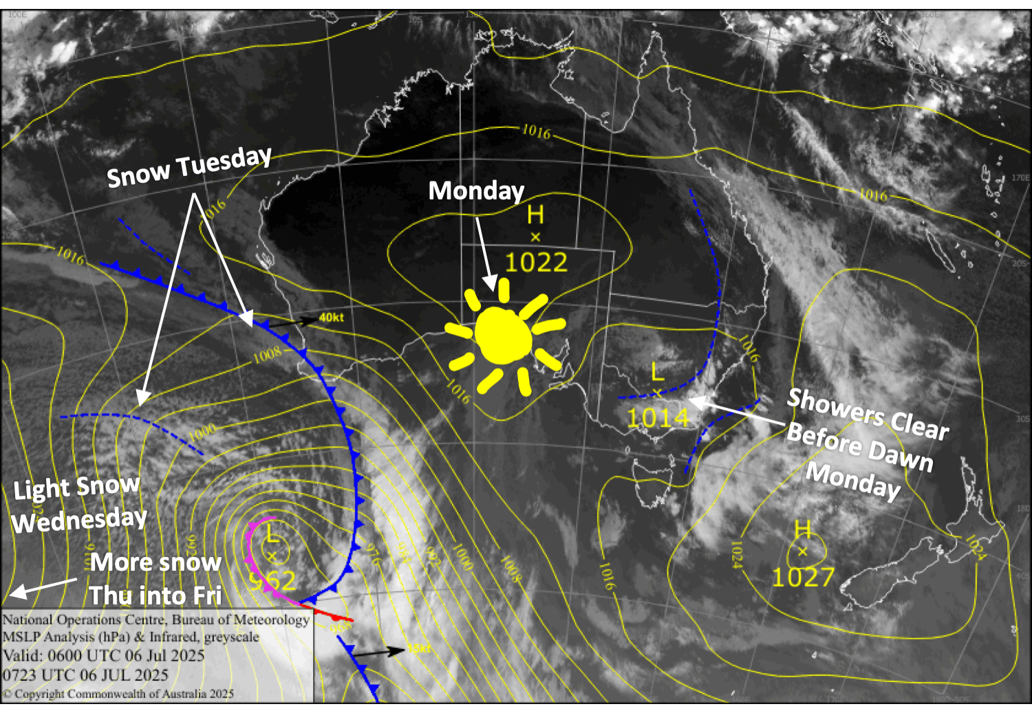
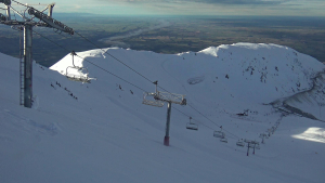
Monday 7th July
Remaining cloud about New South Wales will clear by opening time, but cloud will start to build throughout the Aussie Alps towards closing time. Southerly winds gradually ease and then turn northwest.
Tuesday 8th July
Snow showers above about 1600m spread eastwards across Victoria during the morning and New South Wales in the afternoon as northerly winds rise to gale in exposed areas. A period of heavier, more persistent snowfall will follow later, as snow levels start to lower, reaching 1300m or less before snowfall dries up at night.
Wednesday 9th July
Just cloudy to start, but light snowfall/flurries will gradually build and become more widespread throughout the day as brisk northwesterlies turn northwards. Heavier snowfall develops at night.
Thursday 10th July
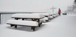
Powder day Alert! Snow will fall heavily before gradually easing from the west during the latter half of the day as strong northwest winds turn southwest, and then it’ll dry up at night. Come prepared for blizzard conditions and you’ll score some goodies.
Friday 11th July
Cloudy with light snow showers/flurries, predominantly in the west, eventually turning wet at low elevations. Strong, gusty west to southwest winds.
Extended Forecast
The Southern Ocean will remain stacked with mobile storms quickly moving eastward during the following week or so. From Sunday onwards, several of these passing storms are expected to bring cold fronts and shots of powder to the Aussie Alps every couple or few days.
That’s all from me today, folks. I’m sending out these forecasts every Monday, Wednesday and Friday throughout the season. Have a great couple of days, and I’ll see you back here on Wednesday.
Grasshopper