Australian Forecast – A Wee Powder Boost for Perisher Before Spring Cranks Up the Sunshine
Published early Wednesday, 16th September 2026
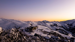
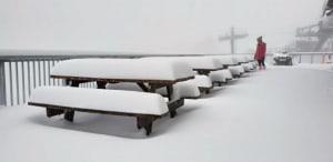
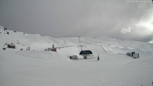
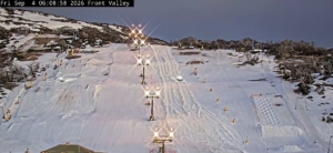
The snow arrived right on cue yesterday evening, Tuesday, delivering a wee powder top-up of around 4cm on Perisher’s snow stake. It’s a little more than forecast, which is nice for a change, and the snowmakers made the most of the freezing temps, the snow guns adding an extra layer to it all.
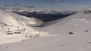
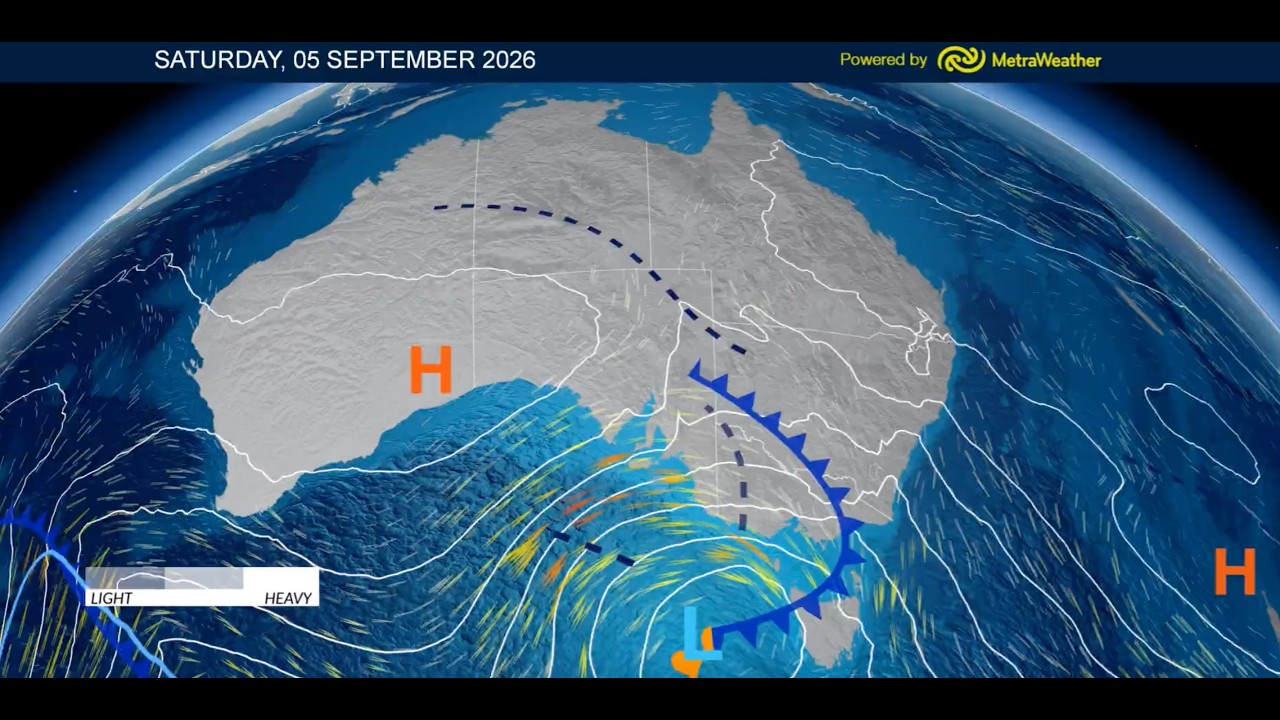
Only Perisher remains open after Thredbo called it a season on Sunday. Morning cloud will clear for a mint afternoon today, Wednesday, before high pressure takes charge and dishes up a run of beautiful spring weather.
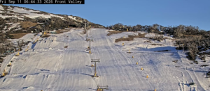
Thursday through Saturday will be mostly clear, sunny and increasingly warm, although there could be another couple of opportunities for the snow guns to fire up overnight. Sunday stays sunny, but strengthening hair-dryer northwesterlies will start nibbling away at Perisher’s already lean snowpack.
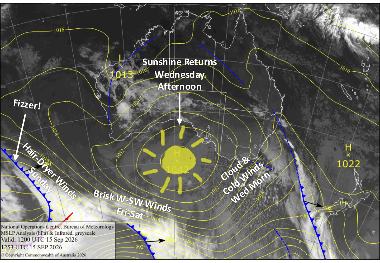
Wednesday 15th September
Strong, cold southerlies will push in some morning cloud, but snow flurries to the south won’t quite reach Perisher. Skies will then clear for a mint afternoon as wind backs off. The snow guns will add even more man-made snow on top of last night’s natural powder early in the morning and again overnight.
Thursday 16th September
A blue dome corker as southerlies gradually die away. The snow guns may fire up again overnight with possible snowmaking conditions.
Friday 15th September
Another beautiful, warm, sunny day with a little high cloud as westerly breezes pick up. Possible snowmaking conditions again overnight.
Saturday 16th September
Nice, warm, and sunny with a brisk southwester about the upper slopes.
Sunday 17th September
Clear and sunny again with warm, hair-dryer northwesterlies strengthening, taking a wee nibble at the depleting snowpack.
Extended Forecast
High pressure drifting past will keep things fine and settled early next week, before a weak storm system likely brings rain showers on Thursday and Friday, the 24th and 25th September.
A stronger system could then deliver a more sizable bout of rain on the weekend of the 26th and 27th, along with strong hairdryer northwesterlies. There’s still plenty of uncertainty this far out, but if it comes off, it could deal a heavy blow to whatever’s left of Perisher’s snowpack.
That’s all from me today, folks. I’m firing out these forecasts every Monday, Wednesday and Friday for the rest of the season. Have a great couple of days, and I’ll see you back here Friday.
Grasshopper