New Zealand Forecast – A Nice Run of Clear Winter Days Ahead
Published early Friday, 22nd August 2025
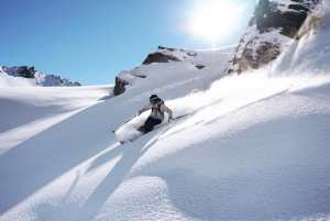
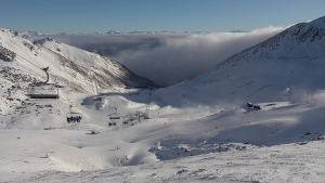
NZ is humming after an icy-cold southerly blast laid down a fresh blanket of 10-25cm of high-quality powder over most ski fields. Mt Lyford and Turoa bore the brunt of the storm and have topped the charts with 45cm and 50cm totals, respectively.
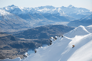
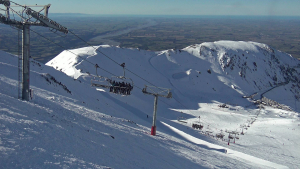
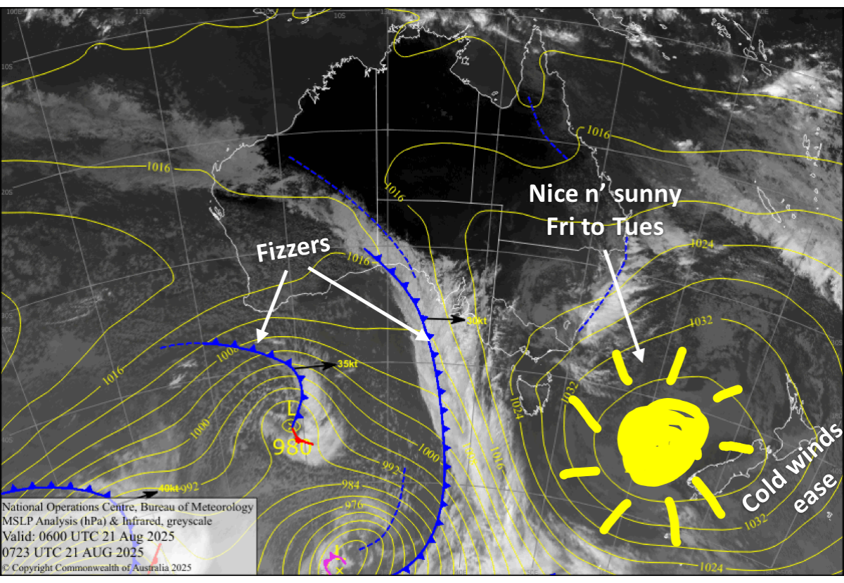
South Island ski fields can now sit back and reap the rewards as a big high-pressure cell moves over the country, bringing beautiful, clear winter days from now till Monday. Winds will be light, and frosty overnight temps will allow the snow guns to keep the groomers in good nick. On Tuesday, northwesterlies pick up, signalling that the settled spell is ending and unsettled weather is coming.
In the north, Mt Ruapehu won’t be too bad either, with a mix of sunshine, cloud and the odd snow flurry or shower expected each day as cold southeast winds turn northeast this weekend.
Friday 22nd August
A stunning, clear winter’s day, while cold southerly breezes drop away.
Saturday 23rd August
Clear, sunny and calm with a frosty start for South Island ski fields.
Sunday 24th August
Another stellar day for South Island ski fields with clear, sunny skies, light winds and a frosty start.
Monday 25th August
Another fine day for South Island ski fields with some high cloud overhead, while light northwest breezes develop.
Tuesday 26th August
Fine with high cloud again as northwest winds pick up.
Extended Forecast
This nice settled spell is expected to end around the middle of next week as the next storm cycle gets underway, potentially lasting through to early the following week – the first few days of September. There’s a lot going on, and snow levels are expected to jump around a fair bit as a whole swag of storm systems sweep over the country, bringing bouts of rain, snow and strong winds.
Models are more aligned compared to earlier forecasts and suggest snow accumulations during this period could be significant. It’ll be a great boost for the tail end of the season, but we’ll have to wait closer to the time before locking it in, as models tend to get carried away this far out.
That’s all from me today, folks. I’m sending out these forecasts every Monday, Wednesday and Friday throughout the season. Have a great weekend, and I’ll see you back here on Monday.
Grasshopper