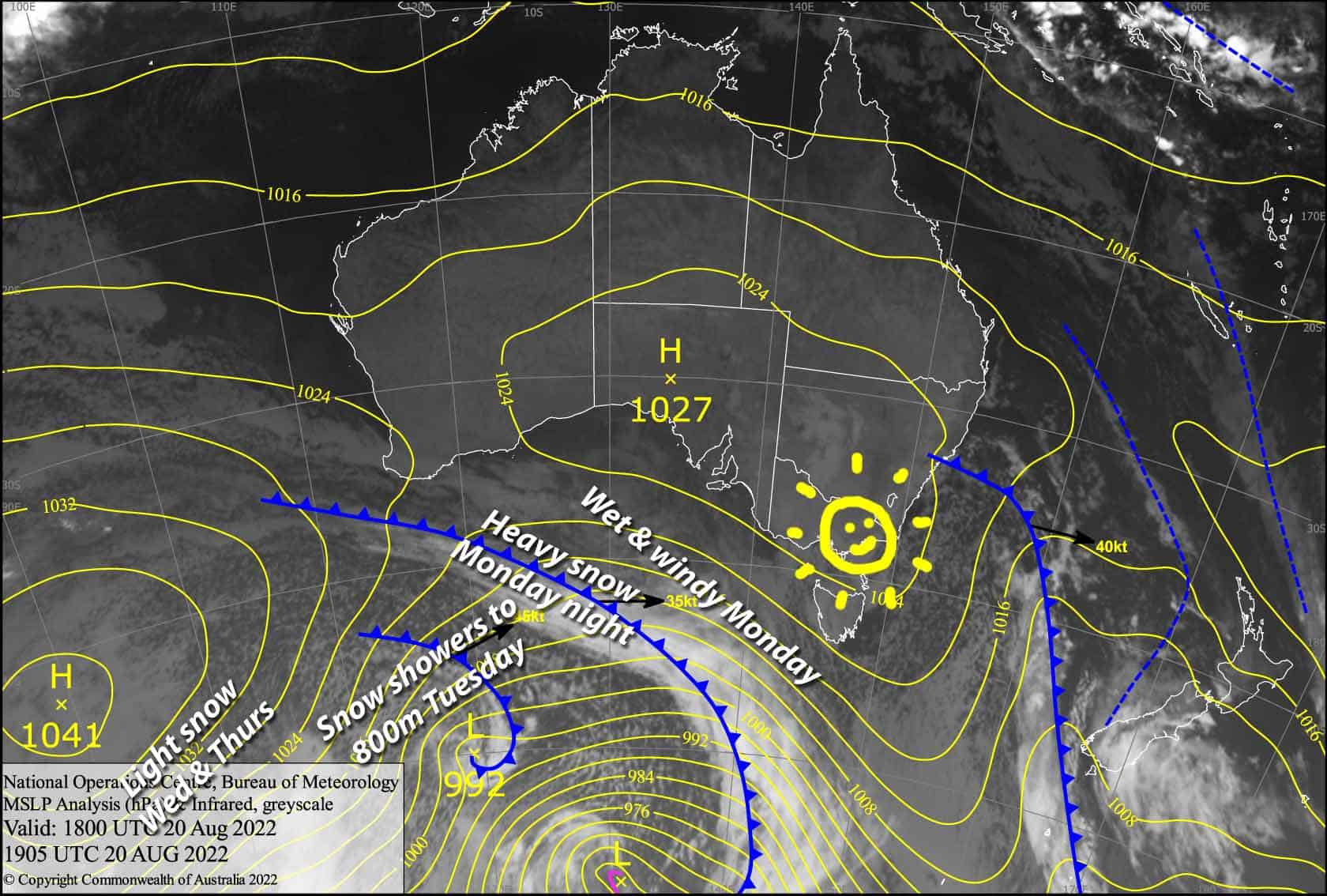
Australian Forecast – Cold Front to Dump 10-25cm Late Monday and Early Tuesday
Mountainwatch | The Grasshopper
Valid Monday August 22ndto Wednesday August 24th
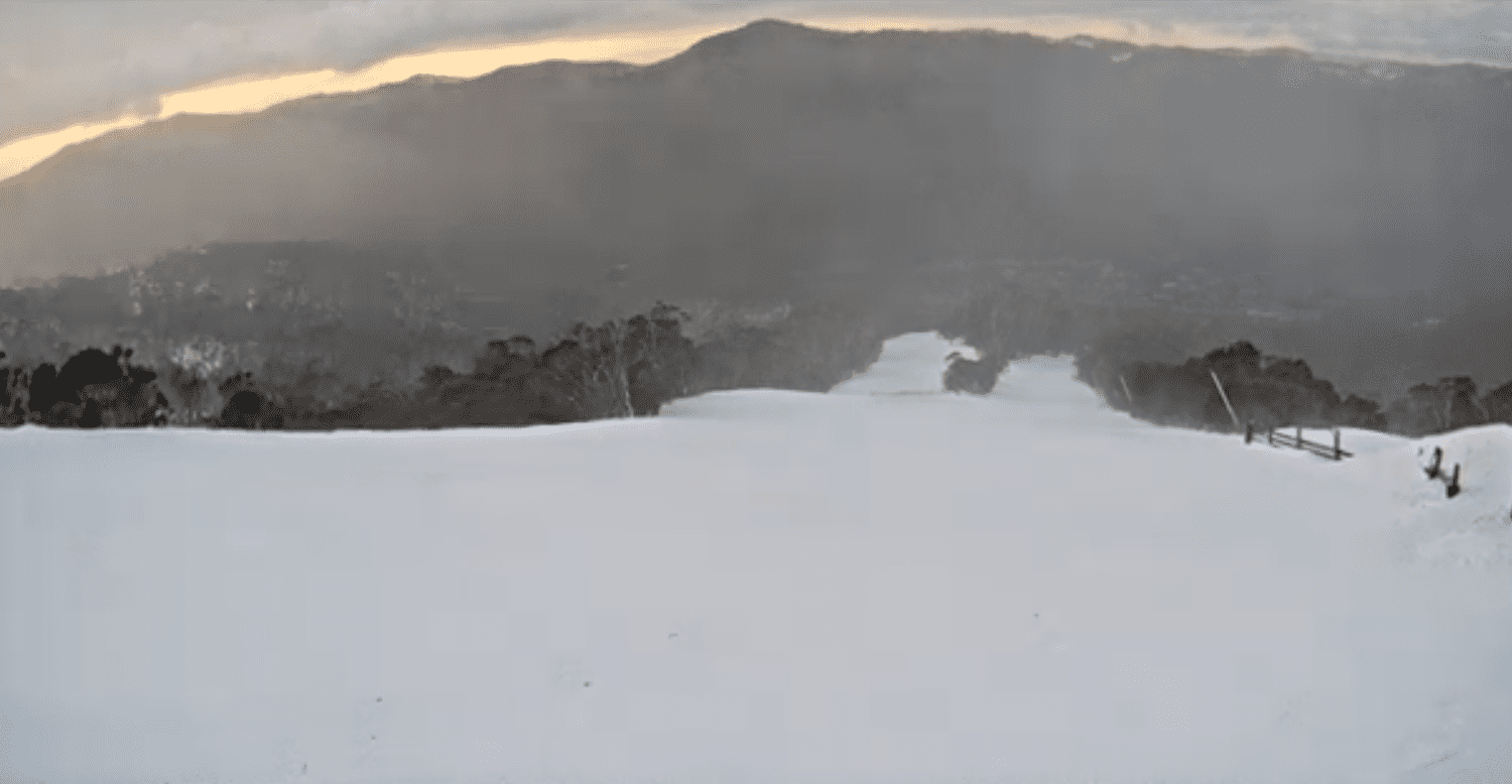
Hold on to your hats as today is one of those gnarly prefrontal days, with wet and very windy conditions, although snow should fall about the very tops. Showers will start late this morning, with snow falling around the peaks
The cold front will hit during the dark hours of late Monday and early Tuesday, and it’s a rather juicy one, bringing a period of heavy snowfall, which will lower to around 800m or less as the cold air piles on. After that, snow showers will gradually peter out later on Tuesday, however an extra little push from the southwest will bring a few more light snowfalls on Wednesday. All up, we can expect a good 10-25cm of quality snow from this front.
Monday 22nd
Drizzle/flurries developing morning, turning to rain during the afternoon as snow levels lift to 1900m or above. Gale NW winds blowing the place to pieces, reaching 80-100km/h in exposed places. A period of heavy snowfall to low levels spreading east after dark with a freezing S-SW wind change, then pinning back to snow showers.
Tuesday 23rd
During the morning, heavy snowfall in NSW will gradually ease to snow showers, while snow showers continue in Victoria down to around 800m or lower! Snow showers gradually peter out during the second half of the day as cloud breaks apart with increasingly sunny skies. Freezing cold S-SW winds, so snug up!
Wednesday 24th
A partly cloudy day, with a few light flurries, especially in Victoria during the afternoon where it may be more like snow showers at Buller and Baw Baw, with snow levels lifting to about 1400m. Cold SW winds.
Extended Forecast
Thursday could bring few more light snow flurries as chilly southerly winds continue. Friday and Saturday will be a couple of crackers as high pressure brings mostly calm, clear weather. Damp, humid northerlies kick in next Sunday before a low approaches from the north or west during next Monday, with snow hopefully in the mix from next Tuesday.
That’s all from me today folks. For this week, I’m sending out the forecasts Sunday, Thursday and Saturday. Next week, I’ll be back to the usual Monday, Wednesday and Friday forecasts. Have a great day.
Grasshopper


