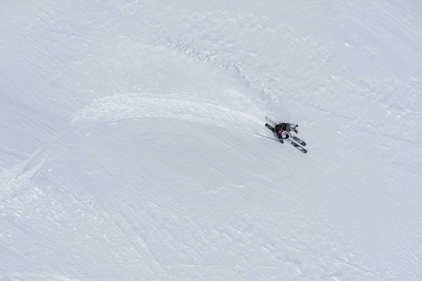
World Snow Wrap March 24th – A Snowy March for Most Regions, But Spring Taking Hold as the Season Winds Down
Mountainwatch | Reggae Elliss
March has been a good month in most Northern Hemisphere regions with a good run of powder days at the start of the month, including Japan where the powder tap usually turns off at the end of February. While lifts will keep spinning until early May in some resorts in Europe, North America and Japan, the majority of resorts will wind up operations over the next few weeks and this is the final World Snow Wrap for the 2023/24 season.
Japan
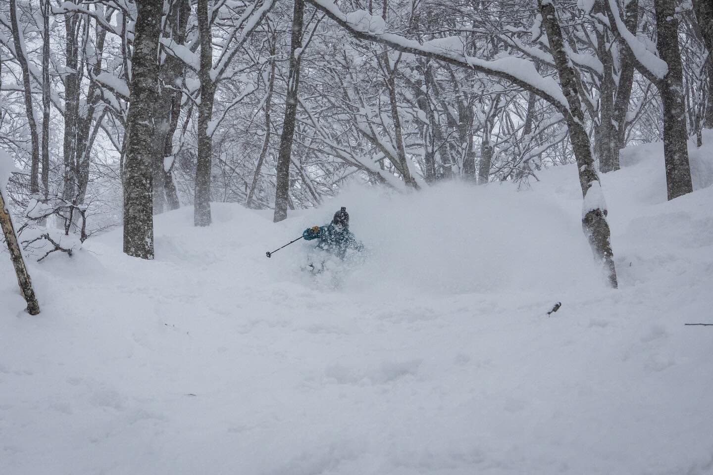
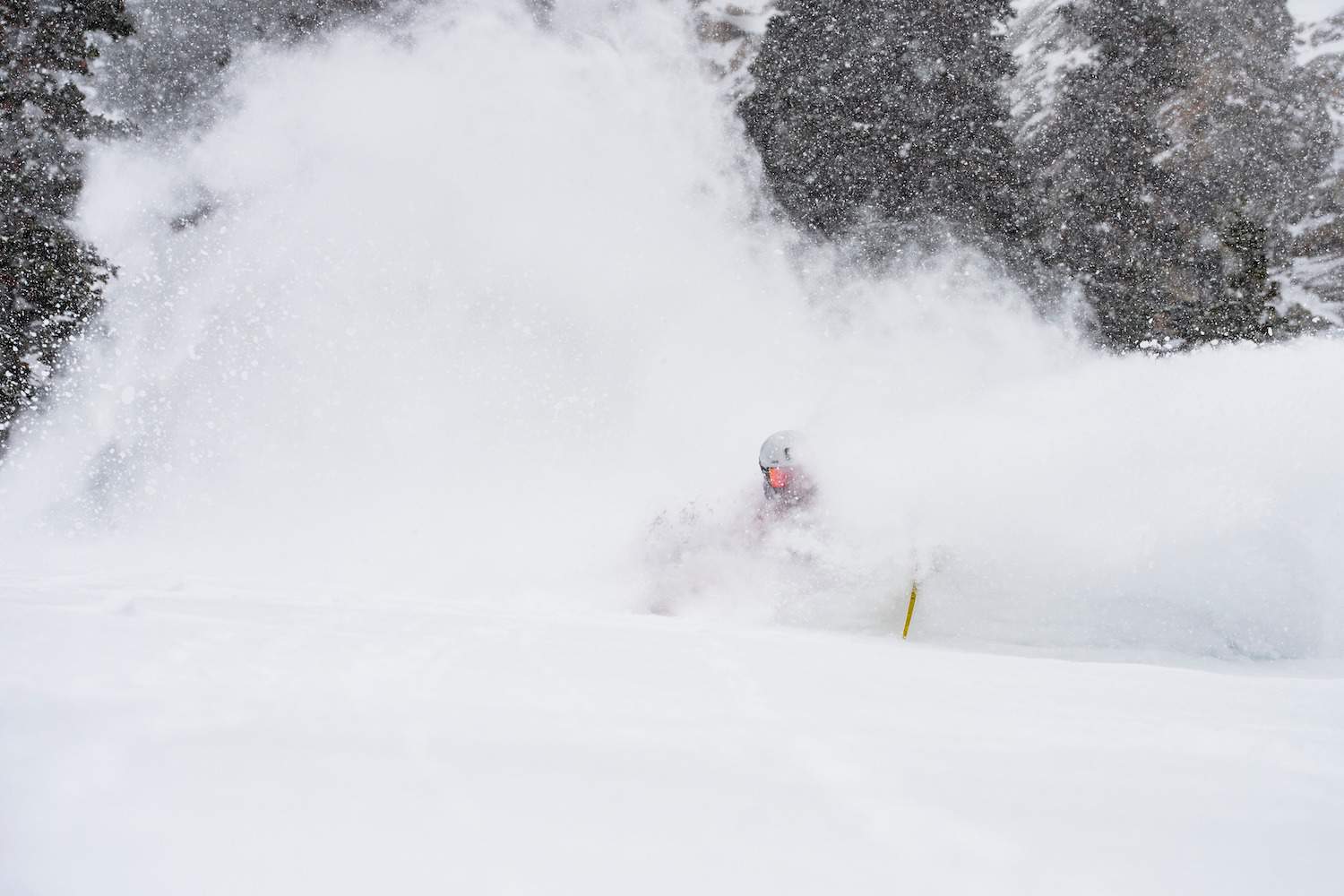
Japan has seen some of the best snow of the season over the past three weeks after winter made a much welcome late return after the spring weather in Feb which saw many temperature records broken across the country. That includes on Hokkaido where Niseko reached 10 degrees on Feb 15th while on Honshu the temp hit 16 degrees at Myoko’s Akakura Onsen. No surprise that the Japan Meteorological Agency has announced the 2023-2024 winter as the second warmest on record after the 2019/2020 season.
Fortunately, the warm trend ended during the last week of February – just as I left – and it has been colder since with winter-like temps and consistent snow during the first two weeks of March, especially for resorts on Honshu. February was a poor month for snowfall in Hakuba receiving a measly 72cms for the month at base levels, while the March total at the base is 170cms. March kicked off with a bang with 61cms in the first week followed by 44cms at the base on March 9/10. The result were some the best powder days of the season, the last good falls was on Wednesday when another 30cms fell.
It has been a similar story in Myoko and Nozawa, Myoko currently sitting at 244cms for March while Nozawa Onsen has received 188cms this month. The call has been “March Madness and there have been some deep powder days at resorts throughout central and northern Honshu.
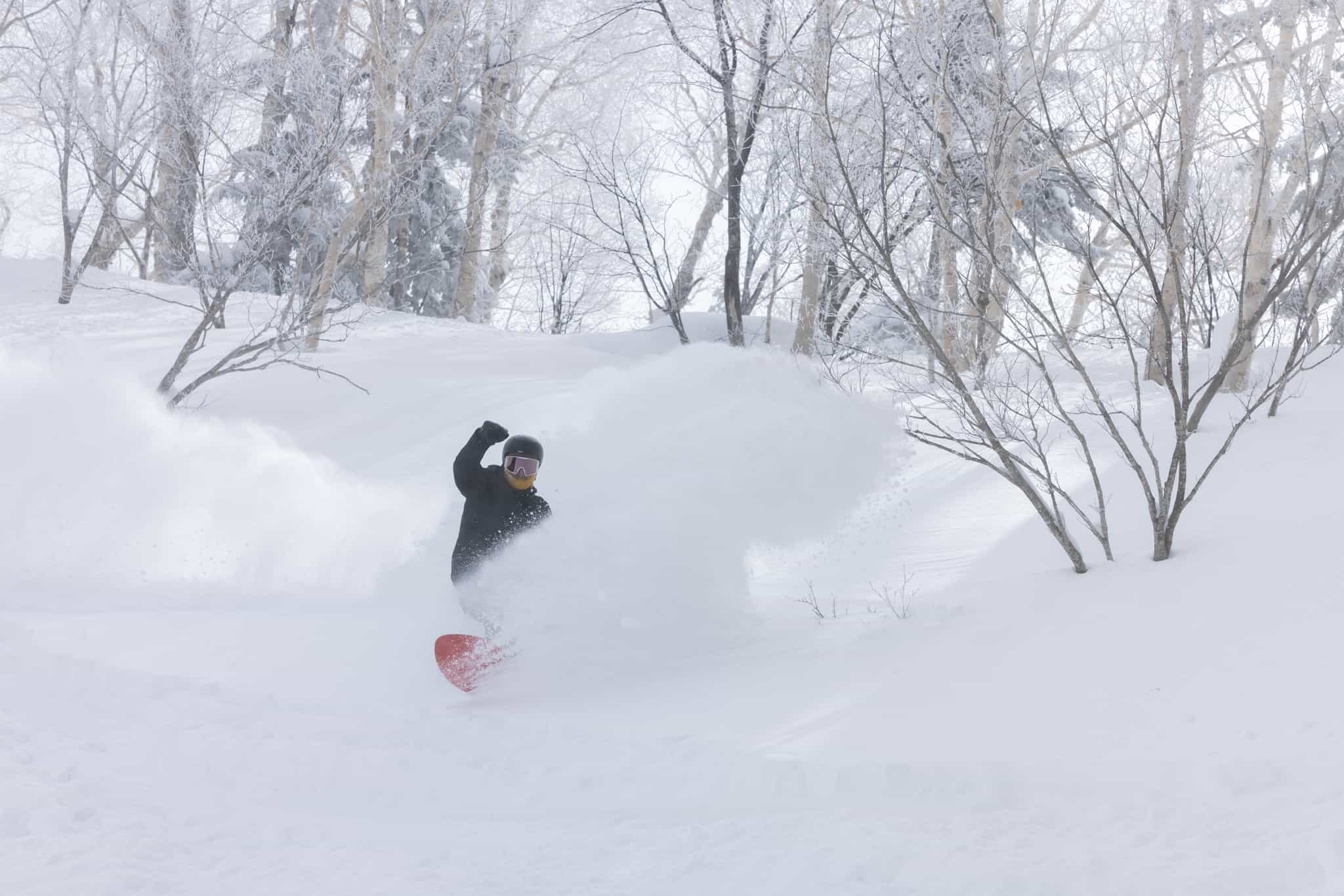
In Niseko, February ended with 30cms at the base during the last week and possibly double that up high, colder temps keeping the snow in good shape. According to Snow Japan, Niseko’s February total the base was 144cms and while there have been a few good falls this month, Hokkaido hasn’t seen the totals enjoyed by resorts on Honshu, Niseko with a March total at the base of 68cms while Furano has received 94cms.
There have been a few mild spring days in between the snowfalls and there has been a few snow showers across the Honshu resorts this weekend, the forecast for warmer temps and the chance of rain/snow showers next week. Things are also winding down with most Myoko resorts due to close either today or March 31st. Some resorts will also close in Hakuba this weekend although Happo One and Hakuba 47 will stay open until May 6th, dependent on snow.
On Hokkaido it is looking like fine but cold weather next week with a return to milder temps and spring weather next weekend. Again, the season is winding down with smaller resorts closing this weekend, but some lifts are expected to stay open in Furano and Niseko until May 6th.
USA
Fair to say was been going off in many ski areas in the western US at the start of the month, with a number of strong storms dropping a heap of snow over a two-week period. California’s Sierras copped at the start of the month with Palisades Tahoe recording 2.5metres of snow in four days but the accompany winds were super strong registering at a peak of 300km/hr and the resort was closed for three days. Other resorts around Lake Tahoe also saw big numbers, Kirkwood recording 160cms in five days while Heavenly saw 177cms. That same storm also hit Mammoth Mountain, but the totals weren’t as high with a metre recorded over four days.
The Pacific northwest also received goods totals over the past week, Mt Baker with 55ind and Stevens Pass 0ins. Further inland resorts in Utah, Wyoming, Colorado all report big snow total over the past 10 days with 36ins in Snowbird, 36ins in Aspen and back to back storms dropping 79ins in Jackson Hole since between Feb. 27 and March 6th. That 10-day period turned on some of the best powder days of the season.
The next storm was around March 12-14 when resorts in the Rockies picked up some decent totals, Aspen with 13ins, Jackson 7 ins and 22 ins in Alta on March 13/14. The past week has seen spring weather in most of the western US resorts but that changed yesterday with a return to colder, snowier pattern that is expected to continue through to the end of the month. Snow totals are looking good for the next week with 41cms forecast for Jackson Hole, 25cms for Snowbird while in California Palisades Tahoe could see 6o-70cms, Heavenly 40cms and Mammoth 35-40cms.
Canada
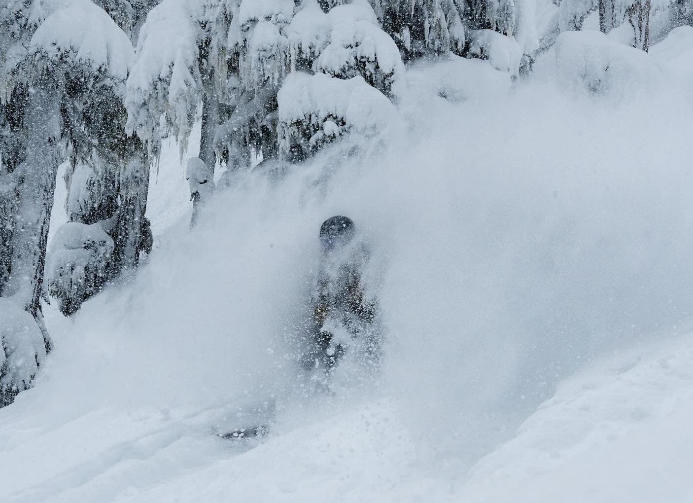
After a quiet first half of the season things have improved significantly in Canada since late February, resorts in British Columbia and Alberta all receiving good snowfalls over the past few weeks. Cold air ensured quality snow with some deep powder days during the first two weeks of the month in the interior BC resorts with March 7th a standout out in Kicking Horse while March 10-14th turns on a run of consistent powder in Revelstoke.
It has also been a good turn around for Whistler Blackcomb which copped a series of warm storms and rain at lower elevations during December, January and a quieter first half of Feb. That month ended with a bang with 75cms on Feb 29-March 1st and it has been consistent since. Last week saw some of the best snow of season with and a run of consistent snowfalls with 155cms falling from March 10-14th.
The past week has been a relatively mild and sunny, a large stationary high-pressure system resulting in some classic spring weather across BC. That changed on Thursday with a weak storm delivering with much colder temps and some snow across interior BC resorts but not much in it with Kicking Horse picking up 5cms in the past 24 hours, Revelstoke 3cms and 4cms at Silver star. A second storm is due in the next 24 hours for the Interior BC and there could be some decent totals over the next week, with potential for 15-20cms for Whitewater, Big White and Red Mountain while Kicking Horse and Revelstoke could see 5-10cms. Whistler and the coast ranges didn’t see any snow out of that system and only a few snow showers expected over the weekend, but the latest models are looking good for snow later in the week.
Lake Louise also had a reasonable start to March with 35cms in the first week and has had another 27cms in the past 48 hours, taking its March total to 70cms. Its is also going to be much colder this week with day time max temps of -12 expected over the weekend before climbing to a more comfortable -3 early next week. Not a lot of snow in the forecast for the weekend with just a few snow showers, ahead of stronger storm and snow mid-week
Europe
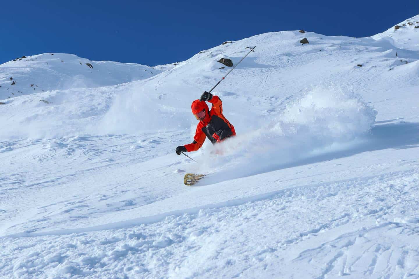
The start of March saw a few good storms which dropped moderate to heavy snow, maintain the base at higher elevations while lower elevations are getting thin thanks to some warm days. It has been up and down over the past ten days with a couple of good storms but mild weather in between and the odd wet day.
Some of the best the first weekend with resorts in Italy reporting a metre of snow, and it was a similar story in the Pyrenees which enjoyed the deepest snowfalls of the season. Resorts in Austria, Switzerland and France also saw good snowfalls, especially at higher elevations and a couple of good few good powder days last week.
The past week has been classic spring in most regions, sunny days, cold nights and a melt/freeze cycle, great for cruising on the groomers, lapping the parks and spring corn in the afternoon. There were some light snowfalls yesterday in some Swiss and French resorts, but it was fine elsewhere. There is more snow on the way with two storms in the the forecast with 7-day totals at 27cms for Val D Isère, 30cms for Verbier, 10-15cms for St Anton while in Italy, Cortina D’Ampezzo is in line for 20cms.
Where We’d Like To be This Week
Somewhere in the European Alps. There is a bit of a top-up on the way, there is a good base in most major resorts and when the sun comes out spring in the Alps is hard to beat. If we had to narrow it down, let’s say Verbier – big mountain with a heap of terrain.


