Australian Forecast – Fine For NSW And A Bit Of Cloud For Vic As NW Strengthens
Mountainwatch |The Grasshopper
Written early Wednesday 12 July, valid to Friday 14thJuly
Persistent westerly winds and marginal temperatures these last few days have seen us yo-yoing between wet, soupy conditions, light snow flurries, and periods of sunshine. Surface conditions have fluctuated accordingly – softening when warm and damp, then snap freezing when clear and cold.
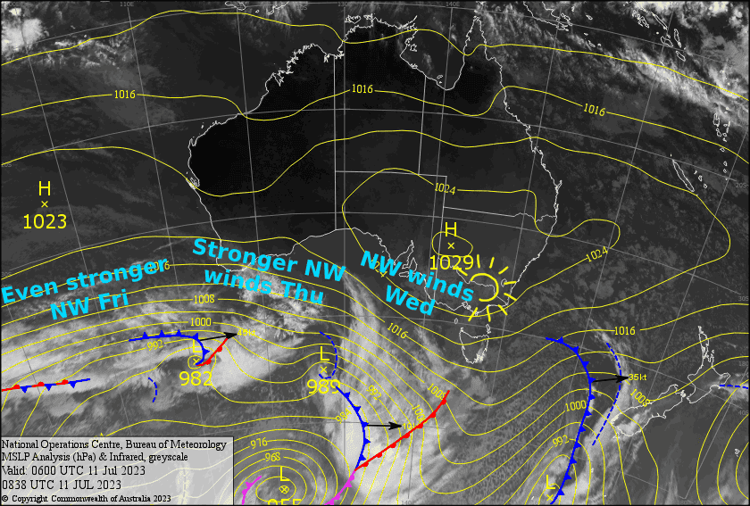
We’re now mostly over the soupy conditions, thank goodness. Over the next few days we’ll remain sandwiched between high pressure to the north and a parade of low-pressure systems to the south, resulting in mostly fine weather for NSW and partially cloudy skies for Victoria.
The main issue will be strengthening NW winds, which will reach gale force Thursday night as a cold front enters the Bight and approaches during Friday. We’ll start to notice cold air arriving from this front Friday night, although little, if any, snow is expected from it in the days that follow.
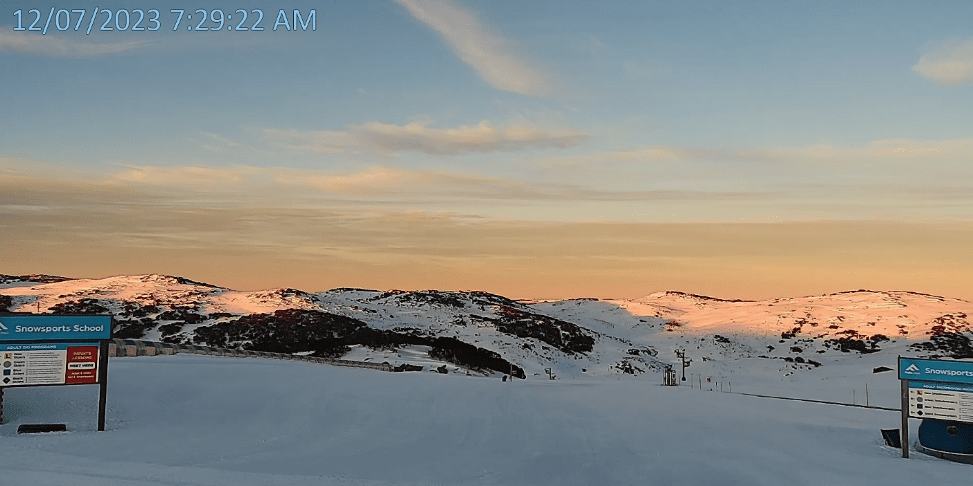
Wednesday 12th
A fine day for NSW resorts, but there’ll be a bit of cloud hanging about Victoria, especially on Mt Buller where we could also see a few spots of drizzle this afternoon. NW winds will also be stronger over Victoria.
Thursday 13th
Mostly fine with a little high cloud. However, strengthening NW winds will continue to blow in some lower cloud on the Victorian side, which will mostly affect Mt Buller where we could see a little afternoon drizzle again.
Friday 14th
Mostly fine with high cloud, as well as strong-gale NW winds. Again, these winds will have some lower level cloud blowing onto Victorian resorts, particularly during the morning.
Extended Forecast
The cold front mentioned above splinters in half upon reaching the Aussie Alps – one half slips away to the south, while the other half wanders inland to our north, leaving us dry under a narrow ridge of high pressure this weekend. However, calmer, colder air will in fact reach us, so we could see some snow making done and conditions will be great to head up the hill.
The northern half of the front eventually finds its way back home, hitting us from the north during Monday,with just light snowfall expected up high over NSW at this stage.
NW winds will again strengthen next Tuesday & Wednesday before a juicy-looking front hits maybe next Thursday with a potential top-up and cold temps in store.
That’s all from me today, folks. See you again Friday.


