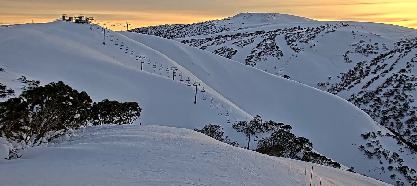
Australian Forecast, July 3rd – Rain Tuesday & Wednesday Before the Powder Train Arrives
Mountainwatch | The Grasshopper
Written early Monday 3rdJuly, valid to Wednesday 5thJuly
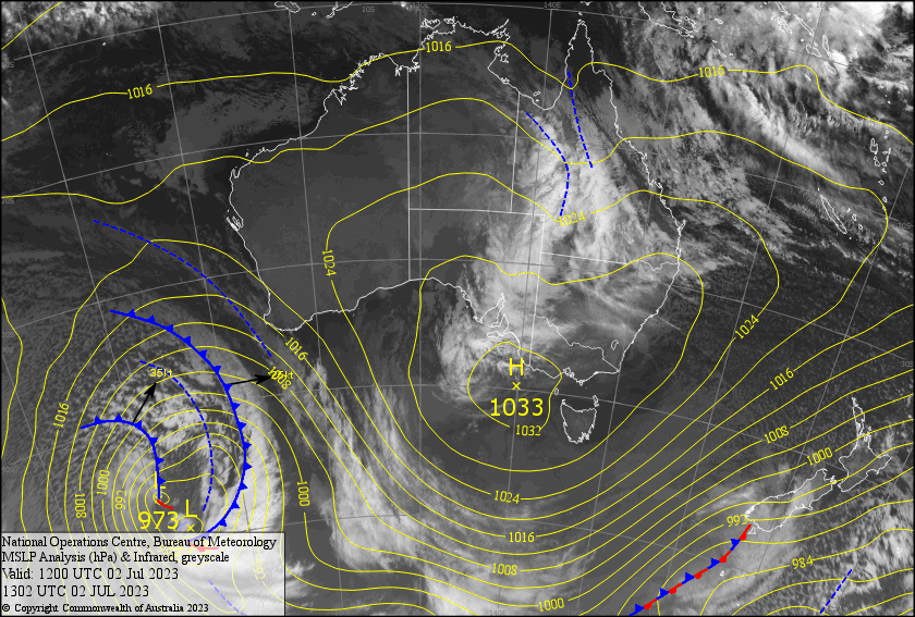
High pressure drifting overhead will keep things nice and settled today, although scraps of high cloud will indicate that something more sinister is brewing on the horizon. That “something” is in fact a trough to our north over Queensland.
The high centre drifts away to the east, allowing the trough to extend southwards, arriving in the Aussie Alps in the form of wet northerlies during the early hours of Tuesday, with the main brunt of it being felt during Wednesday. Fortunately, rain accumulations don’t look too high, with 10-20mm most likely, although a little more is possible in some areas if the system is a little more vigorous than models suggest.
This is just a small price to pay, the hard work that need to be done before the snow gods smile upon us, and we’ll know much better things are in store as temps start to cool Wednesday night (hint: read the extended outlook for more juicy details).
Monday July 3rd
A fine day with high cloud, which will start to thicken from evening. Northerly breezes will be light over NSW resorts.
Tuesday July 4th
A grey, damp ol’ day with periods of mostly light rain and drizzle, as well as a northerly breeze. Some of the rain may falls as snow above 1800-1900m for a time.
Wednesday July 5th
Another wet one, even wetter than the day before as the rain will be more persistent and a little heavier. Cloud clagging up the slopes will reduce visibility and we’ll have northerly winds. Mt Baw Baw may be the best off the bunch, as the rain will struggle to reach it due to sheltering and it’ll likely clear for at least a time.
Colder air will start to arrive at night, with snow levels lowering to mid-mountain overnight, but the precip will also back off at the same time.
Extended Forecast
Now for the good news! From Thursday through into next Monday or Tuesday, a continuous train of snow-bearing systems will arrive in the Aussie Alps, each dumping a load of Powder. It’s the snow storm – or rather series of snow storms – we’ve been waiting for. Current accumulations are up around the half a metre mark, but with strong W-NW winds, we could see a lot more blown in from the windward side. This much snow will take things up a couple a couple of notches and is great timing for the school holidays (if you don’t mind a bit of gnarly weather).
That’s all from me today, folks. See you again Wednesday.


