Australian Forecast, Monday July 10th – Strong Westerlies And A Bit Soupy, But Not-Too-Bad Wednesday
Mountainwatch | The Grasshopper
Written early Monday 10thJuly, valid to Wednesday 12thJuly
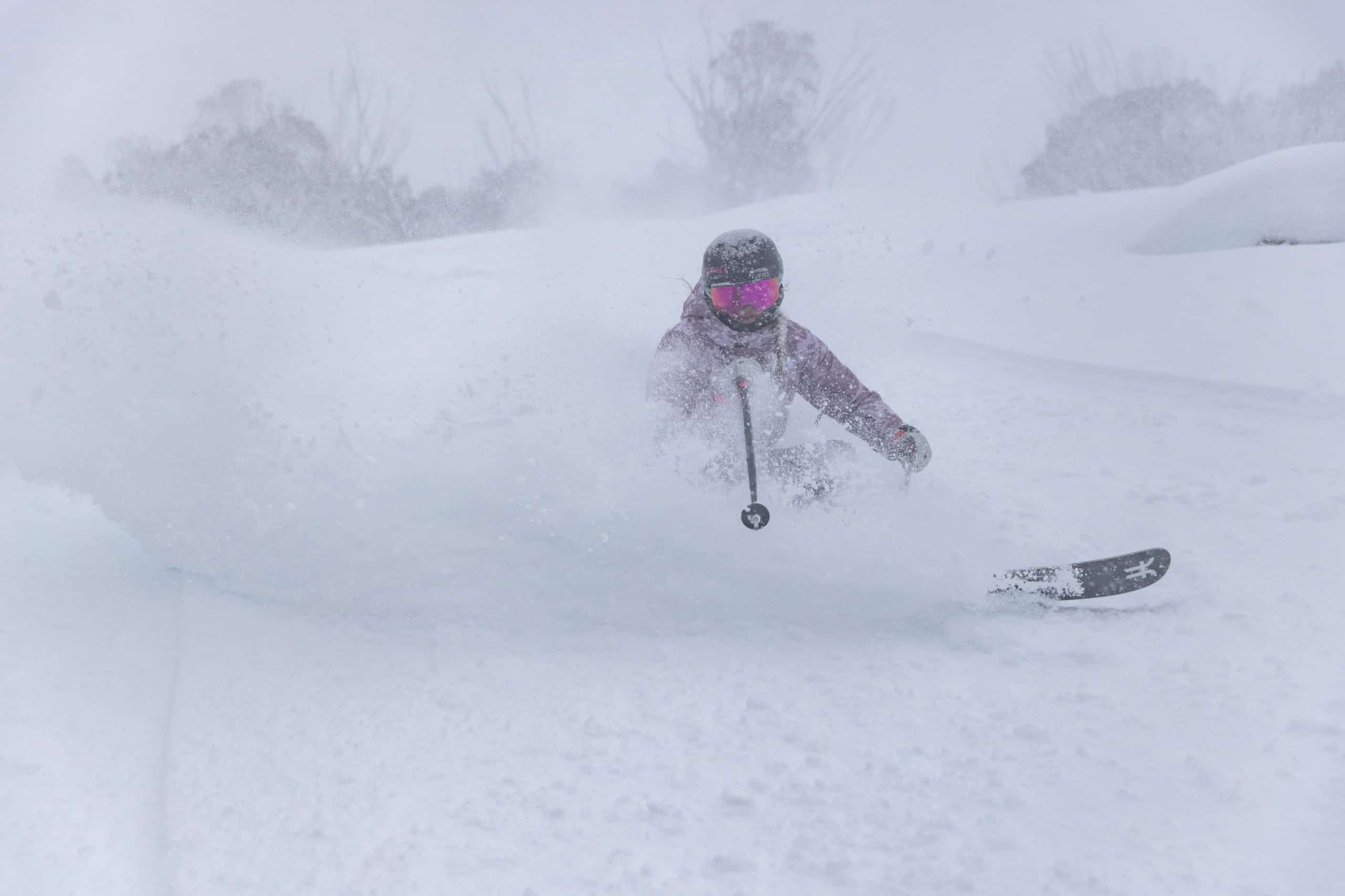
That was some day we had Saturday, storm tallies are up around 38-48cm at a number of resorts. Far out, brussels sprout! However, conditions were tough with strong winds and poor visibility, and it turned soupy on Sunday with slush and drizzle coming down as temps got a little warm, which affected the powder quality.
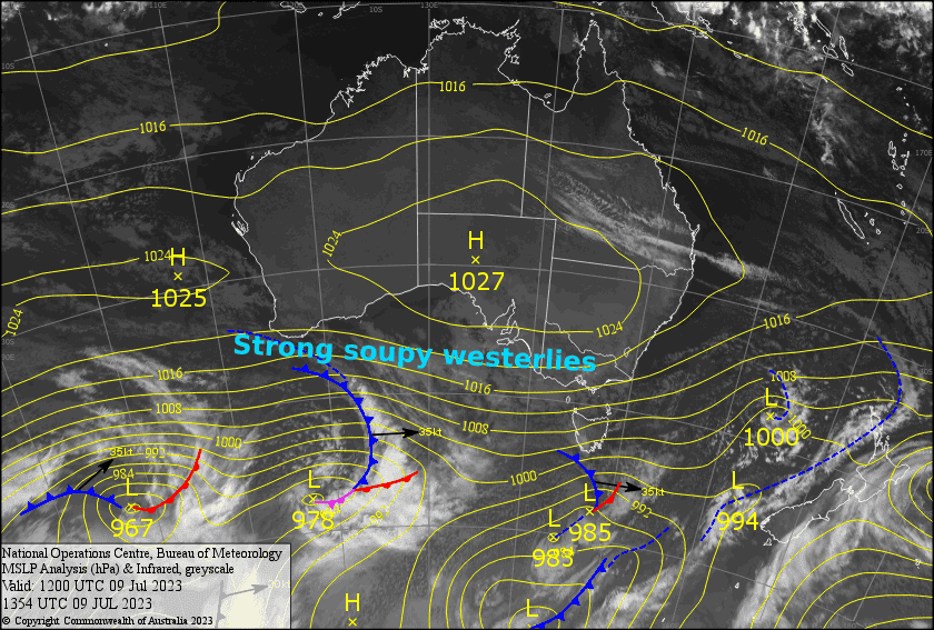
Over the next few days, we’ll remain wedged between high pressure to the north and passing low-pressure systems to the south. Strong westerlies will maintain the soupy conditions until they ease a little during Tuesday and start to turn NW, for not-too-bad a day Wednesday.
Monday 10th
Strong westerlies will continue to push in the muck today. Temps are marginal, so light precipitation will fluctuate between snow flurries and wet drizzly stuff. Pack your wet weather gear and rose goggles and you’ll have all bases covered.
Tuesday 11th
We’ll pick up where we left off: strong westerlies mucking up the slopes with that same soupy, slurry mix. However, conditions will gradually improve throughout the day as winds abate, allowing the precipitation to clear and the cloud to break apart.
Wednesday 12th
A mostly fine day, but there’ll be a bit of cloud hanging about Victoria where we could also see a spot of drizzle or two. NW winds becoming strong.
Extended Forecast
Hair drier NW winds will strengthen during Thursday and Friday, likely putting all the recent snowfall on quick thaw, before an approaching cold front hits Saturday night/Sunday, bringing what looks to be a top-up to at least down to mid-slopes.
That’s all from me today, folks. See you again Wednesday.


