Australian Weekend Forecast, July 7th – Storm Of The Season To Dump 25-50cm
Mountainwatch | The Grasshopper
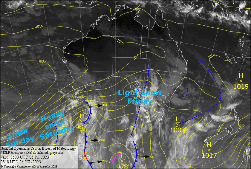
Written early Friday 7thJuly, valid to Sunday 9thJuly
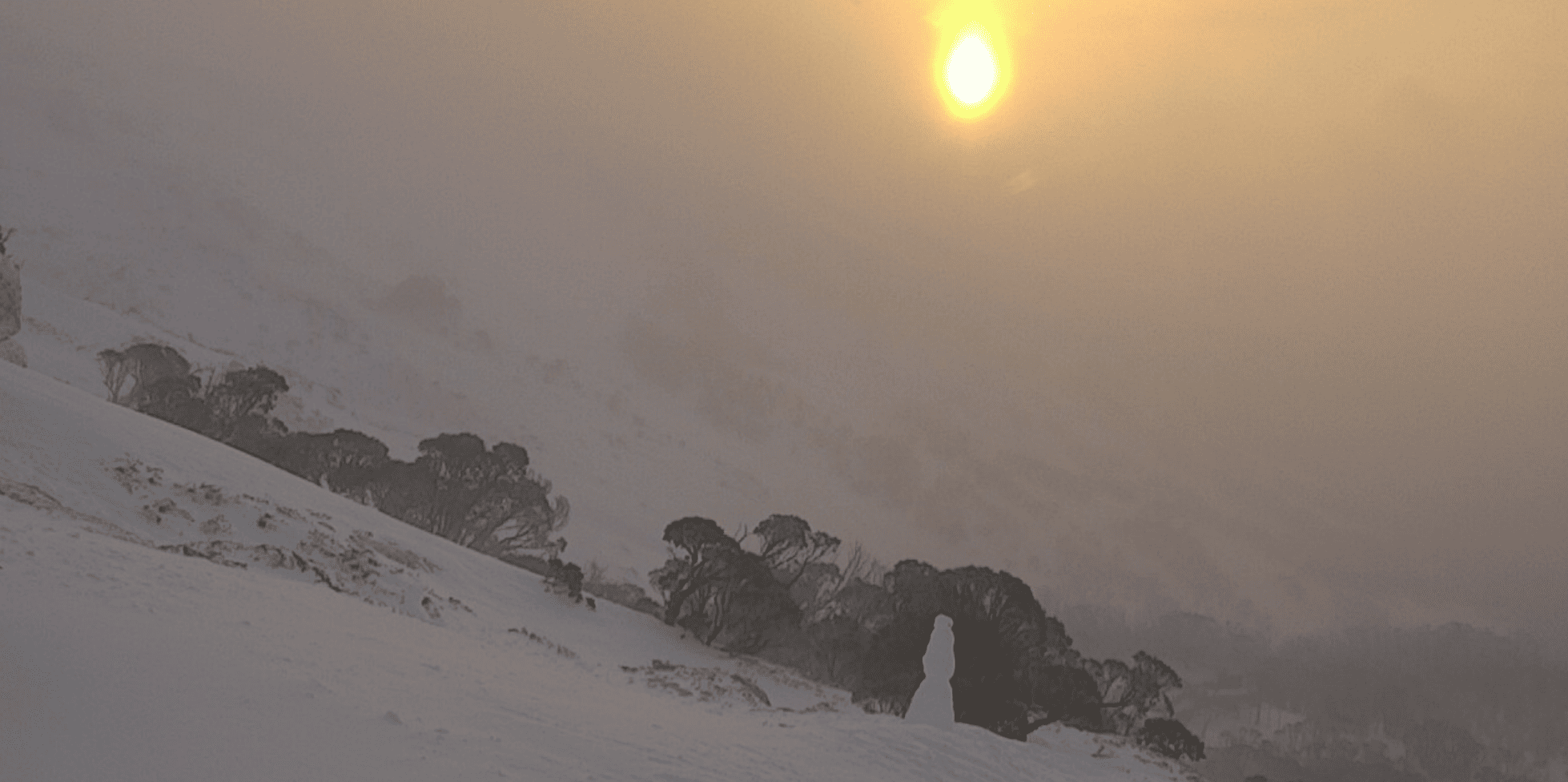
Today’s forecast is a juicy one folks. We’ve got the snow storm of the season lined up to dump a whole heap of powder on us during Saturday. With additional light snowfall either side during Friday and Sunday, we’re looking at accumulations of 25-50cm. Conditions will be wild, and with severe gale W-NW winds, we could see even more snow scoured from the windward side and dump onto the resorts. You beauty!
Friday 7th
Mostly light snowfalls will continue throughout the day down to around 1300-1400m. Mt Baw Baw will only pick up scraps due to being too sheltered, and snow levels will get too high there in the afternoon. Strong W-NW winds rising to gale with poor visibility.
Saturday 8th
Heavy snowfalls to low levels spreading east during the morning, then easing from evening as severe gale NW winds tend westerly. Expect gnarly blizzard, whiteout conditions, so take care!
Sunday 9th
Light snow showers and flurries will linger off and on throughout the day while westerly winds continue to blow a gale. It may start to get a little damp on the lower slopes from afternoon as snow levels lift. Reduced visibility due to cloud clag and precip.
Extended Forecast
We should continue to see light snowfalls across Monday and Tuesday, possibly even into Wednesday,while strong westerlies persist as a cold front slips underneath us. The top end of another cold front brushing over the Aussie Alps is likely to bring a nice wee top-up next Friday and Saturday.
That’s all from me today, folks. See you again Monday.


