Australian Weekend Forecast, July 8 – Snow showers today and Saturday, super on Sunday
Mountainwatch | The Grasshopper
Valid Friday 8thJuly to Sunday 10thJuly
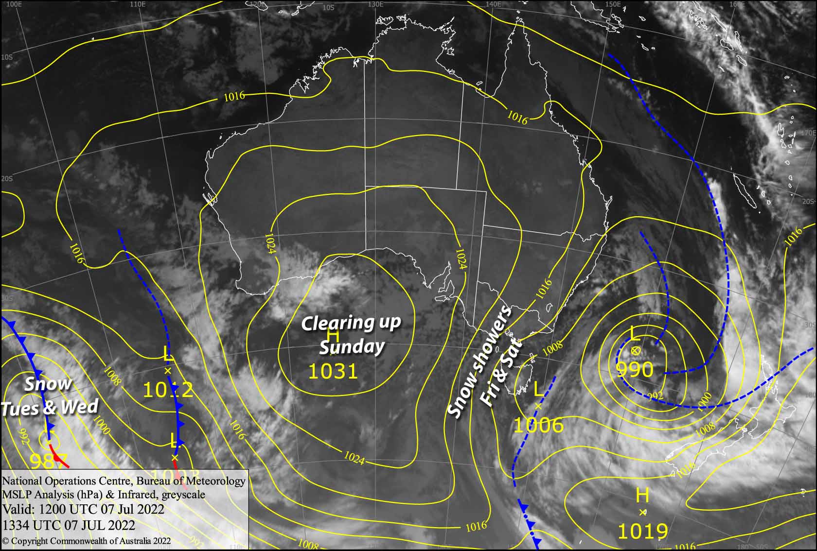
A low churning away in the Tasman Sea will push chilly southerly winds and snow showers over the Aussie Alps today into the early hours of Sunday. Mt Baw Baw is in the line of fire and could stack on up to 10-15cm of fresh powder, while 3-7cm can be expected elsewhere. The low will slowly shrink this weekend, allowing a narrow ridge to clear things up for a super Sunday.
Friday 8th
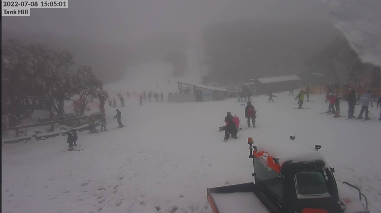
Snow showers throughout the day, snow falling down to around 1200-1300m, with reduced visibility. Chilly SW winds will be quite strong in exposed areas.
Saturday 9th
A wee bit of sky may be showing during the morning, especially on Mt Buller, before the clouds close in again from late morning with light snow showers likely. Brisk southerly winds.
Sunday 10th
A few flurries before dawn, then cloud will dissipate during the morning for a mostly fine afternoon. Brisk SE winds tending easterly while dropping away.
Extended Forecast
A cold front should see snow showers from Monday night through Tuesday, with a few leftovers possibly falling during Wednesday. It‘ll be a welcome top up of around 5cm and the chilly temperatures should get the snow guns firing.
A weak front looks likely to bring light snowfall at some stage next Thursday and/or Friday, followed by a more active front next weekend with decent top up on the cards, something in the realm of 10-20cm if I were foolish enough to put numbers on it. Just what we need!
That’s all from me today folks, get out there and make the most of these great conditions. I’m sending out these forecasts every Monday, Wednesday and Friday.
Grasshopper


