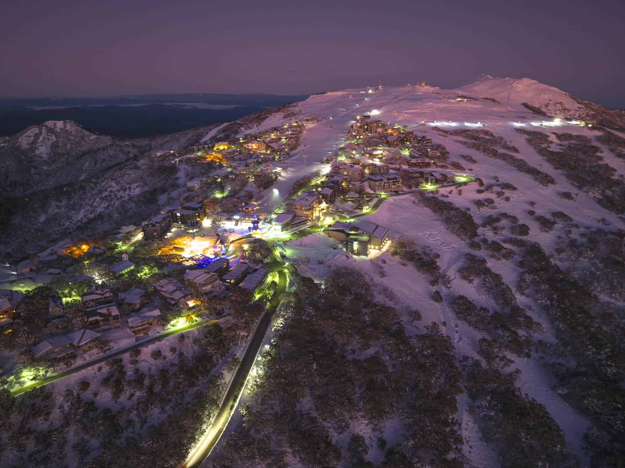
Australian Weekend Forecast, June 23rd – Grey and windy, but 15-30cm expected
Mountainwatch | The Grasshopper
Written Friday 23rdand valid to Sunday 25thJune
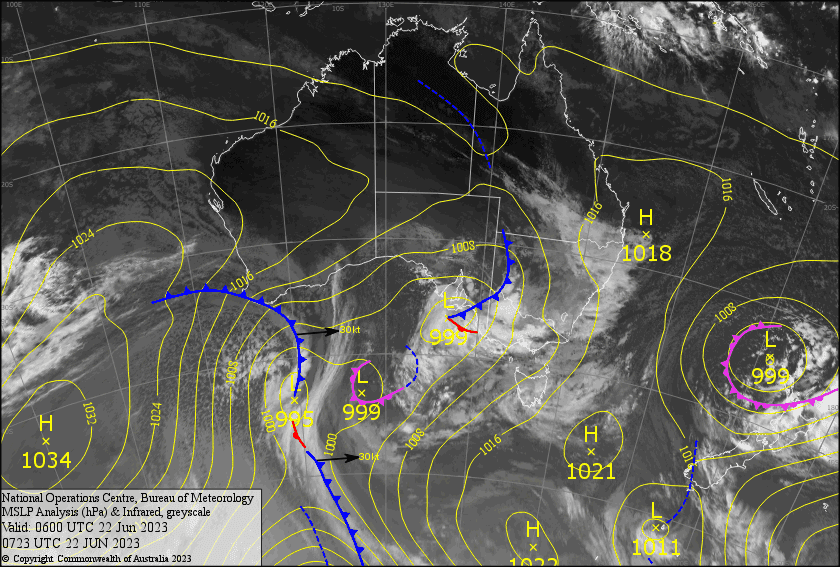
There’s been a mix of snow up high and rain down low last night. We’ll have to wait for the reports to see exactly how much and where the snow levels have been sitting. At this point, snow levels appear to be lower in Victoria, so resorts there may have fared better.
It’s these marginal temps that have kept me on my toes, with snow levels bouncing around between 1300-1700m over the next several days, while gale NW winds whip over the Aussie Alps. Precipitation too will fluctuate between light drizzle, or flurries, to periods of more persistent snowfall as a succession of weak fronts pass overhead, while a couple of lows in the Bight track SE underneath us.
Despite the grey, drab conditions, who could complain about an additional 10-30cm+ over the next few days?
Friday 23rd
Mostly light precipitation this morning, with snow levels lowering to around 1400m or possibly a little lower. There’ll be a period of heavier snowfall in Vic this afternoon, then NSW late afternoon into the evening, before backing off tonight as snow levels lift again to around 1700m tonight. Strong NW winds rising to gale in exposed places with poor visibility.
Saturday 24th
Patchy light snow/drizzle during the morning, with snow levels sitting between 1500-1600m. Then another period of slightly heavier, more persistent snowfall in Vic from afternoon and NSW during the evening, with snow possibly falling to 1300-1400m. NW winds continue to blow a gale with poor visibility.
Sunday 25th
Another grey cloudy and windy day. Light flurries developing during the afternoon, becoming more persistent from evening. Snow levels sitting between 1400-1500m. Winds will be gale force in exposed areas, and visibility will be limited.
Extended Forecast
Gale NW winds continue during Monday, bringing light, but persistent snowfall. Conditions will gradually abate and during Tuesdayand Wednesday,with snowfall gradually petering out, as high pressure approaches, which should push onto the Aussie Alps Thursday.
That’s all from me today, folks. See you again Monday!


