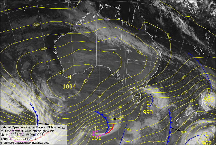
Australian Weekend Forecast, June 30th – Sunshine Finally Arrives Sunday as Westerly Tidbits Come to an End
Mountainwatch | The Grasshopper
Written early Friday 30thJune, valid to Sunday 2ndJuly
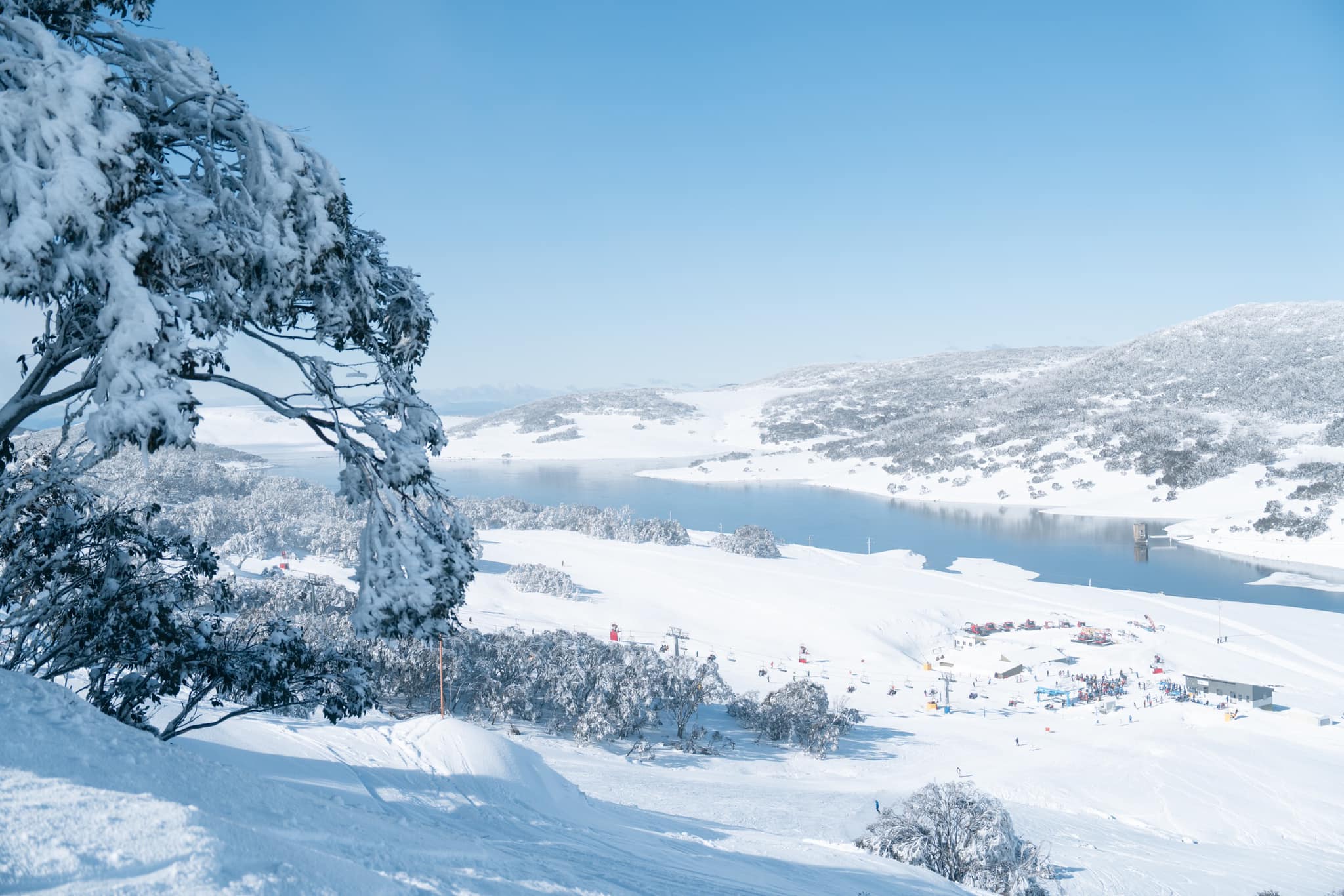
It was nice and cold yesterday, which had the snow guns blazing while the flakes kept falling. As SW winds continue to blow, we’ll see much the same today and Saturday, although temps will lift for a while today so that these snow flurries will turn to drizzle on the lower slopes, which they may have already done so by the time you wake if you happen to be in Victoria.
The winds finally drop off during Sunday, bringing us a mostly fine, mint day, marking the end of this prolonged run of disturbed westerlies, which has seen our snowpack build little by little from regular tidbits of powder.
Friday June 30th
Cloudy with snow flurries, which will turn to drizzle/light rain on slopes below 1700-1800m in Vic during the morning, and below 1600m in NSW around the middle of the day as temps rise a little. Strong SW winds tending westerly.
Saturday July 1st
Colder temperatures will have arrived before dawn, so light snowfalls will continue down to 1400-1500, which will then taper off from afternoon with the cloud cover starting to break up. However, snow showers will linger over Baw Baw until late. Strong SW winds gradually clocking southwards.
Sunday July 2nd
A mint, sunny day at last! Although there’ll be areas of low cloud first thing, which will linger over Baw Baw for most of the day… sorry guys! It’ll also be nice and chilly first thing in the morning, with the snow guns hopefully firing, but temps will quickly rise for what will be a relatively warm, balmy day. Southerly winds gradually turning SE while dying away.
Extended Forecast
Cloud and northerly winds will start to build Mondaybefore the rain arrives at some point Tuesday, as a trough in the north extends southwards over us. It doesn’t look like crazy amounts of rain, maybe 10-15mm, which should fall as snow up high.
From then on the outlook looks promising. Cold air should arrive Wednesday or Thursday, bringing snow levels down nice and low while light-moderate snowfalls persists into next weekend. Keep in mind there’s a lot of uncertainty at this point, but it’s a big turnaround from the previous outlook, nonetheless, which had us high and dry.
That’s all from me today, folks. See you again Monday.
Grasshopper


