Grasshopper’s Weekly Japan Forecast, December 22 – A Week-Long Storm to Deliver the Goods
Mountainwatch | The Grasshopper
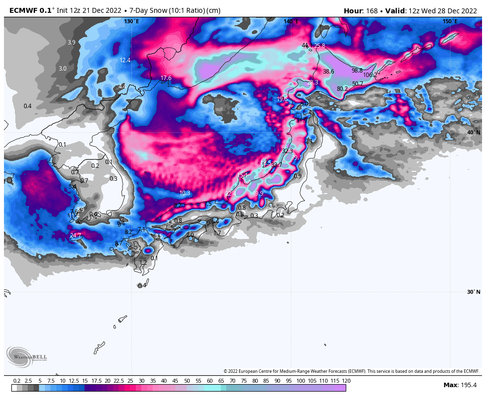
Valid Thursday December 22nd to Wednesday December 28th
Overall it was a great week here in Japan, where there were some massive weekly totals. However, as I alluded to in last week’s forecast, it was not an even share in the spoils. For example, the usually-snow-laden Myoko only received 15cm at its base, while just down the road Hakuba copped about 60cm.
The next seven days will be occupied by one major storm system, which will bring rain to mid-low levels today, and only wet, heavy snow up high. However, as they always do on the backside of these low-pressure systems, temperatures and snow levels will drop, and just in time for Christmas, we’ll see good snowfall through this weekend before it eases early next week.
Thursday Dec 22nd
A large blob of heavy rain slides northwards today, Thursday, coupled with strong and relatively warm S-SE winds, as a low travels up the east coast of Japan.
By the end of the day the blob will be sitting over Hokkaido, where rain and wet, heavy snow will affect elevations below about 1200m, while colder winds from the westerly quarter on the backside of the low will see snow levels steadily drop on Honshu.
Friday Dec 23rd
The low will continue to slowly creep up the coast of Hokkaido during Friday, with heavy rain making way for heavy snowfall as chillier winds file in from the north.
Snow will continue to fall to low levels on Honshu, however, some resorts will benefit more than others as a low-level SW wind barrier jet stream sets up along the Sea of Japan coast causing most of the precipitation to fall in the water. There should be decent falls in the Northern Alps/Hida ranges, which includes the Hakuba resorts, while mostly light falls are expected further north on Honshu.
Saturday Dec 24th – Sunday Dec 25th
The low slowly drifts away to the NE this weekend, turning winds to the north on Hokkaido, which will continue to push light-moderate snowfall onto those resorts exposed to that wind direction, such as those near Niseko and Sapporo. Resorts in the middle and south, such as Furano, will likely dry up and even possibly see some sunshine.
Down on Honshu, NW winds more perpendicular to the mountainous spine will cause the SW barrier jet to break down and allow heavier snowfall to penetrate further inland. Consistent and heavy falls are expected over central Honshu, while mostly light to moderate falls are expected in the north.
Monday De 26th to Wednesday Dec 28th
The snowfall from the weekend will gradually ease during Monday and Tuesday as the northerlies on Hokkaido and the northwesterlies on Honshu abate. There’ll only be light, leftover scraps for much of Wednesday.
Later on Wednesday, however, a low forming in the north of the Sea of Japan will push a fresh wave of cold air towards Japan, getting the ball rolling on the next round of snowfall.
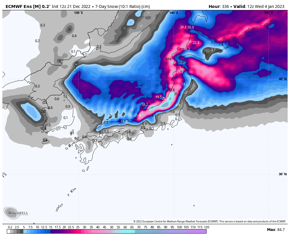
Thursday Dec 29th & beyond
After peaking next Thursday, the next round of snowfall will likely taper off next Friday and Saturday. The never-ending Japow storm cycle then looks to repeat itself again, possibly starting next Sunday, with another tonne of snow falling before petering out mid the following week.
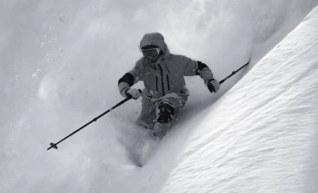
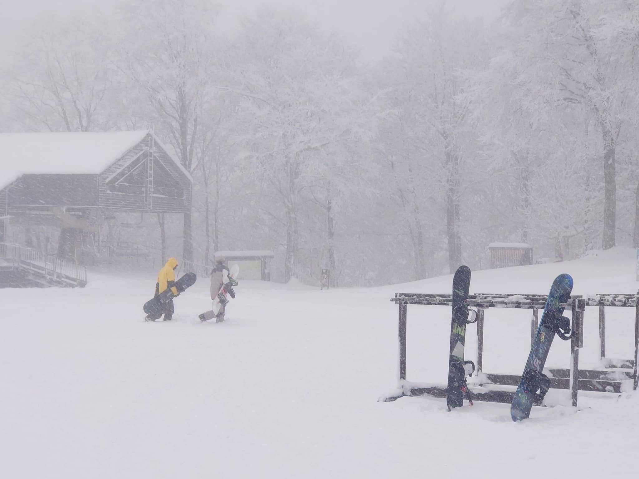
Well, that’s all from me this week guys. Get amongst the powder, have a great Christmas, and I’ll see you next Thursday.


