Japanese Season off to Slow Start, Change on the Horizon – Japan Snow Wrap
The transtition in progress. Image:: Niseko Photography
Mountainwatch | Japan Snow Wrap
Photos supplied courtesy of nisekophotography.com/
Let’s admit it, a slow start is a slow start, but it’s a start nonetheless. While the trademark powder that Japan is known for has been a little late to the party, you can rest assured that when the powder-faucet does turn on, it’s going to be really, really good.
READ NOW: We now have daily written snow reports from Hakuba, Niseko and Furano.
The tricky snow situation leading into Christmas next week presents an issue for Australian families who will be arriving expecting a white Christmas, but, at least, there will be some skiing on offer across both Nagano, Niseko and Central Hokkaido.
Today on the hill
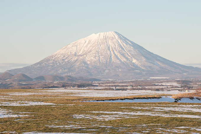
Niseko:
18cm of new snow fell right down to the village today, presenting a welcome sight for local businesses and skiers alike. Our snow report is talking about 25cm of new snow at mid-mountain so there should be plenty of pow turns on offer up high.
Hakuba:
There were snow flakes falling this morning right down to the valley floor. The mountain will need a significant amount of snow to fall until things really start to fire but this is a good start. Some resorts are pushing back planned opening days so check before you go up the hill.
Furano:
As expected, there was snow up in Furano throughout the day today. Lucy, our snow reporter, says there is about 10cm up top. More snow is expected between now and Christmas so things will improve quickly. Keep an eye on the daily reports for more.
In The Forecast
Hakuba:
Our models are calling for another 12cm of snow overnight tonight, with the freezing level staying way down around 200m. Things should return to flurries through Friday before the snow begins again on Saturday, with another 5-10cm expected to fall. At this stage things look to be warming up again by mid-next week but we will keep an eye on this.
Niseko:
Cold. Cold. Cold. Snow. Snow. Snow. That’s basically the outlook for the next two days as a another 20-30cm falls between today and Sunday. There’s a chance of things warming up again early next week, but the impact looks to be less concerning than further south in Hakuba. For now we wait for that big trademark season-starting storm to make itself known. In the meantime, get out and enjoy the pow.
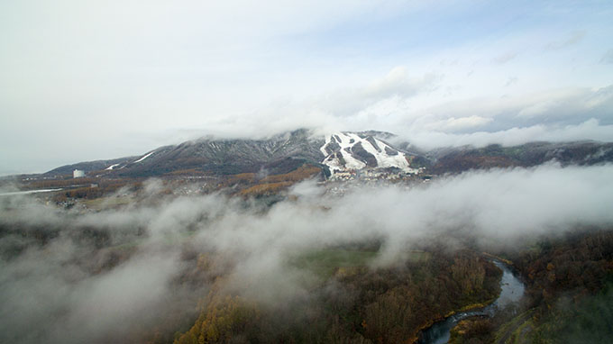
Taken yesterday, by now things look a lot whiter Image:: Niseko Photography
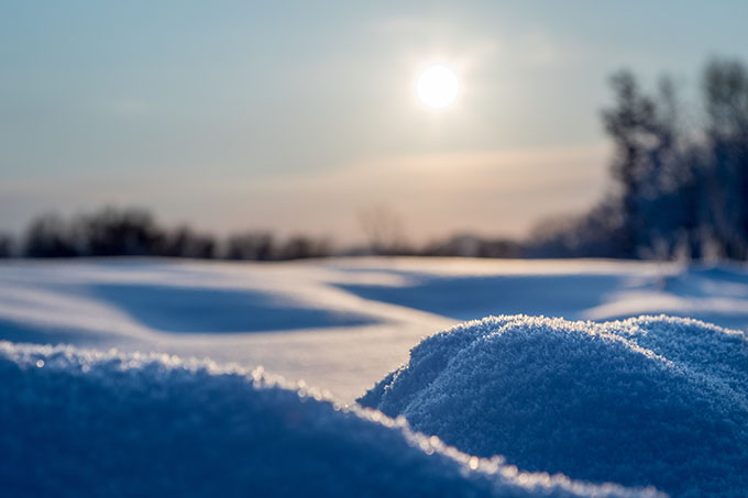
More of this, please. Image:: Niseko Photography
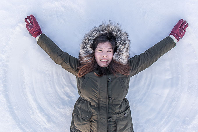
This is no joke, this is snow stoke! Image:: Niseko Photography
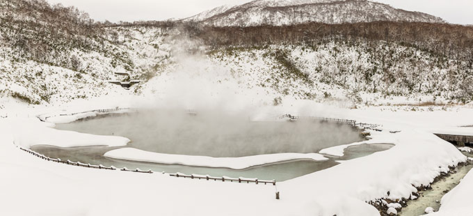
Image:: Niseko Photography
Hakuba forecasts,
snow reports and
live snow cams.
Niseko forecasts,
snow reports and
live snow cams.


