Mountain Safety Collective Backcountry Conditions Report – Friday 18 August
Mountainwatch | Mountain Safety Collective
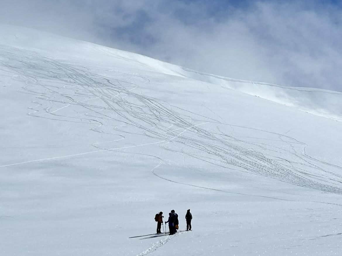
It’s been a great week in the backcountry following last week’s small top ups of new snow, cold nights and clear days. Despite the low volume, this snow healed the icy surface conditions on many slopes providing pleasant turns in good weather. While the bar has been set very low this season, it’s been a welcome relief!
The ‘Friday Front’ is back this morning, with resorts already showing 5-10cm on the cams at dawn. This should continue through Friday with forecast totals of 15-20cm new snow by Saturday morning, accumulating deeper on leeward (Easterly) slopes. This new snow is falling on facets and surface hoar crystals on southerly aspects which in turn is on the rain crust that was buried on 10/08/2023. This may lead to snowpack instability in the coming days.
The new front is accompanied by moderate to strong winds and poor visibility, so expect whiteout conditions through the day. It’s for this reason Mountain Safety Collective has ‘Travel not recommended’ for Friday before the weather starts clearing late Saturday into a partly cloudy day Sunday.
In the alpine Friday there is a Moderate Avalanche Hazard due to wind slab development on leeward slopes. Evaluate snow and terrain carefully before committing to your line. Wind slabs are most unstable when they first form. Today they will likely be touchy! It will be a good day for riding the resort.
With snow forecast to continue through most of the day, along with strong northwesterly winds, visibility will be challenging at best and expect to find whiteout conditions in the alpine. If heading up high, be prepared for whiteout navigation.
The new snow will accumulate on leeward slopes and result in cornice formation on ridges, so as after any storm make conservative decisions in coming days on routes up and down before it’s clear how stable the new snow is.
There’s still icy patches on exposed ridge tops and windward (Westerly) slopes, so keep your ski and boot crampons in your pack, especially if planning to hit steeper terrain. At lower elevations and on exposed ridgetops in the alpine, cover has been very thin to the point of bushwalking across some sections. The new snow is unlikely to fill this in, but may hide rocks and logs that are waiting to blow your edges out.
As always, pay close attention to any weather warnings and always fill out your trip intention forms for NSW or VIC. If you’re keen for some transceiver training, Mountain Safety Collective have set up Avalanche Training Centres at Hotham and a new one at Thredbo.
For more information on staying safe in the backcountry, visit Mountain Safety Collective.


