Mountain Safety Collective Backcountry Conditions Report – Friday August 12
Mountainwatch | Mountain Safety Collective
After last week’s rain we saw a number of cornice collapses and large slab avalanches in the NSW Main Range as the snowpack reset – a good reminder to sit back and assess backcountry conditions during and after a big storm event. This was followed by some cold clear nights and beautiful conditions early this week.
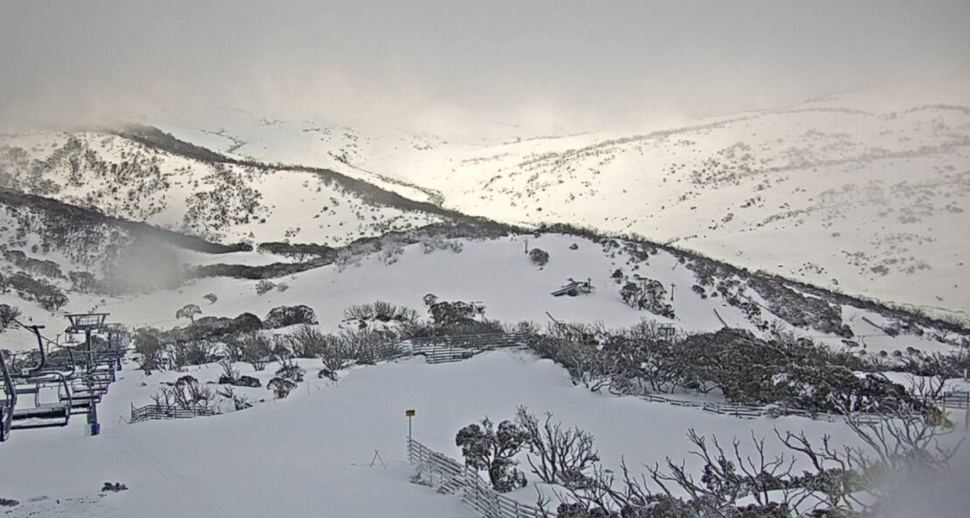
A new front shattered the calm on Thursday afternoon with an unstable northerly flow over the mountains from a complex low-pressure system. Expect unstable conditions continuing through the weekend and into next week leading to rain at lower elevations and whiteout conditions in the alpine. This is not the weekend for an extended backcountry tour, so assess your local weather conditions carefully before making any concrete plans. If you are heading out, tree skiing on slopes sheltered from the wind but high enough to make the most of any new snow will be the best option.
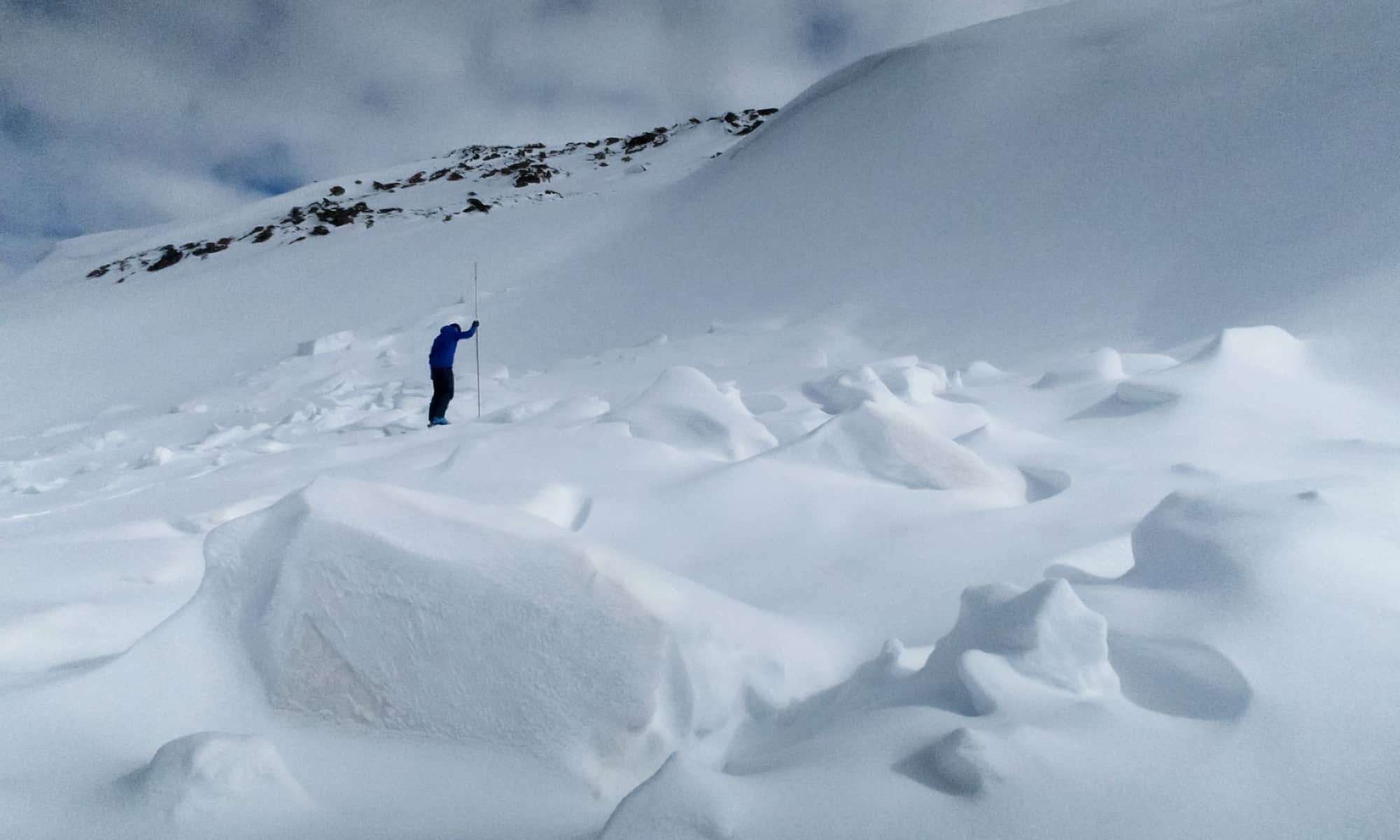
NSW Main Range (Thredbo, Perisher, Guthega, Charlottes Pass, Ramshead Range, Western Faces) – Friday Report
New snow overnight will likely be heavy and make for tricky skiing. In the alpine there will be new cornice and windslab development from consistent northerly winds. It is possible that these will be reactive to human triggering. Evaluate snow and terrain carefully and identify areas of concern. Also, there will be decrease visibility in the alpine today. Whiteout conditions are possible throughout the day. Be prepared for whiteout navigation. Read the full report »

VIC Dividing Range (Hotham, Falls Creek, Bogong, Fainters, Feathertop) – Friday Report
Roughly 12cm of wet heavy snow over the last 24 hours. This new snow sits on a firm base and will make for difficult skiing in subalpine and alpine. Possible Loose wet avalanches on 35+ terrain. Poor Visibility in the alpine and always be prepared for whiteout navigation. Read the full report »

VIC Front Range (Buller, Buffalo, Stirling, Baw Baw) – Friday Report
Roughly 12cm of wet heavy snow over the last 24 hours. This new snow sits on a firm base and will make for difficult skiing in subalpine and alpine. Possible Loose wet avalanches on 35+ terrain. Poor Visibility in the alpine and always be prepared for whiteout navigation.

For more information on staying safe in the backcountry, visit Mountain Safety Collective.

