New Zealand Forecast, June 16th – Mostly Fine for Southern Lakes Openings, NE muck for Canterbury Sunday Arvo
Mountainwatch | The Grasshopper
Valid Friday 16thJune to Sunday 18thJune
A big kia ora koutou to everyone keeping a close eye the NZ snow season, whether you’re one of the locals, or waiting for the right moment to jet in on a ski trip – you’ve come to the right place.
Here, I’ll tell you all you need to know regarding the weather, focusing mainly on the ski fields in the Southern Lakes and Canterbury. If something big is happening on Ruapehu too, then I’ll let you know.
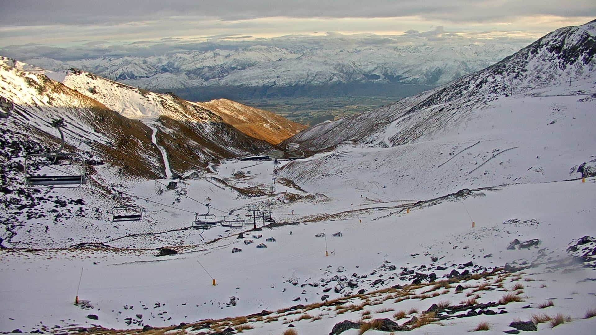
Mt Hutt snuck open it’s gate last weekend and is currently reporting a base of 11-24cm. Ski fields down in the Southern Lakes are reporting similar bases and will open their gates today (Coronet Peak) and Saturday (Remarkables & Cardrona). Treble Cone, the remaining Canterbury fields, as well as Ruapehu fields, plan to open late June.
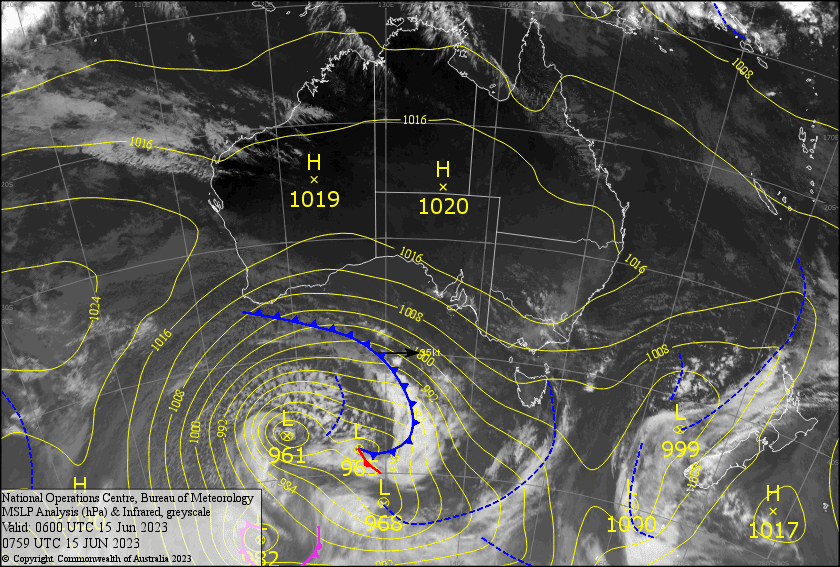
A light NE flow will bring mostly fine conditions today and over the weekend. However, cloud and drizzle will push into Canterbury later on Sunday, with rain + snow developing at night.
Friday 16th
A partially cloudy day, most of it with a high base, and Treble Cone may see a spot or two of precip spill over from front over on the west. Northerly winds.
A clear, bluebird day for the Canterbury fields, with a mild NE breeze.
Saturday 17th
A mostly fine day, but cloud will push over Canterbury during the afternoon with a spot of light drizzle possible as NE winds pick up there. Just light NE breezes for the Southern Lakes.
Sunday 18th
Blue and sunny for the Southern Lakes, with light NE breezes.
NE winds will keep pushing cloud over Canterbury, with patchy drizzle during the afternoon turning to rain at night, which will fall as snow to 1600-1700m.
Extended Forecast
A NE flow will continue over NZ during Monday as a series of frontal and low pressure systems approach from the west, with rain + high level snow in Canterbury easing late. A few light showers will spill over from the west during Tuesday and Wednesday as the low centre continues to approach, but then parks up just off the south west corner of the South Island.
Here the low remains during Thursday and next Friday, with a few more light showers spilling over the Main Divide, but this time they’ll be falling out of cooler N-NW winds, and will therefore consist of snowflakes. It won’t be much, but they may add up to a few or several centimetres.
Chances are the low will pass over or dip under the country next weekend, with too-early-to-tell consequences. My gut feeling is that early the following week holds some potential for snowfall as cold air from the south should follow on the backside of this low.
That’s all from me today, folks. See you again on Monday!
Grasshopper


