New Zealand Weekly Forecast, Tuesday, July 26 – Lows Dominate Across NZ This Week – Again
Mountainwatch | The Grasshopper
Tuesday 26th July and Wednesday 27thJuly
Last week, we put the North Island firmly on the naughty step. Well, it may be a new term but there’s no new leaf here. Gale force northeasterlies on Tuesday morning bring heavy precipitation to Ruapehu, mostly falling as rain.
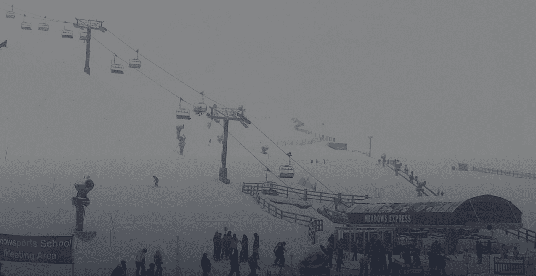
A change to a gusty, showery, northwest flow Tuesday afternoon and continuing through Wednesday brings little change in the airmass, and I don’t want to unduly raise hopes – resorts may be closed with only a low chance of a skiable window on Tuesday afternoon.
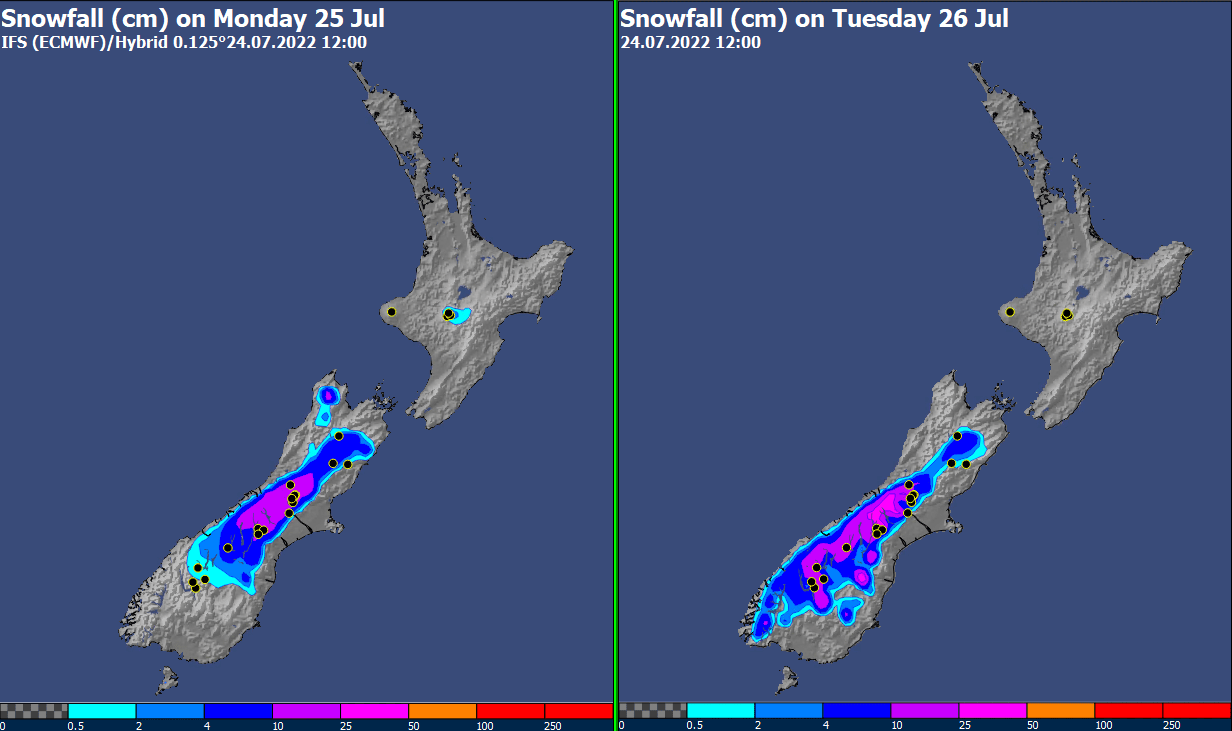
A slow-moving low lies west of the upper South Island on Tuesday, with moist easterly gales pummelling the foothills and the Alps. The snow level should drop to 600-800m for a time on Tuesday – so most southern fields should see some worthwhile snow, possibly up to half a metre again in some favoured spots in Canterbury. If you are out and about in the region, note that this could cause quite a lot of flooding, disrupted travel and raised rivers.
Wednesday sees a definite improvement in winds and weather across the Canterbury and Southern Lakes fields – although we’ll need to check that the timing doesn’t slow down. Cloudy conditions hang around – so not your true Bluebird day – but stay tuned for the chance of getting some freshies.
Thursday 28th July and Friday 29th July
Gusty west to northwest winds continue across the North Island on Thursday and Friday, meaning wind and vis likely remains an issue on the Ruapehu slopes on both days. However, colder air circles in, dropping the freezing level to about 1800m by Thursday evening, meaning ongoing showers across both days will fall as snow on the higher slopes of the Maunga.
The devil will be in the detail over the South Island fields on Thursday, as a complex low pressure area migrates slowly eastwards, ahead of a northwest front. Expect a lot of lingering low-level cloud, and a couple of spells of (snow) showers (with free-air freezing level ranging between 1200-1400m), but winds should remain modest and Grasshopper reckons there may be a few “sickies” being taken.
By Friday, the weather likely starts to deteriorate again over the southern fields, with increasing westerly winds, and a couple of fronts flicking past.
Saturday 30th July and Sunday 31st July
The weekend weather maps once again look very unsettled for New Zealand – as has been typical for the kiwis this winter! Think ‘windy’ with a couple of mobile fronts moving across the country. Winds should change from gusty northwesterly to a very cold southwesterly. Once again, there is snowfall in the forecast for the South Island fields (with a risk of low level snow for the Southern Lakes fields, if things play out as expected).
Extended Outlook
The South Island remains the winner for early next week, with a ridge building in, and some skiable days on the cards. By Wednesday, the High may be bulky enough that even the North Island shares in the love, and sees some better weather.


