World Snow Wrap, December 29th 2023 – A Couple of Top Ups in North America, Up and Down in Japan and Snowy Times Continue in Europe
Mountainwatch | Reggae Elliss
As we head towards 2024 the snow season is slowly improving in Japan and North America while the European Alps continue to see regular big storms.
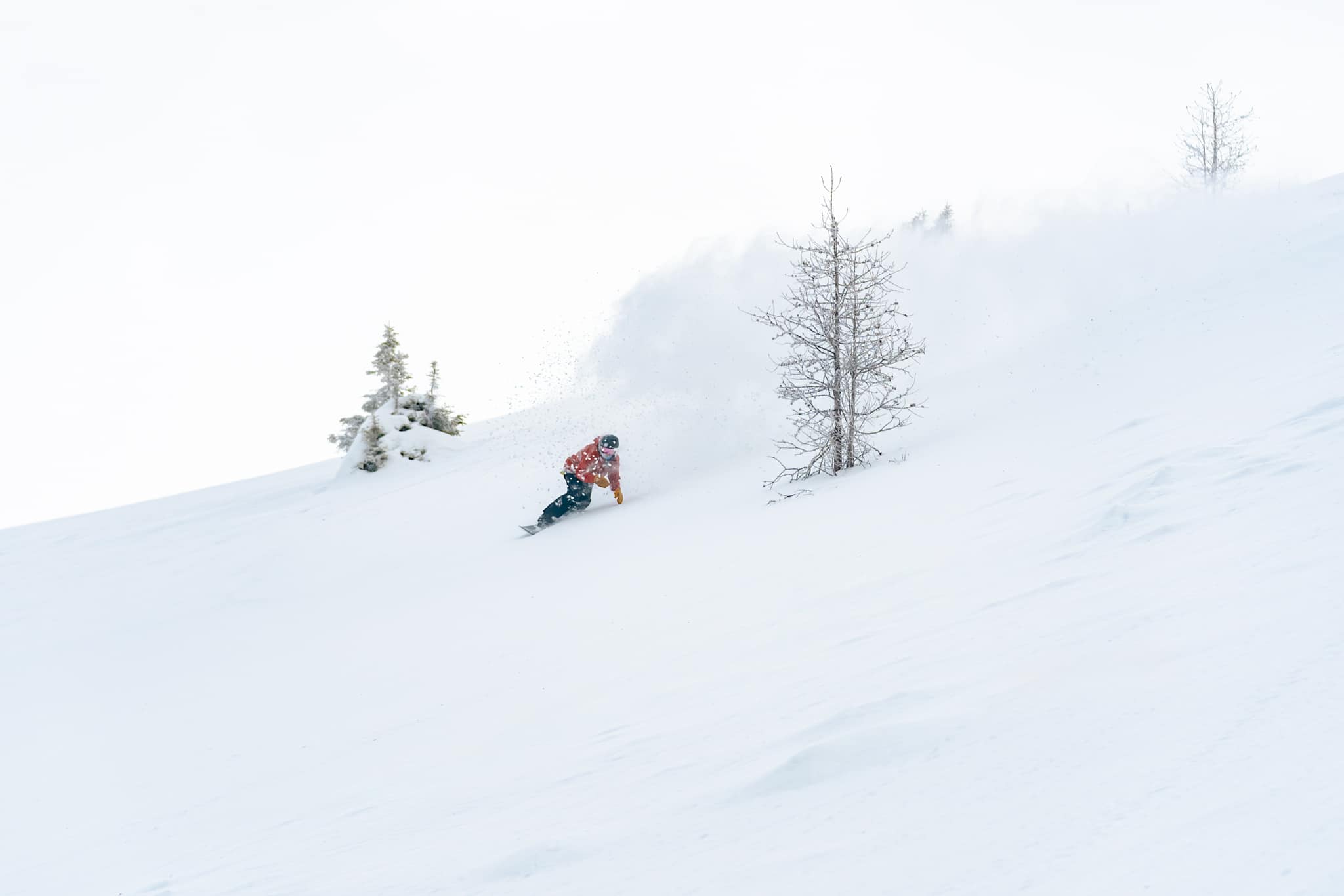
Japan
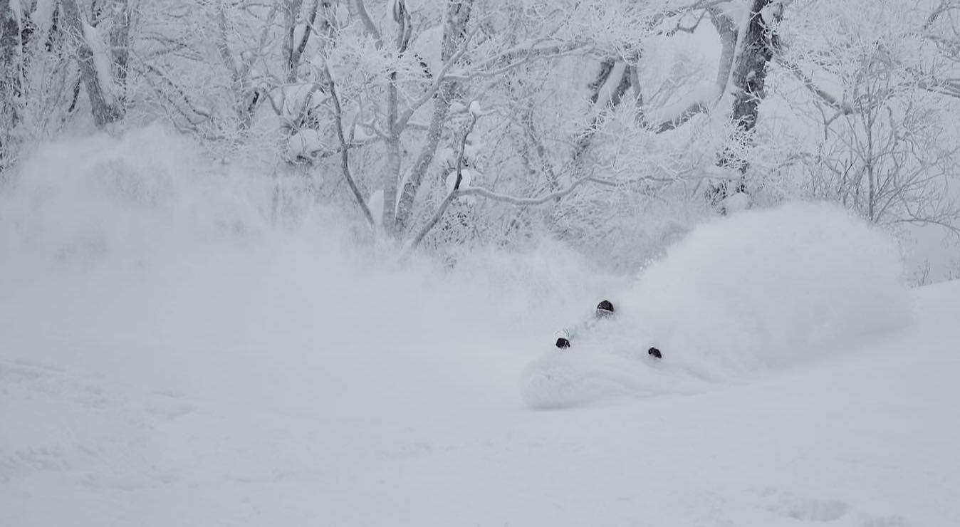
It has been a bit hit and miss in Japan with fluctuating temps that have resulted in some rain at lower elevations in both Hokkaido and Honshu. The cover in all resorts is pretty low tide but Hokkaido had a good run of much-needed snow last week with Niseko receiving 75cms in the four days leading into Christmas, followed by another 33cm on Tuesday and Wednesday. The cover in Niseko is improving but it is still marginal off piste with a lot of “bamboo-bashing” involved and it needs a lot more snow before the side-country gates will open.
Prior to Christmas Furano saw 33cms but a solid storm dropped another 27cms on Wednesday with a few light snowfalls yesterday. Once again, it is marginal off piste but those taking backcountry tours have in found some nice snow.
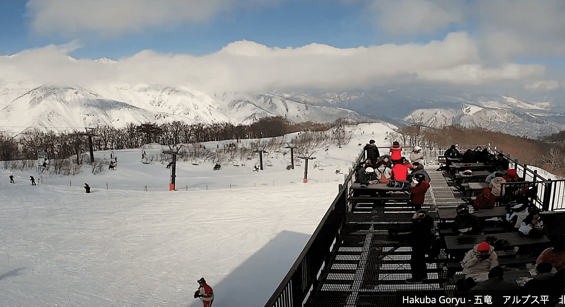
Snowfalls on Honshu also picked up in the week before Christmas, Myoko receiving 82cms, Hakuba 55cms and Nozawa Onsen 78cms. The snow did fall to the base, but a lot more is needed at lower elevations and to fill in more advanced off-piste terrain.
The next storm is due on New Years’ Eve, with snow falling across Hokkaido during the day and continuing into the night with heavy falls at times. It will hit Honshu later in the day with rain at first but in his forecast yesterday the Grasshopper said it should turn to snow before midnight with snow down to lower elevations early on Monday. Another front should deliver snow to Niseko late on Tuesday, the storm moving into Central Honshu on Wednesday night.
USA
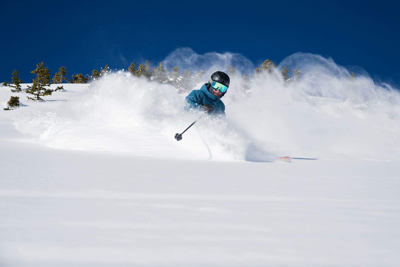
It has been a lean month for snowfalls in the Rockies with little or no snow for two weeks until a storm delivered for Christmas in Colorado, Aspen picking up 18cms, Vail 20cms while Steamboat enjoyed some deeper Christmas powder with 68cms falling on the 24th and 25th. Unfortunately, that storm missed Jackson Hole which hasn’t seen a good fall since December 9/10 and it is a similar story in Utah with dry conditions over the past two weeks although most resorts picked up 15cms for Christmas.
The slow season continues in California with the Tahoe resorts picking up 25cms last week which saw more terrain opening and some fun fresh turns at higher elevations. It was a similar story in Mammoth with 20cms last Tuesday/Wednesday, but since then it has been clear across the Sierras.
The quiet pattern will continue into the year in the Rockies while the Sierras should pick up some snow this weekend with 10-20cms likely. Check the latest forecast from the Grasshopper for the details.
Canada
No big storms in Canada over the past two weeks although Whistler has seen some snow up high, including 17 cms on Tuesday, but also plenty of rain below mid-mountain. It has also been super busy over the past week resulting in long lift lines each morning. Resorts further inland also saw some snow with Revelstoke picking up 35cms at higher elevations over the four days leading into Christmas while Big White received 15cms.
It has been dry in the Northern Rockies with sporadic light snow falls dropping just 15cms over the past two weeks in Kicking Horse while Lake Louise and the Banff resorts seeing just 20cms since December 15th. While there hasn’t been any powder, cold temps are keeping the snow in good shape with dry cold snow on and off piste.
The forecast is for high level snow for the Coast Mountains this weekend, but initial warm temps will see rain at base level for Whistler before things get colder as precipitation eases on Saturday night. The storm will push inland with light snowfalls for resorts in the Canadian Rockies on Saturday night.
Europe
It has been an incredible start to the season in the European Alps and although there has been some unstable and mild weather, the good snowfalls are set to continue. After a week of calm weather in the Alps, the weather became more active in the lead up Christmas, a storm last week delivering heavy snow at times but winds gusting up to 170m/hr lead to widespread lift closures. Snow totals were impressive in Austria’s Arlberg region, St Anton reporting a three-day total of 120cms from Dec 22-24.
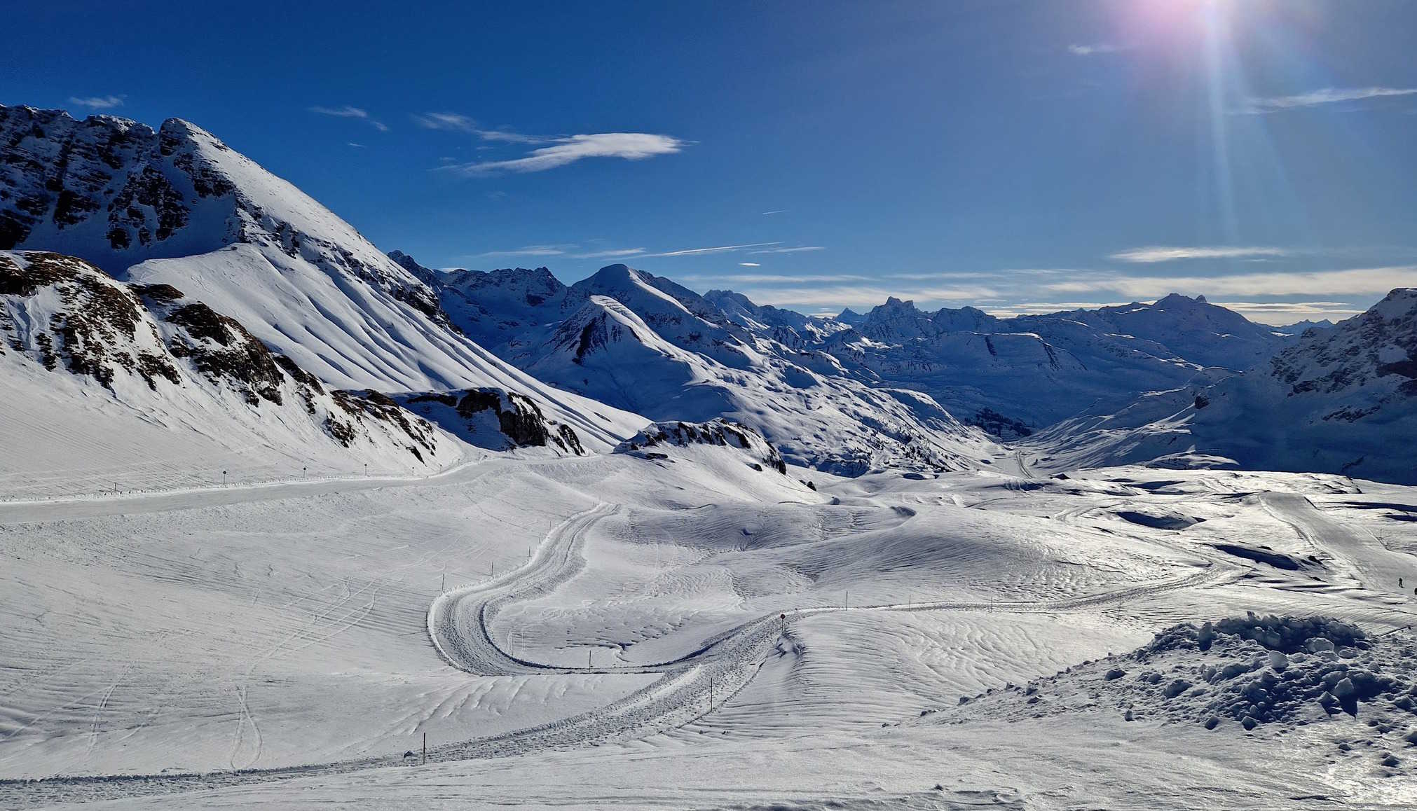
The was a spike in temps last weekend which saw rain, even at high elevations before the weather cleared for mainly fine conditions over the past few days. The next cold front is due on New Year’s Eve but once again snow levels may be high before a stronger more active front arrives around January 2nd. The latest forecast models are calling for some big totals for with 80cms for Val d’Isere, 45cms for St Anton and 54cms for Verbier.
Where We’d Like to Be This week
The Arlberg, Austria, which includes international resorts St Anton, and Lech/Zurs. With another 45cms on the way and the busy Christmas crowds heading home, next week is a good time to enjoy one of the world’s great ski areas.


