Australian Forecast – More Soggy than Snow as East Coast Low Turns Warmer
Published early Wednesday, 2nd July 2025
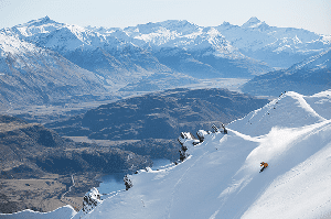
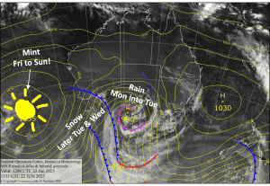
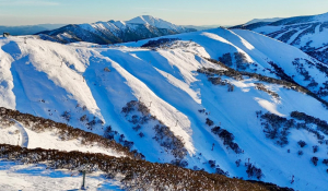
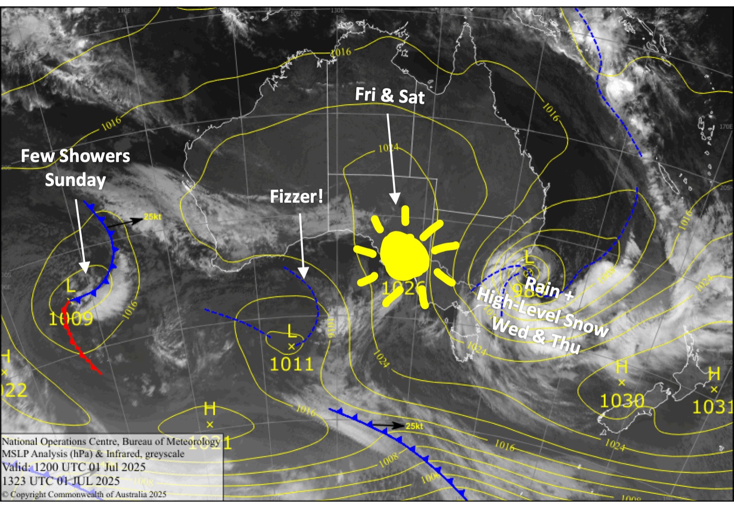
An East Coast low will dump a whole swag of precip onto the Aussie Alps today, Wednesday, and Thursday. Things aren’t looking as good as the previous forecast, as temperatures are now looking a little warmer. As a result, snow levels will mostly stick above 1800m, although there’s a bit of uncertainty about that. The tops could receive a sizable dump of dense snow, while mid and lower slopes will likely come away much worse off.
A ridge of high pressure will give us a couple of nice days, Friday and Saturday. A weak low-pressure system then passes over on Sunday, dragging in a few showers, which may fall as snow about the tops again.
Wednesday 2nd July
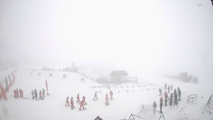
A wet and grotty day, with a whole swag of rain and strong southerly winds. The rain will fall as dense snow up high at times, mostly above about 1800m, morning and night.
Thursday 3rd July
Rain and high-level snow gradually eases and clears throughout the day, first in Victoria and then New South Wales, while southerly winds back off. Snow levels will mostly sit above 1700-1800m.
Friday 4th July
Remaining cloud cover will clear early for a fine, sunny day. Northwest breezes develop.
Saturday 5th July
Mostly sunny again, with northwest winds.
Sunday 6th July
A few showers of rain, possibly falling as snow up high, while northerly winds gradually die away.
Extended Forecast
Better news for next week. From Tuesday, the 8th, to Friday, the 11th, a series of active cold fronts from the west will pass over the Australian Alps, bringing what could be a solid dump of snow. Models have been tracking well, and are currently picking around half a metre of powder. Keep those fingers and toes crossed!
That’s all from me today, folks. I’m sending out these forecasts every Monday, Wednesday and Friday throughout the season. Have a great couple of days, and I’ll see you back here on Friday.
Grasshopper