Australia – “Best Of” Photos To Get You Psyched as The First Storm of The Year Hits The Aussie Alps
Mountainwatch | Photo Spread
It’s only five weeks until the start of winter and while there’s plenty of uncertainty about this upcoming ski season, the first solid snow storm of the year is going to hit the Aussie Alps tomorrow.
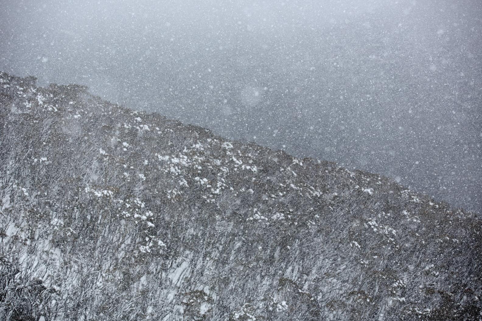
A strong cold front with cold southwest winds straight out of Antarctica is set to deliver freezing temps and blizzard conditions and there is a good chance for significant snow totals from tomorrow night through to Saturday.
To get an idea on how significant, we woke up the Grasshopper from his pre-season slumber and he casually described this storm as a “very early wintry blast” and noted that the storm has beefed up over the past 24 hours.
“From Thursday through into Saturday night we could see 20-50cm fall over Aussie ski resorts, while the upper reaches of the Snowy Mountains could top out at 70cm, possibly more.”
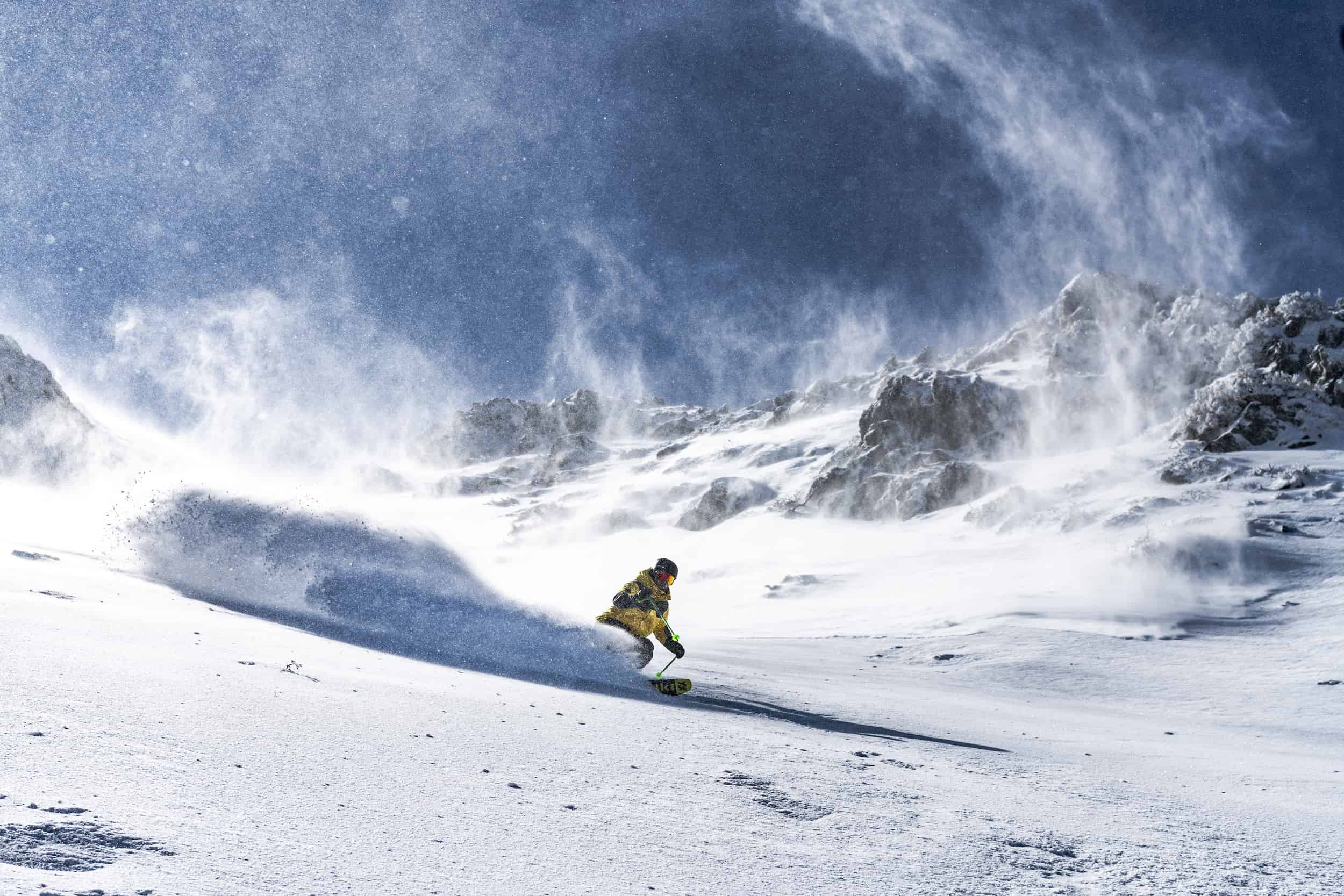
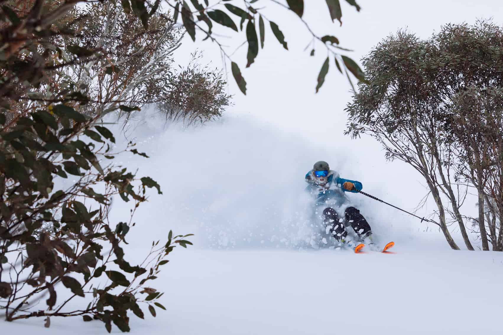
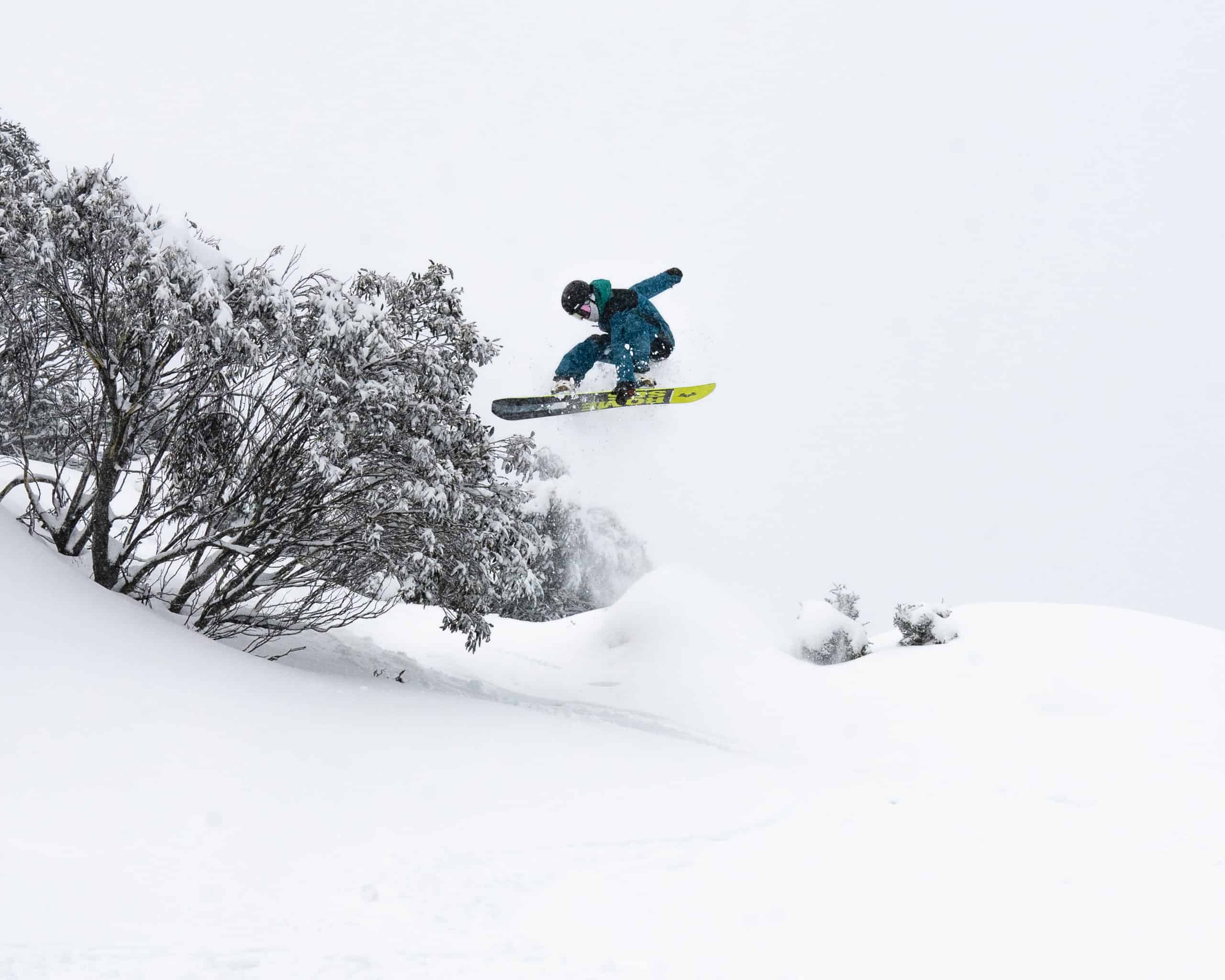
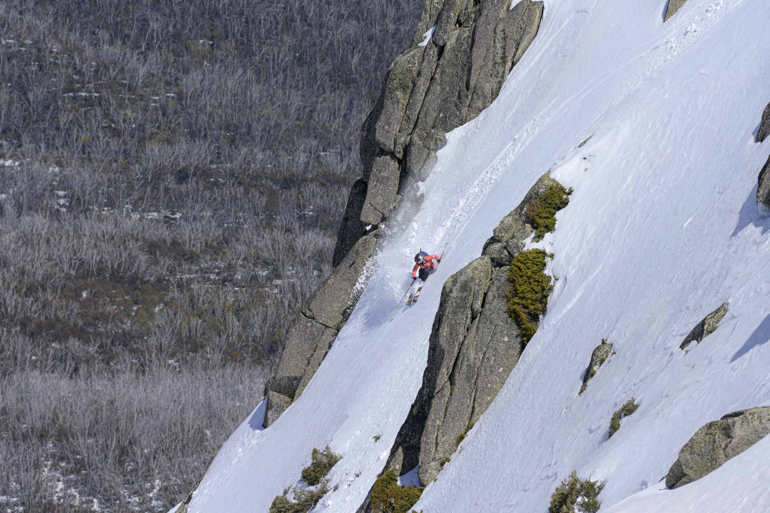
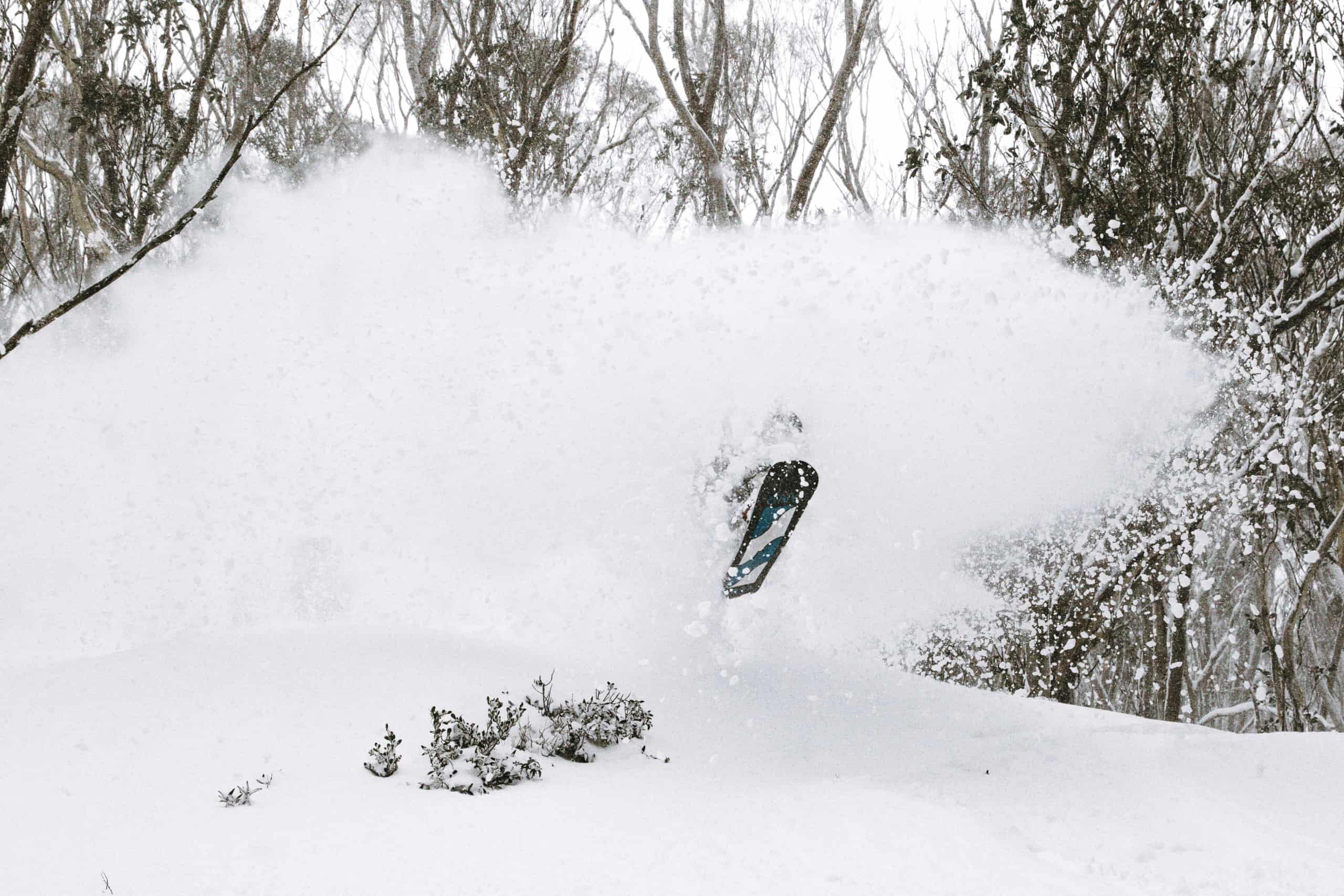
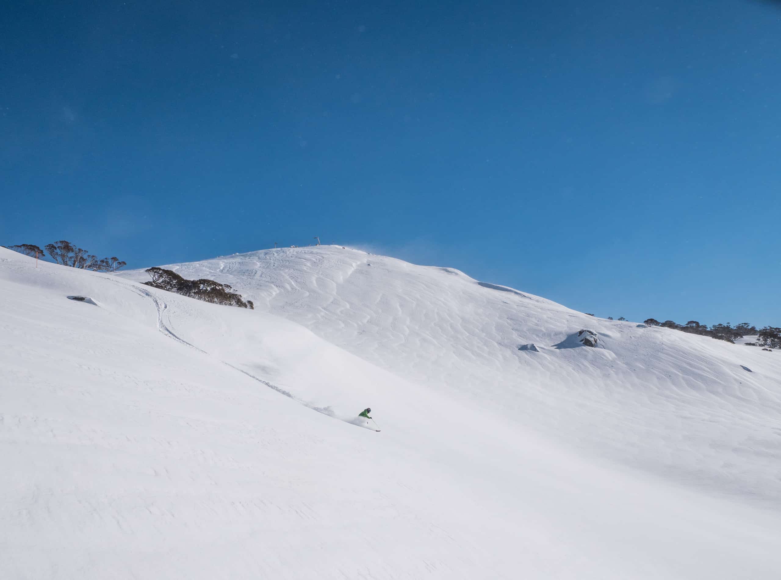
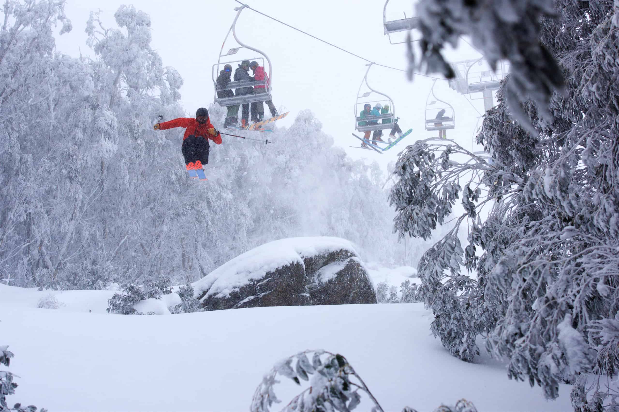
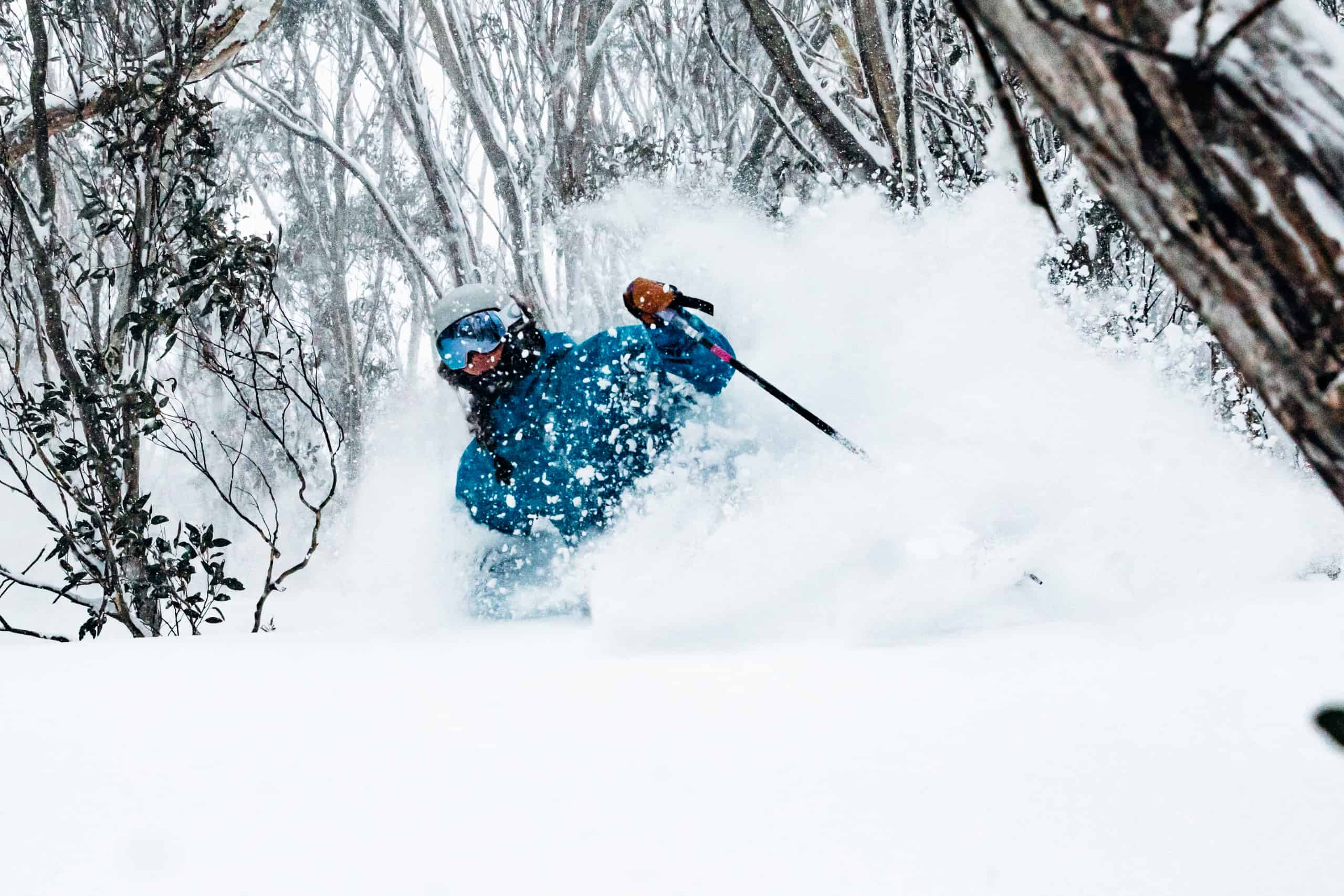
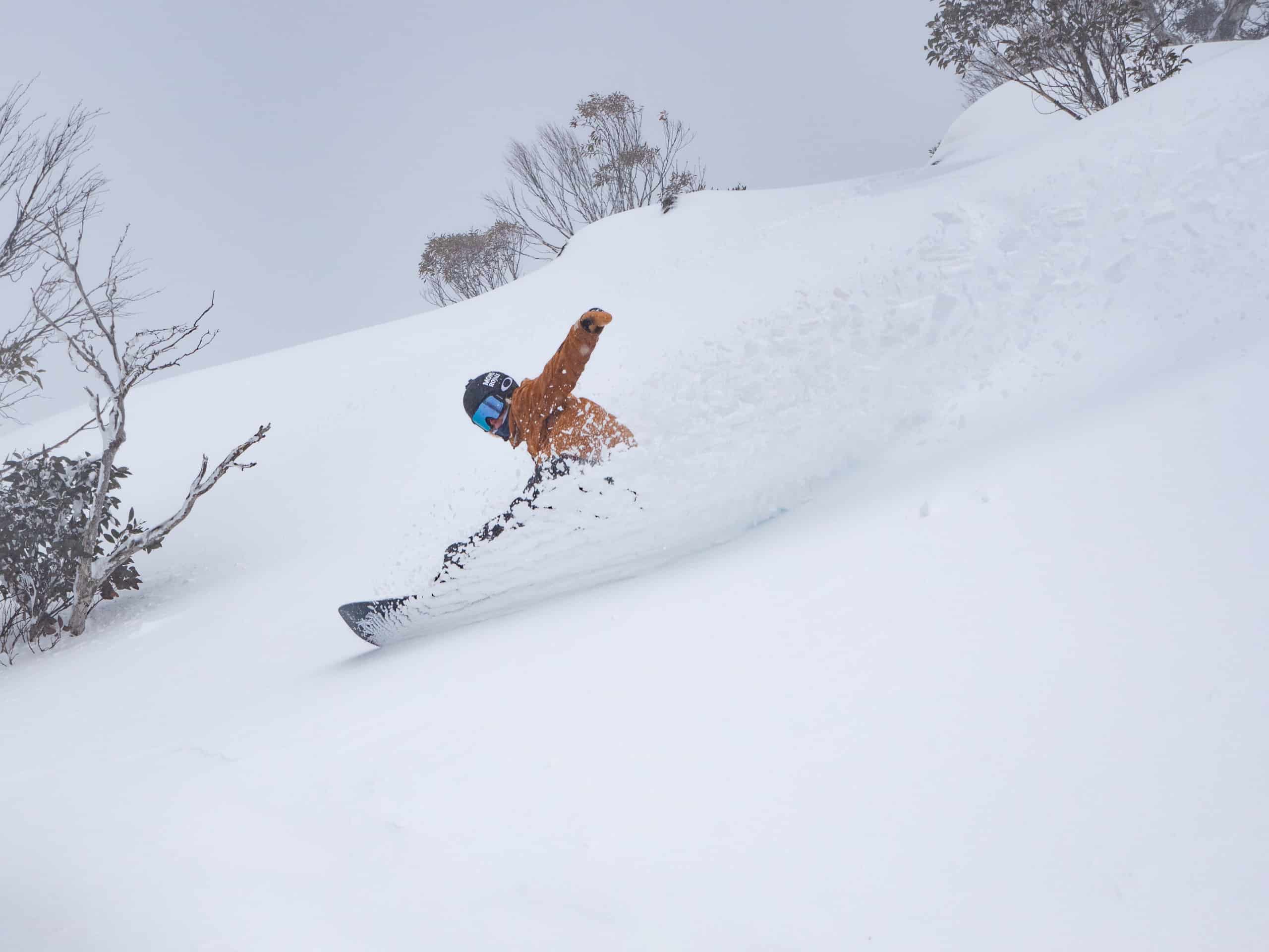
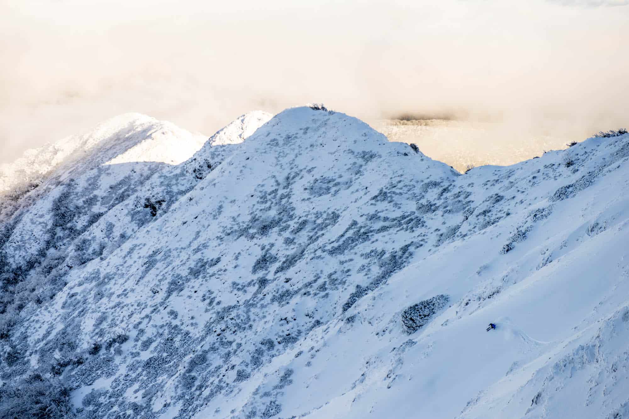
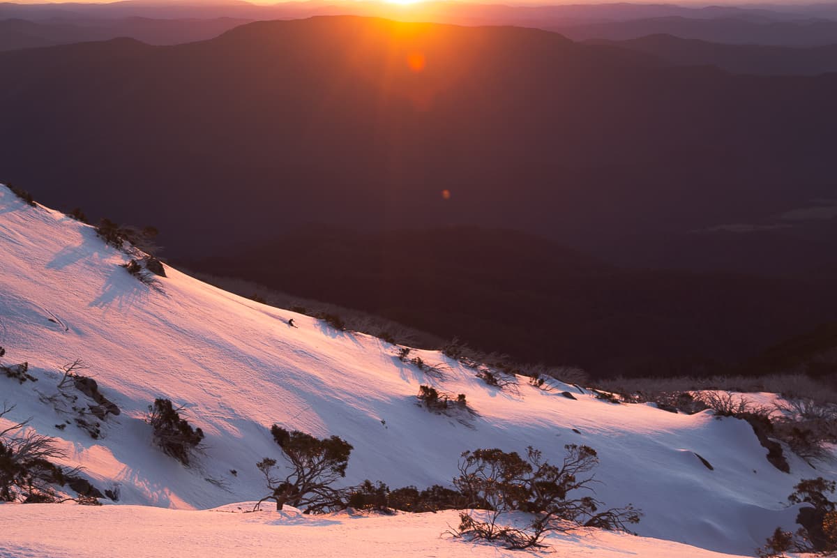
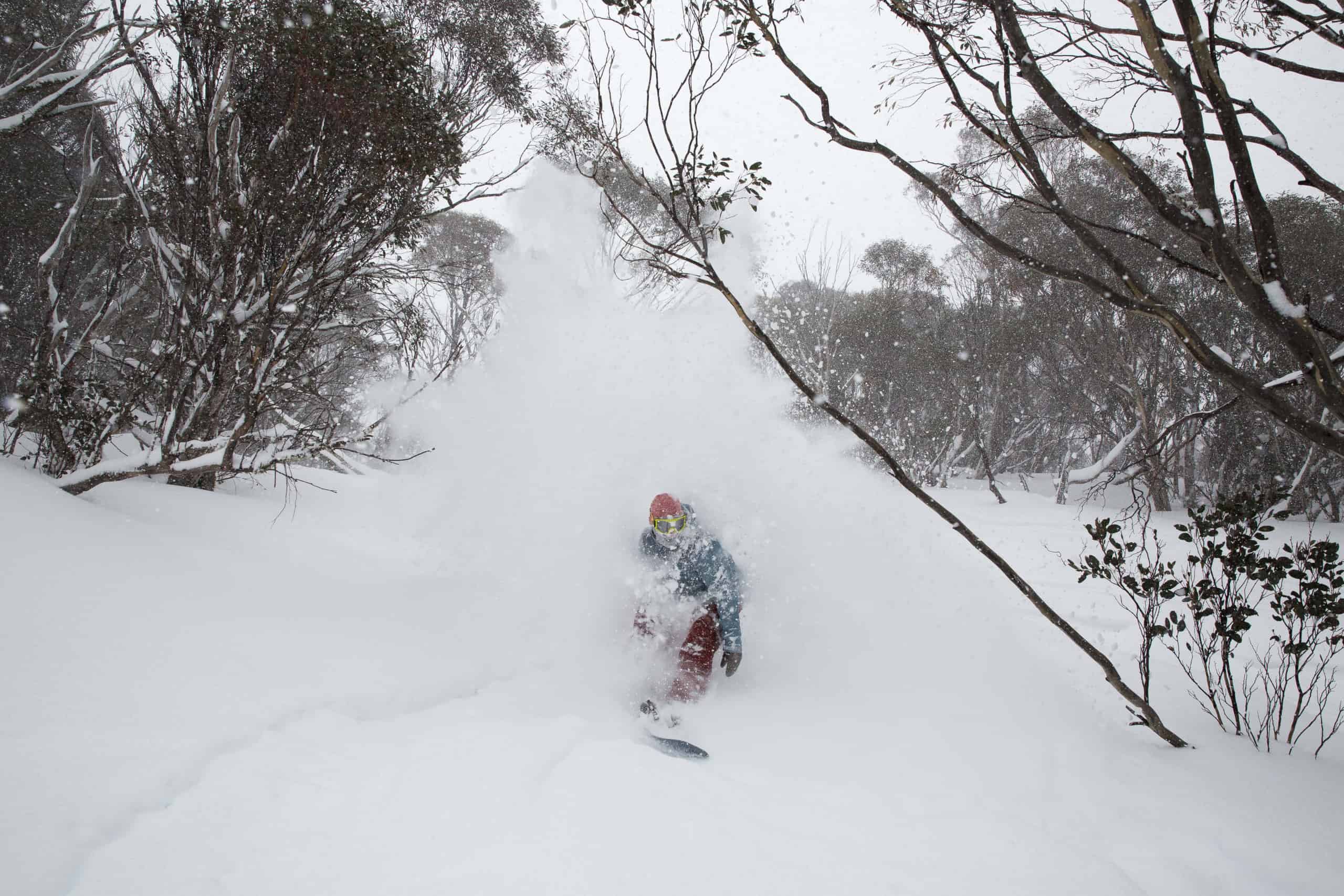
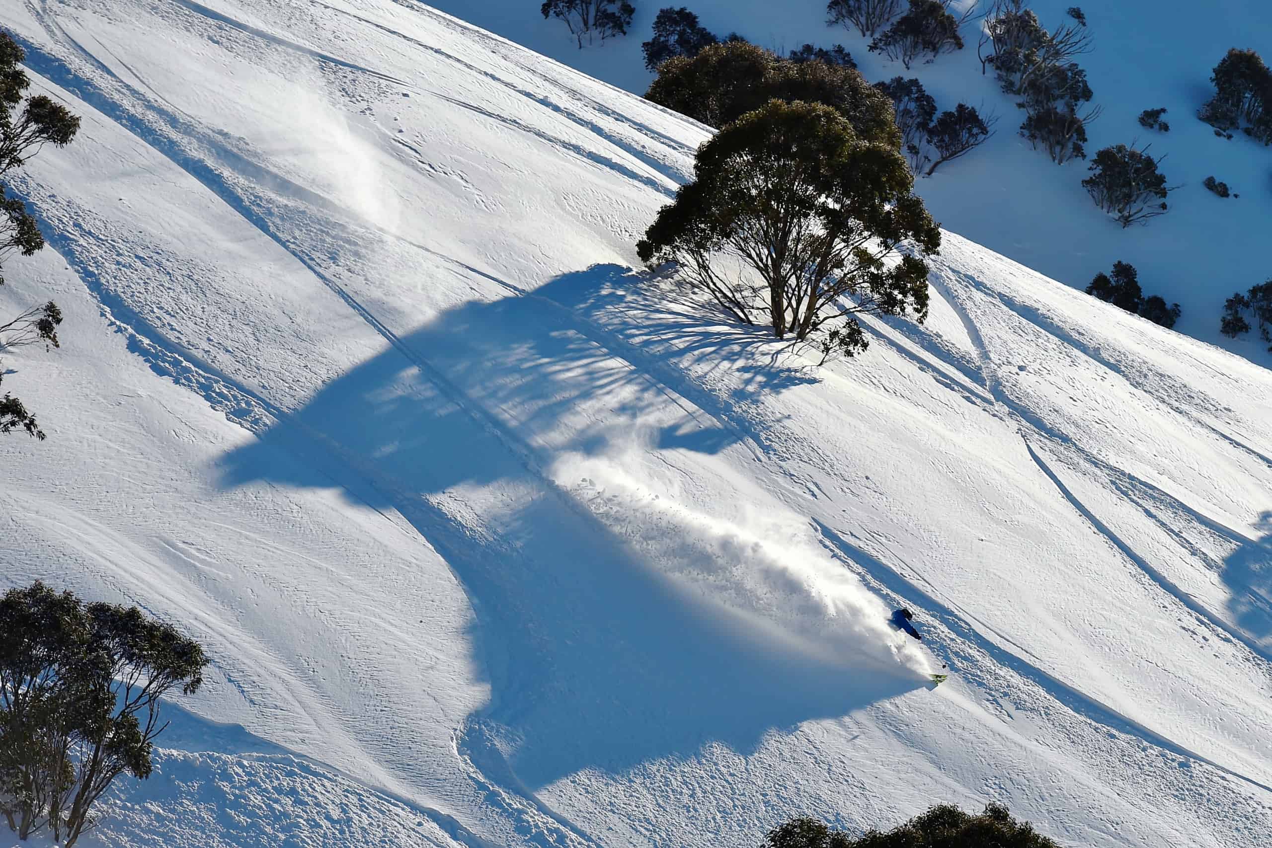
So, this storm could be a big one, the kind of storm you wish for during the ski season, maybe even be the kind of storm that ends up with a name like The Blizzard of Oz or Snowmageddon. This forecast has us thinking about why we love winter in Australia – storm skiing, pow turns through the snowgums and bluebird days in the backcountry.
The Covid-19 situation is improving daily with Scott Morrison talking this afternoon about relaxing restrictions on domestic travel and even allowing trips to New Zealand. Hopefully, the easing of restrictions will continue over the next couple of months and we’ll be enjoying everything the mountains have to offer again this ski season, albeit with social distancing and other measures in place.
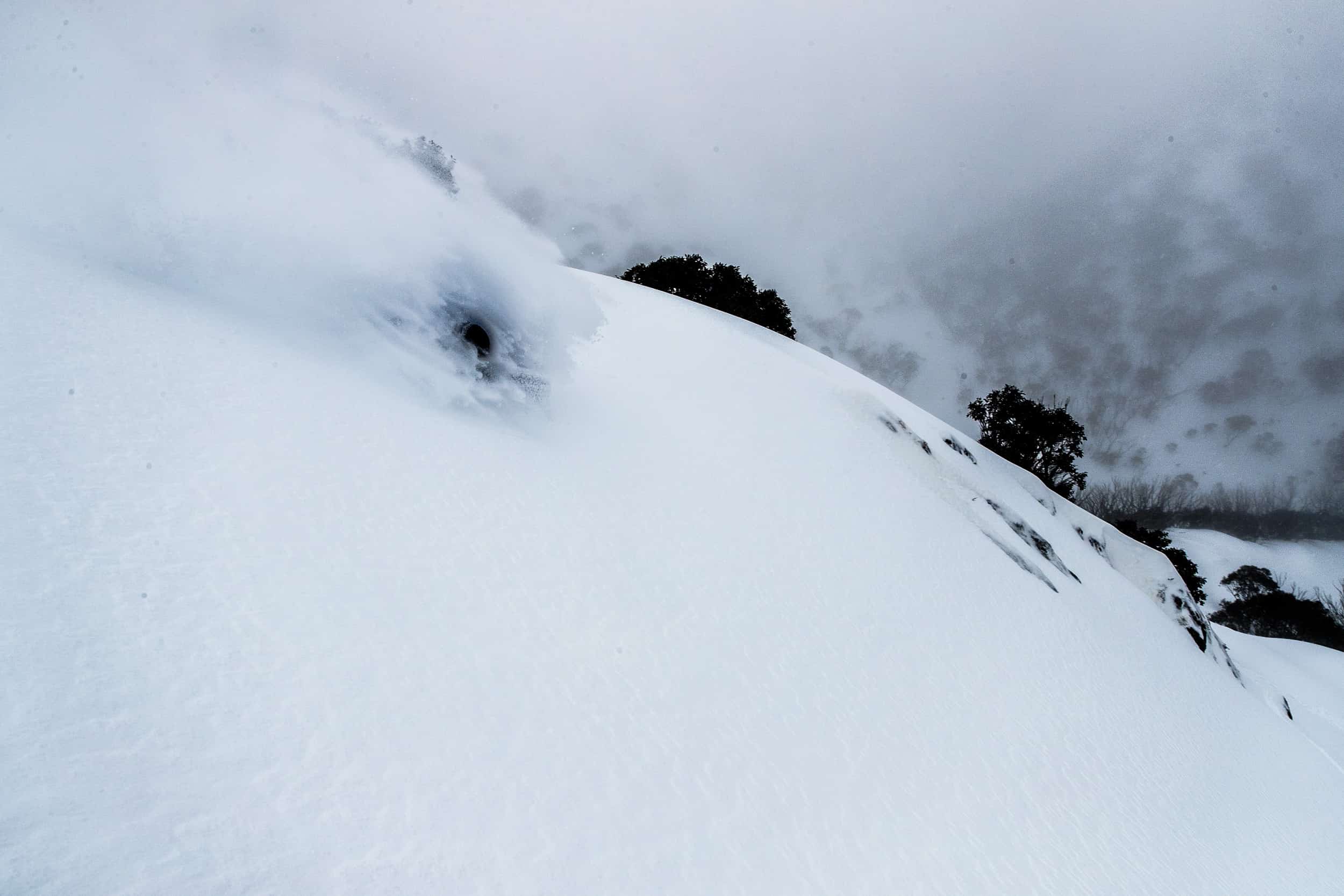
In the meantime, to tide you over until the lifts start spinning, here are some of our favourite photos from the past few Australian winters.