Australian Weekend Forecast, September 9 – Showers and Sunshine Today and Saturday, Wintry Snow Showers from Late Sunday
Mountainwatch | The Grasshopper
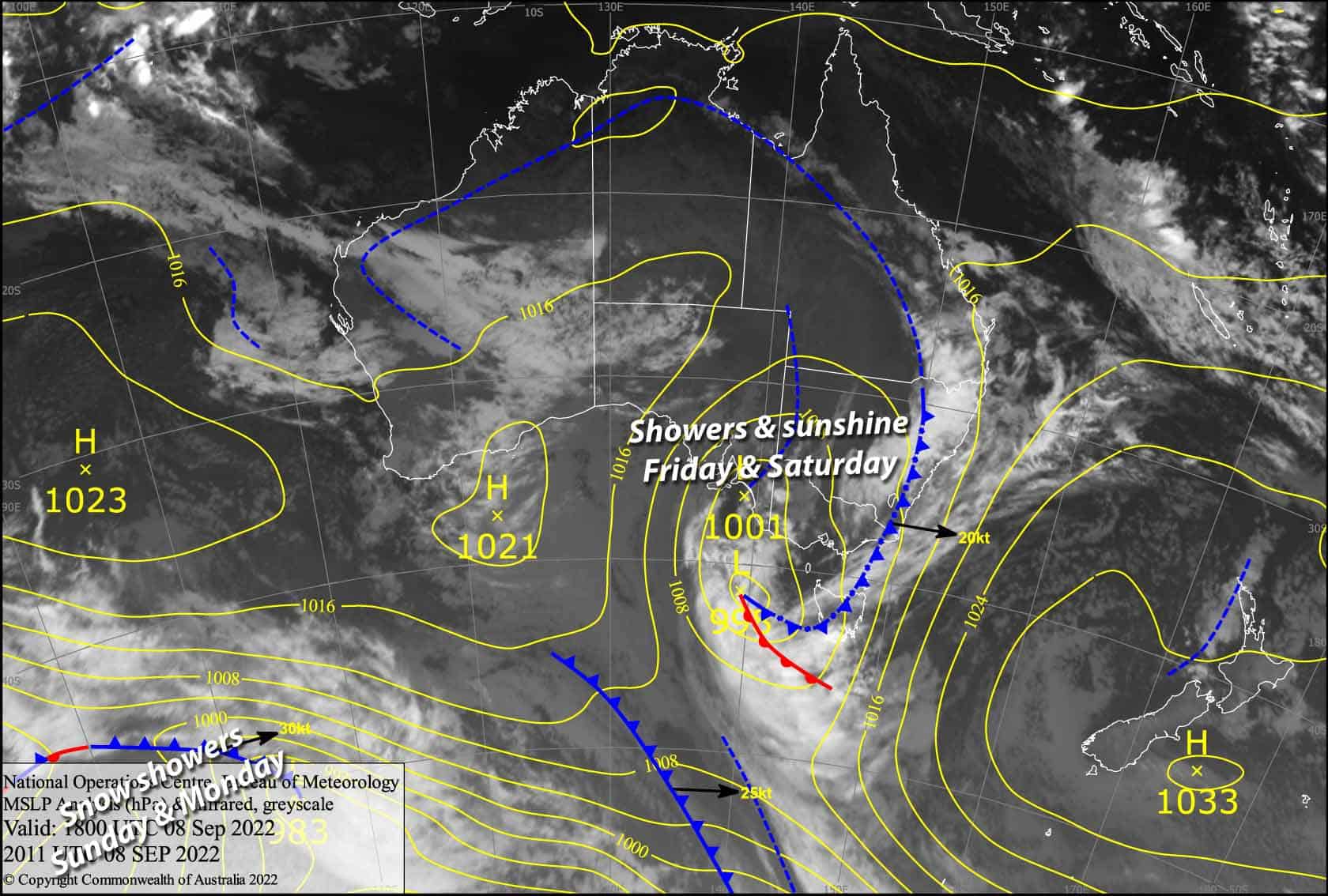
Valid Friday 9thSeptember to Sunday 11thSeptember
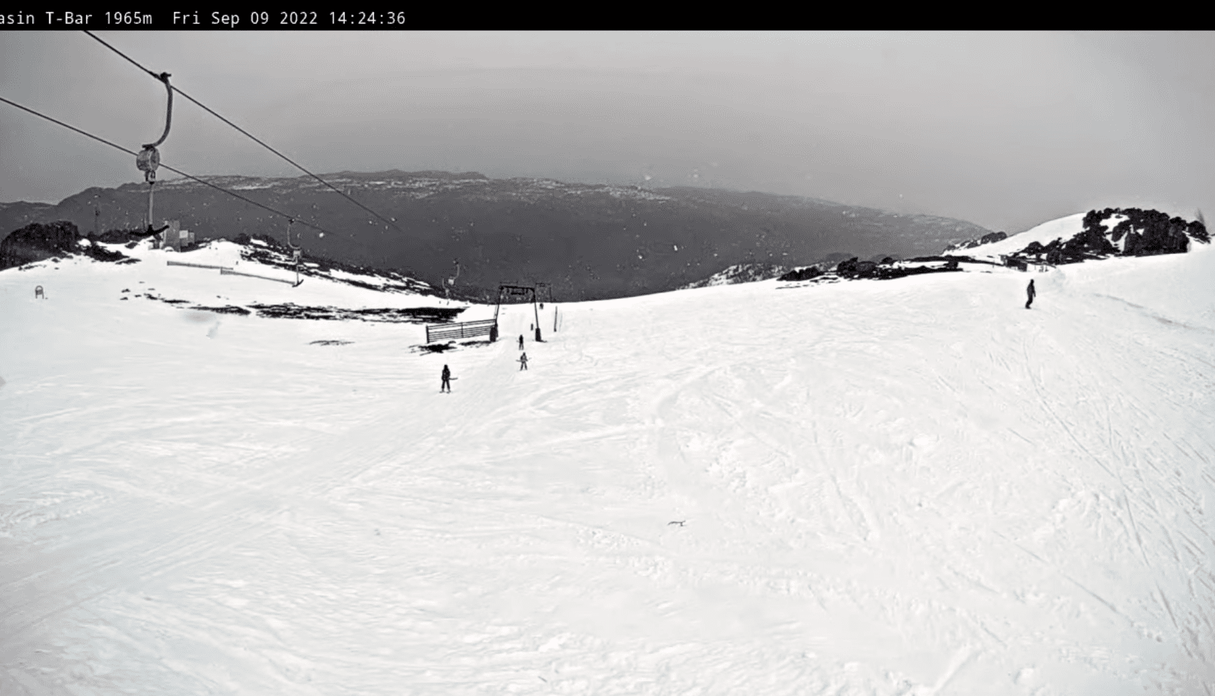
The worst of the weather associated with this low sitting to our southwest has passed, and our snowpack has come up OK this morning despite the rain yesterday and last night.
However, today and Saturday will bring a bit more of the wet stuff mixed in with some sunshine as the low makes a beeline over Tasmania, the temps remaining too warm with snow only falling about the very tops.
A weak cold front will spread snow showers eastwards during the second half of Sunday, with just a few to several centimetres expected, along with freezing temps.
Friday 10th
Rain showers continue throughout the day with reduced visibility at times, but there’ll also be decent sunny spells between breaks in the cloud this afternoon. N-NW winds gradually back off a touch.
Saturday 11th
Rain at times with reduced visibility, falling as snow above 1900 but lowering briefly during the evening while easing. The northwest breeze turns westerly, and then picks up during the afternoon.
Sunday 12th
A mostly fine day. However, cloud will linger to the south over Baw Baw and Buller and showers will spring up there during the afternoon, falling as snow to around 1500m. Snow showers spread elsewhere during the evening with snow levels lowering to around 1300-1400m or less. Brisk westerly winds.
Extended Forecast
Snow showers will persist into Monday, with any remaining flurries clearing Tuesday as high-pressure nudges in, calming the cold southerly winds and setting up another perfect night of snowmaking – although by now most resorts have finished snowmaking for the year.
Wednesday will be the pick of the bunch, as a ridge is likely to provide a fine day after the fresh top-up with cold temps.
Another low-pressure system is likely through the back half of next week. The leading front should bring a deluge of rain starting on Thursday, falling as snow up high, before a cold change next Friday brings snow to lower levels through into next weekend. Forecasts vary and so do snow amounts, but whatever snow we do receive will be great for this time of year, which can often pass by without any snowfall at all.
That’s all from me today, folks. This week I’m sending out the forecasts Monday, Wednesday and Friday. Have a great day.


