Backcountry Awareness : A Few Tips For When You Go Beyond The Boundaries – Basic Navigation
Mountainwatch | Doug Chatten
When it comes to heading into the backcountry, the old adage is “Know Before You Go”, and Doug Chatten from Snowy Mountains Backcountry knows better than most, so we’ve hit him up for regular backcountry advice that anyone heading into the backcountry should take on board. In this column Doug gives us the rundown on basic navigation:
Right up there with the most important skills of a backcountry enthusiast is being able to navigate!
“I’ll be okay…I don’t need a map…I know where I’m going!“Yeah right…. good luck with that one. If there is one discipline above all the rest you should develop, it’s navigation.
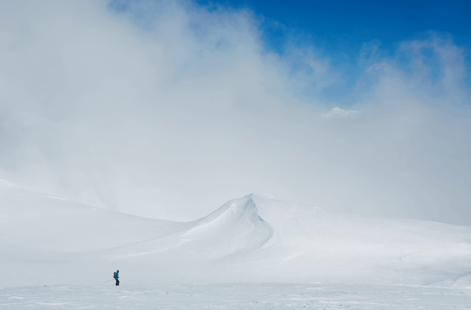
I’ve found a lot of lost sheep wandering around in the top paddock on the main range over the years. I have encountered many disorienting experiences at times being overcome almost instantaneously by whiteout conditions
The ongoing consequences attached to becoming lost or temporarily disoriented due to lack of navigation skills are very high up on the risk matrix scale for backcountry travellers. Whilst not as sexy as some of the other skills, learning how to navigate will serve you well as a backcountry enthusiast. It is a skill you will use more than most particularly in the featureless alpine zone of the Australian Alps.
Map only skills:
– What is the scale of your map – 1:25,000, 1:50:000, 1:100,000
– Know the linear distance scale of your map and how to use it to calculate distances.
– Break your route down into sections, identify starting and finishing points of each section on the map.
– Learn to read contour lines and recognise physical features on your map; is it a ridge or a drainage? What features are along your intended route, you may have to aim off!
-Know what the contour interval is – i.e. the vertical difference between two contour lines.
– Know how to calculate elevations by adding contour intervals.
– Practice your striding/pacing so that you can estimate distances in white outs. Consider that your pacing will vary from level to sloping ground, as well as different surface conditions!
-Go to a flat area and count your paces several times over 100m and take the average, try the local footy field.
– Know how to orient the map and match it to the shape of the land.
-If the visibility is getting worse, orient yourself before you lose visibility.
– Altimeters are fantastic navigation tools, you can orient yourself by comparing the map detail to your surroundings & matching the elevation. Be sure to reset your altimeter whenever you are at a known location. This is an extremely handy method of whiteout navigation.
Introducing the Compass:
There are no dark arts to be learnt here, learn how to read a compass & trust it.Electronic navigation is awesome and available in a wide range of platforms, but the ability to read and use a compass is a fail-safe core outdoor skill…no batteries required.
Some of the basic skills you should work toward:
– Taking a bearing from the map & transferring it to the field.
– Plotting a bearing from the field to map.
– Learn about magnetic declination, what it is for your map & whether to add it or subtract it.
– Taking a grid reference of a point on a map.
– Plotting a grid reference onto a map.
Using your map is an important part of pre-trip planning. It is wise to develop a route plan prior to any trip, particularly in unfamiliar territory which could be familiar areas in poor visibility.
Many backcountry riders rely on local knowledge only, for route finding but when the white curtain comes down the stakes can change very quickly. Knowing how to take a grid reference and plot that on a map and navigate your way out of a whiteout situation is an essential skill you should develop.
Until you are comfortable with map and compass, take every opportunity to practice and keep practicing. After some time, the contours will pop out at you and appear 3D.
You should take emergency equipment with you on every outing. Having a map and compass and the skills to use them will increase the chances of you leaving that gear in your pack, never leave it at home! It would be a shame to call on the services of others to assist you, potentially putting them at risk if you are found wanting of fundamental skills.
For more tips from Doug and information on backcountry tours in the Snowy Mountains head to Snowy Mountains Backcountry
If you need backcountry gear check it out the backcountry collection the Mountainwatch store


