Cold, Pow, Warm, Cold – Japan Snow Wrap
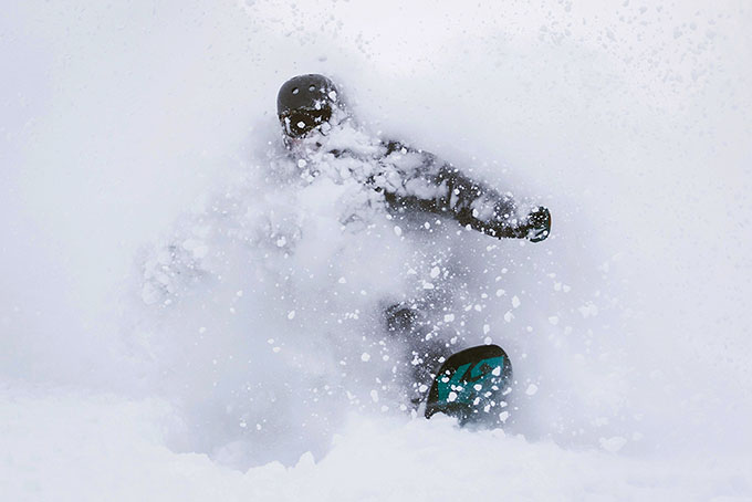
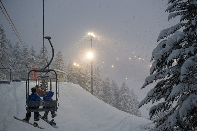
What a way to bring in 2016 – Madarao Image:: David Churchill / Myoko Snowsports
Mountainwatch | Japan Snow Wrap
There’s no doubt that conditions in Japan have improved in the last two weeks, although by no means is it smooth sailing just yet. Christmas Day delivered the first taste of powder for both locals and holiday makers when around 50cm of fresh fell just in time for some incredible days skiing.
The follow-up to that Christmas storm arrived overnight on New Years Eve when another 20-30cm of fresh snow arrived, delighting those who’d skipped the NYD hangover. Unfortunately, this was followed by a decent outbreak of warm weather and it’s been spring skiing ever since. If you’ve been following the daily reports you’d know that most resorts are hanging in there in the Hakuba region, with a similar story in Myoko. Up in Hokkaido the story is a little better, although by no means are the mountains their usual selves. The alpine region in Niseko is sitting on a 240cm base with around 100cm at mid-mountain. The good news for both regions is that there is snow on the way. More on that below.
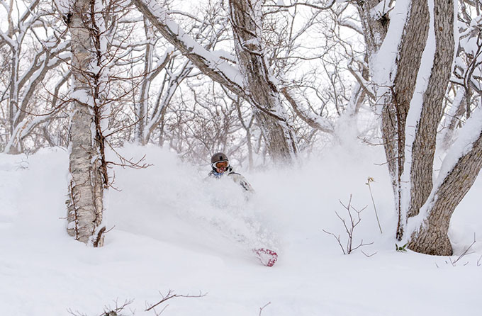
Pow-day love? Image:: David Churchill / Myoko Snowsports
READ NOW: Have you checked out our daily written snow reports from Hakuba, Niseko and Furano?.
Today on the hill
Niseko:
It was overcast and cool this morning with some light snow early on. All lifts and gondolas are operating which thankfully kept the crowds down. Winds remained light but they had a bitter -24º wind chill, rug up over the next few days.
Hakuba:
It was warm, sunny and spring-like up on the Hakuba peaks today which is not good news for anyone at this time of year. Stay on-piste over the next few days and keep an eye on the forecast!
Furano:
There was 25cm of new snow overnight in Furano last night, but it’s heavy going down low. All lifts and the majority of terrain are operating on a 220cm base. Furano is definitely the place to be in Japan right now.
In The Forecast
Hakuba:
The models are calling for a cool change to arrive from Thursday, which will help to improve the conditions remarkably. There is some snow associated with the change, it’s looking like about 20-30cm by the end of the weekend.
Niseko:
The freezing level is flat-lining for the next 7-days which is great news. Winds look set to be strong every day so check for wind-hold. There will be consistent 10-15cm falls right through until the beginning of next week. Enjoy.
Knee deep at least. Image:: David Churchill / Myoko Snowsports
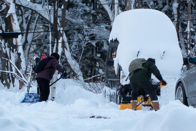
Small cars and big snow = hard work Image:: Ben Ey
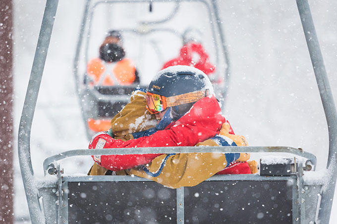
The night skiing in Niseko on New Years Eve was a great way to spend NYE Image:: Glen Claydon Photography
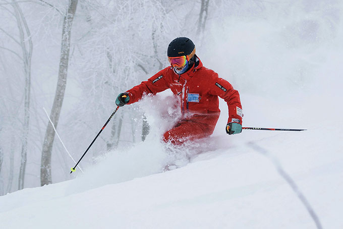
On the first powder day of the season it pays to ride with a local Image:: Glen Claydon Photography
Hakuba forecasts,
snow reports and
live snow cams.
Niseko forecasts,
snow reports and
live snow cams.


