Grasshopper’s Weekly Japanese Forecast, January 27 – More Subdued Conditions
Mountainwatch | The Grasshopper
Valid Thursday 27 January– Thursday 3 February
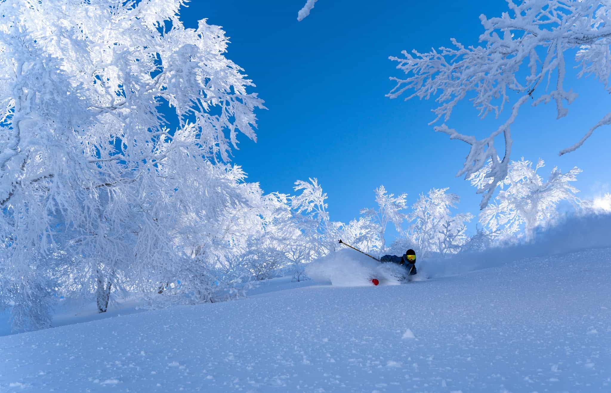
It has been a hit and miss week around Japan with Niseko recording just 25cm over the last week while best placed areas of Honshu recording up towards one metre. Myoko looks to be one of the leaders with 96cm over the past week compared to Hakuba and Shiga Kogen recording around 50cm.
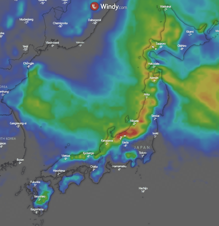
For the coming week there is of course more snow on the way. Today’s ECMWF 10-day heatmap below shows again a better outlook for Honshu, something I’m sure those up north are getting tired of. Maximum snow totals in for the next 10 days are around 1.3m in Honshu and 60cm in Hokkaido.
Forecast
Thursday, January 27 – Friday, January 28
Gusty northwesterly winds around Honshu with light snow expected throughout the day. Light snow also expected up around Hokkaido with winds a little easier accompanying relatively warm temps.
Friday will see some early fog around Hakuba with snow starting to fall in the morning and continuing through the day. Totals around 4-12cm, possibly more in some areas. For Hokkaido it’s a cloudy day with more light snow through the day, there may be decent falls in the evening with totals round 5-15cm.
Saturday January 29 – Sunday – January 30
A cloudy start around Hakuba with early flurries before clearing slightly for some sunshine. Moderate westerlies around Hokkaido should bring some snow with heaviest falls in the evening. Totals around 12-20cm.
West northwesterly winds around Honshu on Sunday deliver some snow through the day with heaviest falls coming through the evening. Totals around 8-25cm+. Relatively cold around Hokkaido with persistent light snow through the day, totals around 5-15cm possibly more in some areas.
Monday, January 31 – Wednesday, Feb 2
North northwesterlies around Honshu bring light snow through the day but shouldn’t amount to much, maybe a few cm. Around Hokkaido the sun comes out a little with a partly cloudy day.
On Tuesday we’ll see some early fog around Honshu clearing for some sunshine through the day before snow develops through the evening. Falls shouldn’t be too significant. For Hokkaido persistent light snow through a cloudy day with expected totals around 3-10cm.
Snow on Wednesday for Central Honshu as northwesterly winds pick up. Totals 5-15cm+. For Hokkaido it is more of the same with light snow again persisting through the day. Totals around 3-10cm.
Extended Outlook
For the next week there is snow around Japan, but it looks to be mostly quite light. The biggest falls making up the heatmap I shared earlier appear to come through the next Thursday/Friday. Before then there are still some days to enjoy around the country if you are able to. Many of the days through the next week feature flurries that won’t quite turn into the deep snowfalls we have seen in recent weeks. As we move towards spring fingers crossed for some of those massive Japanese February storms we have come to love.
Take care and see you next Thursday, Grasshopper


