Mountain Safety Collective Backcountry Conditions Report – Friday 21 August 2026
Mountainwatch | Mountain Safety Collective
As the sun rises on Friday morning, rainfall totals over the past 36hrs are 69mm at Mt Hotham and 58mm at Thredbo. This fell on a snowpack that was already moist due to previous rain and mild temperatures, and the Spencer’s Creek monitoring station indicates we passed peak snow depth for the season around August 13. With El Niño starting to bite hard, spring is already upon us.
For anyone keen to get into the backcountry, unsettled weather will continue through Friday with strong to extreme winds in the alpine and limited visibility due to low cloud. Saturday will see clouds starting to clear into sunny days and mild temperatures on Sunday and Monday with moderate winds, potentially gusting stronger in the alpine. Another front arrives late Monday night with 30-60mm of more rain likely to fall through to Thursday.
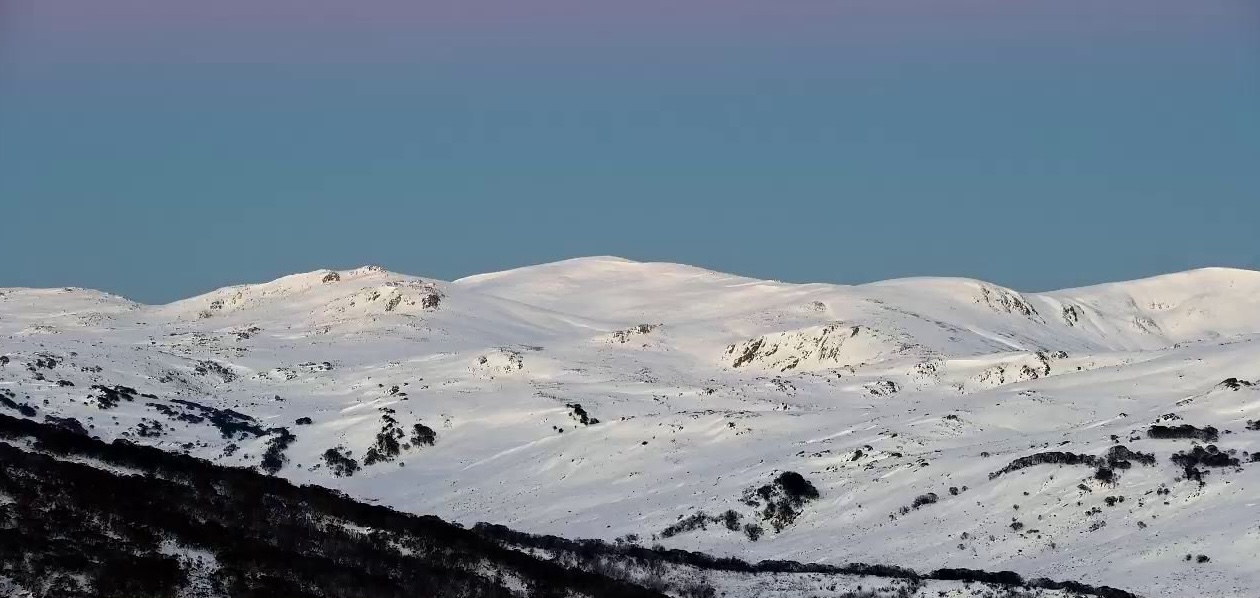
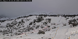
Make the most of any good weather windows while you can, as the snowpack will be rapidly contracting over the next couple of weeks. Access from lower trailheads was already a bushwalk last weekend, with deeper snow cover in place above 1800m. There may be some new snow above 2000m in NSW that’s fallen in the past 36hrs, but no observations have been possible yet.
Windloaded slopes protected from the sun will hold the best cover, while sun facing slopes will soften quickly through the day. The snowpack will be isothermal and unsupportive if you’re not using touring skis or splitboards to skin uphill. Continue to carry crampons in case a surface crust has formed overnight. Wet-loose avalanches may be possible on steeper slopes where the snowpack has been saturated by the rain.
Make sure you check Mountain Safety Collective’s free, daily Backcountry Conditions Reports for the most up to date information. MSC’s Membership Drive is still running through August with some fantastic prizes being drawn.