Weekly Japan Forecast, December 14th – A Week fof Japowdermonium Ahead As a Duo Of Snowstorms Look Set To Get Japan Off To a Rocketing Start
Mountainwatch | The Grasshopper
Written Thursday 14th December (Japan Standard Time)
Over the coming week, a total of three lows will cross Japan. The first will bring heavy rain to Honshu, as well as a bit of snow to Hokkaido, Fri-Sat. However, it’s the next two that we’re really interested in.
The next two lows will bring about two waves of freezing winds flowing off the frozen continent and result in a massive, deep week of Japow. The first of such waves hits on Sunday, the second hits late Wednesday, with snowfalls likely lasting all the way into next weekend.
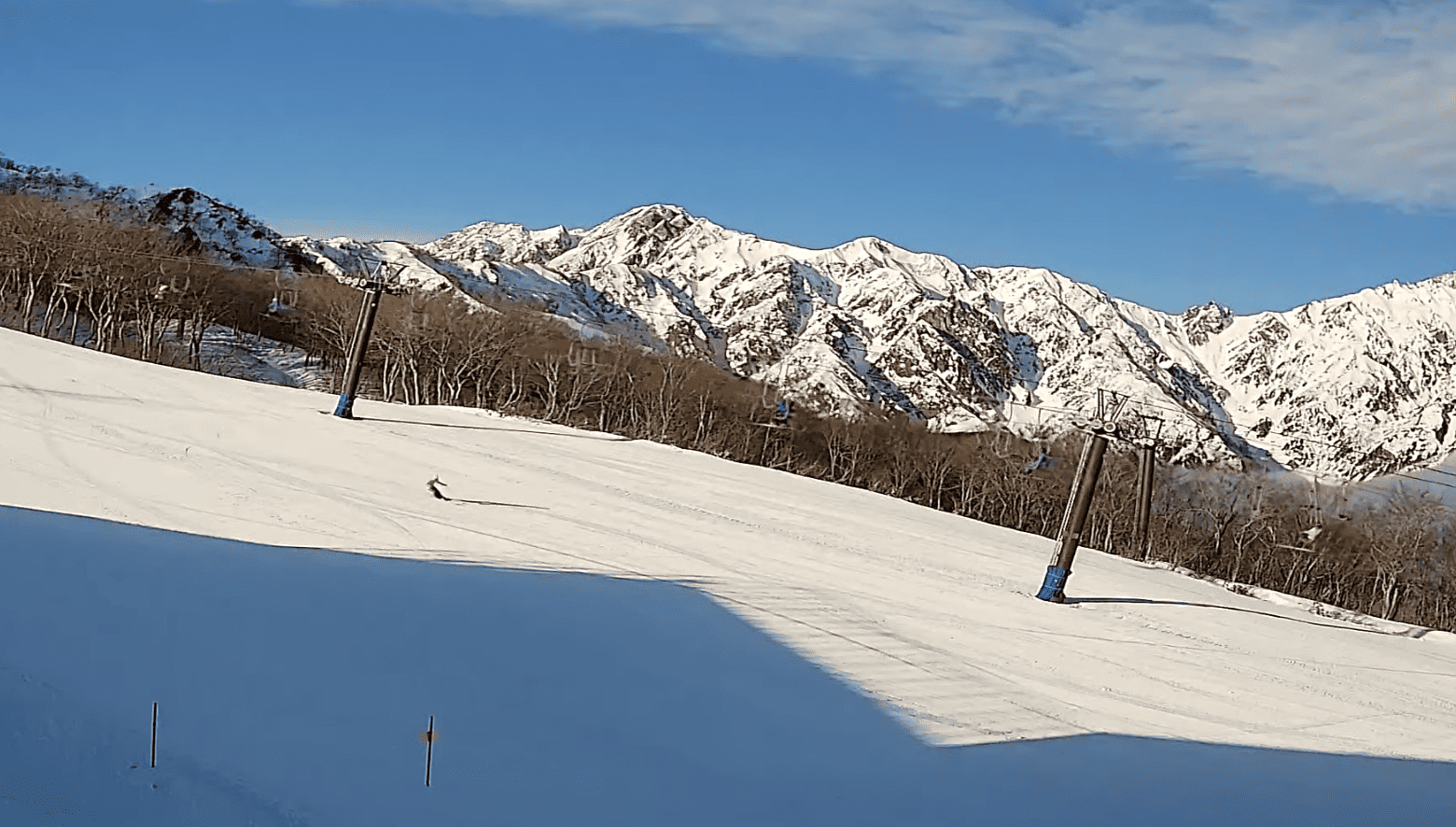
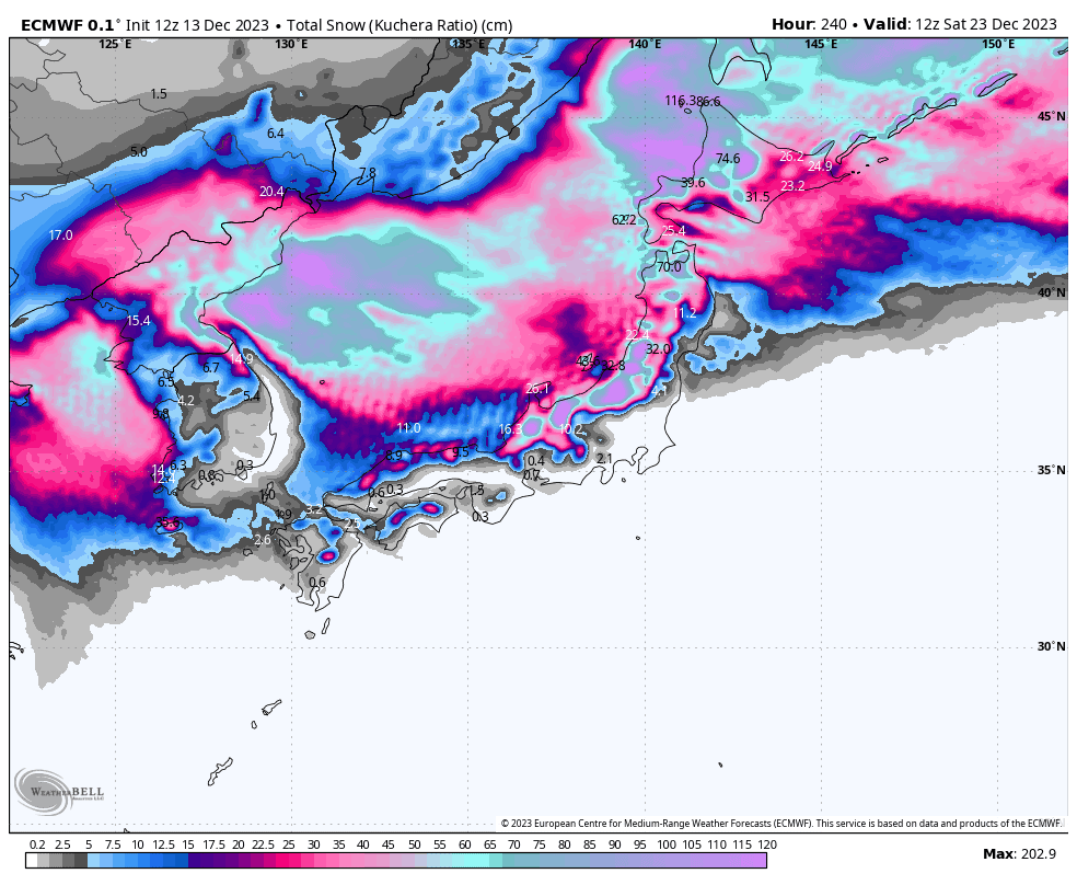
Snowfall totals are tricky, but I reckon we’re looking at up to 1-1.5m for the week, from central Honshu to Hokkaido, possibly even 2m+ in some areas. It’s going to be Powdermonium, Japan style, and will get the season off to a rocketing start.
Thursday 14th to Saturday 16th
Thursday, a ridge brings fine settled conditions to Central Honshu, while cold NW winds continue to send in cloud and light snowfall further north.
Friday and Saturday, a low shooting out the west will bring ghastly periods of heavy rain to Honshu. Hokkaido is lucky enough to stay north of the warm air and will see decent snowfall develop Saturday, although warm air will sneak in for a time overnight for a little low-level rain.
Sunday 17th to Tuesday 19th
Sunday, a second rapidly deepening low crosses Hokkaido early in the day, heralding the start of the first big snowstorm. Temperatures and snowlines plummet to rock bottom as strong winds flow off the frozen continent and hit Japan from the W-NW.
Heavy snowfalls will gradually back off Monday, then peter out Tuesday as the storm winds down, starting with central Honshu early and finally Hokkaido later in the day.
Wednesday 20th & beyond
Wednesday, a third low drifts across Honshu. Temperatures will briefly rise with a little low-level rain on Honshu, before the second wave of freezing winds likely hit late that day or at night. Heavy snowfall will ensue, which is expected to start backing off either next Friday or over the weekend.
Extended Outlook
The following week, starting with Christmas day, could see a calm spell through the first half as high pressure follows on the heels of a stormy week. It’ll be a good chance to take stock and score some deep turns over the holiday period – the perfect Christmas Present!
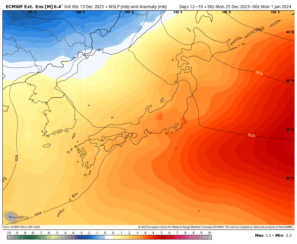
With the high-pressure departing, the second half of that week will be open to perhaps weak-moderate frontal/low-pressure systems, which could bring a little rain before a bit of snowfall.
That’s all from me today, guys and gals. Have a great week and I’ll see you next Thursday.
Grasshopper


