World Snow Wrap December 15th – More Snow More Resorts Opening as We Head Towards the Busiest Time of the Year.
Mountainwatch | Reggae Elliss
The past two weeks have seen more snow and some epic powder days in the European Alps, a couple of good storms for the Rockies and BC while in Japan things are about to ramp up after a slow start to December,
Japan
It has been an up and down couple of weeks in Japan with snowfalls in both Honshu and Hokkaido being followed by some milder weather and rain. The result has been a loss of snow at lower elevations in resorts on Honshu where the open resorts in Hakuba Valley, Nozawa and Shiga Kogen are operating on limited terrain and spring-like snow for the past few days. There has been a couple of centimetres of snow over the past two days at higher elevations but rain/drizzle down low.
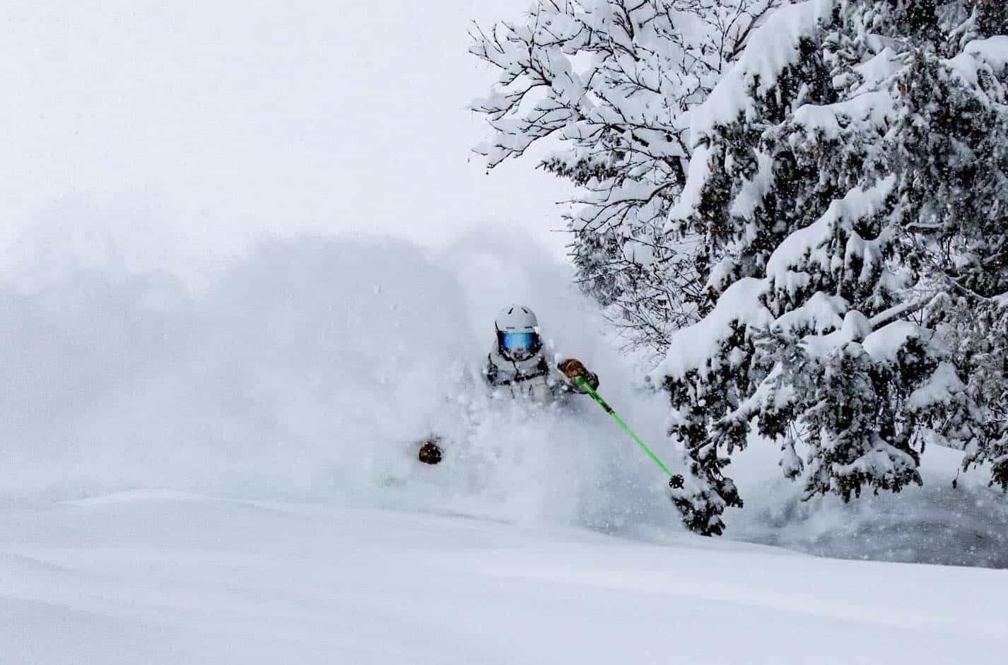
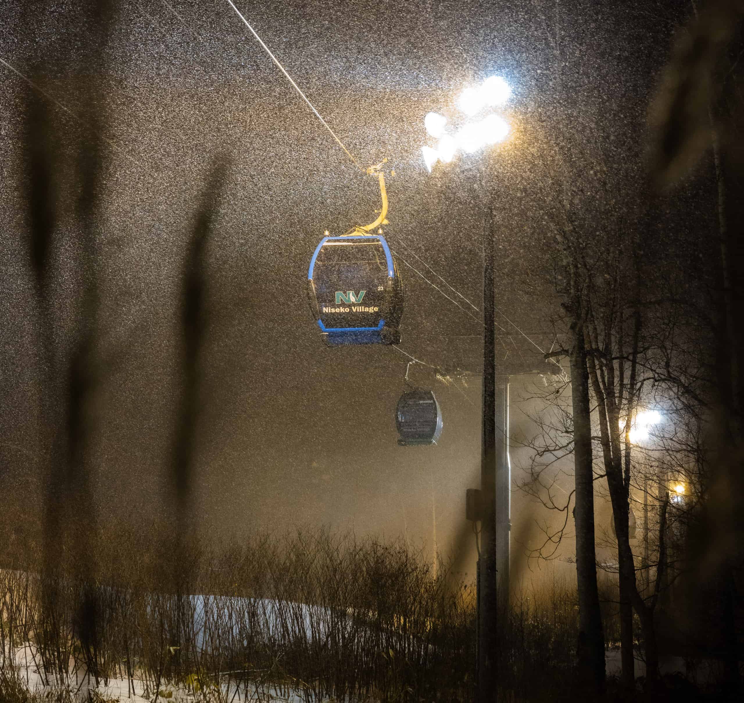
It is a similar story up north in Hokkaido with a couple of cms in the past few days. The skiable terrain in open resorts like Niseko, Rusutsu and Furano is mainly on piste, although the base is slightly above average for this time of year.
As is usual for December, many resorts on Honshu are yet to open and while quite few had set an opening date for this weekend many, like Myoko and Madarao, have delayed the opening for at least a week due to the lack of snow. However, if you’ve read yesterday’s Japan forecast from the Grasshopper you’ll know that is all about to change with solid snowfalls and big snow totals expected over next week. That should result in more resorts opening by Christmas.
USA
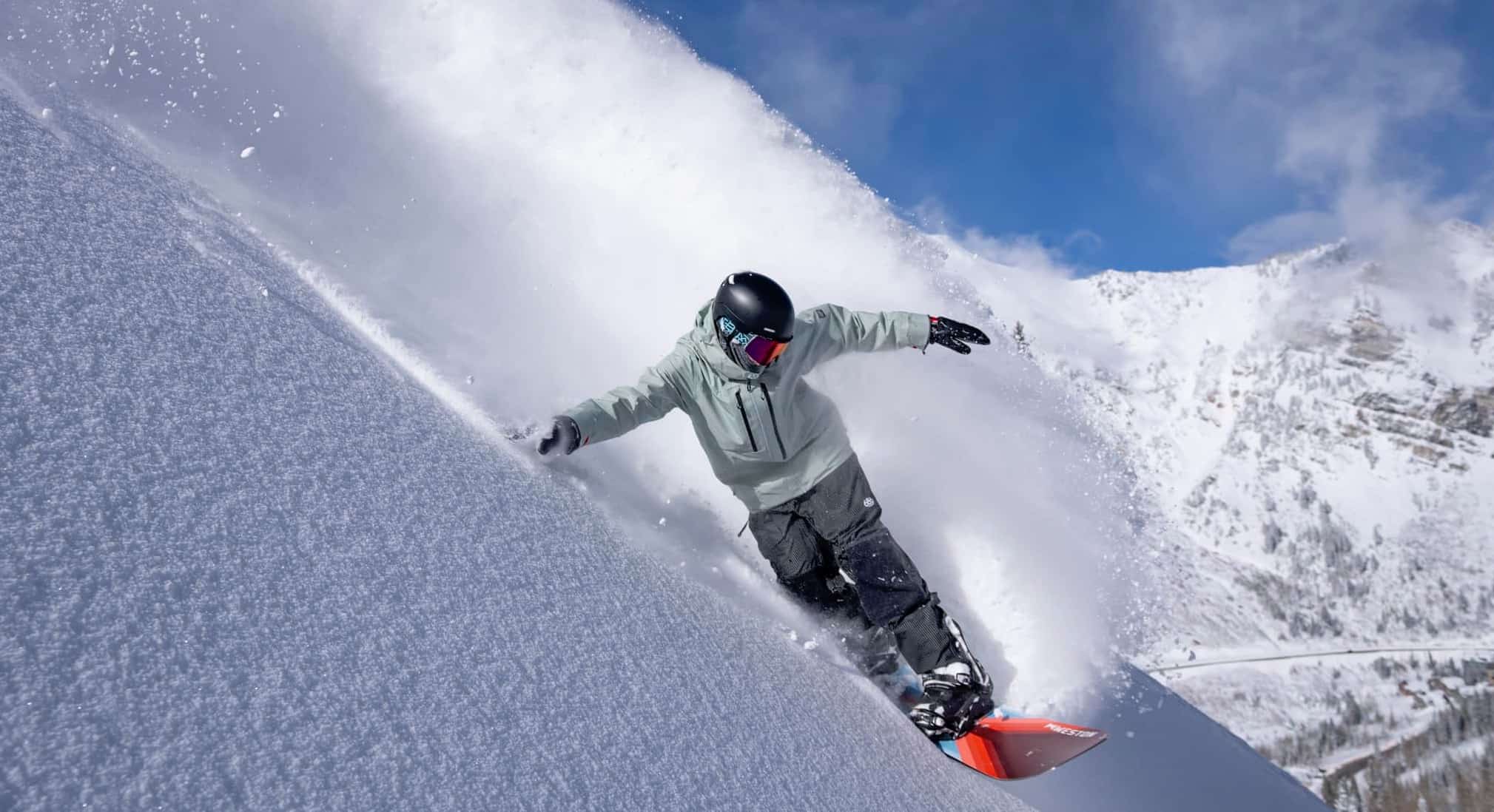
After a lacklustre November, more resorts have opened in the US over the past two weeks and snowfalls last weekend resulted in some good powder turns for resorts in Colorado, Utah and Wyoming. Totals were in the in the 35-50cms mark although Alta and Snowbird received 75cms. Resorts in the Rockies are still are operating on early season terrain, but last week’s snow resulted in more lifts opening.
In Californian the Tahoe resorts finally had some snow last week, Palisades Tahoe receiving 45cms on Dec 7/8 while further south Mammoth missed out again with just 5cms last week. However, a storm is expected to hit Californian next week and while rain/wet snow is likely for the base in the Tahoe resorts, Mammoth’s higher elevation could result in 70cms over a four-day period from Sunday.
However, there’s also snow the forecast for the Rockies with small daily accumulations and just 10-15cms expected for Aspen and Vail over four days while Jackson Hole could also see 15cms. The Grasshopper released his first North American forecast for this season yesterday – check it out for the details on the next 7 days.
Canada
More resorts opened in Canada last weekend including Kicking Horse and Revelstoke which turned on plenty of good turns thanks to 30-40cms of snow in the days leading up to the opening. It has been relatively dry in Whistler Blackcomb since the first weekend of December when 25cms fell although a storm hit yesterday with 10-15cms expected by the time snowfalls ease some time today. It currently has only 29% if terrain open. There is a possibility of some snow in the lead-up to Christmas but whether that results in more lifts and terrain open remains to be seen. So, most likely long lift lines for the busy Christmas period – nothing unusual for Whistler!
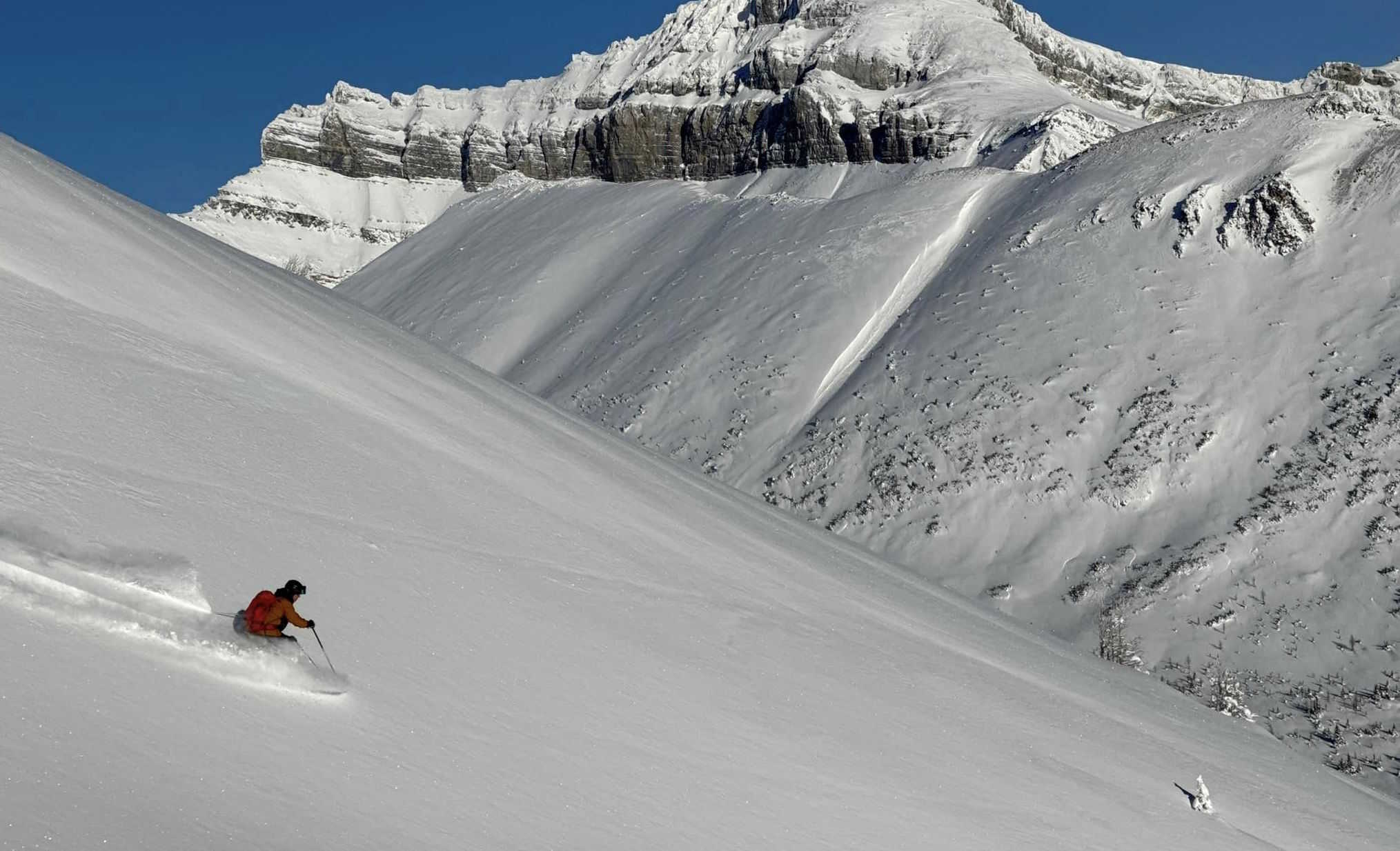
Lake Louise had a good fall late last week with 40cms setting up a couple of fun pow days and very good conditions last weekend. It currently has 58% of its terrain open and the past few days have been pretty good with dry packed powder on the groomed runs and a few fresh stashes off piste. There’s next to nothing in the latest forecast with just a few cms expected inmost Alberta resorts in the next 10 days.
Europe
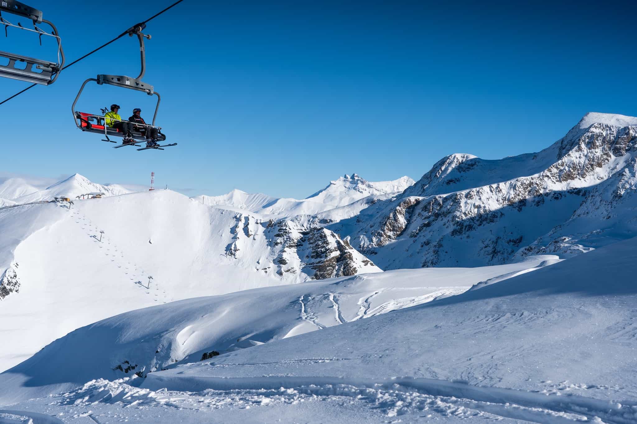
The excellent season start has continued in the Alps with good snowfalls in the past two weeks, although a spike in temps saw some rain at lower elevations last weekend. Most resorts in the Alps are faring very well and there have been widespread snowfalls and big snow totals since last weekend with 40-95cms for resorts in Austria, Switzerland and France. The Arlberg region in Austria continues to boast great conditions, St Anton reporting another 60cms this week while in France Val d’Isere has received 95cms over the past five days. Verbier also received another 76cms and is also enjoying an epic start to the season.
However other European areas are not seeing the same snow as the Alps, with Italy’s Dolomites receiving just 5cms this past week while in the Pyrenees there was 10cms.
There has been more snow across the Alps in the past 36 hours but forecast is for milder weather over the next few days with sunshine on the weekend before colder weather and a few light snowfalls next week.
Where We Would Like to Be This Week
Niseko. It may be early season with limited terrain open, but next week’s storm will see big accumulations with minimal pre-Christmas crowds there will be more than enough powder turns to go around.


